Install
Cloquet, MN Weather
Current conditions
Forecast for this hour (no station report in the last two hours)
Forecast
10-day-
Tonight
A chance of rain showers before 7pm. Mostly cloudy. Low around 37, with temperatures rising to around 39 overnight. Northwest wind 5 to 10 mph, with gusts as high as 20 mph. Chance of precipitation is 40%. New rainfall amounts between a tenth and quarter of an inch possible.
-
Sunday
Partly sunny. High near 55, with temperatures falling to around 51 in the afternoon. Northwest wind around 5 mph.
-
Sunday Night
Mostly cloudy, with a low around 33. North wind around 5 mph.
National Weather Service forecast updated 11 hrs ago.
Hourly
Hourly forecast- Now46°
- 1 AM45°
- 2 AM43°
- 3 AM42°
- 4 AM41°
- 5 AM39°
- 6 AM38°
- 7 AM38°
- 8 AM37°
- 9 AM40°
- 10 AM45°
- 11 AM47°
- 12 PM51°
- 1 PM52°
- 2 PM53°
- 3 PM54°
- 4 PM53°
- 5 PM51°
- 6 PM49°
- 7 PM48°
- 8 PM46°
- 9 PM44°
- 10 PM44°
- 11 PM43°
10-day forecast
Details- SatOct 24Rain Showers76%37°71°
- TodayOct 25Partly Sunny33°55°
- MonOct 26Partly Sunny84%32°45°
- TueOct 27Rain Showers84%42°49°
- WedOct 28Rain Showers Likely59%39°60°
- ThuOct 29Mostly Sunny33%39°57°
- FriOct 30Chance Rain Showers64%41°56°
- SatOct 31Cloudy47°68°
- SunNov 1Cloudy0.06 in48°57°
- MonNov 2Light rain0.03 in48°55°
Days after the National Weather Service's seven are MET Norway's outlook, a computer model with no forecaster's review.
Radar
Full mapWeather news in Minnesota
More weather news-
 When Does Daylight Saving Time End in Minnesota?
I like bright sunny summer days, so the transition to fall is always a downer for me. The part I like the least is how short the days get. You've probably already noticed the sun going down earlier each day, and it…
-
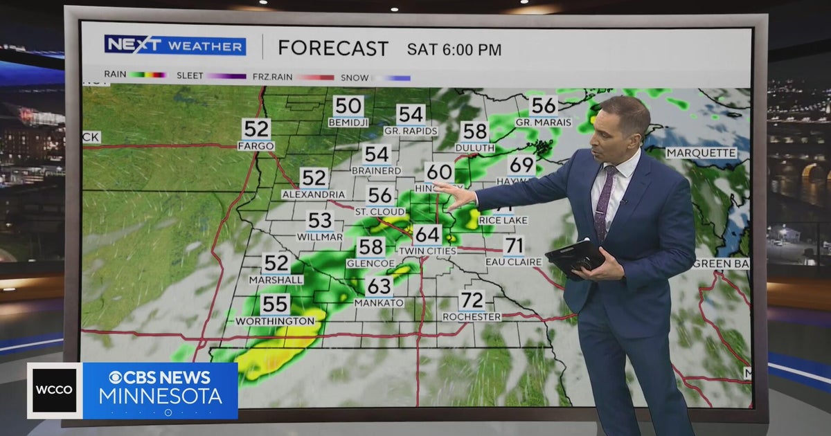 Minnesota weather to feature warm temps Saturday before cooldown | Oct. 23, 2026
CBS News Minnesota is a local news organization that is part of CBS News and Stations. Also referred to as WCCO-TV and channel 4, CBS News Minnesota offers local breaking news, weather coverage and investigative…
-
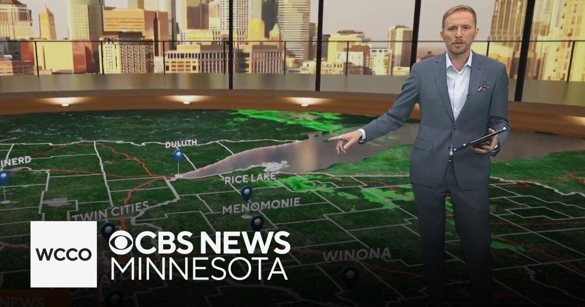 Another round of wind and showers Saturday in Minnesota | Oct. 24, 2026
CBS News Bay Area Morning Edition Weekend 6am WBZ This Morning 8am CBS News Chicago Saturday 8am CBS Colorado Mornings Weekend CBS News Los Angeles Weekend 6am CBS News Miami This Morning 9am WCCO News Saturday Morning…
-
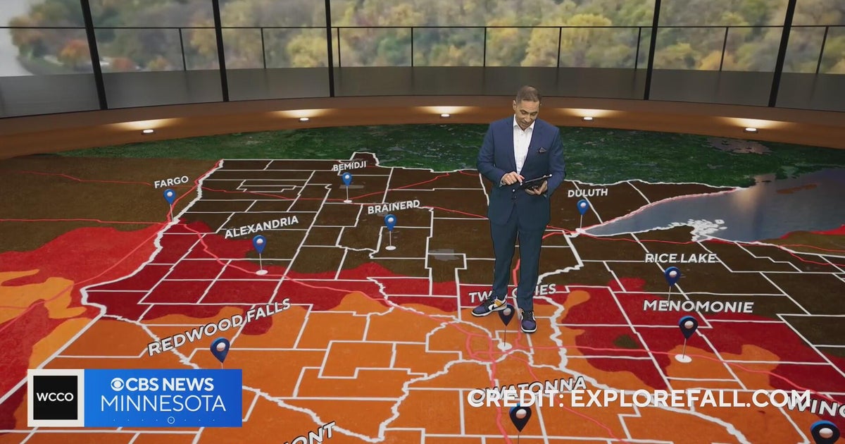 Minnesota weather: one last warm day, then a damp, cool change | Oct. 23, 2026
CBS News Minnesota is a local news organization that is part of CBS News and Stations. Also referred to as WCCO-TV and channel 4, CBS News Minnesota offers local breaking news, weather coverage and investigative…
-
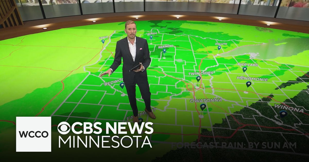 Minnesota's weather is about to pivot back to fall | Oct. 23, 2026
CBS News Minnesota is a local news organization that is part of CBS News and Stations. Also referred to as WCCO-TV and channel 4, CBS News Minnesota offers local breaking news, weather coverage and investigative…
-
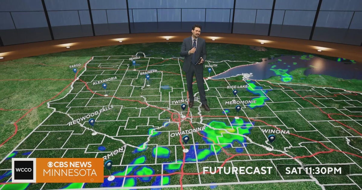 Minnesota weather turns cooler after a Saturday cold front brings light showers | Oct. 23, 2026
Rain chances improve Saturday afternoon and evening, with amounts under a tenth of an inch and gusts near 30 mph. Highs reach the 70s ahead of the front, then fall to the mid 50s Sunday, WCCO meteorologist Joseph Dames…
-
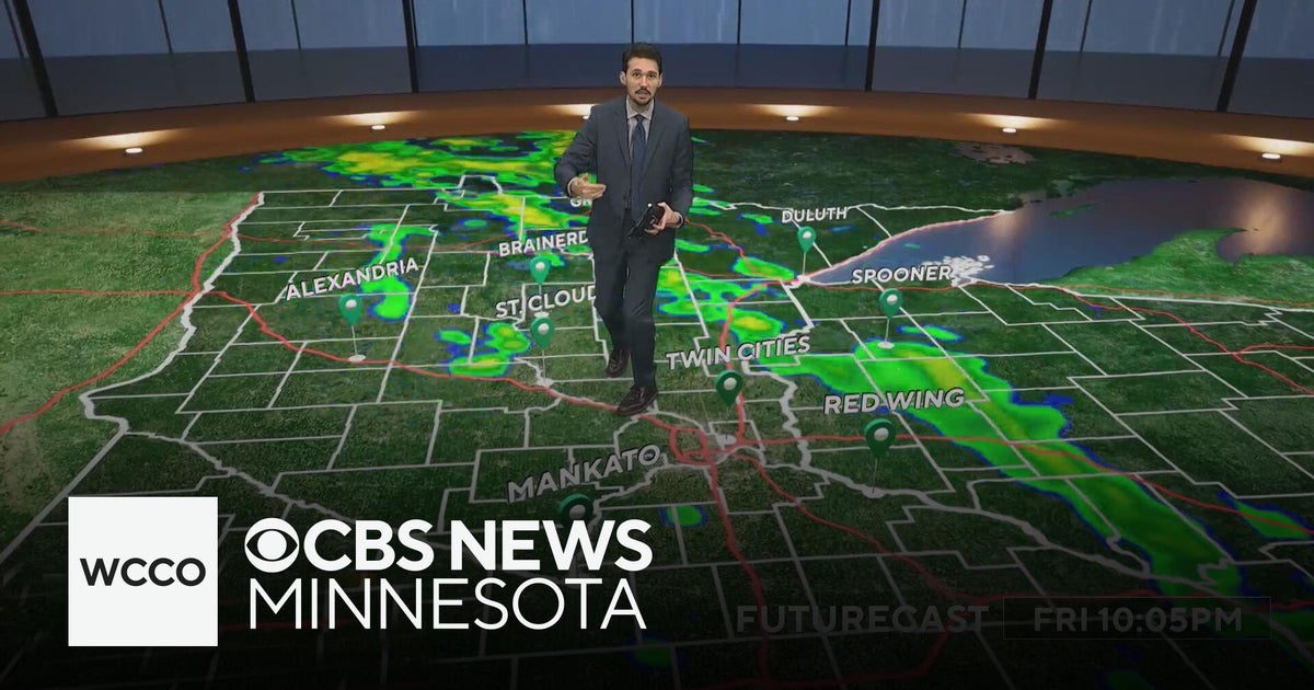 Last taste of mild fall weather in Minnesota | Oct. 23, 2026
CBS News Minnesota is a local news organization that is part of CBS News and Stations. Also referred to as WCCO-TV and channel 4, CBS News Minnesota offers local breaking news, weather coverage and investigative…
-
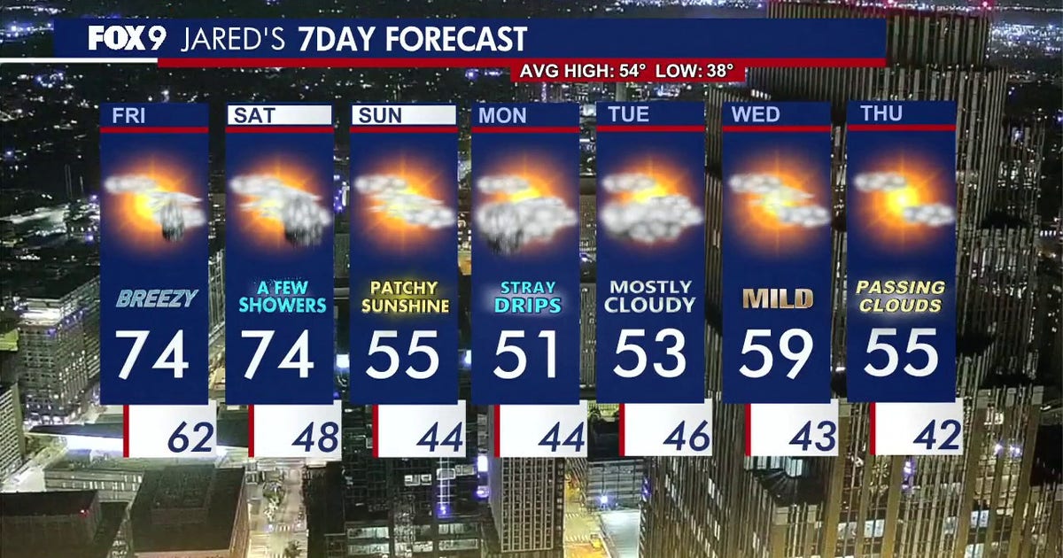 Minnesota weather: Breezy and warm Friday with small rain chances later
Friday is staying warm with small rain chances later in the afternoon. FOX 9 meteorologist Jared Piepenburg has the full forecast. MINNEAPOLIS (FOX 9) - Friday is off to a mild and quiet start before a warm and breezy…
-
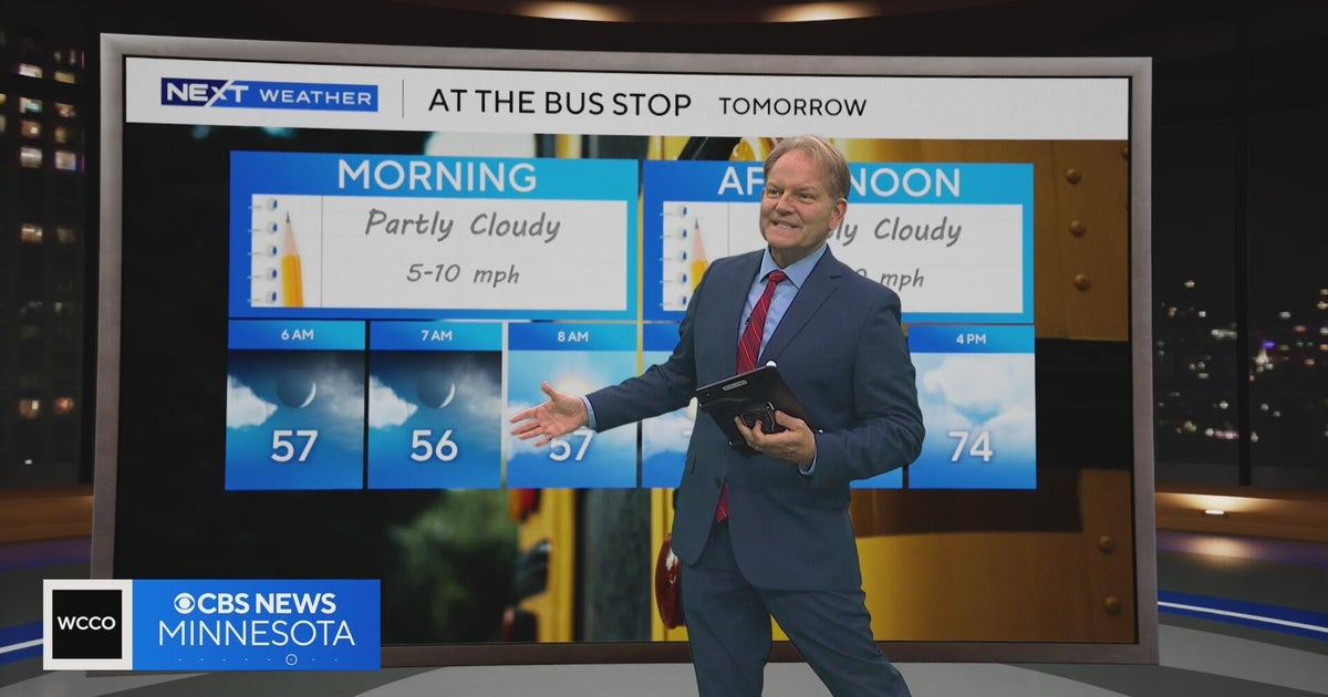 Minnesota sees chances for rain and more seasonable temps soon | Next Weather 10 p.m. Oct. 22, 2026
CBS News Minnesota is a local news organization that is part of CBS News and Stations. Also referred to as WCCO-TV and channel 4, CBS News Minnesota offers local breaking news, weather coverage and investigative…
-
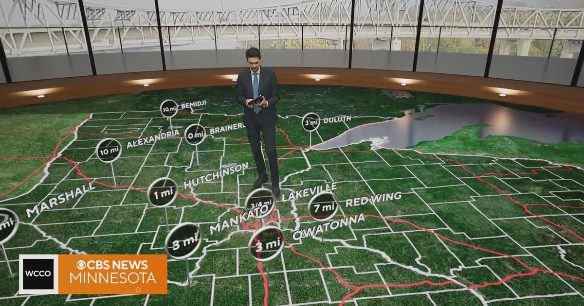 Minnesota gets 3 more days in the 70s, then a cold front cuts the weekend in half | Oct. 22, 2026
Thursday and likely Friday and Saturday all reach the mid 70s, then a cold front moves through Saturday evening and night, dropping highs into the 50s Sunday and the lower 50s Monday through Wednesday, WCCO…
Air quality
Air quality is satisfactory, and air pollution poses little or no risk.
Forecast
- SunGood
- MonGood
- TueGood
Duluth Area, MN reporting area · 1 hr ago. Data from AirNow (EPA and its state, local and tribal partners); preliminary and subject to change.
Sun & moon
Almanac
MonthlyDuluth Area, records since 1874. Normals 1991–2020. Data from NOAA's Regional Climate Centers (ACIS).
Nearby
- Duluth 28 km
- Superior 27 km
- Hermantown 19 km
- Proctor 18 km
- Arnold 33 km
- Moose Lake 38 km
Forecasters' discussion
From the National Weather Service office in DLH, issued 9 hrs ago
Key Messages
- Showers end tonight from west to east.
- Colder air arrives for Sunday through Tuesday with temperatures closer to normal.
- The pattern turns more active for the coming week with multiple chances for rain (and a little snow) with temperatures warming back above normal for the latter part of the week.
Discussion
Issued at 330 PM CDT Sat Oct 24 2026
Low pressure was located over northern Manitoba early this afternoon with a cold front extending into northwestern Ontario, central Minnesota and western Iowa. A line of showers was observed on radar ahead of this cold front from northeastern Minnesota into central Minnesota. A large area of high pressure was centered over the northeastern CONUS with another area in the northern High Plains. As the cold front moves to the east into tonight, showers will end from west to east. An isolated lightning strike or two cannot be ruled out with this activity, but instability is very limited and lightning activity has ceased after being present earlier this morning. Breezy southerly slow ahead of the cold front has resulted in temperatures warming into the 60s and 70s from the Minnesota Arrowhead into the I-35 corridor and across northwest Wisconsin.
A much more seasonable airmass arrives tonight behind the cold front as high pressure builds in from the west. Highs tomorrow will only be in the upper 40s and 50s with mainly dry conditions. The cold front may linger across northern Wisconsin into southern Minnesota and bring a stray shower or two to our southern row of counties in northwest Wisconsin. With the drier air moving in and northwest winds gusting to 15 to 20 mph across northeastern Minnesota, RH values may fall into the 25 to 35% range during the afternoon. Much of northern Minnesota away from Lake Superior will fall below freezing tomorrow night with mid-20s possible in north-central Minnesota.
High pressure will be to our north on Monday before shifting to the east Monday night into Tuesday. Surface low pressure will move from the Central Plains to the Red River Valley of the North Monday night into Tuesday and bring chances for showers to the region starting Monday night. Another upper low will emerge from the Rockies Tuesday night into Wednesday with another area of surface low pressure developing across the Northern Plains. This will keep chances for showers in place across the Northland into Wednesday afternoon. Additional rainfall chances will then be seen for the end of the week. Highs Monday and Tuesday will be in the 40s and 50s before warming into the 50s and 60s for the remainder of the week. With lows Monday night into Tuesday morning falling below freezing across northern Minnesota, so snow may mix with the rain or possibly change over to all snow for a brief period before temperatures trend warmer after sunrise Tuesday morning. No accumulations are expected, but don't be surprised to see some white stuff in the air in spots early Tuesday morning.
Aviation
Issued at 1255 PM CDT Sat Oct 24 2026
A line of showers currently extends from northeastern Minnesota southwest into the Brainerd Lakes area with MVFR conditions prevailing under this activity. A few pockets of IFR ceilings are present as well, but this is expected to be short lived. Lightning activity has dropped to almost nothing, but an isolated strike or two cannot be ruled out as activity moves to the east. VSBYs will drop to MVFR for a period as the heaviest area of showers moves through before returning to VFR. Ceilings are expected to rise to VFR following the showers with VFR prevailing thereafter. Gusty southwesterly winds will turn northwesterly as a cold front passes through this afternoon and evening and then decrease to under 10 knots for the overnight hours.
Marine
Issued at 1255 PM CDT Sat Oct 24 2026
Southwesterly winds gusting to 20 to 25 knots will continue this afternoon before turning northwesterly and diminishing this evening into tonight as a cold front moves through. Small Craft Advisories remain in effect this afternoon, but are expected to end by early evening as winds diminish. A line of showers will be ahead of the cold front and a few isolated lightning strikes cannot be ruled out in this activity. Westerly to southwesterly winds of 10 to 15 knots are expected for Sunday with a few gusts to 20 knots possible along parts of the North Shore. Winds then swing around out of the northeast for Monday at 10 to 20 knots, highest in the western arm of the lake.
For the open water discussion, refer to the NWS Marquette Area Forecast Discussion at weather.gov/mqt.
Forecasts, observations and alerts in the United States come from the National Weather Service (NOAA); radar from NOAA's Multi-Radar Multi-Sensor system; satellite imagery from NASA's Global Imagery Browse Services (GIBS) and NOAA's GOES satellites; the map from the U.S. Geological Survey's National Map; air quality from AirNow (EPA and its partners); hurricane information from the National Hurricane Center; climate normals and records from NOAA's Regional Climate Centers (ACIS). Forecasts outside the United States and the UV index: MET Norway (CC BY 4.0); observations outside the U.S.: airport reports via NOAA's Aviation Weather Center. Place names: GeoNames (CC BY 4.0). Data are copied on a schedule and may lag the sources; for warnings that affect your safety, follow your local National Weather Service office and emergency officials. Weather news is drawn from the 4Conservative index and reflects what the press published. Terms of use.