Install
Breckenridge, MN Weather
Current conditions
Forecast for this hour (no station report in the last two hours)
Forecast
10-day-
Saturday
Partly sunny, with a high near 64. West wind 13 to 18 mph.
-
Saturday Night
Mostly cloudy, with a low around 35. Northwest wind 6 to 10 mph.
-
Sunday
Partly sunny, with a high near 49. North wind 5 to 8 mph.
National Weather Service forecast updated 2 days ago.
Hourly
Hourly forecast- Now60°
- 2 PM60°
- 3 PM59°
- 4 PM59°
- 5 PM57°
- 6 PM55°
- 7 PM53°
- 8 PM51°
- 9 PM48°
- 10 PM46°
- 11 PM44°
- Sun12 AM43°
- 1 AM42°
- 2 AM40°
- 3 AM39°
- 4 AM37°
- 5 AM36°
- 6 AM35°
- 7 AM35°
- 8 AM37°
- 9 AM39°
- 10 AM41°
- 11 AM43°
- 12 PM46°
10-day forecast
Details- ThuOct 22Sunny56°77°
- FriOct 23Mostly Sunny then Chance Light Rain36%57°76°
- TodayOct 24Partly Sunny14%35°64°
- SunOct 25Partly Sunny37%32°49°
- MonOct 26Chance Light Rain35%30°48°
- TueOct 27Slight Chance Light Rain21%34°50°
- WedOct 28Slight Chance Light Rain19%34°55°
- ThuOct 29Cloudy32°40°
- FriOct 30Sunny31°53°
- SatOct 31Partly cloudy37°51°
Days after the National Weather Service's seven are MET Norway's outlook, a computer model with no forecaster's review.
Radar
Full mapWeather news near Breckenridge
More weather news-
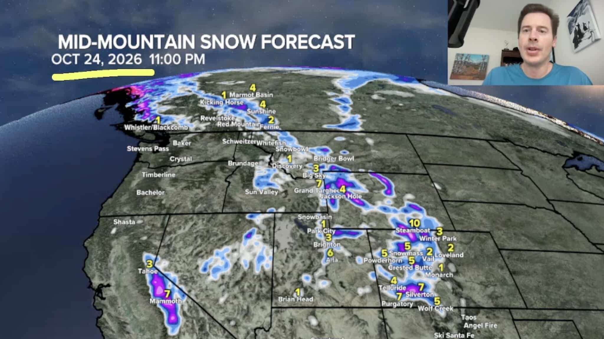 Sierra Nevada, Colorado, and Wyoming Could See A Lot More Snow Next Week
The Sierra Nevada is positioned to receive some of the highest snowfall totals in Tomer’s latest forecast. The incoming storm is expected to dig south into California, generating snowfall across the High Sierra. Tomer…
-
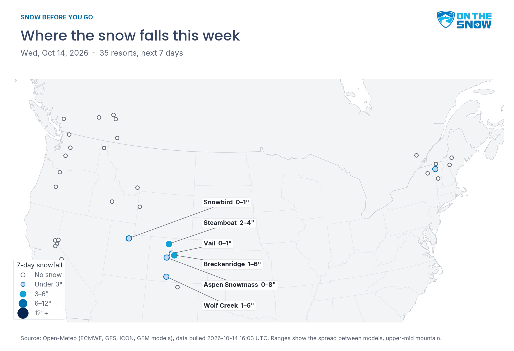 Snow Before You Go: Where to Find the Best Snow This Week
OnTheSnow.com Colorado gets a real taste of winter today through Thursday. Steamboat picks up 2–4 inches, and Breckenridge, Aspen Snowmass, and Wolf Creek could see a few inches each, though the models disagree on how…
-
 Urgent Winter Weather Advisories Issued for 30 Counties in Colorado as Conditions Intensify
Winter Weather Advisories take effect Wednesday for Colorado’s high country, with 4 to 12 inches of snow expected near Aspen, Vail, Winter Park, Breckenridge, Telluride and Wolf Creek Pass. Four National Weather Service…
-
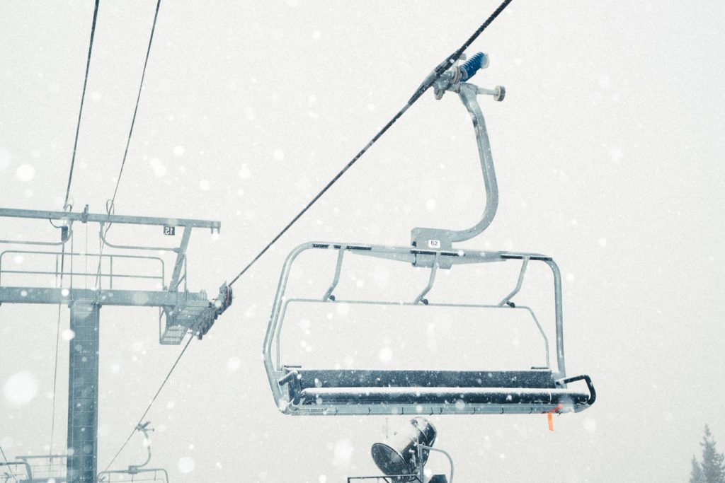 Snowfall to reach double digits on some Western Slope mountains
NewsNews | Oct 13, 2026 Colorado’s High Country could see up to 12 inches of snow through Thursday morning as a storm moves through the western mountains, according to a winter weather advisory published by the National…
-
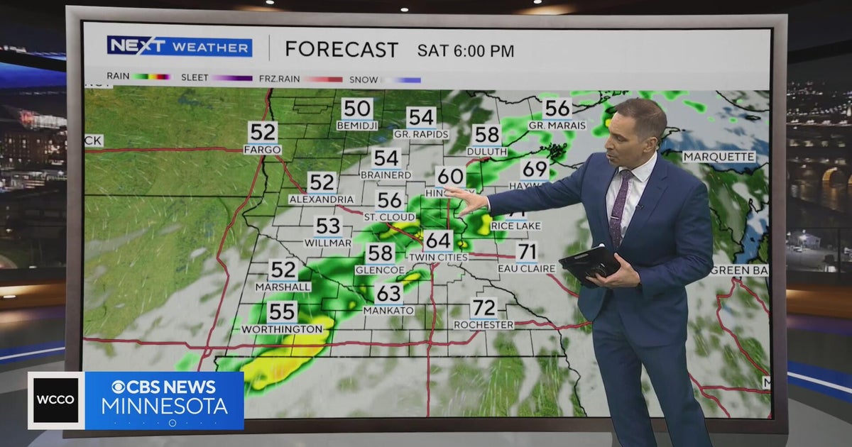 Minnesota weather to feature warm temps Saturday before cooldown | Oct. 23, 2026
CBS News Minnesota is a local news organization that is part of CBS News and Stations. Also referred to as WCCO-TV and channel 4, CBS News Minnesota offers local breaking news, weather coverage and investigative…
-
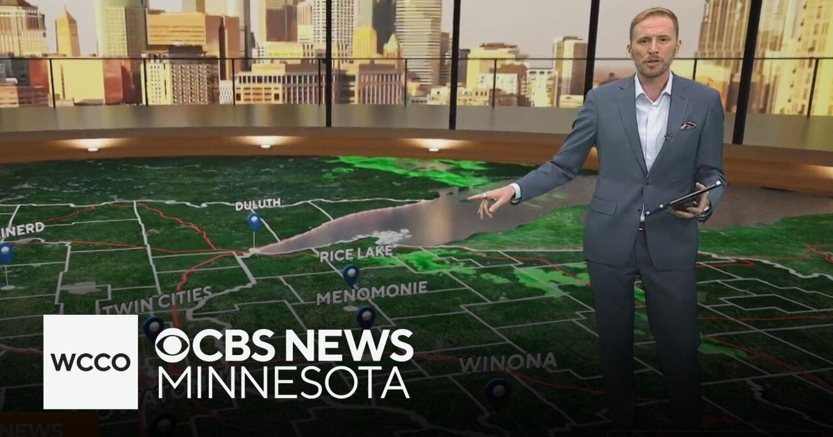 Another round of wind and showers Saturday in Minnesota | Oct. 24, 2026
CBS News Bay Area Morning Edition Weekend 6am WBZ This Morning 8am CBS News Chicago Saturday 8am CBS Colorado Mornings Weekend CBS News Los Angeles Weekend 6am CBS News Miami This Morning 9am WCCO News Saturday Morning…
-
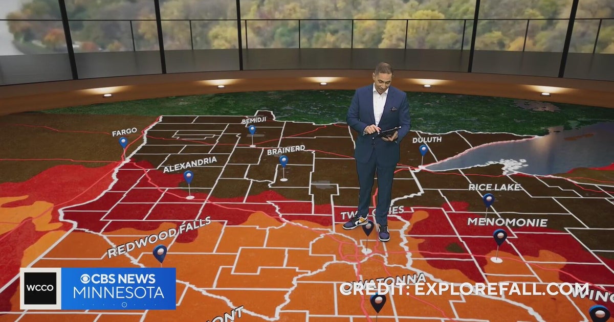 Minnesota weather: one last warm day, then a damp, cool change | Oct. 23, 2026
CBS News Minnesota is a local news organization that is part of CBS News and Stations. Also referred to as WCCO-TV and channel 4, CBS News Minnesota offers local breaking news, weather coverage and investigative…
-
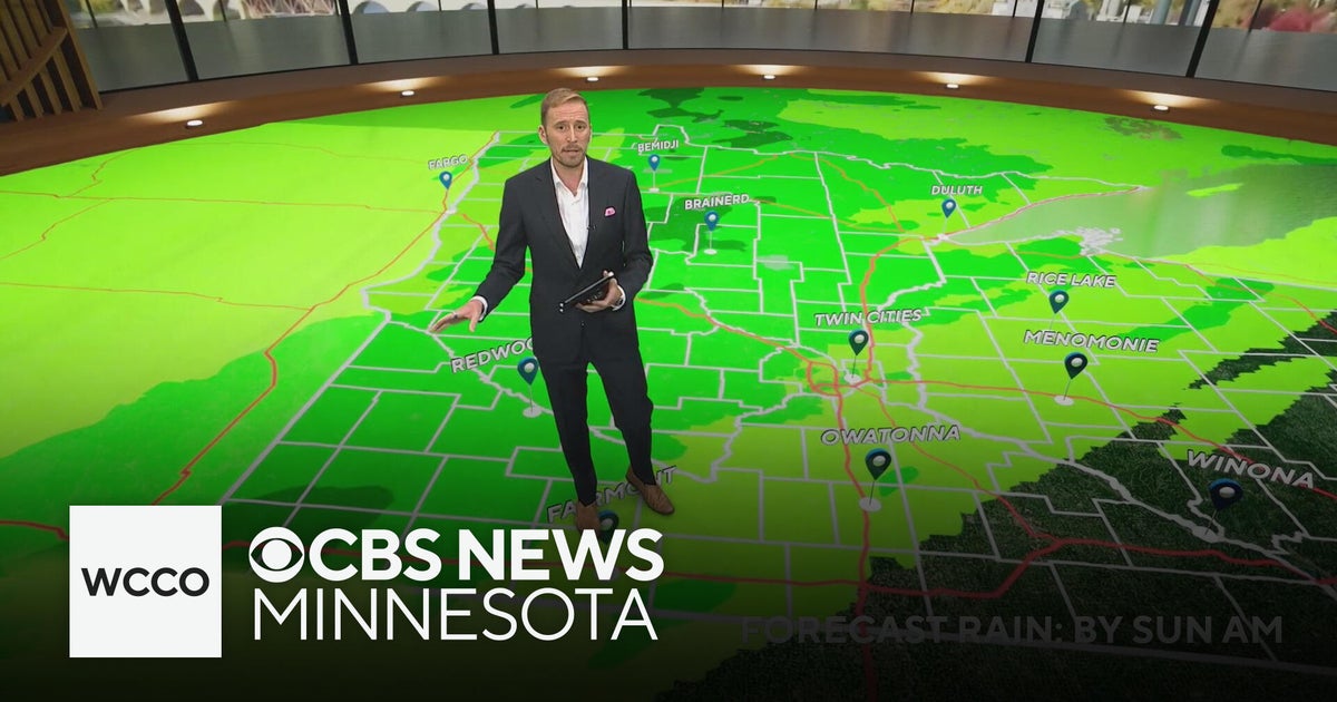 Minnesota's weather is about to pivot back to fall | Oct. 23, 2026
CBS News Minnesota is a local news organization that is part of CBS News and Stations. Also referred to as WCCO-TV and channel 4, CBS News Minnesota offers local breaking news, weather coverage and investigative…
-
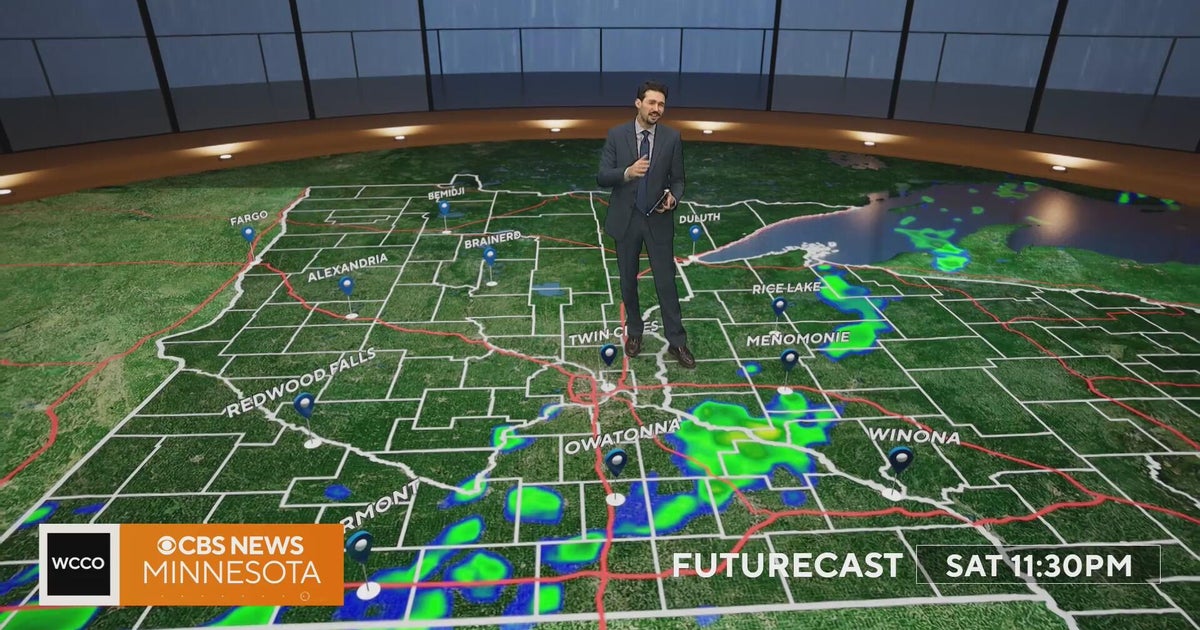 Minnesota weather turns cooler after a Saturday cold front brings light showers | Oct. 23, 2026
Rain chances improve Saturday afternoon and evening, with amounts under a tenth of an inch and gusts near 30 mph. Highs reach the 70s ahead of the front, then fall to the mid 50s Sunday, WCCO meteorologist Joseph Dames…
-
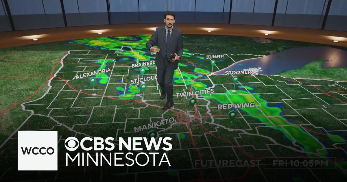 Last taste of mild fall weather in Minnesota | Oct. 23, 2026
CBS News Minnesota is a local news organization that is part of CBS News and Stations. Also referred to as WCCO-TV and channel 4, CBS News Minnesota offers local breaking news, weather coverage and investigative…
Air quality
Air quality is satisfactory, and air pollution poses little or no risk.
Forecast
- SatGood (33)
- SunGood
- MonGood
Red River Valley South, MN reporting area · 1 hr ago. Data from AirNow (EPA and its state, local and tribal partners); preliminary and subject to change.
Sun & moon
Nearby
- Fergus Falls 39 km
- Wahpeton 1 km
- Barnesville 45 km
- Pelican Rapids 52 km
Forecasters' discussion
From the National Weather Service office in FGF, issued 6 hrs ago
Key Messages
- Gusty winds to 50 mph in Devils Lake basin this morning. Wind Advisory in effect.
Discussion
Issued at 406 PM CDT Fri Oct 23 2026
...Synopsis...
Gusty southeast winds 30-40 mph within the Red River Valley will gradually decrease some after sunset. However, winds do stay elevated overnight, but not as strong as this afternoon. Temperatures also stay quite mild in the upper 50s into the 60s overnight, well above average for this time of year. This is a result of a deepening low pressure system in the northern High Plains.
This is also driving showers and thunderstorms this afternoon into evening. Showers and weak thunderstorms will continue to migrate north and northeast, with relatively highest chance for lightning activity in the northern Red River Valley into northwest MN. Very little rain amounts will result from this, with those that see thunderstorms seeing at most half an inch.
As the low pressure system deepens, it propagates into south- central Canada, bringing with it a sweeping cold front still expected to move west to east late overnight tonight into Saturday morning. Behind the front will be shifting and increasing winds out of the west. Confidence has increased enough to issue a Wind Advisory for winds sustained near 30 mph and gusts to 50 mph in the Devils Lake basin of northeast ND Saturday morning. Similarly strengthen winds may also bleed into the far western edge of the Red River Valley. Winds are forecast to gradually decrease starting early afternoon Saturday.
Temperatures for Saturday will follow a non-diurnal curve, with daily maximum temperatures likely to occur during predawn hours Saturday ahead of the front. With the front moving through Saturday morning, temperatures in the afternoon will be either steady or falling.
Aviation
Issued at 651 AM CDT Sat Oct 24 2026
Showers and even a few thunderstorms going up ahead of a cold front as it approaches the Red River Valley. Included VCSH at KGFK and KTVF and some VCTS for KFAR as thunderstorm cells develop south of that airport. Some MVFR ceilings as well at KGFK and KDVL although those will be in an out for the next few hours. The front will pass through during the next hour or two, with conditions becoming windy from the west with gusts to 30 kts for the rest of the morning. Most sites should be VFR by mid to late morning with showers drying out. The west winds will slowly diminish this afternoon, with gusts down to 20 kts and then going away completely around sunset.
Fgf Watches
ND...Wind Advisory until 1 PM CDT this afternoon for NDZ006-007-014- 015-024-026-054. MN...None.
Forecasts, observations and alerts in the United States come from the National Weather Service (NOAA); radar from NOAA's Multi-Radar Multi-Sensor system; satellite imagery from NASA's Global Imagery Browse Services (GIBS) and NOAA's GOES satellites; the map from the U.S. Geological Survey's National Map; air quality from AirNow (EPA and its partners); hurricane information from the National Hurricane Center; climate normals and records from NOAA's Regional Climate Centers (ACIS). Forecasts outside the United States and the UV index: MET Norway (CC BY 4.0); observations outside the U.S.: airport reports via NOAA's Aviation Weather Center. Place names: GeoNames (CC BY 4.0). Data are copied on a schedule and may lag the sources; for warnings that affect your safety, follow your local National Weather Service office and emergency officials. Weather news is drawn from the 4Conservative index and reflects what the press published. Terms of use.