Install
K. I. Sawyer Air Force Base, MI Weather
Current conditions
Forecast for this hour (no station report in the last two hours)
Forecast
10-day-
Sunday Night
Mostly cloudy, with a low around 35.
-
Monday
Mostly cloudy, with a high near 46.
-
Monday Night
Mostly cloudy, with a low around 30.
National Weather Service forecast updated 2 days ago.
Hourly
Hourly forecast- Now47°
- 9 PM44°
- 10 PM41°
- 11 PM40°
- Mon12 AM38°
- 1 AM38°
- 2 AM38°
- 3 AM37°
- 4 AM36°
- 5 AM36°
- 6 AM35°
- 7 AM35°
- 8 AM35°
- 9 AM38°
- 10 AM41°
- 11 AM44°
- 12 PM45°
- 1 PM46°
- 2 PM46°10%
- 3 PM46°10%
- 4 PM46°10%
- 5 PM45°10%
- 6 PM44°10%
- 7 PM42°10%
10-day forecast
Details- TonightOct 22Widespread Fog42°
- FriOct 23Widespread Fog then Partly Sunny47°68°
- SatOct 24Mostly Cloudy27%48°67°
- TodayOct 25Chance Rain Showers27%35°59°
- MonOct 26Mostly Cloudy14%30°46°
- TueOct 27Partly Sunny17%33°47°
- WedOct 28Slight Chance Rain Showers33%38°55°
- ThuOct 29Chance Rain Showers26%54°
- FriOct 30Partly cloudy31°43°
- SatOct 31Cloudy29°45°
Days after the National Weather Service's seven are MET Norway's outlook, a computer model with no forecaster's review.
Radar
Full mapWeather news in Michigan
More weather news-
 Severe weather possible Tuesday in Southeast Michigan. Here's the timing and what to look for.
Updated on: April 14, 2026 / 11:50 PM EDT / CBS Detroit A severe weather threat exists for Tuesday, and Southeast Michigan is squarely in the path. A potent weather system is dragging unseasonably warm, humid air into…
-
 Old Farmer’s Almanac predicts Thanksgiving weather in Michigan for 2026
The Old Farmer's Almanac released their 2026 Thanksgiving Day weather outlook. The Old Farmer’s Almanac, known for its long-range weather forecasts, has released its Thanksgiving weather outlook for 2026, and it’s…
-
 Early Halloween forecast points to mild, mostly dry weather for Michigan
With Halloween set to take place next weekend, initial forecast projections are beginning to be made for the region. While forecasts are generally inaccurate this far out, initial outlooks are showing a solid day for…
-
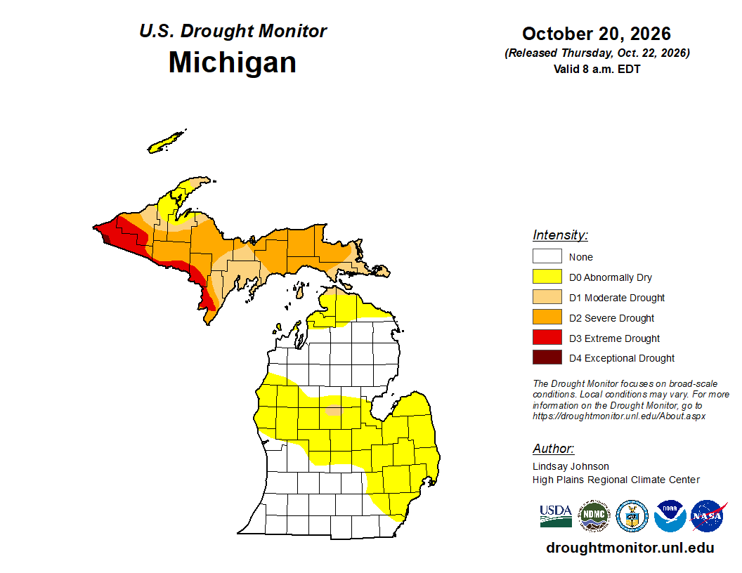 Mid-Michigan turns abnormally dry after a relatively dry October
Minor drought conditions are being observed in Mid-Michigan after a dry month. Minor drought conditions have been noted across the Mid-Michigan area as October has been notably dry. Currently, much of the Lower…
-
 Michigan's first snow: Average first snow dates by city for 2026
Most Michigan cities typically see their first snowfall between late October and mid-November. While cooler temperatures are expected to continue statewide, the question remains: When will the season’s first snowfall…
-
 Sunshine and Mild Temperatures Continue Across Southeast Michigan
ClickOnDetroit | WDIV Local 4 Trader Joe’s is expanding nationwide, including new Metro Detroit store Sunshine and Mild Temperatures Continue Across Southeast Michigan Oakland County Little League umpire shared child…
-
 How El Niño could impact the coming Michigan winter
The National Oceanic and Atmospheric Administration's seasonal weather outlook for winter 2026-27 is here, and it suggests the current El Niño could have a significant impact on Michigan. The NOAA predicts…
Sun & moon
Almanac
MonthlyMarquette County Area, records since 1961. Normals 1991–2020. Data from NOAA's Regional Climate Centers (ACIS).
Nearby
- Marquette 24 km
- Ishpeming 29 km
- Gladstone 60 km
- Negaunee 26 km
- West Ishpeming 31 km
- Munising 56 km
- Trowbridge Park 26 km
Forecasters' discussion
From the National Weather Service office in MQT, issued 5 hrs ago
Key Messages
- Light rain showers taper off this evening as a cold front drops south of the area.
- A period of cooler, more normal temperatures with highs in the 40s to low 50s is expected Monday and Tuesday, followed by a warm-up midweek week.
- More active weather begins Tuesday, with almost daily chances for light rain into next weekend.
Discussion
Issued at 159 PM EDT Sun Oct 25 2026
Afternoon water vapor and RAP analysis continue to feature deep midlevel troughing over the Four Corners, and ridging expanding out over the Canadian Prairie. An embedded shortwave Closer to home, spotty rain showers continue across the eastern half of the UP with a cold front directed from near Wausau to the Soo. However, some light radar returns continue to drift over the central and western UP, though dewpoint depressions on the order of 10-15 degrees so far is limiting the potential for much of anything to reach the ground. Under cloudy skies, temperatures are coming in a couple degrees cooler than expected across the western UP; temperatures there may only peak in the lower to mid 50s this afternoon. To the east, temperatures are quickly falling back into the 50s and even upper 40s behind the front after having climbed as high as the upper 50s and even lower 60s earlier today.
As we head into the evening hours and the front drops to our south, rain showers largely wrap up, though some spotty activity is not out of the question closer to the WI border through tonight. Temperatures fall back into the mid to upper 30s under cloudy skies, though some of the typically cooler spots in the north-central UP may fall a couple degrees further into the lower 30s.
Ridging begins to recover Monday as the Canadian high becomes centered over Ontario. At the same time, however, the Four Corners trough lifts northward into the Northern Plains by Monday evening, supporting a weak low to the west which may graze the western UP with some rain showers Monday night through Tuesday afternoon. This shortwave lifts north into Ontario Tuesday night, but low-end PoPs continue throughout the day Wednesday as another surface low moves through Manitoba and into Ontario. This drags a cold front through the UP Wednesday night, kicking off better chances for showers. Guidance quickly begins to struggle after Thursday as flow turns more zonal and leaves us sensitive to any shortwave action, but a more active period is anticipated to continue into early November captured by the CPC's 6-10 precipitation outlook of slightly above normal precip. At this time, ensembles don't suggest any widespread meaningful rain across the area with 24hr prob of QPF >0.1" only reaching 60% on any given day. Additionally, above normal temperatures dominate through the rest of the month into early November with seemingly no end in sight. All global ensembles highlight strong positive 850mb temp anomalies even into their extended 200+ hour range.
Aviation
Issued at 214 PM EDT Sun Oct 25 2026
Scattered showers in association with a cold front have become mainly confined to the eastern half of the U.P. this afternoon. Therefore, will not carry any rain mention in TAFs. Currently, VFR conditions are prevailing at all TAF sites and are expected to for the duration of the TAF period. Meanwhile, WNW winds remain impactful at CMX with gusts still up to 25 kts through this evening. Elsewhere, sustained speeds are in the 4 to 8 kt range.
Marine
Issued at 159 PM EDT Sun Oct 25 2026
Lake Superior: Winds are shifting westerly behind a cold front, gusting to around 15-20kts across most of the lake and up to 25kts along the Keweenaw. These westerlies persist through the evening before turning northerly tonight as high pressure builds into the area. 15-25kt gusts persist into early Monday morning, highest over the east-central waters, before falling back below 20 kts by the afternoon. A period of gustier E to S winds returns Tuesday-Thursday as a pair of surface lows lift west of Lake Superior. The latest and greatest NBM suggests a 40-70% chance for gales to 35 kts through this period, though given the southerly wind direction there remains some questions on how warm air advection may contribute to over-lake stability and max gust potential. Winds fall back below 20kts Friday.
Northern Lake Michigan and northern Bay of Green Bay: Light winds mainly 15kts or less persist into early next week, turning northerly Monday and then southeast Tuesday. Winds begin to increase Tuesday night, with gusts of 20-25 kts through Wednesday, settling below 20 kts out of the west into Thursday.
Forecasts, observations and alerts in the United States come from the National Weather Service (NOAA); radar from NOAA's Multi-Radar Multi-Sensor system; satellite imagery from NASA's Global Imagery Browse Services (GIBS) and NOAA's GOES satellites; the map from the U.S. Geological Survey's National Map; air quality from AirNow (EPA and its partners); hurricane information from the National Hurricane Center; climate normals and records from NOAA's Regional Climate Centers (ACIS). Forecasts outside the United States and the UV index: MET Norway (CC BY 4.0); observations outside the U.S.: airport reports via NOAA's Aviation Weather Center. Place names: GeoNames (CC BY 4.0). Data are copied on a schedule and may lag the sources; for warnings that affect your safety, follow your local National Weather Service office and emergency officials. Weather news is drawn from the 4Conservative index and reflects what the press published. Terms of use. How to use Weather