Install
Orono, ME Weather
Current conditions
Observed at Bangor, Bangor International Airport · 33 min ago
Forecast
10-day-
Today
Sunny, with a high near 56. Northeast wind 3 to 7 mph.
-
Tonight
Patchy fog after 3am. Mostly cloudy, with a low around 35. North wind around 5 mph.
-
Thursday
Patchy fog before 8am. Partly sunny, with a high near 56. North wind 5 to 17 mph, with gusts as high as 30 mph.
National Weather Service forecast updated 8 hrs ago.
Hourly
Hourly forecast- Now55°
- 3 PM55°
- 4 PM55°
- 5 PM53°
- 6 PM48°
- 7 PM45°
- 8 PM42°
- 9 PM40°
- 10 PM38°
- 11 PM38°
- Thu12 AM37°
- 1 AM36°
- 2 AM37°
- 3 AM36°
- 4 AM36°
- 5 AM36°
- 6 AM35°
- 7 AM35°
- 8 AM37°
- 9 AM41°
- 10 AM45°
- 11 AM48°
- 12 PM51°
- 1 PM54°
10-day forecast
Details- TodayOct 21Sunny35°56°
- ThuOct 22Patchy Fog then Partly Sunny33°56°
- FriOct 23Sunny26°50°
- SatOct 24Sunny30°55°
- SunOct 25Sunny36°61°
- MonOct 26Mostly Sunny36°62°
- TueOct 27Mostly Sunny11%29°51°
- WedOct 28Cloudy28°48°
- ThuOct 29Mostly sunny38°57°
- FriOct 30Rain0.14 in52°63°
Days after the National Weather Service's seven are MET Norway's outlook, a computer model with no forecaster's review.
Radar
Full mapWeather news in Maine
More weather news-
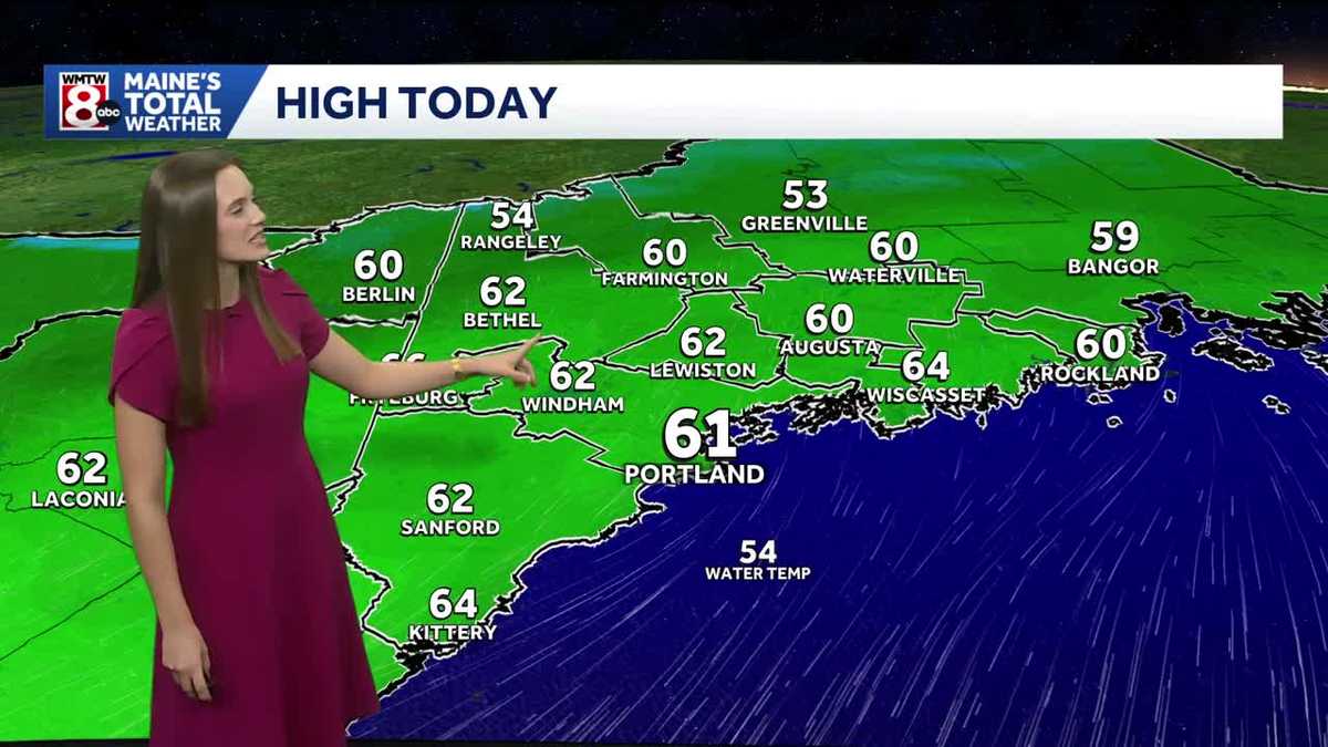 Dry weather ahead for Maine
WMTW Dry weather ahead for Maine How’s the weather looking for your Tuesday? Get your latest Maine’s Total Weather video forecast from Meteorologist Ann Badowsky. WATCH: Sheriff's deputy jumps into neck-deep pond to…
-
 Seasonable, sunny stretch continues this week in Maine
Join the CBS13 I-Team on Wednesday in Lewiston for our Contractor Concerns Community Forum from 10 a.m. to 4 p.m. PORTLAND (WGME) -- A cold start this morning in the 30s will want you grabbing your jacket when heading…
- New England Could Face Another Fall Nor’easter – Maine, New Hampshire, & Massachusetts Take Note
Even though we normally think of Nor'easters as being a winter weather event, they can happen at any time during the year. In fact, we have already had a Nor'easter this year. It rolled through New England in September…
-
 A look back at Maine's most extreme Octobers
Join the CBS13 I-Team on Wednesday in Lewiston for our Contractor Concerns Community Forum from 10 a.m. to 4 p.m. PORTLAND (WGME) -- In the heart of fall, cooler temperatures settle across Maine, bringing the first hard…
-
 Aurora forecast: Solar wind could spark northern lights in Maine and other U.S. states on October 19-20
Residents of many of the northern U.S. states, from Washington to Maine, could get a chance to see auroras around midnight. Aurora forecast: Solar wind could spark northern lights in Maine and other U.S. states on…
-
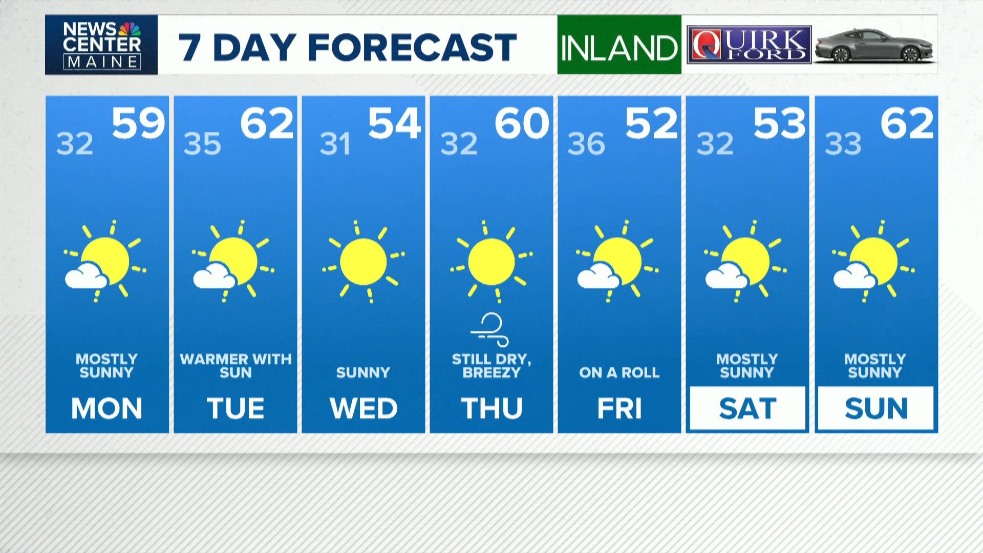 NEWS CENTER Maine Weather Video Forecast
newscentermaine.com NEWS CENTER Maine Weather Video Forecast To stream NCM on your phone, you need the NCM app. Download the NCM app Next up in 5 Example video title will go here for this video Before You Leave, Check…
-
 Despite recent rain, drought has reached all areas of Maine
Conditions already affecting the fall harvest for farmers The latest precipitation across the state still was not enough to alleviate Maine’s statewide drought, according to the Maine Drought Task Force. The task force…
- ‘Steady’ Snow Falls as Northern Maine Braces for ‘Cold and Windy’ Weekend
News.com.au One Aussie state has made the decision to relax chicken farm lockdown rules ahead of hot weather, despite the ongoing threat of bird flu. Doctors pleaded with authorities not to return Elizabeth Struhs home…
-
 Look up! Celestial events to watch in Maine this October
by Meteorologist Hannah Sheehy, WGME We are halfway through October, and there are still plenty of celestial events to look forward to this month that you won't want to miss. First up is the Orionid meteor shower, which…
-
 Morning Update: What you need to know in Maine today
You managed to make it to another Friday. Temperatures will range from the high 40s up north to the low 60s down south. We’ve got a storm moving into the state, bringing rain showers later this morning and winds gusting…
Air quality
Air quality is satisfactory, and air pollution poses little or no risk.
Forecast
- WedGood
- ThuGood
- FriGood
Eastern Interior, ME reporting area · 1 hr ago. Data from AirNow (EPA and its state, local and tribal partners); preliminary and subject to change.
Sun & moon
Almanac
MonthlyBangor Area, records since 1925. Normals 1991–2020. Data from NOAA's Regional Climate Centers (ACIS).
Nearby
Forecasters' discussion
From the National Weather Service office in CAR, issued 58 min ago
What Has Changed
- Issued a gale warning Thursday evening to early afternoon Friday for all but the intracoastal waters. - Increased confidence in dry weather persisting through the weekend.
Key Messages
1) Dry weather through this weekend.
Discussion
KEY MESSAGE 1...Dry weather through this weekend.
KEY MESSAGE 1 DESCRIPTION... Very quiet weather persists through the weekend. There is a strong low pressure system off the Mid-Atlantic that will track northeast through Thursday night, but it will pass well to our southeast and not bring any precipitation to our area except perhaps over our outer waters. We will also have a cold front moving through from north to south late tonight into Thursday, but there will not be any precipitation with the front, and just some increased cloudcover. The main change we will see is increased winds during the day Thursday, Thursday night, and into Friday. Gusts up to about 30 mph from the north are expected during the day Thursday and Friday, which will not be enough for any impacts to trees and power, though additional leaf loss is expected. As high pressure builds in Friday night, temperatures will dip into the 20s areawide, with even a few teens possible in the colder valleys in north/northwest areas. Extremely quiet weather for the weekend, with a warming trend into Sunday. The next small chance of rain comes Monday, but it is not looking impressive, as it looks like another moisture- starved cold front moving in from the north.
Aviation
Rest of Today...VFR. Light winds.
Tonight...VFR, though cannot rule out patchy valley fog at PQI and HUL. Light winds.
Thursday-Friday: Mostly VFR, except a 60 percent chance of intermittent MVFR ceilings mainly at FVE from 13-18z Thursday. N winds 10 to 20 kts with gusts up to 30 kts. LLWS possible Thursday night.
Friday night-Sunday night: VFR. Light and variable winds.
Monday...VFR/MVFR. SW wind around 10 kts becoming N late, with higher gusts possible.
Forecasts, observations and alerts in the United States come from the National Weather Service (NOAA); radar from NOAA's Multi-Radar Multi-Sensor system; satellite imagery from NASA's Global Imagery Browse Services (GIBS) and NOAA's GOES satellites; the map from the U.S. Geological Survey's National Map; air quality from AirNow (EPA and its partners); hurricane information from the National Hurricane Center; climate normals and records from NOAA's Regional Climate Centers (ACIS). Forecasts outside the United States and the UV index: MET Norway (CC BY 4.0); observations outside the U.S.: airport reports via NOAA's Aviation Weather Center. Place names: GeoNames (CC BY 4.0). Data are copied on a schedule and may lag the sources; for warnings that affect your safety, follow your local National Weather Service office and emergency officials. Weather news is drawn from the 4Conservative index and reflects what the press published. Terms of use.