Install
Oxon Hill-Glassmanor, MD Weather
Current conditions
Observed at Washington/Reagan National Airport, DC · 37 min ago
Forecast
10-day-
Monday Night
Mostly clear, with a low around 49.
-
Tuesday
Sunny, with a high near 68.
-
Tuesday Night
Mostly clear, with a low around 47.
National Weather Service forecast updated 2 days ago.
Hourly
Hourly forecast- Now66°
- 7 PM63°
- 8 PM59°
- 9 PM56°
- 10 PM54°
- 11 PM52°
- Tue12 AM51°
- 1 AM50°
- 2 AM50°
- 3 AM50°
- 4 AM50°
- 5 AM50°
- 6 AM50°
- 7 AM49°
- 8 AM50°
- 9 AM54°
- 10 AM58°
- 11 AM62°
- 12 PM65°
- 1 PM66°
- 2 PM67°
- 3 PM68°
- 4 PM68°
- 5 PM67°
10-day forecast
Details- SatOct 24Mostly Sunny41°63°
- SunOct 25Sunny42°66°
- TodayOct 26Sunny49°70°
- TueOct 27Sunny47°68°
- WedOct 28Mostly Sunny49°66°
- ThuOct 29Mostly Sunny50°71°
- FriOct 30Sunny52°74°
- SatOct 31Cloudy50°75°
- SunNov 1Cloudy54°73°
- MonNov 2Cloudy0.04 in59°78°
Days after the National Weather Service's seven are MET Norway's outlook, a computer model with no forecaster's review.
Radar
Full mapWeather news in Maryland
More weather news-
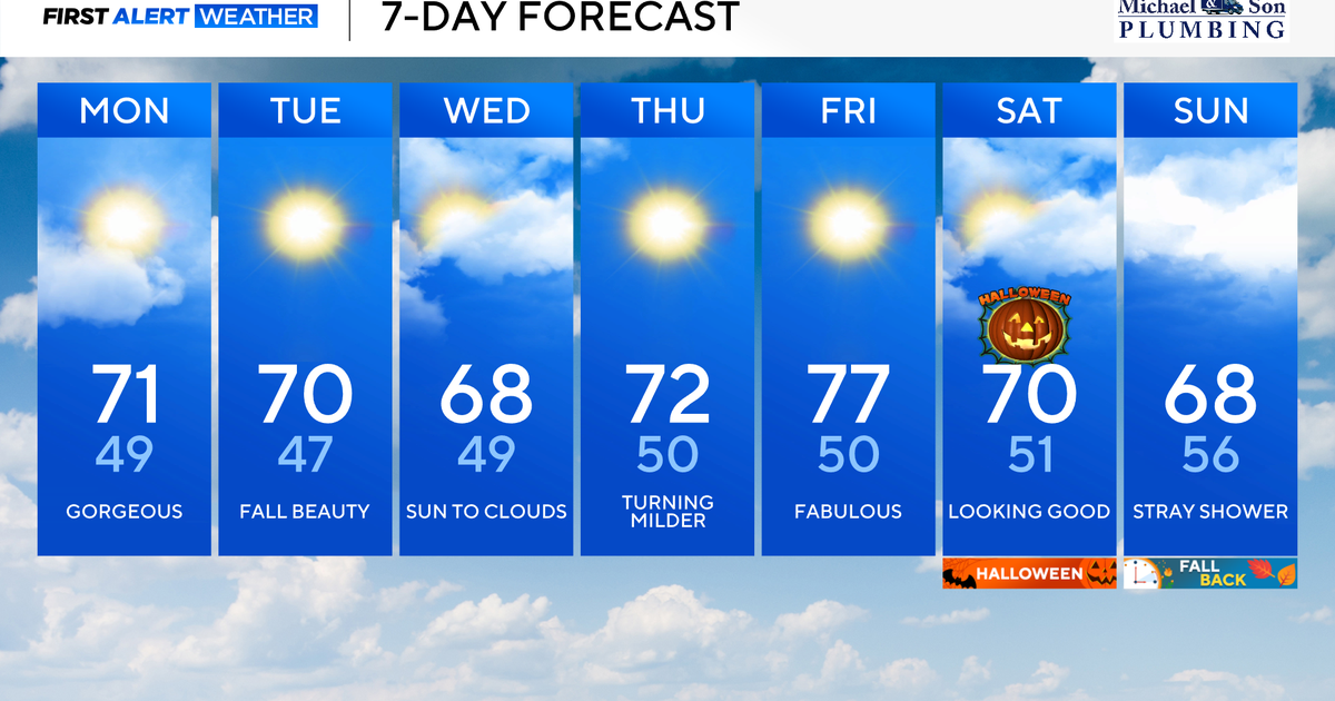 Another stunning week of fall weather coming to Maryland
Updated on: October 26, 2026 / 8:35 AM EDT / CBS Baltimore Get ready for another awesome week of nice fall weather across the state of Maryland. The nice and dry weather should continue into Halloween on Saturday. A…
-
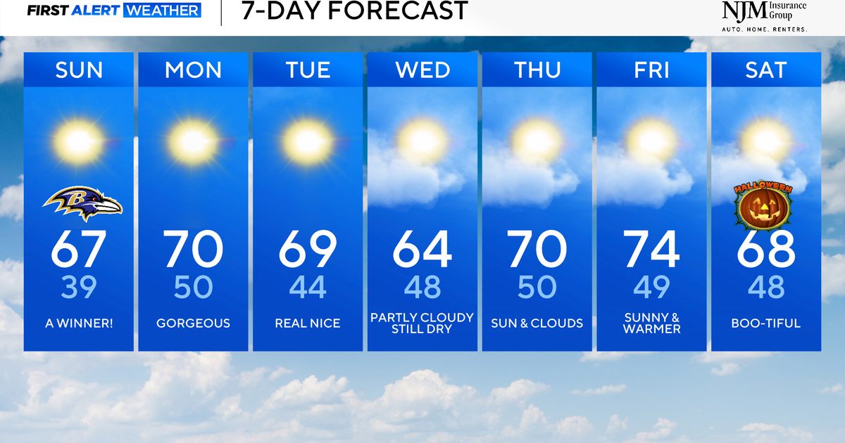 Sunny and pleasant fall weather ahead for Maryland
CBS News Baltimore is a local news organization that is part of CBS News and Stations. Also referred to as WJZ-TV and channel 13, CBS News Baltimore offers local breaking news, weather coverage and investigative…
-
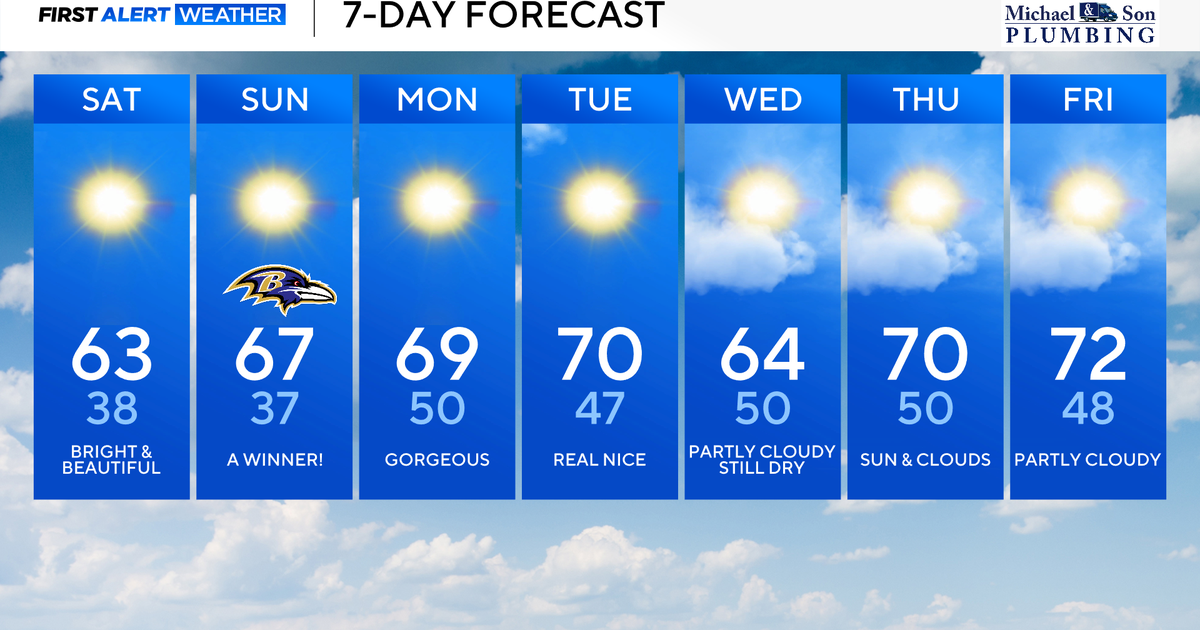 Perfect Fall weather across Maryland this weekend
October 24, 2026 / 9:12 AM EDT / CBS Baltimore The first full dry weekend of October will bring plenty of sunshine and comfortable daytime temperatures in the 60's through the weekend. After frosty mornings through the…
-
 Cyclone Arnab set to hit Andhra, 4 states put on alert; landslide warning issued, schools to remain closed
Updated : Oct 26, 2026, 07:07 PM IST The cyclone is expected to bring heavy to very heavy rainfall, strong winds and possible landslides across several districts of Odisha. The IMD has forecast widespread rainfall…
-
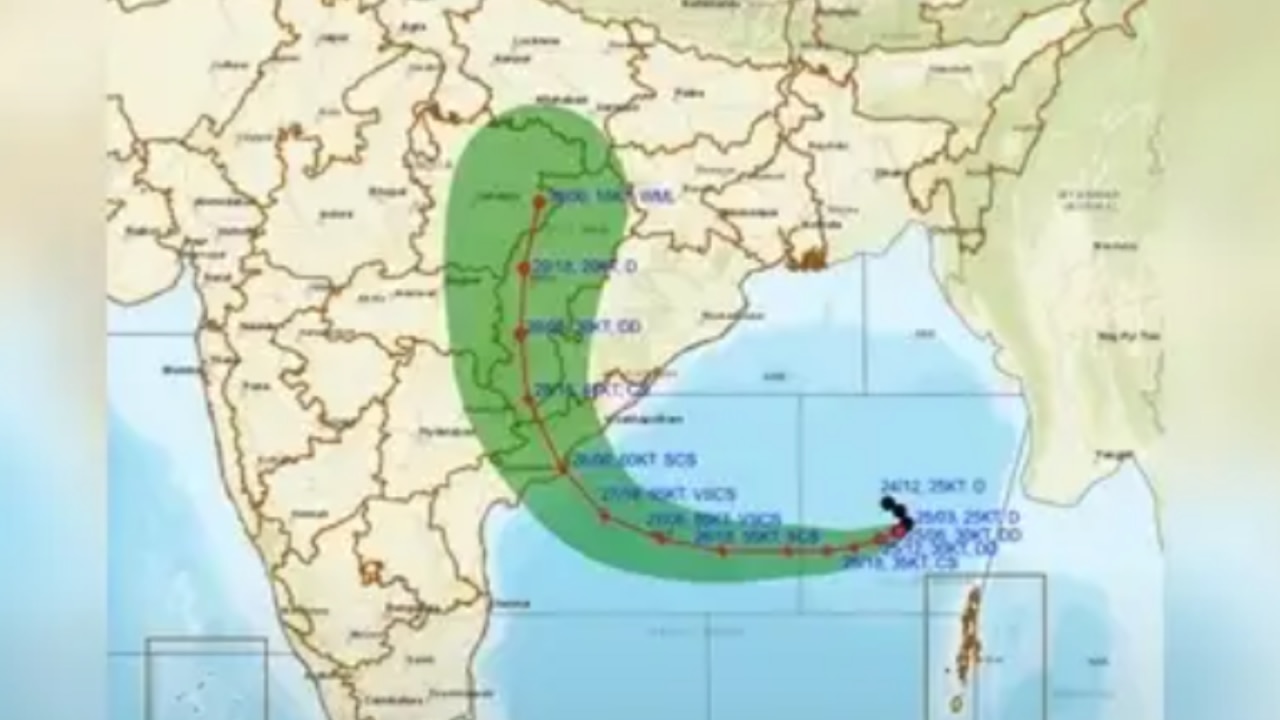 Cyclone Arnab nears Andhra coast, IMD issues alert for Odisha, Kerala; details inside
Cyclone Arnab is expected to hit Andhra Pradesh on October 28 with winds up to 140 kmph. Check IMD red alerts for Odisha, Kerala and Tamil Nadu's rain forecast. Updated : Oct 26, 2026, 10:00 AM IST The India…
-
 Cyclone Arnab: When will it hit Andhra Pradesh, which states are on alert and how severe will it be?
The weather system developing over the Bay of Bengal is forecast to intensify into a severe cyclonic storm, with Andhra Pradesh facing a possible landfall on October 28. Odisha, Tamil Nadu and Puducherry are also…
-
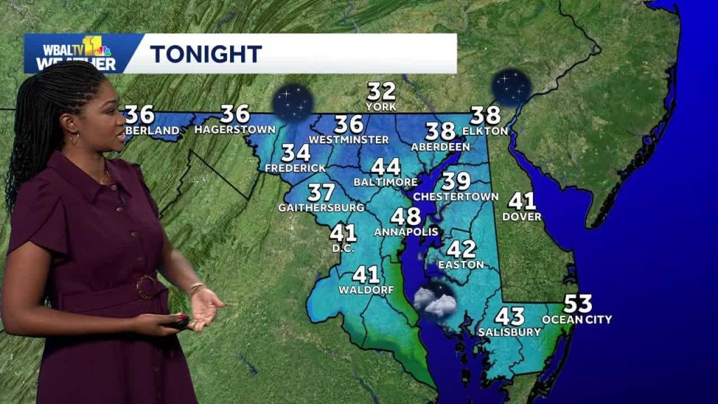 Weather: A dry weekend with chilly mornings are on the way in Maryland
Meteorologist Dalencia Jenkins says a dry weekend with chilly mornings are on the way in Maryland Weather: A dry weekend with chilly mornings are on the way in Maryland Meteorologist Dalencia Jenkins says a dry weekend…
-
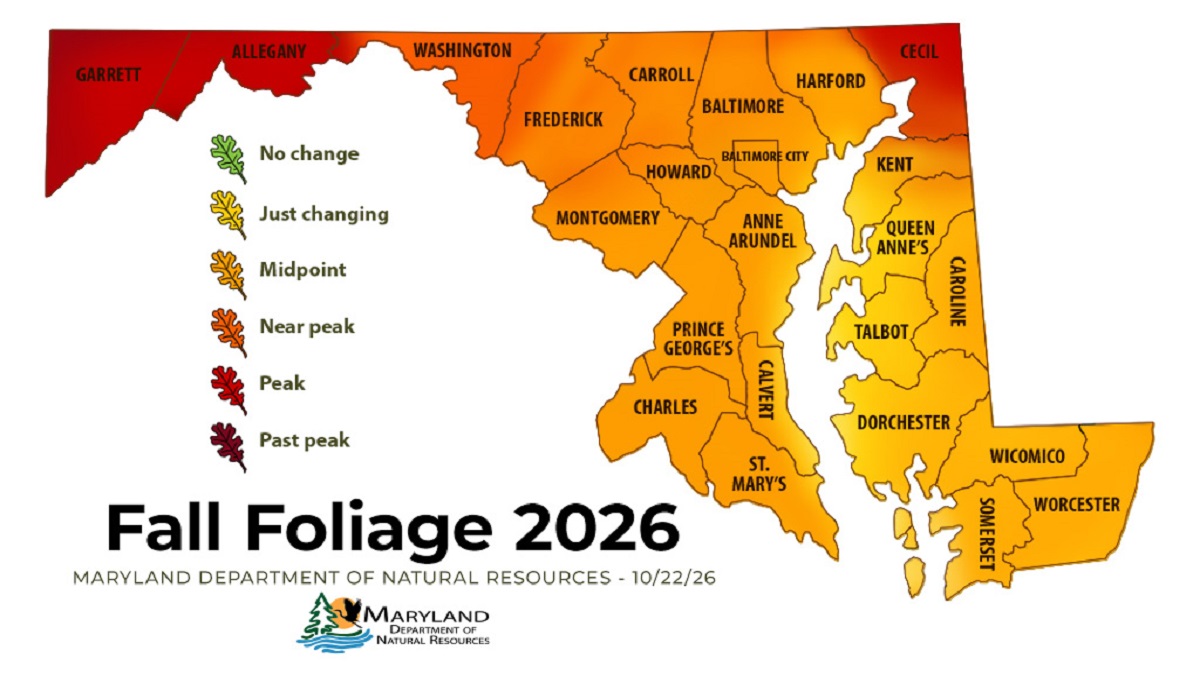 Western Maryland Peaks as Central Maryland Nears Full Color
ANNAPOLIS — Fall color has reached its peak in Maryland’s westernmost mountains and is closing in on central Maryland, according to the state’s latest foliage report. The Maryland Department of Natural Resources’ Oct…
-
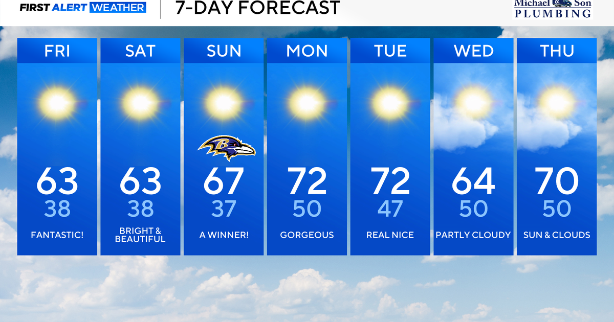 Maryland to enjoy nicest fall weekend weather of season yet
Updated on: October 23, 2026 / 8:46 AM EDT / CBS Baltimore A strong area of high pressure will protect our weather through the weekend and beyond. This type of weather pattern delivers us plenty of sunshine, seasonably…
-
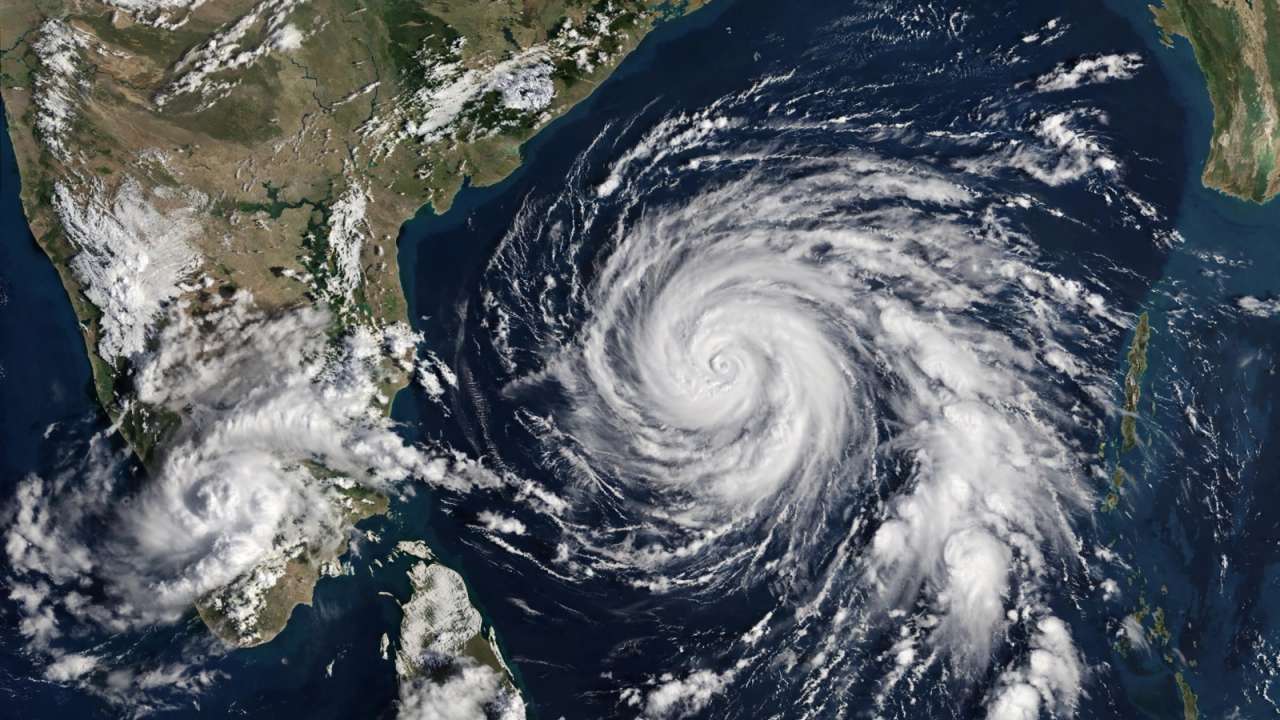 IMD forecasts cyclone over Bay of Bengal, warns of heavy rain across southern India
A possible cyclone over the Bay of Bengal has put several coastal states on alert, with Tamil Nadu expected to witness heavy rainfall in the coming days first. Updated : Oct 24, 2026, 10:06 PM IST The India…
Air quality
Air quality is satisfactory, and air pollution poses little or no risk.
Forecast
- MonGood (50)
- TueModerate (53)
- WedModerate (53)
Northern Virginia and DC, DC reporting area · 1 hr ago. Data from AirNow (EPA and its state, local and tribal partners); preliminary and subject to change.
Sun & moon
Almanac
MonthlyWashington Area, records since 1871. Normals 1991–2020. Data from NOAA's Regional Climate Centers (ACIS).
Nearby
- Washington 12 km
- Arlington 15 km
- Alexandria 6 km
- Columbia 51 km
- Germantown 49 km
- Silver Spring 22 km
- Centreville 40 km
- Waldorf 19 km
- Glen Burnie 51 km
- Gaithersburg 43 km
- Rockville 36 km
- Dale City 34 km
Forecasters' discussion
From the National Weather Service office in LWX, issued 3 hrs ago
What Has Changed
Increased cloud cover a bit this evening as some guidance indicates a period of standing wave cirrus along the Allegheny Front. The next rain potential early next week remains uncertain. Otherwise little has changed to the forecast this week.
Key Messages
- 1) Dry through the end of October.
- 2) Precipitation chances return in early November.
Discussion
KEY MESSAGE 1...Dry through the end of October.
Large scale ridging persists aloft through the end of the week. This results in dry weather and above normal temperatures through the end of October. These mild conditions will prevent any further frost/freeze threats through the end of the week.
At the surface, high pressure settles over the Tennessee Valley tonight while a weakening front approaches from the north, tied to low pressure over the Canadian Maritimes. Without much forcing or moisture, no precipitation is expected, only an increase in high clouds and a wind shift to the north and northeast. The front will stall and further weaken over the area Tuesday, so there won't be much of a drop in temperatures compared to today. Wednesday may be a few degrees cooler with extra cloud cover from a combination of warm advection aloft and onshore flow at the surface.
Strong surface high pressure will build southward along the Mid Atlantic coast in the wake of the weak front. As winds turn southerly Thursday and skies clear, temperatures will rise notably above normal. That trend will likely continue Friday when highs in the mid to upper 70s are possible.
KEY MESSAGE 2...Precipitation chances return in early November.
Upper-level ridging overhead breaks down into zonal flow beginning Friday and into Saturday. Conditions likely start to become cloudier throughout the day Saturday as troughing develops over the Ohio River Valley before heading east Sunday into Monday. This likely brings the first chances for precipitation over the Mid- Atlantic in over a week, although overall breadth and total rainfall from this system remain uncertain at this time.
Aviation
VFR conditions are expected to prevail through Tuesday. Wind direction has been highly variable today but should settle on a west-northwest direction before shifting northerly late tonight as a dry front pushes through. Fog looks to be less likely tonight due to milder temperatures and some mixing along the front.
Winds will become onshore Tuesday night through Wednesday night. While there isn't a clear signal yet, some low clouds or fog are possible, especially at CHO and MRB. Light southerly winds and VFR conditions are expected Thursday as high pressure builds along the coast.
Prevailing VFR conditions are anticipated Friday through Saturday. The next chance for rain showers occurs Sunday with an incoming cold front, but uncertainty remains high at this time. Westerly winds Friday shift easterly Saturday.
Forecasts, observations and alerts in the United States come from the National Weather Service (NOAA); radar from NOAA's Multi-Radar Multi-Sensor system; satellite imagery from NASA's Global Imagery Browse Services (GIBS) and NOAA's GOES satellites; the map from the U.S. Geological Survey's National Map; air quality from AirNow (EPA and its partners); hurricane information from the National Hurricane Center; climate normals and records from NOAA's Regional Climate Centers (ACIS). Forecasts outside the United States and the UV index: MET Norway (CC BY 4.0); observations outside the U.S.: airport reports via NOAA's Aviation Weather Center. Place names: GeoNames (CC BY 4.0). Data are copied on a schedule and may lag the sources; for warnings that affect your safety, follow your local National Weather Service office and emergency officials. Weather news is drawn from the 4Conservative index and reflects what the press published. Terms of use. How to use Weather