Install
Maryland City, MD Weather
Current conditions
Observed at Baltimore, Baltimore-Washington International Airport · 23 min ago
Forecast
10-day-
Sunday Night
Mostly clear, with a low around 43.
-
Monday
Mostly sunny, with a high near 70.
-
Monday Night
Partly cloudy, with a low around 50.
National Weather Service forecast updated 5 days ago.
Hourly
Hourly forecast- Now46°
- 5 AM45°
- 6 AM44°
- 7 AM43°
- 8 AM44°
- 9 AM47°
- 10 AM52°
- 11 AM57°
- 12 PM61°
- 1 PM64°
- 2 PM66°
- 3 PM68°
- 4 PM68°
- 5 PM68°
- 6 PM67°
- 7 PM64°
10-day forecast
Details- TueOct 20Sunny47°70°
- WedOct 21Sunny44°65°
- ThuOct 22Sunny45°67°
- FriOct 23Sunny41°60°
- SatOct 24Sunny43°60°
- SunOct 25Sunny43°65°
- TodayOct 26Mostly Sunny50°70°
- TueOct 27Cloudy47°67°
- WedOct 28Cloudy43°59°
- ThuOct 29Mostly sunny53°69°
Days after the National Weather Service's seven are MET Norway's outlook, a computer model with no forecaster's review.
Radar
Full mapWeather news near Maryland City
More weather news-
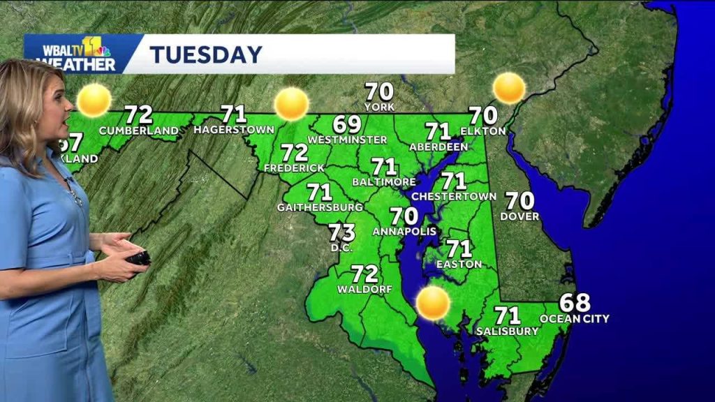 Chilly morning turns into a mild Tuesday in Baltimore
We’re in for a beautiful week in the Baltimore are while a coastal storm stays just offshore. The storm will cause some big waves and strong winds at the beach. It will be another chilly morning, though not quite as…
-
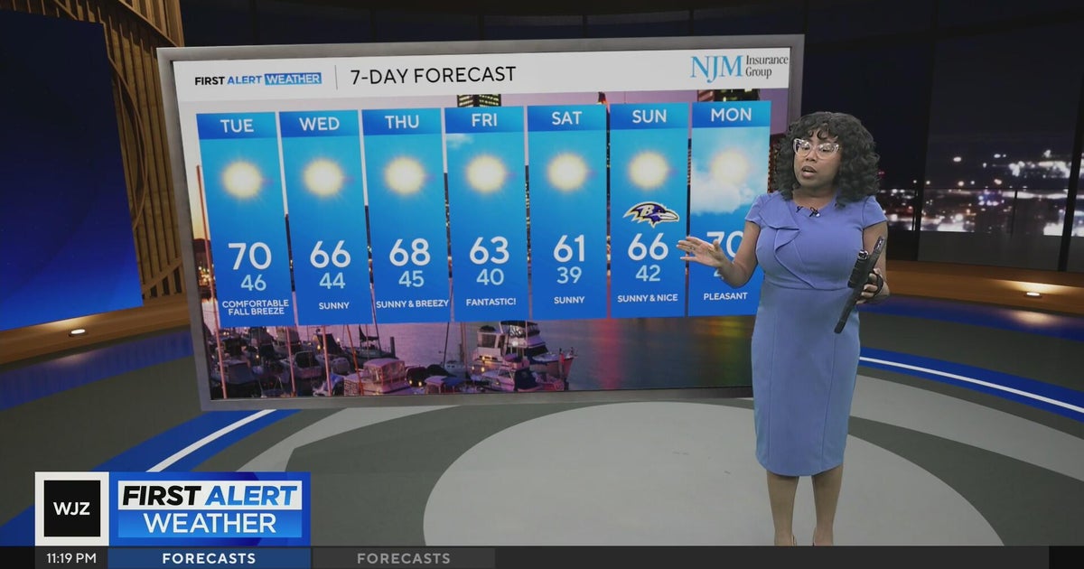 Cool, nice, breezy weather continues in Maryland
CBS News Cool, nice, breezy weather continues in Maryland 1 killed in triple shooting near NW Baltimore gas station Ravens will try to bounce back after disappointing loss in Cleveland | Purple Connection Baltimore…
-
 Baltimore weather: Sunny skies, high near 71 expected Tuesday
Maryland is expected to see sunny skies Tuesday, with temperatures reaching the low 70s before cooler weather settles in for the rest of the week. Tuesday will be sunny with a high near 71 degrees. North winds will…
-
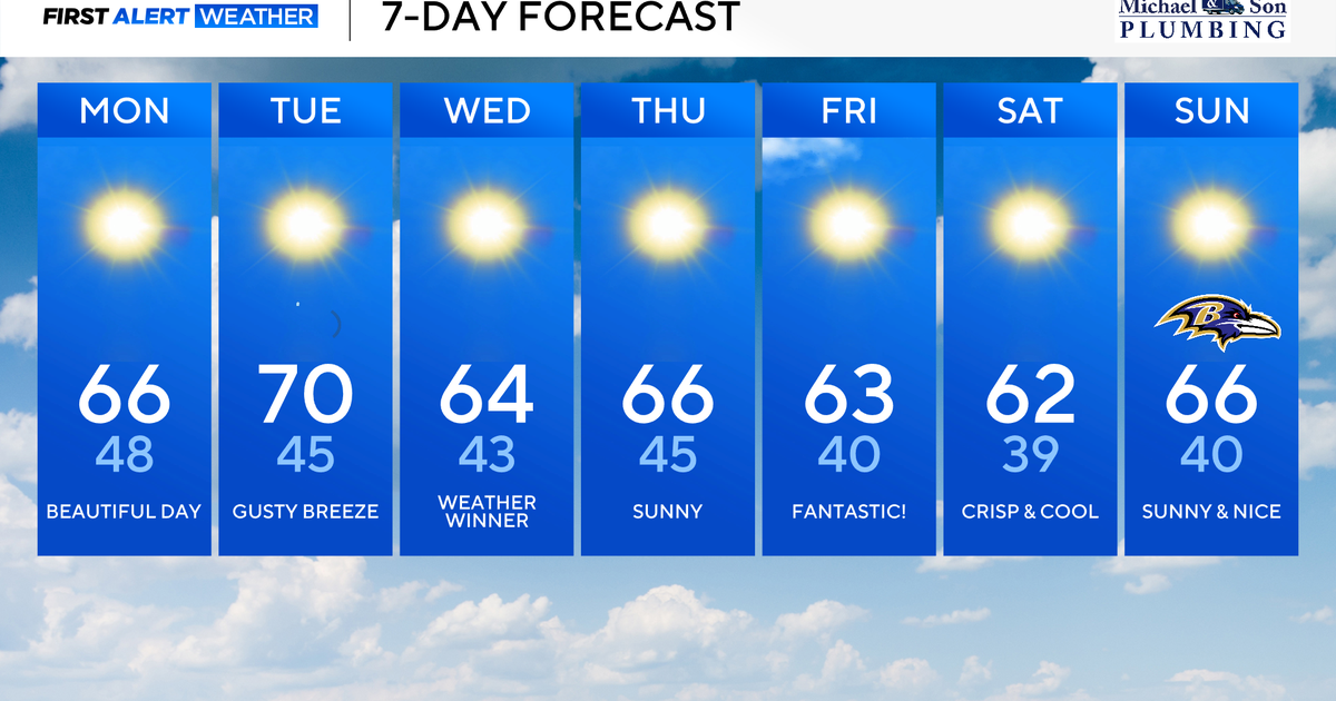 Classic fall weather and feel across Maryland this week
Updated on: October 19, 2026 / 8:36 AM EDT / CBS Baltimore A powerful offshore storm to our east and high pressure nearby will allow for a beautiful fall week ahead. This dry stretch of weather will be rather impressive…
-
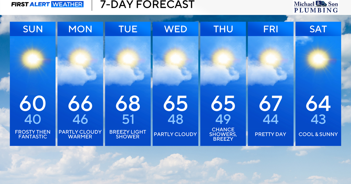 Surplus sunshine across Maryland to end the weekend
CBS News Baltimore is a local news organization that is part of CBS News and Stations. Also referred to as WJZ-TV and channel 13, CBS News Baltimore offers local breaking news, weather coverage and investigative…
- Baltimore Basks in Sunny Sunday Warm-Up After October Chill
Baltimore is waking up to a crisp, clear Sunday, with temperatures near 41 degrees early and sunshine building toward a high around 62. North winds near 7 mph will keep the morning feeling brisk, but the afternoon…
- Baltimore Weather Forecast: Showers, Gusty Winds And Sunny Sunday
Baltimore's weather whiplash continues Saturday, with early rain showers giving way to a cold, windy afternoon and a high near 56. The rain should clear out quickly, but the chilly air is sticking around through the…
-
 Thanksgiving Weather Forecast 2026: What to Expect Across the U.S.
Thanksgiving is a time for family, food, gratitude—and for many Americans, travel. Whether you’re driving across town or flying across the country, the weather can shape your plans in a big way. So what does the…
-
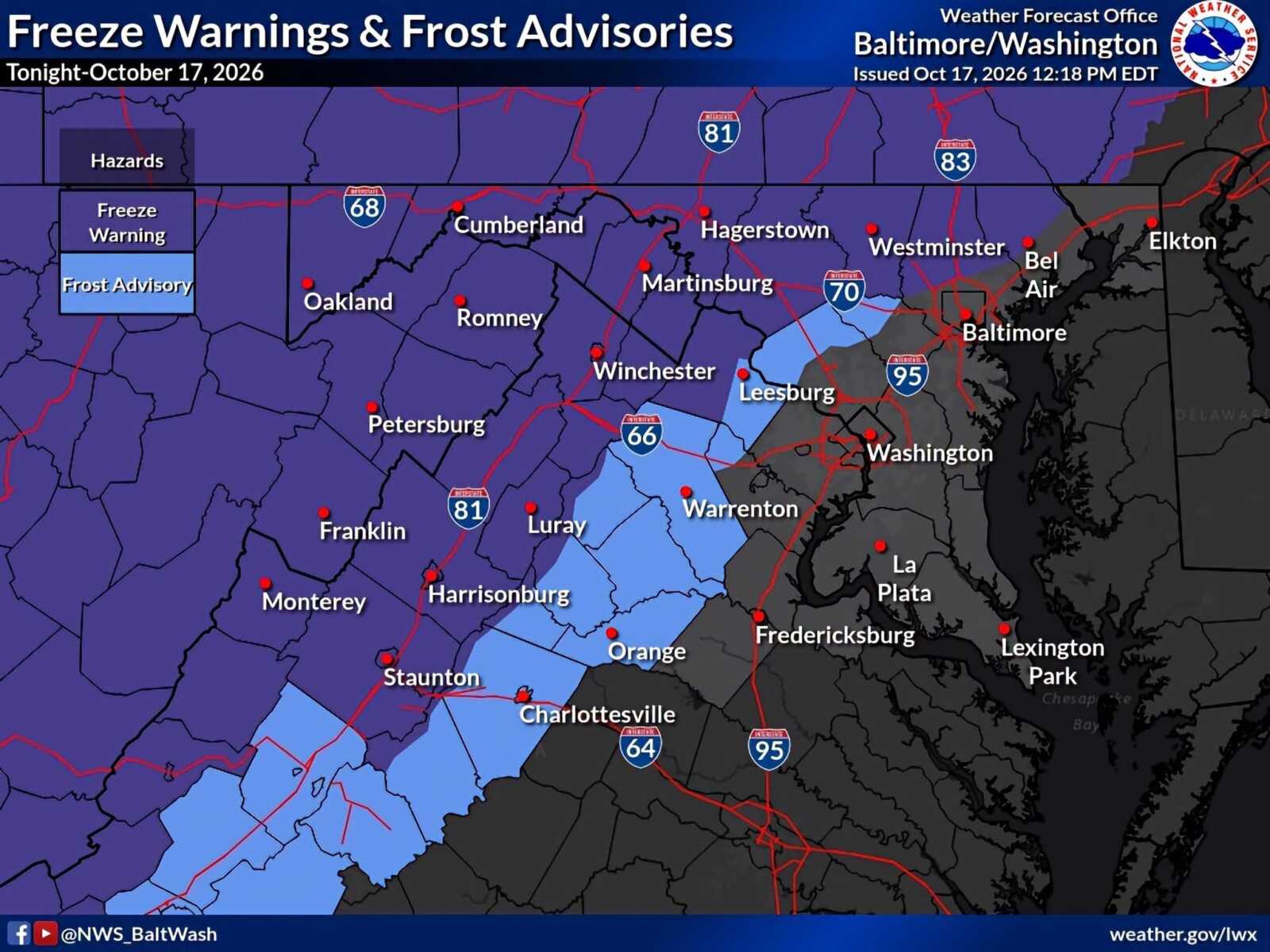 Frost Advisory and Freeze Warnings in Effect Across Parts of Maryland And Northern Virginia
A Frost Advisory remains in effect for northwestern Montgomery County until 9am Sunday, October 18, as temperatures are expected to fall into the low-to-mid 30s overnight. A Freeze Warning is in effect for some…
-
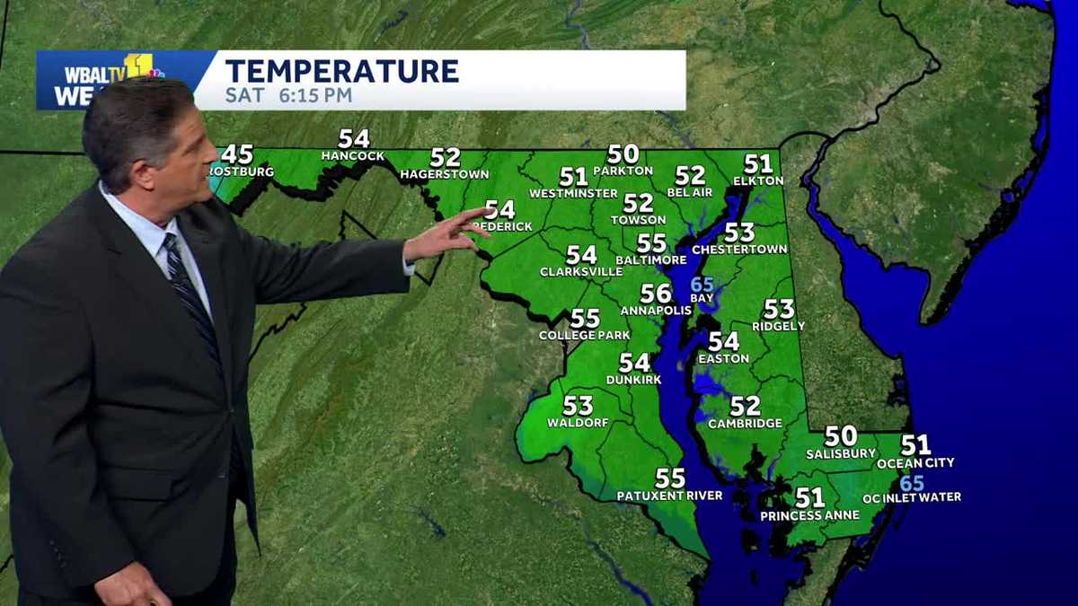 Frost is possible Saturday night in Maryland
Frost is possible tonight WBAL-TV Frost is possible Saturday night in Maryland Frost is possible tonight Good idea to cover or bring in any plants that are sensitive to the cold tonight. Frost is possible in areas away…
Air quality
Air quality is satisfactory, and air pollution poses little or no risk.
Forecast
- MonModerate (56)
- TueModerate (55)
- WedModerate (53)
Suburban DC, MD reporting area · 1 hr ago. Data from AirNow (EPA and its state, local and tribal partners); preliminary and subject to change.
Sun & moon
Almanac
MonthlyBaltimore Area, records since 1872. Normals 1991–2020. Data from NOAA's Regional Climate Centers (ACIS).
Nearby
- Washington 29 km
- Baltimore 28 km
- Arlington 34 km
- Columbia 17 km
- Silver Spring 21 km
- Glen Burnie 18 km
- Gaithersburg 34 km
- Rockville 29 km
- Ellicott City 20 km
- Dundalk 31 km
- Bethesda 27 km
- Bowie 18 km
Forecasters' discussion
From the National Weather Service office in LWX, issued 2 hrs ago
What Has Changed
Patchy shallow fog has been developing early this morning, and may expand a bit before lifting quickly after daybreak.
Key Messages
- 1) Dry through the end of October.
- 2) Precipitation chances return in early November.
Discussion
KEY MESSAGE 1...Dry through the end of October.
Large scale ridging persists at the surface and aloft through the end of the week. This results in dry weather and above normal temperatures through the end of October.
Surface high pressure of Canadian origin that built over the Mid-Atlantic this past weekend will drift south and west across the central Appalachians and Tennessee Valley through tonight. This continues a gradual warming trend that began on Sunday.
A weakening cold front will approach from the north tonight, tied to low pressure over the Canadian Maritimes. But without much forcing or moisture, no precipitation is expected. The front will cross the region Tuesday morning, then stall and weaken, or perhaps lift northward as a weak warm front, through mid week. Warmer than normal temperatures will continue during this time as a result.
Another large area of high pressure will build to the north for the second half of the week. The position of the high should allow for southeast to southwest winds and continued warm temperatures by late October standards. The warmest day currently appears to be Friday when highs in the mid to upper 70s are possible.
Saturday may be a few degrees cooler as clouds begin to increase from the west ahead of a trough developing over the middle of the country. Highs will likely still be above normal into the lower 70s, however.
Aviation
It's a bit of a tricky forecast this morning due to a number of competing factors surrounding potential fog. Low-level flow is light out of the west, which typically inhibits fog, and the background airmass isn't terribly moist. However, very sharp surface temperature inversions are evident early this morning, resulting in shallow saturation. Whether this results in shallow fog or just dew is the big question, with the greatest potential for fog and IFR occurring right around daybreak when surface inversions are at their sharpest. Confidence is modest, but given IFR fog already developing in some sheltered piedmont locations and widespread T/Td spreads of less than 2 degrees as of 06Z, have inserted 1-3 hour TEMPOs around daybreak for IFR. The notion of at least brief IFR fog is supported by the RAP, HRRR, GLAMP, RRFS, and NAM/NAMNest...but not so much by the MAV/MET or WRF-ARW/HRW-FV3.
Otherwise, VFR conditions are expected to prevail through the upcoming week. Some light onshore flow Tuesday night through Thursday could result in some late night/early morning sub-VFR potential. Dry weather is anticipated with winds shifting from W today, to NE Tuesday, then SE to SW Wednesday through Friday.
The next chance of precipitation does not arrive until the second half of the upcoming weekend, but uncertainty is high at this time.
Forecasts, observations and alerts in the United States come from the National Weather Service (NOAA); radar from NOAA's Multi-Radar Multi-Sensor system; satellite imagery from NASA's Global Imagery Browse Services (GIBS) and NOAA's GOES satellites; the map from the U.S. Geological Survey's National Map; air quality from AirNow (EPA and its partners); hurricane information from the National Hurricane Center; climate normals and records from NOAA's Regional Climate Centers (ACIS). Forecasts outside the United States and the UV index: MET Norway (CC BY 4.0); observations outside the U.S.: airport reports via NOAA's Aviation Weather Center. Place names: GeoNames (CC BY 4.0). Data are copied on a schedule and may lag the sources; for warnings that affect your safety, follow your local National Weather Service office and emergency officials. Weather news is drawn from the 4Conservative index and reflects what the press published. Terms of use. How to use Weather