Install
Fruitland, MD Weather
Current conditions
Forecast for this hour (no station report in the last two hours)
Forecast
10-day-
Saturday
Sunny, with a high near 60.
-
Saturday Night
Mostly clear, with a low around 42.
-
Sunday
Sunny, with a high near 65.
National Weather Service forecast updated 4 days ago.
Hourly
Hourly forecast- Now52°
- 12 PM54°
- 1 PM55°
- 2 PM56°
- 3 PM57°
- 4 PM57°
- 5 PM57°
- 6 PM56°
- 7 PM54°
- 8 PM52°
- 9 PM50°
- 10 PM48°
- 11 PM47°
- Sun12 AM46°
- 1 AM46°
- 2 AM46°
- 3 AM45°
- 4 AM44°
- 5 AM43°
- 6 AM43°
- 7 AM43°
- 8 AM44°
- 9 AM47°
- 10 AM50°
10-day forecast
Details- TueOct 20Sunny47°69°
- WedOct 21Mostly Sunny44°63°
- ThuOct 22Sunny47°66°
- FriOct 23Sunny42°60°
- TodayOct 24Sunny42°60°
- SunOct 25Sunny47°65°
- MonOct 26Mostly Sunny50°68°
- TueOct 27Partly cloudy47°62°
- WedOct 28Cloudy47°64°
- ThuOct 29Partly cloudy49°71°
Days after the National Weather Service's seven are MET Norway's outlook, a computer model with no forecaster's review.
Radar
Full mapWeather news near Fruitland
More weather news- UPDATE: Look for strong thunderstorms in North Texas early Thursday morning
An updated report was issued from the NWS Fort Worth TX on Thursday at 4:30 a.m. for strong thunderstorms until 5 a.m. The alert is for Wise, Montague and Cooke counties. "At 4:27 a.m., Doppler radar tracked strong…
-
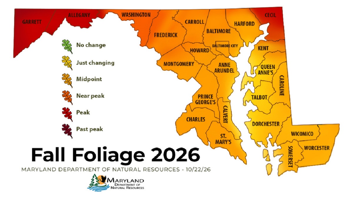 Western Maryland Peaks as Central Maryland Nears Full Color
ANNAPOLIS — Fall color has reached its peak in Maryland’s westernmost mountains and is closing in on central Maryland, according to the state’s latest foliage report. The Maryland Department of Natural Resources’ Oct…
-
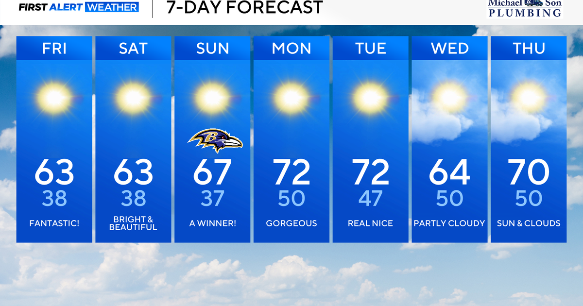 Maryland to enjoy nicest fall weekend weather of season yet
Updated on: October 23, 2026 / 8:46 AM EDT / CBS Baltimore A strong area of high pressure will protect our weather through the weekend and beyond. This type of weather pattern delivers us plenty of sunshine, seasonably…
-
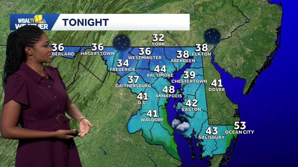 Weather: A dry weekend with chilly mornings are on the way in Maryland
Meteorologist Dalencia Jenkins says a dry weekend with chilly mornings are on the way in Maryland Weather: A dry weekend with chilly mornings are on the way in Maryland Meteorologist Dalencia Jenkins says a dry weekend…
-
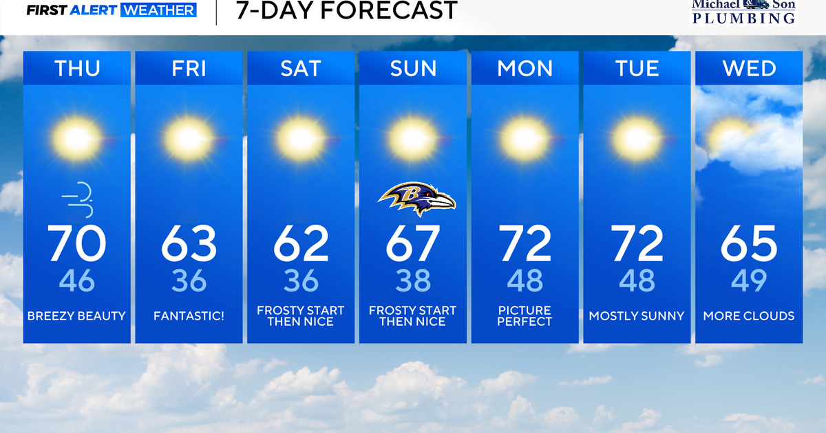 Classic fall weather for Maryland to enjoy through the weekend
Updated on: October 22, 2026 / 8:47 AM EDT / CBS Baltimore Subtropical Storm Josephine, which has been over 500 miles offshore, will continue its journey out to sea. This means rough surf, beach erosion, and coastal…
-
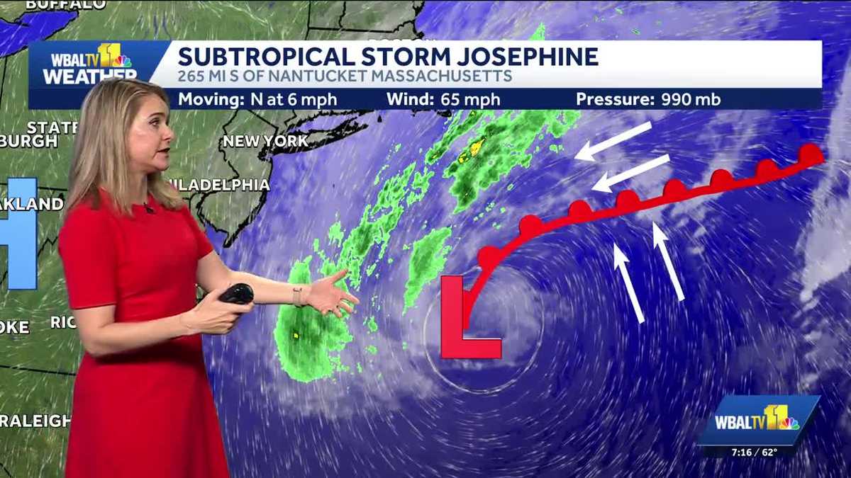 Subtropical Storm Josephine forms off the Maryland coast
Where the storm is headed and the impacts being felt in Ocean City, Maryland Big waves continue in Ocean City, Maryland as an area of low pressure strengthens offshore. The National Hurricane Center has named it…
-
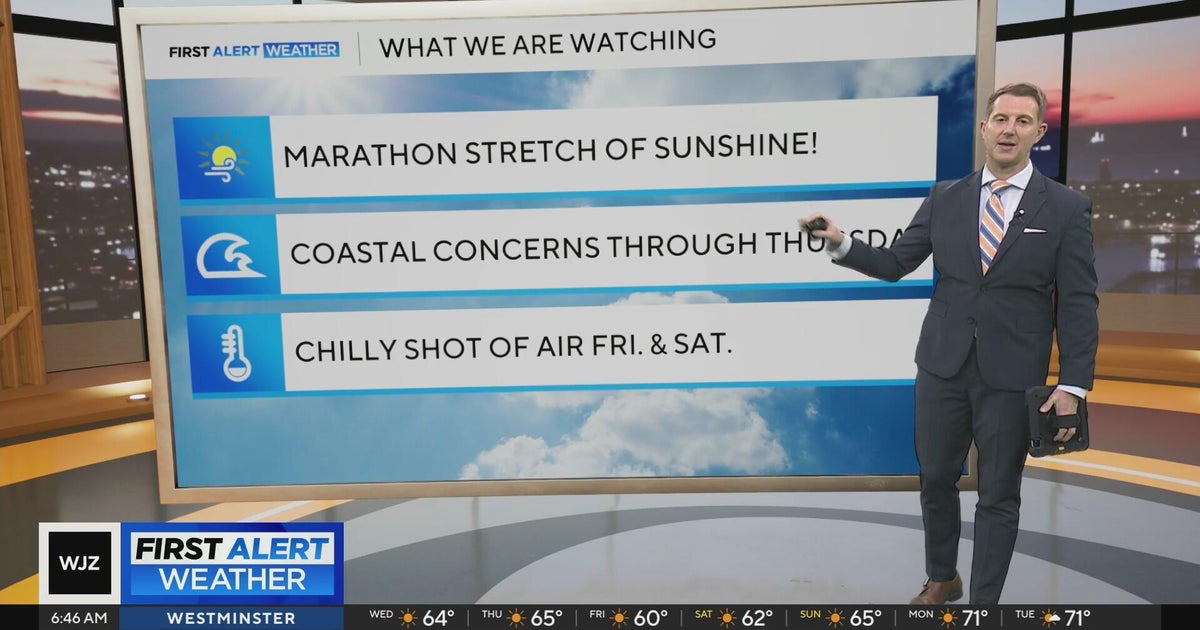 Sunshine continues for days across Maryland
CBS News Sunshine continues for days across Maryland Around Town: Flock to the Ivy Hotel to enjoy their purple pride packages Goetze Candy Company has a new beer collab with Monument City Brewing called "Bulls-eye" The…
-
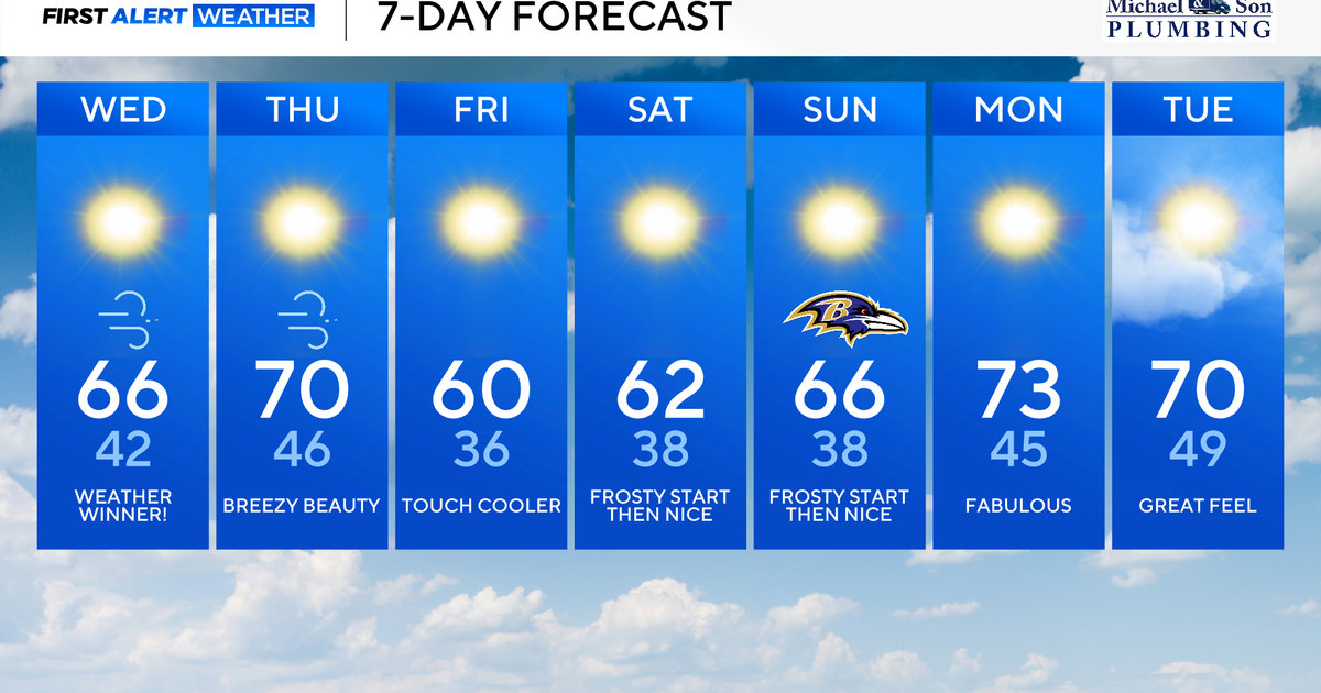 Gorgeous fall weather across Maryland through the weekend
Updated on: October 21, 2026 / 8:45 AM EDT / CBS Baltimore The combination of a powerful offshore storm to our east and strong high pressure to our west will deliver us more bright, sunny, and, comfortable weather. A…
-
 Maryland Drivers Urged To Watch For Children At Bus Stops As Mornings Grow Darker
CALIFORNIA, Md. — As mornings grow darker and daylight saving time approaches its end, Maryland drivers are being reminded to slow down and watch for children walking to school bus stops during their morning commutes…
-
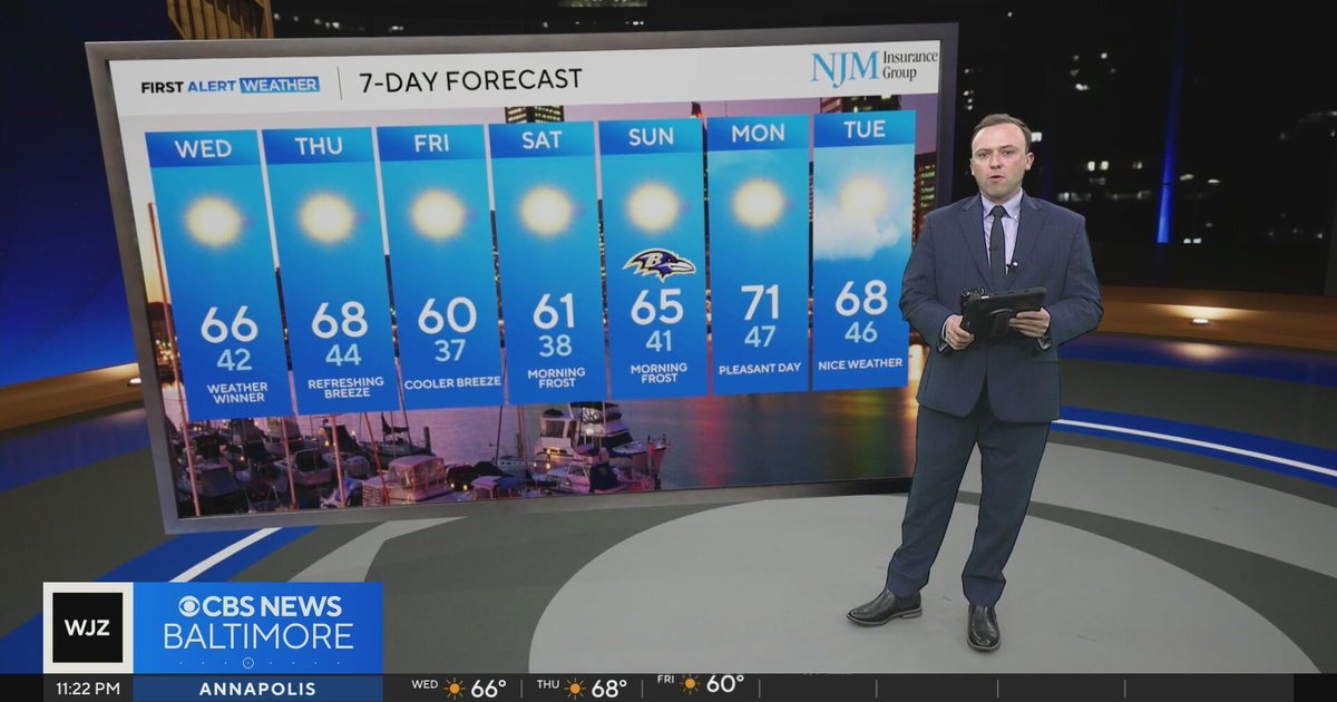 More cool, crisp comfortable temperatures in Maryland
WBZ This Morning 5am CBS News Detroit 5am CBS News Miami 5am CBS News Philadelphia 5am KDKA-TV Morning News 5am
Air quality
Air quality is satisfactory, and air pollution poses little or no risk.
Sussex County, DE reporting area · 1 hr ago. Data from AirNow (EPA and its state, local and tribal partners); preliminary and subject to change.
Sun & moon
Nearby
- Salisbury 5 km
- Cambridge 48 km
- Ocean Pines 41 km
- Seaford 35 km
- Ocean City 47 km
- Georgetown 46 km
- Berlin 35 km
- West Ocean City 45 km
- Millsboro 41 km
- Pocomoke City 28 km
- Laurel 26 km
- Princess Anne 15 km
Forecasters' discussion
From the National Weather Service office in AKQ, issued 8 hrs ago
What Has Changed
-No significant forecast changes/Discussions updated.
Key Messages
1) Continued dry with seasonable temperatures through the middle of next week.
2) Elevated tidal anomalies continue through today with nuisance to minor tidal flooding forecast.
Discussion
As of 330 AM EDT Saturday...
KEY MESSAGE 1...Continued dry with seasonable temperatures through the middle of next week.
The latest WX analysis indicates an amplified upper level pattern, not quite an Omega block, but a strong enough upper level ridge across the central CONUS to keep the upstream troughing over the SW from getting east of the Plains states through the middle of next week. Meanwhile, light northerly flow aloft will continue across the local area through Sunday, before weak shortwave energy passes through and moves off the SE coast Sunday night. At the surface, strong high pressure (~1034 mb) is centered over eastern NY state and New England, ridging southward into the mid-Atlantic. The pressure gradient remains compressed over southern VA and the Carolinas, keeping the airmass mixed and milder than 24 hrs ago for most- temperatures are primarily in the 40s and 50s, though a few upper 30s are noted over the north closer to the sfc high. Any frost should be patchy at best through sunrise and confined to the northern piedmont.
The high continues to gradually build south and into the local area later today and tonight, but with a sfc trough of low pressure off the SE US coast, and somewhat lower heights aloft/weak shortwaves aloft through Sunday, expect a lot of shallow low level moisture to again lead to a period of partly- mostly cloudy skies late this morning and afternoon despite no rain chances. Highs will be a few degrees cooler than yesterday, but seasonable in the low-mid 60s north (and along the coast) and mid to upper 60s interior central and south. Breezy E-NE winds near the coast will continue, while winds inland will generally be ~10 mph or less. For tonight/Sunday morning, temperatures should be slightly lower with mid 30s NW and upper 30s to lower 40s for most of central and south-central VA. Patchy frost is expected for areas to the N and W of Richmond, though confidence for enough coverage to warrant a Frost Advisory is low and will let the dayshift make the call.
As the high continues to settle in from the north Sunday, clouds will tend to be a bit less, but SCT-BKN cumulus is still likely along and S of I-64. Temperatures warm a few degrees with highs in the mid 60s to near 70 F. Sunday night/Monday AM will likely see the greatest potential for a more widespread frost spreading east from the piedmont to interior SE VA as better decoupling is expected. Continue to go a few degrees colder than NBM, with mid 30s forecast for much of the piedmont and and mid-upper 30s for interior SE VA. Warmer Monday ahead of the next (dry) front, then slightly cooler into midweek and staying dry. The ECMWF ensemble chance for just .01" of rain through the end of the month is less than 10% for most of the CWA, with the GEFS only slightly higher.
KEY MESSAGE 2...Elevated tidal anomalies continue through Saturday with nuisance to minor tidal flooding forecast.
Aviation
As of 200 AM EDT Saturday...
VFR conditions prevail for the 06z/24 TAF period with strong high pressure centered to the N-NE of the local area gradually building south through the weekend. Expect another round of BKN cumulus late this morning through the aftn with E-NE winds around 10 kt inland and 10-15 kt with gusts to ~20 kt along the coast. Model soundings suggest the CIGs later today should mainly be VFR at 3500-5000 ft.
Outlook: VFR conditions continue Sunday through the middle of next week. Forecast winds on Sunday will be similar, out of the E-NE and elevated near the coast in SE VA and NE NC, followed by lighter N to NE winds on Monday. Elevated NE winds return Tue- Wed.
Forecasts, observations and alerts in the United States come from the National Weather Service (NOAA); radar from NOAA's Multi-Radar Multi-Sensor system; satellite imagery from NASA's Global Imagery Browse Services (GIBS) and NOAA's GOES satellites; the map from the U.S. Geological Survey's National Map; air quality from AirNow (EPA and its partners); hurricane information from the National Hurricane Center; climate normals and records from NOAA's Regional Climate Centers (ACIS). Forecasts outside the United States and the UV index: MET Norway (CC BY 4.0); observations outside the U.S.: airport reports via NOAA's Aviation Weather Center. Place names: GeoNames (CC BY 4.0). Data are copied on a schedule and may lag the sources; for warnings that affect your safety, follow your local National Weather Service office and emergency officials. Weather news is drawn from the 4Conservative index and reflects what the press published. Terms of use.