Install
Chestertown, MD Weather
Current conditions
Observed at Baltimore, Inner Harbor · 36 min ago
Forecast
10-day-
Overnight
Clear, with a low around 45. North wind 5 to 10 mph.
-
Friday
Sunny, with a high near 62. Northeast wind 5 to 10 mph.
-
Friday Night
Mostly clear, with a low around 37. Northeast wind 0 to 5 mph.
National Weather Service forecast updated 9 hrs ago.
Hourly
Hourly forecast- Now49°
- 2 AM49°
- 3 AM48°
- 4 AM48°
- 5 AM48°
- 6 AM47°
- 7 AM46°
- 8 AM46°
- 9 AM49°
- 10 AM54°
- 11 AM57°
- 12 PM59°
- 1 PM60°
- 2 PM61°
- 3 PM62°
- 4 PM62°
- 5 PM61°
- 6 PM58°
- 7 PM51°
- 8 PM46°
- 9 PM44°
- 10 PM43°
- 11 PM42°
- Sat12 AM42°
10-day forecast
Details- TonightOct 22Clear45°
- TodayOct 23Sunny37°62°
- SatOct 24Sunny39°63°
- SunOct 25Sunny42°65°
- MonOct 26Sunny48°67°
- TueOct 27Sunny44°67°
- WedOct 28Partly Sunny47°64°
- ThuOct 29Mostly Sunny67°
- FriOct 30Sunny46°60°
- SatOct 31Mostly sunny43°59°
Days after the National Weather Service's seven are MET Norway's outlook, a computer model with no forecaster's review.
Radar
Full mapWeather news in Maryland
More weather news-
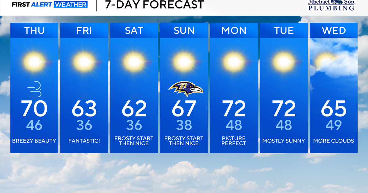 Classic fall weather for Maryland to enjoy through the weekend
Updated on: October 22, 2026 / 8:47 AM EDT / CBS Baltimore Subtropical Storm Josephine, which has been over 500 miles offshore, will continue its journey out to sea. This means rough surf, beach erosion, and coastal…
-
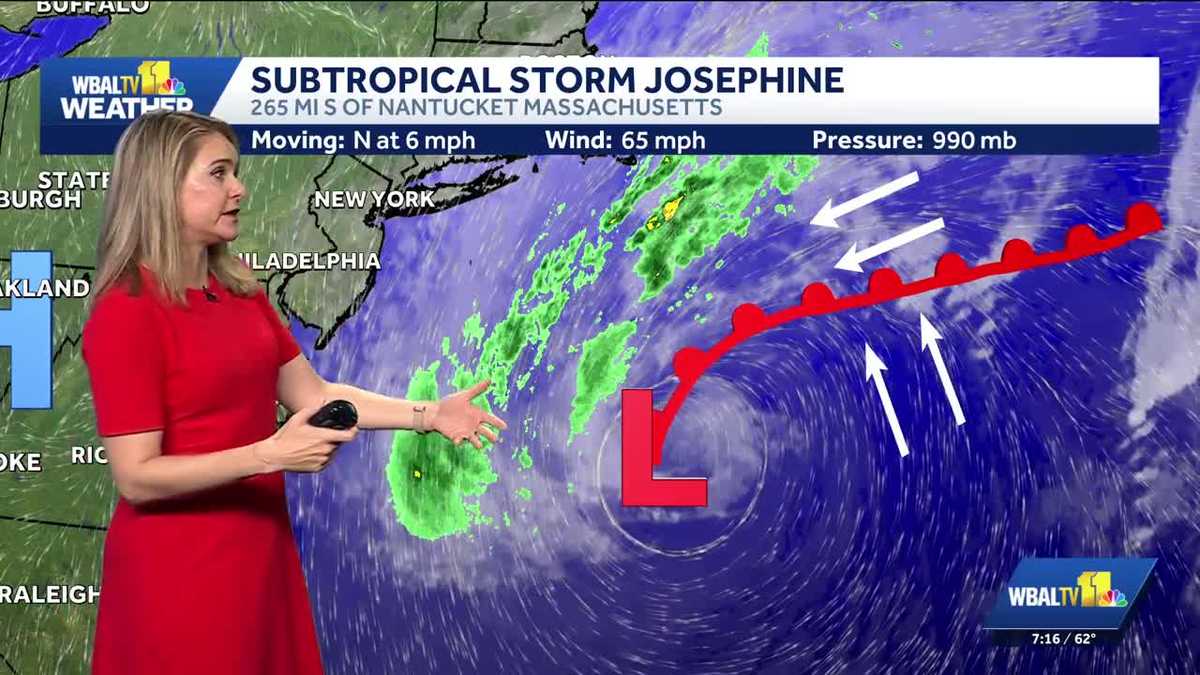 Subtropical Storm Josephine forms off the Maryland coast
Where the storm is headed and the impacts being felt in Ocean City, Maryland Big waves continue in Ocean City, Maryland as an area of low pressure strengthens offshore. The National Hurricane Center has named it…
-
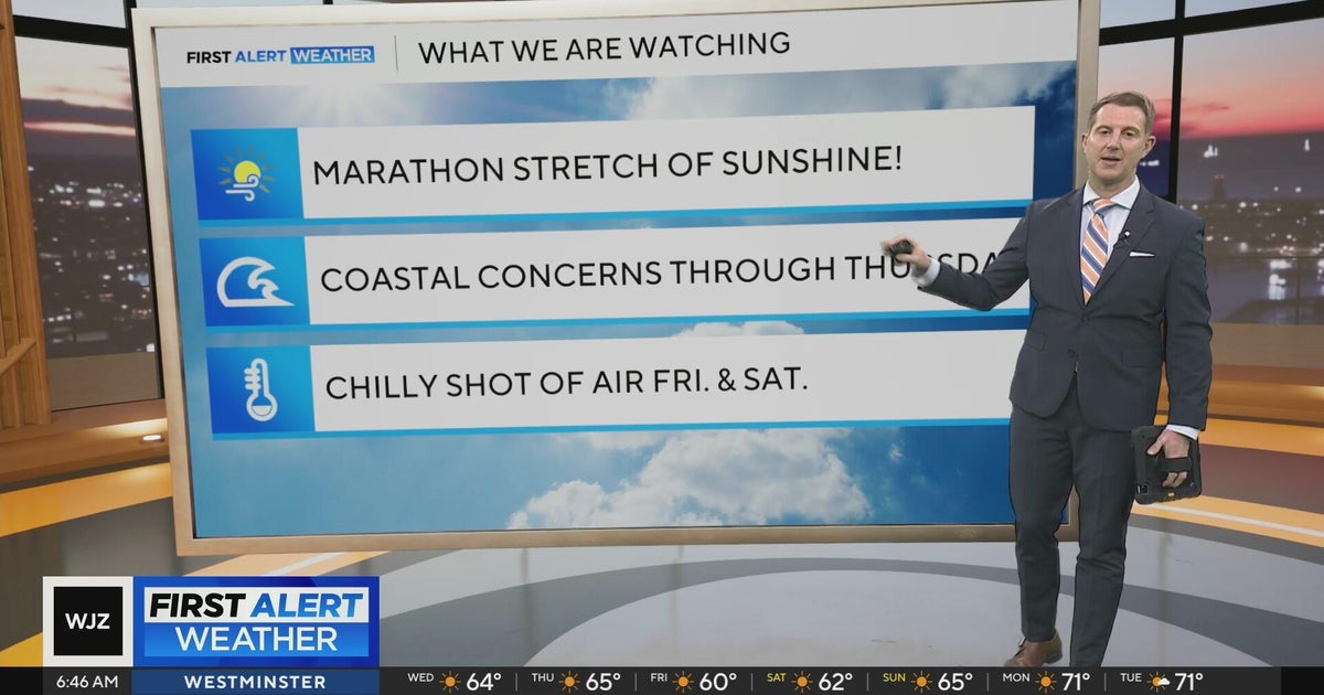 Sunshine continues for days across Maryland
CBS News Sunshine continues for days across Maryland Around Town: Flock to the Ivy Hotel to enjoy their purple pride packages Goetze Candy Company has a new beer collab with Monument City Brewing called "Bulls-eye" The…
-
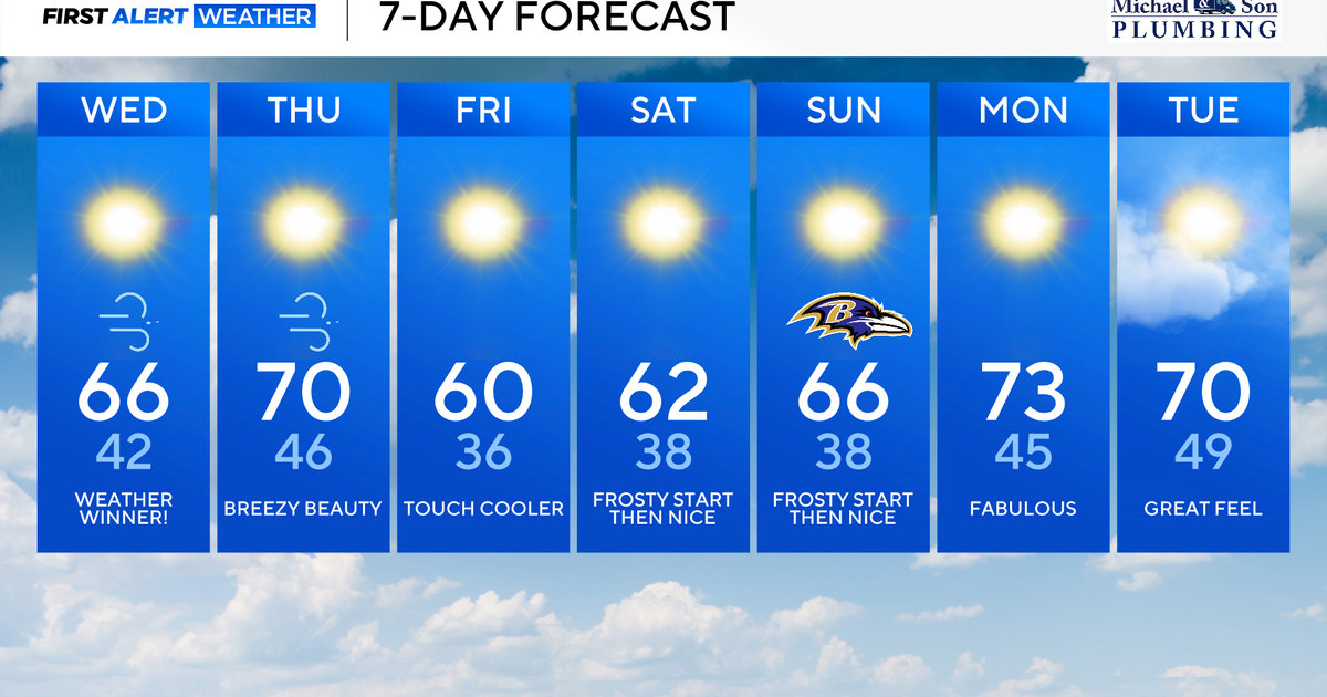 Gorgeous fall weather across Maryland through the weekend
Updated on: October 21, 2026 / 8:45 AM EDT / CBS Baltimore The combination of a powerful offshore storm to our east and strong high pressure to our west will deliver us more bright, sunny, and, comfortable weather. A…
-
 Maryland Drivers Urged To Watch For Children At Bus Stops As Mornings Grow Darker
CALIFORNIA, Md. — As mornings grow darker and daylight saving time approaches its end, Maryland drivers are being reminded to slow down and watch for children walking to school bus stops during their morning commutes…
-
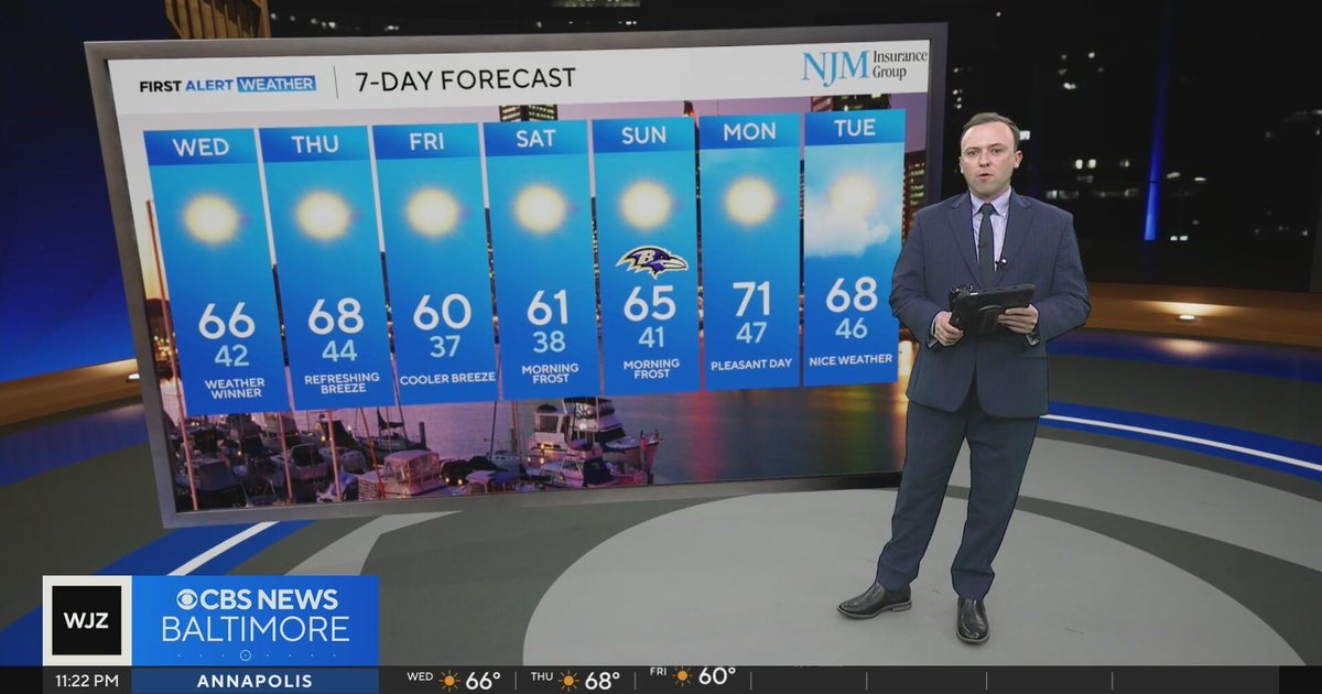 More cool, crisp comfortable temperatures in Maryland
WBZ This Morning 5am CBS News Detroit 5am CBS News Miami 5am CBS News Philadelphia 5am KDKA-TV Morning News 5am
-
 Dry stretch with more fall foliage showing up in Maryland
WBFF BALTIMORE (WBFF) -- Updated 6 a.m. October 21 — Quiet weather continues with cool mornings and mild afternoons. Temperatures will mainly remain in the 40s for lows and 60s for highs with just a small dip on Friday…
-
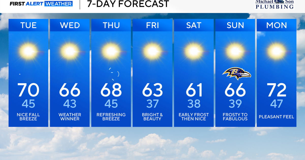 Nor'easter offshore keeps Maryland crisp, cool, and comfortable
Updated on: October 20, 2026 / 8:28 AM EDT / CBS Baltimore An atmospheric 'traffic jam' will keep Maryland in an exceptional fall weather pattern. Sunshine, crisp, and comfortably cool temperatures will continue through…
-
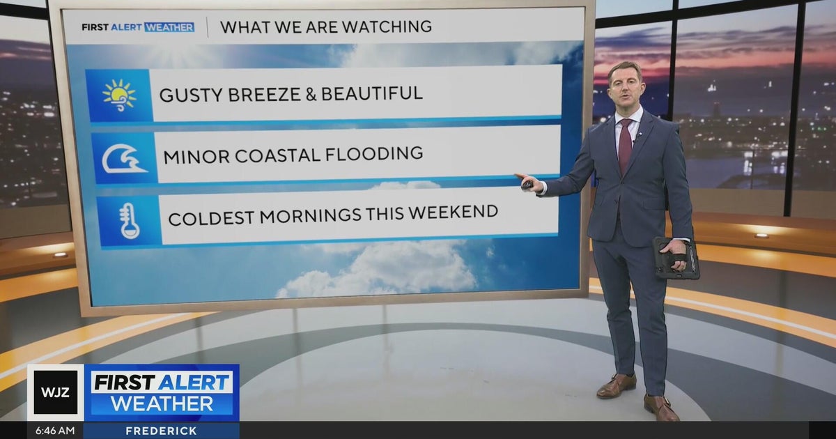 Beautiful stretch of weather in Maryland this week
CBS News Beautiful stretch of weather in Maryland this week Baltimore police investigate reported shooting along Belair Road Cool, nice, breezy weather continues in Maryland 1 killed in triple shooting near NW Baltimore…
-
 Fall weather is finally here in Maryland. But will it stay?
Maryland will continue to see cooler temperatures, complementing the beginning of changing leaves, wearing sweaters and Halloween festivities as the state enters autumn. "We finally have kind of seen a full transition…
Air quality
Air quality is satisfactory, and air pollution poses little or no risk.
Forecast
- FriGood (22)
- SatGood (50)
- SunModerate (53)
Upper Eastern Shore, MD reporting area · 1 hr ago. Data from AirNow (EPA and its state, local and tribal partners); preliminary and subject to change.
Sun & moon
Almanac
MonthlyAberdeen Phillips Fld, records since 1919. Normals 1991–2020. Data from NOAA's Regional Climate Centers (ACIS).
Nearby
- Baltimore 48 km
- Glen Burnie 48 km
- Dundalk 39 km
- Towson 51 km
- Bel Air South 39 km
- Gwynn Oak 56 km
- Severn 55 km
- Catonsville 58 km
- Annapolis 45 km
- Dover 47 km
- Essex 37 km
- Hanover 57 km
Forecasters' discussion
From the National Weather Service office in PHI, issued 5 hrs ago
What Has Changed
Expired the Small Craft Advisory on the lower Delaware Bay and updated the Aviation Section for the 00Z TAFs. Also, updated wording to reflect what is now Post-Tropical Cyclone Josephine.
Key Messages
1. Post-Tropical Cyclone Josephine located well off the Mid- Atlantic coast will continue to move off to the northeast through the end of the week, with coastal impacts and hazardous marine conditions gradually dwindling.
2. Elevated tide cycles persist due to Post-Tropical Cyclone Josephine well of the coast resulting in widespread minor coastal flooding continuing in Ocean County, NJ and Sussex County, DE.
3. Frost and freeze impacts possible Friday night and Saturday night where the growing season continues.
Discussion
KEY MESSAGE 1...Post-Tropical Cyclone Josephine located well off the Mid-Atlantic coast will continue to move off to the northeast through the end of the week, with coastal impacts and hazardous marine conditions gradually dwindling.
Post-Tropical Cyclone Josephine located well off the Mid- Atlantic coast will continue to move off to the northeast through the end of the week. Impacts will continue to dwindle for our coastal and marine areas. The multi-day north-northeast wind has resulted in elevated seas that will continue to lessen through the end of the week and into the weekend. These big waves breaking onto the beaches will result in some additional beach erosion, especially during the times of high tide. This will continue to lessen each day through the weekend.
An incoming system from the northwest will push across the region tonight, but no precipitation and minimal cloud cover is expected with it. Its main function is to move Josephine away. This is what will help further reduce the marine and coastal impacts, while providing a fresh shot of chilly air. A lingering tight pressure gradient into tonight starts to lessen Friday morning as high pressure builds into the region.
KEY MESSAGE 2...Elevated tide cycles persist due to Post- Tropical Cyclone Josephine well of the coast resulting in widespread minor coastal flooding continuing in Ocean County, NJ and Sussex County, DE.
As Post-Tropical Cyclone Josephine lingers well off the coast elevated tide cycles are persisting some areas.
In Ocean County, New Jersey and Sussex County, Delaware, water levels remain elevated and minor tidal flooding is continuing, particularly in the back bays. In fact a few locations in the back bays came very close to or even touched moderate levels of coastal flooding earlier today with the high tide. It's going to take some time for water levels to diminish in these areas so we've extended the Coastal Flood Advisory for these counties through Friday evening. Elsewhere along the Atlantic coast and Delaware Bay any additional coastal flooding looks to be spotty at most.
Aviation
The following discussion is for KPHL, KPNE, KTTN, KABE, KRDG, KILG, KMIV, KACY and surrounding areas.
Tonight...VFR/SKC. A few clouds possible. Northwest winds around 5-10 kt early, will settle out of the north-northeast overnight. High confidence.
Friday...VFR/SKC. A few high clouds late. Northeast winds around 7-12 kt will become more easterly late in the day. A few gusts up to 15-20 kt possible near ACY. High confidence.
Outlook...
Friday night through Tuesday...VFR. No significant weather expected.
Forecasts, observations and alerts in the United States come from the National Weather Service (NOAA); radar from NOAA's Multi-Radar Multi-Sensor system; satellite imagery from NASA's Global Imagery Browse Services (GIBS) and NOAA's GOES satellites; the map from the U.S. Geological Survey's National Map; air quality from AirNow (EPA and its partners); hurricane information from the National Hurricane Center; climate normals and records from NOAA's Regional Climate Centers (ACIS). Forecasts outside the United States and the UV index: MET Norway (CC BY 4.0); observations outside the U.S.: airport reports via NOAA's Aviation Weather Center. Place names: GeoNames (CC BY 4.0). Data are copied on a schedule and may lag the sources; for warnings that affect your safety, follow your local National Weather Service office and emergency officials. Weather news is drawn from the 4Conservative index and reflects what the press published. Terms of use.