Install
California, MD Weather
Current conditions
Forecast for this hour (no station report in the last two hours)
Forecast
10-day-
Friday Night
Clear, with a low around 41. Northeast wind around 6 mph.
-
Saturday
Sunny, with a high near 60. Northeast wind 3 to 7 mph.
-
Saturday Night
Mostly clear, with a low around 46. Northeast wind around 3 mph.
National Weather Service forecast updated 1 day ago.
Hourly
Hourly forecast- Now45°
- 6 AM45°
- 7 AM44°
- 8 AM46°
- 9 AM50°
- 10 AM54°
- 11 AM57°
- 12 PM59°
- 1 PM60°
- 2 PM60°
- 3 PM60°
- 4 PM60°
- 5 PM59°
- 6 PM56°
- 7 PM52°
- 8 PM49°
- 9 PM48°
- 10 PM47°
- 11 PM47°
- Sun12 AM47°
- 1 AM46°
- 2 AM46°
- 3 AM46°
- 4 AM46°
10-day forecast
Details- TonightOct 22Clear47°
- FriOct 23Sunny41°61°
- TodayOct 24Sunny46°60°
- SunOct 25Sunny46°62°
- MonOct 26Sunny49°65°
- TueOct 27Sunny50°65°
- WedOct 28Partly Sunny52°62°
- ThuOct 29Mostly Sunny65°
- FriOct 30Partly cloudy53°74°
- SatOct 31Partly cloudy56°63°
Days after the National Weather Service's seven are MET Norway's outlook, a computer model with no forecaster's review.
Radar
Full mapWeather news near California
More weather news-
 Pacific Storm Brings Rain and High Elevation Snow to Northern California
SuaraGarut.ID A Pacific storm moving south along the West Coast is bringing cooler temperatures, breezy winds, and scattered precipitation to Northern California this week According to KCRA meteorologists, rain chances…
-
 Rain — and potentially lots of it — heading to Southern California
Widespread rain and possible thunderstorms are headed for Southern California this week, with forecasters on Monday warning that some areas could receive up to 2 inches of rain. The National Weather Service said a…
-
 Cooler temperatures, possible rain headed for Southern California
It’s time to grab those jackets and pull out the umbrellas because cooler temperatures and a chance of rain is on tap for Southern California by the middle of this week, forecasters say. The region could see widespread…
-
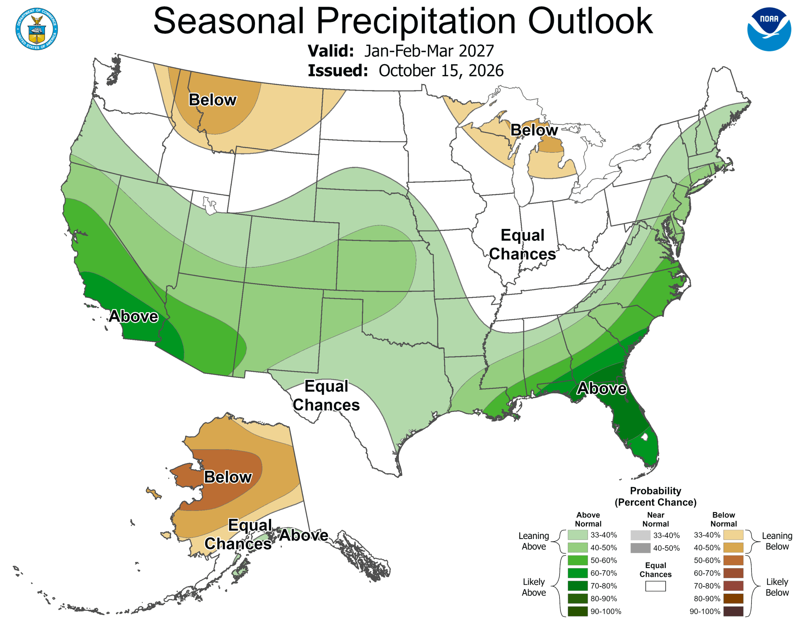 ‘Weather Whiplash’ Bringing Back Rain and Snow to California
A “weather whiplash” will continue taking Californians for a ride this week, as last week’s high temperatures and blustery winds give way to clouds, rain and snow in the mountains. This week, the stormy weather returns…
- Deep Pacific storm targets Central California, raising rain chances by Wednesday
by Ilya Neyman, Chief Meteorologist Tonight, there is a potent mid-latitude cyclone developing over the North Pacific, just west of Washington state. A very robust jet stream, with winds of close to 200 mph, is…
-
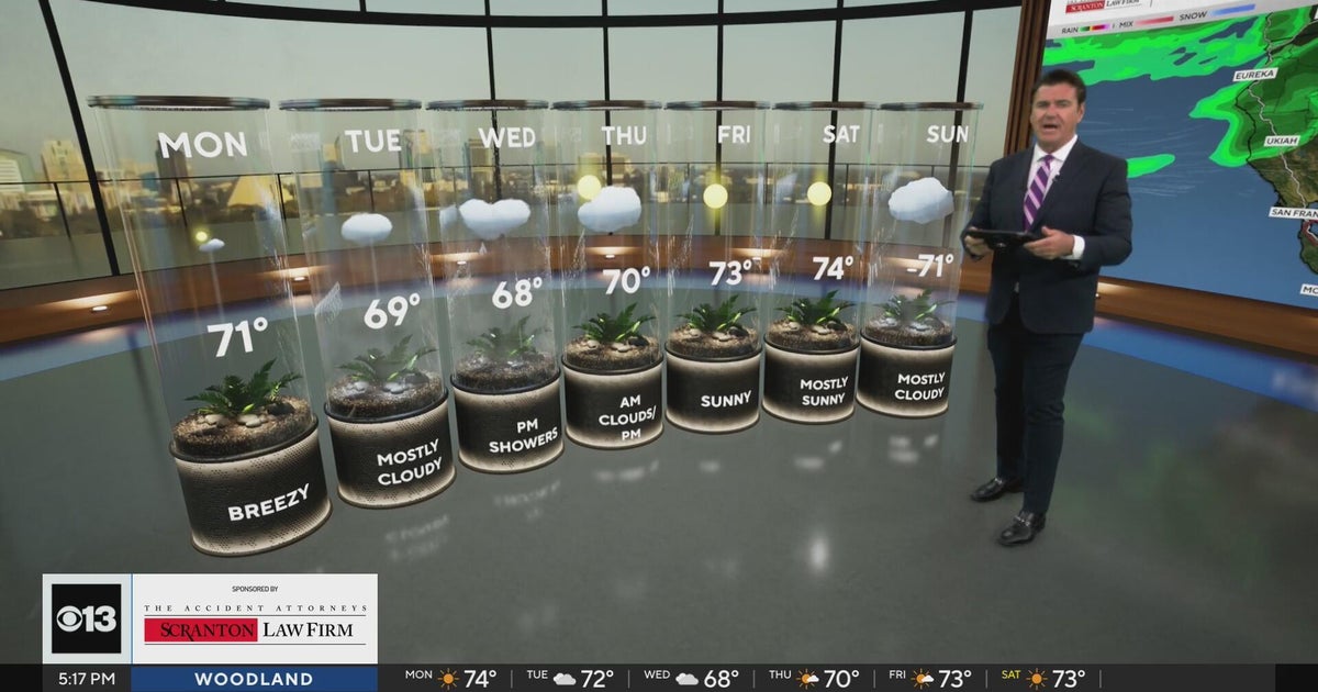 Sunday evening Northern California weather forecast - October 18, 2026
CBS News Bay Area Evening Edition Weekend 5pm CBS News Detroit Weekend 6:30pm CBS News Miami 6:30pm CBS Philadelphia at 6:30pm What's in Season with Michael Marks CBS News Texas 5:30pm
-
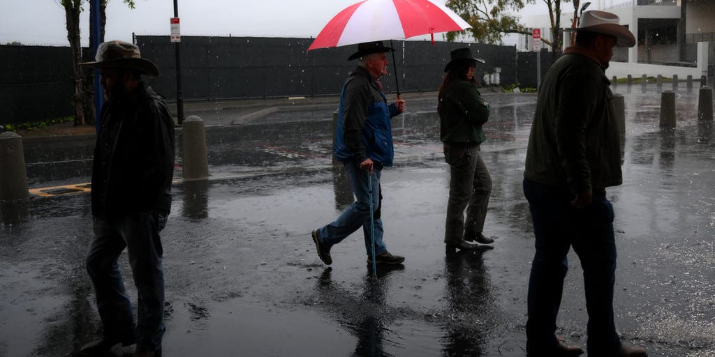 California storms could bring much-needed rain and relief to wildfire-weary areas
🔥 FIRE RELIEF: Wet weather is headed for California just in time as wildfires rage across the state, bringing much-needed relief to the fiery conditions this week. CALIFORNIA - As numerous wildfires burn across parts of…
- Weather Today
Weather Forecast and Conditions for Spruce Point, Eureka, California - The Weather Channel | Weather.com The Weather Channel Spruce Point, Eureka, California Spruce Point Daily Forecast
-
 Incoming storm to bring renewed flood risk to California, Southwest
Tropical moisture will fuel downpours across California and the Southwest this week, raising the risk of flash flooding and mudslides. Published Oct 18, 2026 11:09 AM EDT | Updated Oct 18, 2026 3:09 PM EDT Dramatic…
-
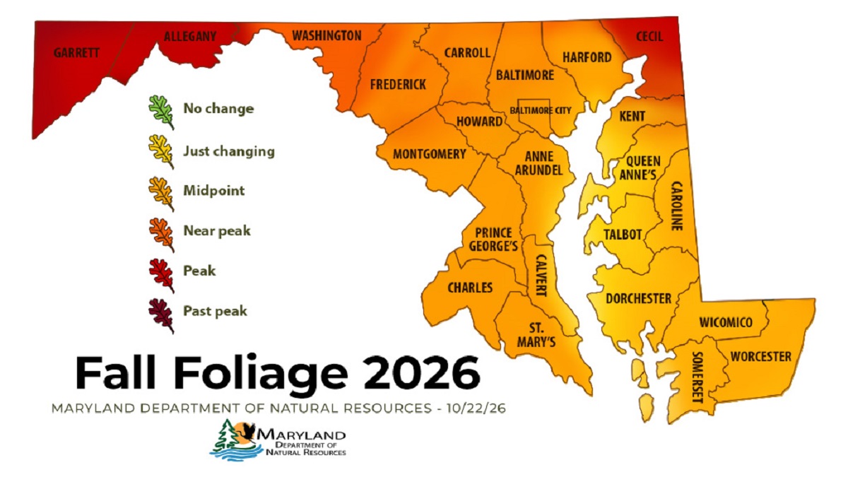 Western Maryland Peaks as Central Maryland Nears Full Color
ANNAPOLIS — Fall color has reached its peak in Maryland’s westernmost mountains and is closing in on central Maryland, according to the state’s latest foliage report. The Maryland Department of Natural Resources’ Oct…
Air quality
Air quality is satisfactory, and air pollution poses little or no risk.
Forecast
- SatGood (50)
- SunModerate (55)
- MonModerate (56)
Southern Maryland, MD reporting area · 1 hr ago. Data from AirNow (EPA and its state, local and tribal partners); preliminary and subject to change.
Sun & moon
Almanac
MonthlyPatuxent River Nas, records since 1945. Normals 1991–2020. Data from NOAA's Regional Climate Centers (ACIS).
Nearby
- Waldorf 52 km
- Saint Charles 50 km
- St. Charles 50 km
- Cambridge 47 km
- Bennsville 56 km
- Lexington Park 6 km
- Chesapeake Ranch Estates-Drum Point 10 km
- Rosaryville 57 km
- Chesapeake Ranch Estates 9 km
- La Plata 48 km
- Marlton 58 km
- Brandywine 53 km
Forecasters' discussion
From the National Weather Service office in LWX, issued 3 hrs ago
What Has Changed
A Coastal Flood Advisory has been issued for Annapolis. Otherwise, there have been no significant changes to the forecast thinking for the next seven days.
Key Messages
- 1) Frost or freezing temperatures are possible in many areas tonight and Sunday night.
- 2) Dry weather continues through next week along with generally seasonable temperatures.
Discussion
KEY MESSAGE 1...Frost or freezing temperatures are possible in many areas tonight and Sunday night.
With a large area of Canadian high pressure building overhead through the weekend, conditions will likely become favorable for radiational cooling (light to calm winds, mainly clear skies and a cool background airmass). At the moment, it is unclear which night will be the coldest, although tonight (Saturday night) will have a slight advantage given the position of the high overhead.
The growing season for 2026 has ended along and west of the Blue Ridge and Catoctin Mountains, but continues east of there. Any headlines for frost/freeze conditions will only be issued where the growing season remains active.
For tonight, more widespread cold (possible frost/freeze) conditions are possible as high pressure settles more directly overhead. This would bring the frost/freeze threat for most areas outside the major urban centers (downtown DC/Baltimore) and immediate shore of the Chesapeake Bay. If the colder guidance verifies, then the growing season may end for more areas west of I-95 come early Sunday morning. The high will remain overhead through Monday morning, and the low-level airmass doesn't change appreciably, so frost/freeze conditions will be possible again Sunday night.
Did not make appreciable changes to the previous min temperature forecasts, which are near or below the coldest guidance which performs best in radiational cooling (MOS, NBM 10 percentile and Canadian Regional).
KEY MESSAGE 2...Dry weather continues through next week along with generally seasonable temperatures.
Aviation
VFR conditions are expected to prevail through early next week. There are some hints that a slight uptick in low-level moisture could lead to some patchy fog during the early morning hours through the weekend, though confidence in timing and extent of sub-VFR is low at this time. The NAM and related guidance is by far the most aggressive with this outcome, but is an outlier.
E to SE flow is expected today, with light to calm winds again tonight. Wind direction may be a bit variable, ranging from SE to NE as high pressure passes directly overhead Sunday.
P6SM SKC as high pressure dominates early next week. A dry cold front will cross the area late Monday night with winds shifting to N/NW Tuesday.
Forecasts, observations and alerts in the United States come from the National Weather Service (NOAA); radar from NOAA's Multi-Radar Multi-Sensor system; satellite imagery from NASA's Global Imagery Browse Services (GIBS) and NOAA's GOES satellites; the map from the U.S. Geological Survey's National Map; air quality from AirNow (EPA and its partners); hurricane information from the National Hurricane Center; climate normals and records from NOAA's Regional Climate Centers (ACIS). Forecasts outside the United States and the UV index: MET Norway (CC BY 4.0); observations outside the U.S.: airport reports via NOAA's Aviation Weather Center. Place names: GeoNames (CC BY 4.0). Data are copied on a schedule and may lag the sources; for warnings that affect your safety, follow your local National Weather Service office and emergency officials. Weather news is drawn from the 4Conservative index and reflects what the press published. Terms of use.