Install
Lafayette, LA Weather
Current conditions
Observed at Lafayette, Lafayette Regional Airport · 31 min ago
Forecast
10-day-
This Afternoon
Sunny. High near 85, with temperatures falling to around 81 in the afternoon. Northeast wind 5 to 10 mph.
-
Tonight
Mostly clear, with a low around 58. Northeast wind 0 to 5 mph.
-
Wednesday
Sunny. High near 86, with temperatures falling to around 82 in the afternoon. Northeast wind around 5 mph.
National Weather Service forecast updated 45 min ago.
Hourly
Hourly forecast- Now82°
- 3 PM83°
- 4 PM84°
- 5 PM81°
- 6 PM80°
- 7 PM78°
- 8 PM74°
- 9 PM71°
- 10 PM69°
- 11 PM67°
- Wed12 AM66°
- 1 AM64°
- 2 AM64°
- 3 AM62°
- 4 AM60°
- 5 AM60°
- 6 AM59°
- 7 AM58°
- 8 AM60°
- 9 AM64°
- 10 AM72°
- 11 AM75°
- 12 PM78°
- 1 PM82°
10-day forecast
Details- TodayOct 20Sunny58°85°
- WedOct 21Sunny56°86°
- ThuOct 22Sunny59°88°
- FriOct 23Sunny56°88°
- SatOct 24Sunny53°82°
- SunOct 25Sunny53°81°
- MonOct 26Mostly Sunny55°82°
- TueOct 27Cloudy61°80°
- WedOct 28Partly cloudy61°81°
- ThuOct 29Sunny59°84°
Days after the National Weather Service's seven are MET Norway's outlook, a computer model with no forecaster's review.
Radar
Full mapWeather news near Lafayette
More weather news-
 Fall weather is finally coming to Acadiana. And it’s bringing increased risk of fire danger.
After an extended stretch of above-normal temperatures, cooler fall weather is arriving in Acadiana this weekend. But gusty winds, low humidity and dry vegetation are raising concerns about fire danger. The National…
- Don’t Be Shocked If You Smell Something Different in Acadiana This Weekend
(Lafayette, Louisiana) - The seasons are changing, and more and more people will be outdoors this weekend across South Louisiana. As a strong cold front sweeps through the region, you may see more people outdoors…
- Dry and Windy Weekend Could Be Recipe For Fire Danger in Acadiana
(Lafayette, Louisiana) - A strong cold front will sweep across much of the southern region this weekend, and many willl want to light the first fire in the fire pit of the season, but you want to hold off. Look, I know…
- Incoming cold front transforms Acadiana into true Fall with heightened fire risk
LAFAYETTE, La. (Acadiana News First) - It’s another beautiful day as an upper-level ridge continues to shape our forecast. A few areas may have pockets of fog in the morning. With a dry, cold front arriving this Friday…
-
 NOAA winter weather forecast calls for drought relief throughout Louisiana
NOAA’s winter outlook calls for wetter-than-normal conditions in Louisiana. LSU Health climatologist Barry Keim says that’s typical during El Niño winters. Keim says a strong El Niño strengthens the southerly jet…
-
 First Alert Forecast: Comfortable Warmth Continues Across Southwest Louisiana
LAKE CHARLES, La. (KPLC) -After a beautiful fall weekend with morning lows in the 40s and 50s and afternoon highs in the 70s, Southwest Louisiana is warming up slightly — but no major heat is in sight. Monday was a…
-
 Dry, sunny stretch locked in across Southeast Louisiana
NEW ORLEANS (WVUE) - Dry air and sunshine are locked in for the New Orleans area this afternoon. A light breeze will keep conditions comfortable across the metro, and no rain is on the way. Highs will warm back into the…
-
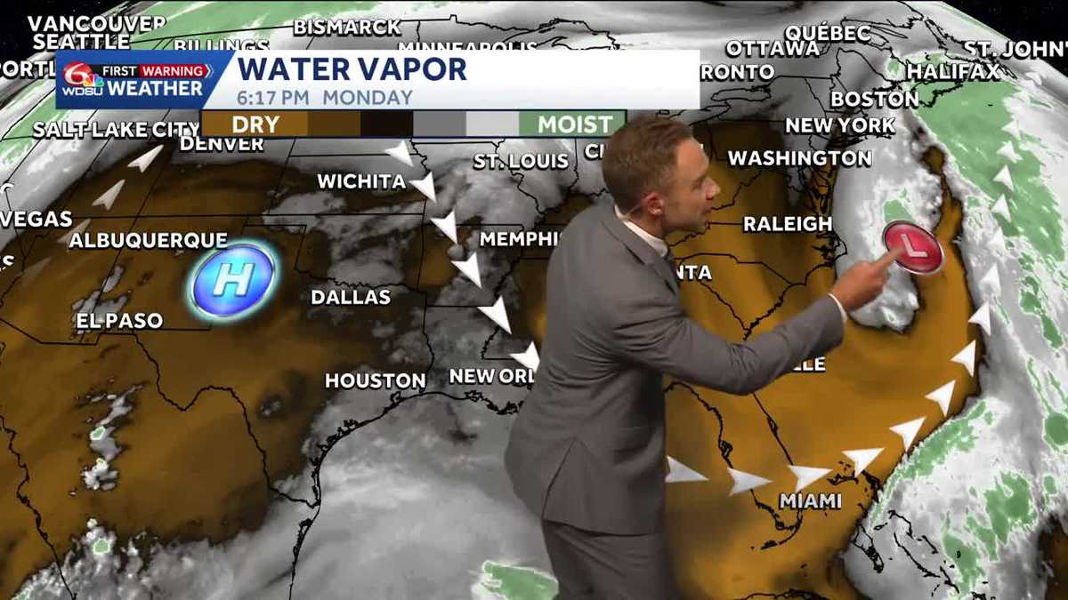 Warming up while staying sunny and dry in Louisiana
Pleasant weather conditions will continue over the next several days Clouds and sunshine will continue throughout the day with high temperatures in the mid to upper 70s during the afternoon. Mostly sunny skies will…
-
 Winds hold tight for Saturday’s last day of “Louisiana Severe Weather Awareness Week”
NEW ORLEANS (WGNO) – As the Louisiana Severe Weather Awareness Week wraps up, southeast Louisiana along with southern Mississippi continue to feel the “windy situation” and cooler temperatures through Saturday evening…
-
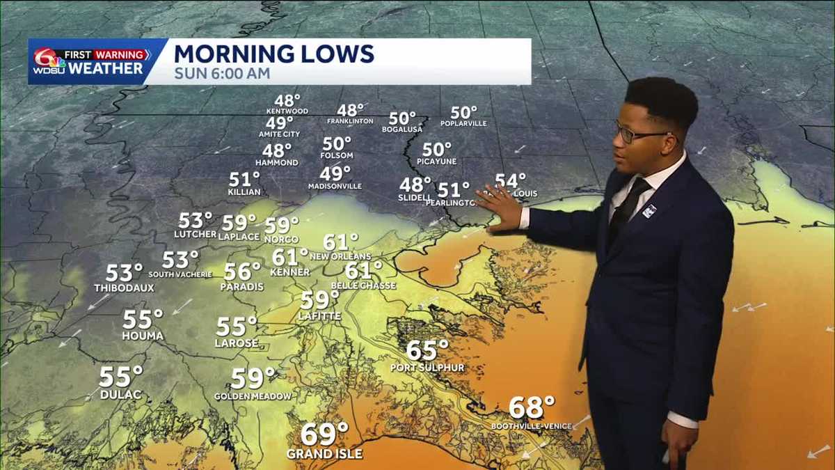 Chilly mornings return to Southeast Louisiana and Coastal Mississippi's weather forecast
Thanks to Friday's cold front, cooler air continues to move into the Deep South, including Southeast Louisiana and Coastal Mississippi. Temperatures across the Northshore Sunday morning will fall to the upper 40s and…
Air quality
Air quality is satisfactory, and air pollution poses little or no risk.
Forecast
- TueModerate (53)
- WedModerate (58)
- ThuModerate (64)
Lafayette, LA reporting area · 1 hr ago. Data from AirNow (EPA and its state, local and tribal partners); preliminary and subject to change.
Sun & moon
Almanac
MonthlyLafayette Regional Ap, records since 1893. Normals 1991–2020. Data from NOAA's Regional Climate Centers (ACIS).
Nearby
- New Iberia 31 km
- Opelousas 35 km
- Crowley 34 km
- Abbeville 30 km
- Youngsville 14 km
- Broussard 10 km
- Eunice 49 km
- Scott 7 km
- Carencro 11 km
- Breaux Bridge 13 km
- Rayne 24 km
- Ville Platte 57 km
Forecasters' discussion
From the National Weather Service office in LCH, issued 2 hrs ago
Key Messages
- No rain anticipated through the rest of the week with cool mornings and warm afternoons each day.
- Fire danger will remain elevated through this week with ongoing drought conditions and minimum RH values ranging as low as 25 - 35 percent during the afternoons.
- Northeast to East winds will remain elevated in the coastal waters.
Discussion
(Today through Monday) Issued at 1200 AM CDT Tue Oct 20 2026
A large high pressure cell presently centers over the Great Lakes region with modest ridging extending southward into the central Gulf waters. Concurrently the upper level pattern is developing a fairly sizable amplification into the Midwest. Temperatures will continue to rebound toward the low / mid 80s this afternoon with lows ranging from the low 50s to near 60F. Temperatures increase a little further Wednesday and Thursday with some locations potentially touching the upper 80s, however lows will trend about normal for this time of year. As the subtropical ridge builds throughout the week ahead, it will form an Omega Block into Friday. An Omega Block is a meteorological short term to describe when a ridge of high pressure is wedged in between two well pronounced or amplified shortwave troughs. Often this results in anomalously high rainfall or very dry weather depending on the location. For the Southeast Texas and Southwest Louisiana communities, it is unfortunate to say that we will lean in the dry portion of the pattern with the ridge amplifying west of the Mississippi Valley into Saturday.
During the weekend, the upper air pattern shows some smoothing of the ridge as it wanes to the SECONUS. The forecast area does not fully regain an onshore regime indicating humidity will remain low through the next seven days. Minimum afternoon RH is expected to range 25-40%. There is no meaningful rainfall in the full forecast while we remain under a significant amount of subsidence and dry air. Thus, the main weather concerns this week will be the worsening drought conditions and fire weather concerns. Although North to East winds will be generally light, dry fuels will be sensitive to ignition. Burn bans should be respected and even where permitted unnecessary burning is discouraged. The public is also encouraged to take extra steps to minimize sources of ignition such as properly discarding cigarette butts, keep chains from dragging, and monitor outdoor cooking apparatuses and machinery closely.
Kowalski / 30
Aviation
(18Z TAFS) Issued at 1142 AM CDT Tue Oct 20 2026
VFR conditions and light northeasterly winds are expected to prevail through the 18Z TAF period.
Marine
Issued at 1200 AM CDT Tue Oct 20 2026
Small Craft Advisory is in place until 1PM this afternoon for portions of the 20-60NM offshore waters. A moderate pressure gradient will remain across the coastal waters into mid week. Winds will be 15 to 25 knots over the gulf waters through mid day tomorrow and gradually decrease thereafter.
Forecasts, observations and alerts in the United States come from the National Weather Service (NOAA); radar from NOAA's Multi-Radar Multi-Sensor system; satellite imagery from NASA's Global Imagery Browse Services (GIBS) and NOAA's GOES satellites; the map from the U.S. Geological Survey's National Map; air quality from AirNow (EPA and its partners); hurricane information from the National Hurricane Center; climate normals and records from NOAA's Regional Climate Centers (ACIS). Forecasts outside the United States and the UV index: MET Norway (CC BY 4.0); observations outside the U.S.: airport reports via NOAA's Aviation Weather Center. Place names: GeoNames (CC BY 4.0). Data are copied on a schedule and may lag the sources; for warnings that affect your safety, follow your local National Weather Service office and emergency officials. Weather news is drawn from the 4Conservative index and reflects what the press published. Terms of use.