Install
Grand Bayou Mobile Home Park, LA Weather
Current conditions
Forecast for this hour (no station report in the last two hours)
Forecast
10-day-
Tonight
Partly cloudy, with a low around 59. Northeast wind 0 to 5 mph.
-
Tuesday
Mostly sunny. High near 81, with temperatures falling to around 76 in the afternoon. Northeast wind around 5 mph.
-
Tuesday Night
Partly cloudy, with a low around 59. East wind 0 to 5 mph.
National Weather Service forecast updated 8 hrs ago.
Hourly
Hourly forecast- Now64°
- 11 PM63°
- Tue12 AM62°
- 1 AM62°
- 2 AM62°
- 3 AM61°
- 4 AM61°
- 5 AM60°
- 6 AM60°
- 7 AM60°
- 8 AM64°
- 9 AM68°
- 10 AM73°
- 11 AM76°
- 12 PM78°
- 1 PM79°
- 2 PM79°
- 3 PM79°
- 4 PM78°
- 5 PM76°
- 6 PM72°
- 7 PM69°
- 8 PM67°
- 9 PM66°
10-day forecast
Details- TonightOct 26Partly Cloudy59°
- TueOct 27Mostly Sunny59°81°
- WedOct 28Sunny57°82°
- ThuOct 29Sunny61°81°
- FriOct 30Mostly Sunny15%65°82°
- SatOct 31Chance Showers And Thunderstorms39%67°83°
- SunNov 1Mostly Sunny10%65°85°
- MonNov 2Mostly Sunny85°
- TueNov 3Rain1.09 in65°83°
- WedNov 4Sunny0.20 in59°74°
Days after the National Weather Service's seven are MET Norway's outlook, a computer model with no forecaster's review.
Radar
Full mapWeather news in Louisiana
More weather news-
 What El Niño could mean for November weather in Southeast Louisiana and Southern Mississippi
NEW ORLEANS (WVUE) - November is a transition month - a time when summer’s heat finally loosens its grip and winter’s chill begins to creep in. But with El Niño in the picture, history suggests the month could bring…
-
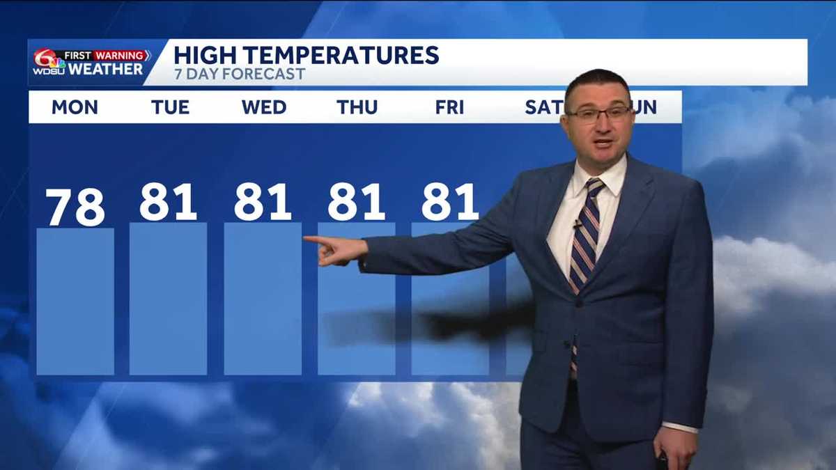 Cloudy skies but with no rain today across southeast Louisiana
Conditions will stay dry and quiet through at least the work week Skies will remain partly to mostly cloudy through today with high temperatures in the upper 70s to low 80s in the afternoon. Less clouds tomorrow with…
-
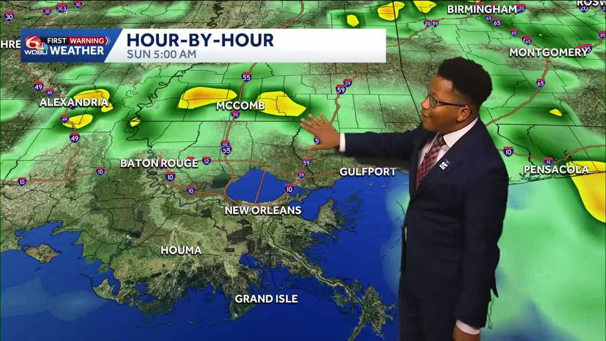 Louisiana's Halloween Forecast: Wet weather possible next weekend
Rain potential returns Halloween night, breaking a nearly month-long dry streak The prolonged period of dry weather across the region will continue through the workweek before a potential shift in the pattern arrives…
- Louisiana's weather: Drought, Halloween, and Saints in Paris Forecast
From football to parade plans, the weather cooperates! Expect a sunny Sunday with cooler temperatures after sunset Today marks the 20th day with no rain at the New Orleans Airport, representing ongoing drought…
-
 New weather warnings as third storm set to hit Scotland
Two new weather warnings have been issued as a third storm in a matter of days is set to batter Scotland. It comes as thousands of homes across the country remain without power in the aftermath of Storm Boelo. A yellow…
-
 Fresh warnings issued as strong winds and heavy rain forecast after two storms
Fresh weather warnings have been issued as strong winds and heavy rain are on the way after two storms battered Britain. Yellow wind warnings will be in place for western areas of the UK on Monday and Tuesday as gales…
-
 Stunning photos capture October's Hunter's Moon around the world
A good view for the passengers of this plane flying over San Francisco Bay in California, US The October full Moon lit up skies around the world this weekend. Full Moons throughout the year have traditionally been given…
- London set for 10 days of dry weather after storms wreak havoc
London is set for a period of dry weather, after two named storms caused havoc over the weekend. Storm Austen was swiftly followed by Storm Boelo, with thousands across the south of England left without power as 80mph…
-
 Vance no longer a hurricane but still threatens Mexico’s Pacific coast as a tropical storm
MIAMI — A gradually weakening Tropical Storm Vance churned Sunday off Mexico’s southwest Pacific coast but still threatened heavy rains and flash flooding in several western states of the country. Vance, a former…
-
 Martin's Haven
For more information, please see FAQs. Contains ADMIRALTY ® data: © Crown copyright and database right BBC Weather in association with MeteoGroup, external Copyright © 2026 BBC. The BBC is not ... Right now, the tide in…
Air quality
Air quality is satisfactory, and air pollution poses little or no risk.
Forecast
- MonModerate (53)
- TueModerate (55)
- WedModerate (58)
Thibodaux, LA reporting area · 1 hr ago. Data from AirNow (EPA and its state, local and tribal partners); preliminary and subject to change.
Sun & moon
Almanac
MonthlyThibodaux 4 Se, records since 1893. Normals 1991–2020. Data from NOAA's Regional Climate Centers (ACIS).
Nearby
- Kenner 52 km
- Houma 35 km
- Laplace 34 km
- Prairieville 48 km
- Bayou Cane 32 km
- Shenandoah 59 km
- Thibodaux 13 km
- Bayou Boeuf 18 km
- River Ridge 54 km
- Luling 40 km
- Morgan City 48 km
- Destrehan 41 km
Forecasters' discussion
From the National Weather Service office in LIX, issued 4 hrs ago
Key Messages
Updated at 611 PM CDT Mon Oct 26 2026
- Elevated fire danger will continue through mid-week. The ongoing drought conditions and dry fuels combined with low humidity and light to moderate winds will lead to potential for some fire spread. Residents should obey all burn bans in place and exercise extreme caution with any open flames outdoors even in areas that do not currently have burn bans in place.
- Strong winds will continue to result in hazardous conditions for small craft across most coastal waters of southeast Louisiana and Mississippi. Additional periods of strong winds could lead to the extension of small craft advisories later in the week.
Short Term
(Now through Thursday night) Issued at 1215 PM CDT Mon Oct 26 2026
Deep layer ridging will continue to dominate the region through tonight and tomorrow. At the same time, a broad area of low pressure centered over Greater Antilles and Bahamas will persist. This will result in continued east-northeast flow in the low levels, and this will hamper any form of low level moisture return into the area. PWATS will remain below average and cloud development will limited to only some passing high level cirrus and scattered fair weather cumulus. The large diurnal range in temperatures of 25 to 30 degrees due to the largely clear skies and very dry air will also continue. Lows will dip back into the low to mid 50s inland the upper 50s and lower 60s south of the lake and along the immediate coast. Highs will quickly rise into the upper 70s and lower 80s each afternoon. The dry airmass continues to be best reflected by the NBM 5th percentile values, and this is what is being used for the dewpoints through tomorrow.
Heading into Wednesday and Thursday the ridge axis will shift to the east toward Florida and the southeast states and a weak shortwave trough will slide around the periphery of the ridge and through the Lower Mississippi Valley during this time. However, continued east- northeast flow in the low levels will greatly limit any Gulf moisture return into the region. This will result in continued dry weather conditions across the area with nothing more than some passing high cloud cover expected each day. Given the continued high bias of the deterministic NBM output, have opted to continue using NBM 10th percentile values for dewpoints on Wednesday and Thursday.
Long Term
(Friday through Sunday night) Issued at 1215 PM CDT Mon Oct 26 2026
Conditions are looking a bit more favorable for our first decent chance of rain in a while as we move into the Halloween weekend. A vigorous southern stream shortwave trough axis will begin to eject out of the Four Corners region Friday. This system will slide through the Lower Mississippi Valley on Saturday before quickly shifting toward the eastern seaboard on Sunday. Favorable jet dynamics over the southern Plains will allow a weak area of low pressure to form along a nascent front on Friday. As the low deepens Friday into Friday night, low level winds will shift to the southeast and allow for Gulf moisture to feed back into the forecast area. PWATS will quickly climb to around 1.7 to 1.8 inches, or near the 90th percentile, by Friday afternoon and will then continue to rise to around 2 inches for Saturday. Weak upper level support and a mid-level cap will keep any rainfall at bay on Friday, but more favorable lift and the deeper moisture in place on Saturday will support the development of scattered showers. These showers should persist into Saturday night before increasing negative vorticity and dry air advection takes hold in the wake of the departing trough on Sunday leading to drier conditions. Fortunately, thunderstorm chances will be near zero over the weekend due to weak mid- level lapse rates greatly limiting overall instability. Beneficial rainfall of around a half to three quarters of an inch is currently expected with these showers on Saturday. The increased moisture and cloud cover will also keeps low temperatures a bit warmer in the 60s for each night while highs remain near or slightly above average in the low 80s.
Aviation
(00Z TAFS) Issued at 616 PM CDT Mon Oct 26 2026
VFR conditions will continue through this cycle with generally light easterly flow at or less than 10 knots expected. (Frye)
Forecasts, observations and alerts in the United States come from the National Weather Service (NOAA); radar from NOAA's Multi-Radar Multi-Sensor system; satellite imagery from NASA's Global Imagery Browse Services (GIBS) and NOAA's GOES satellites; the map from the U.S. Geological Survey's National Map; air quality from AirNow (EPA and its partners); hurricane information from the National Hurricane Center; climate normals and records from NOAA's Regional Climate Centers (ACIS). Forecasts outside the United States and the UV index: MET Norway (CC BY 4.0); observations outside the U.S.: airport reports via NOAA's Aviation Weather Center. Place names: GeoNames (CC BY 4.0). Data are copied on a schedule and may lag the sources; for warnings that affect your safety, follow your local National Weather Service office and emergency officials. Weather news is drawn from the 4Conservative index and reflects what the press published. Terms of use. How to use Weather