Install
Fort Polk North, LA Weather
Current conditions
Observed at De Ridder, Beauregard Parish Airport · 30 min ago
Forecast
10-day-
Tonight
Mostly cloudy, with a low around 54. East wind 0 to 5 mph.
-
Monday
Partly sunny, with a high near 81. East wind around 5 mph.
-
Monday Night
Mostly cloudy, with a low around 54. East wind 0 to 5 mph.
National Weather Service forecast updated 5 hrs ago.
Hourly
Hourly forecast- Now57°
- 2 AM55°
- 3 AM55°
- 4 AM55°
- 5 AM54°
- 6 AM54°
- 7 AM54°
- 8 AM54°
- 9 AM60°
- 10 AM67°
- 11 AM72°
- 12 PM76°
- 1 PM79°
- 2 PM79°
- 3 PM80°
- 4 PM81°
- 5 PM79°
- 6 PM78°
- 7 PM72°
- 8 PM65°
- 9 PM63°
- 10 PM61°
- 11 PM59°
- Tue12 AM58°
10-day forecast
Details- TonightOct 25Mostly Cloudy54°
- TodayOct 26Partly Sunny54°81°
- TueOct 27Mostly Sunny57°81°
- WedOct 28Sunny57°84°
- ThuOct 29Sunny57°84°
- FriOct 30Partly Sunny25%63°82°
- SatOct 31Rain Showers Likely57%65°83°
- SunNov 1Partly Sunny then Slight Chance Rain Showers20%86°
- MonNov 2Cloudy63°83°
- TueNov 3Cloudy0.02 in68°82°
Days after the National Weather Service's seven are MET Norway's outlook, a computer model with no forecaster's review.
Radar
Full mapWeather news in Louisiana
More weather news-
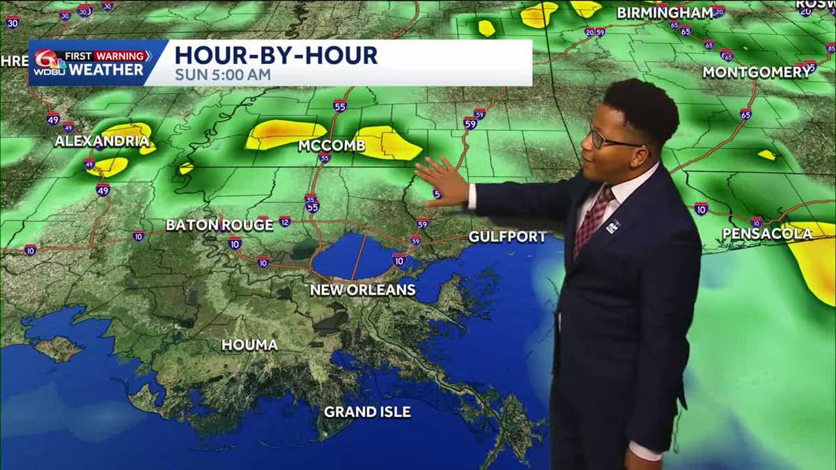 Louisiana's Halloween Forecast: Wet weather possible next weekend
Rain potential returns Halloween night, breaking a nearly month-long dry streak The prolonged period of dry weather across the region will continue through the workweek before a potential shift in the pattern arrives…
- Louisiana's weather: Drought, Halloween, and Saints in Paris Forecast
From football to parade plans, the weather cooperates! Expect a sunny Sunday with cooler temperatures after sunset Today marks the 20th day with no rain at the New Orleans Airport, representing ongoing drought…
-
 Louisiana's weather forecast: Dry, breezy weekend
Warm afternoons and cool nights continue, while dry conditions keep fire danger elevated across southeast Louisiana and southern Mississippi. Autumn is settling into southeast Louisiana, bringing pleasant mornings…
-
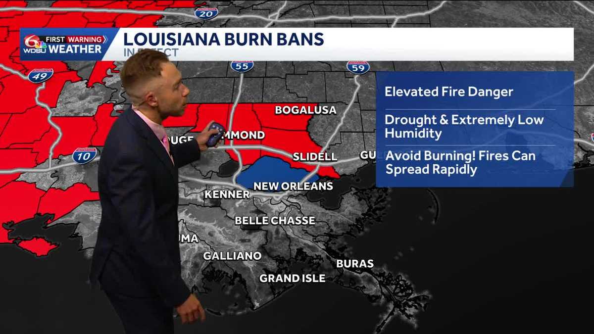 Gorgeous, dry weather continues! Worsening drought and increasing burn bans in Louisiana.
Highs in the upper 70s-low 80s with lots of sunshine on Friday Fall-Like Weather Settles In as Drought and Burn Bans Expand Louisiana will enjoy a stretch of sunshine, cooler nights and fall-like weather over the next…
-
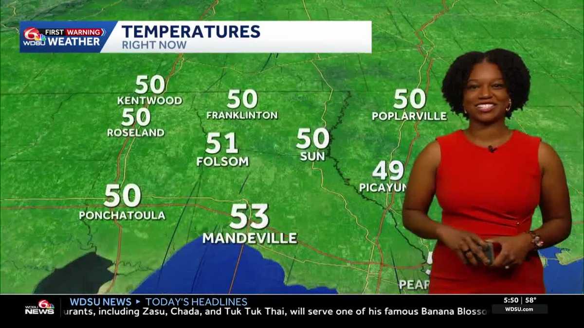 Southeast Louisiana weather: Sunny days, cool nights and growing fire concerns
The dry stretch continues into the weekend, with stronger breezes adding to fire concerns across southeast Louisiana and southern Mississippi. Sunny skies and warm afternoons stick around, but you may want a light…
-
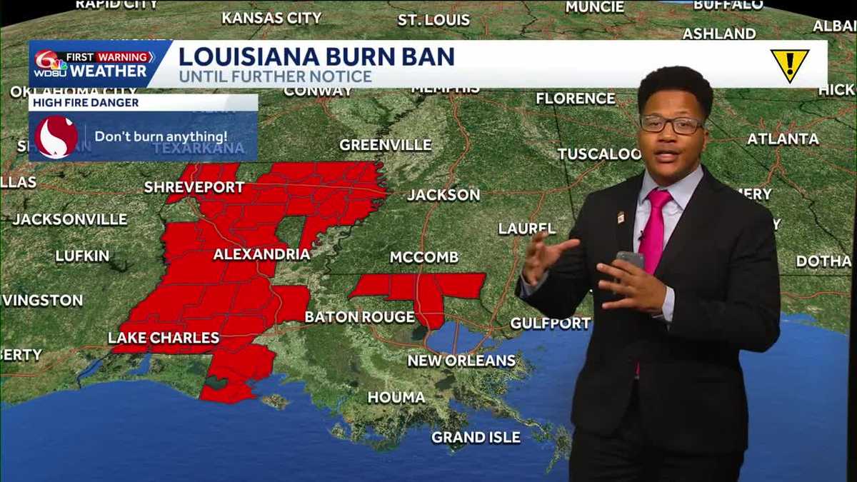 Louisiana's weather forecast: Slightly warmer and still dry
If you have outdoor plans over the next week, the weather should cooperate. A quiet and comfortable fall pattern is settling over southeast Louisiana, bringing plenty of sunshine, relatively low humidity and almost no…
-
 What an El Niño winter is likely to look like for Louisiana
fox8live.com What an El Niño winter is likely to look like for Louisiana Early evening weather update for Tuesday, Oct. 20 Early evening weather update for Monday, Oct. 19
-
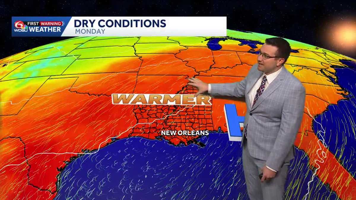 Sunny and mild days continue in southeast Louisiana
Sunny and mild days will continue in southeast Louisiana WDSU Sunny and mild days continue in southeast Louisiana Conditions will stay dry with near average temperatures over the next several days Skies will remain…
-
 Will Louisiana see snow this winter? NOAA weighs in
Reuters// October 20, 2026// The NOAA released its U.S. Winter Outlook, showing how a strong El Niño will influence the upcoming winter months. The El Niño is expected to shift the jet stream southward and eastward over…
-
 NOAA winter weather forecast calls for drought relief throughout Louisiana
NOAA’s winter outlook calls for wetter-than-normal conditions in Louisiana. LSU Health climatologist Barry Keim says that’s typical during El Niño winters. Keim says a strong El Niño strengthens the southerly jet…
Air quality
Forecast
- MonGood (50)
- TueModerate (53)
Alexandria, LA reporting area. Data from AirNow (EPA and its state, local and tribal partners); preliminary and subject to change.
Sun & moon
Almanac
MonthlyLeesville, records since 1903. Normals 1991–2020. Data from NOAA's Regional Climate Centers (ACIS).
Nearby
Forecasters' discussion
From the National Weather Service office in LCH, issued 49 min ago
Key Messages
- Warm afternoons and cool nights will continue through the week.
- Precipitation chances return next weekend.
- Wildfire risk will remain elevated this afternoon in response to worsening drought conditions and afternoon relative humidity dropping to 25-35%
Discussion
(Today through Sunday) Issued at 1202 AM CDT Mon Oct 26 2026
Scattered to broken high clouds continue to stream across the region this morning, a product of a trough axis moving northeast across central Texas. Upper level ridging remains centered overhead across the northern gulf coast where it's expected to remain through the week. At the surface, high pressure centered over the mid Atlantic will maintain a consistent east to east southeasterly wind through mid week. The slight southeasterly component is expected to increase dewpoints a bit Tuesday through the end of the week which may offer a bit of improvement in the ongoing wildfire risk, but very dry vegetation due to ongoing drought will still have the potential to catch fire easily.
Guidance has remained consistent in lifting an upper level trough out of Mexico and through Texas late this week into the weekend with the trough axis traversing the region Saturday. This does look to bring the first appreciable chance of precipitation seen in nearly two weeks, but there remains a high degree of uncertainty regarding how widespread any precip will be. While any rain will be beneficial, this disturbance is not expected to offer much in the way of drought relief with early QPF estimates generally running around a half inch or less.
Jones
Aviation
(06Z TAFS) Issued at 1202 AM CDT Mon Oct 26 2026
VFR conditions will prevail through the period. Some very patchy, shallow ground fog will again be possible early this morning although probabilities in any given location are only around 20%. Any fog that manages to develop will dissipate quickly after sunrise and should be gone no later than 13Z. An upper level trough axis over west Texas will continue to produce SCT to BKN Cirrus that will stream across the region through the day. At the surface, high pressure centered over the mid Atlantic will maintain consistent easterly winds between 5-10 knots through the day becoming light and variable tonight.
Jones
Marine
Issued at 1202 AM CDT Mon Oct 26 2026
Consistent easterly winds will weaken slightly to between 10-15 knots today where they are expected to remain through the week as a persistent pressure gradient between high pressure over the mid Atlantic and an area of low pressure near the Bahamas remains offshore. Near shore seas will range from 1-3 feet with 3-6 feet expected from 20-60 miles.
Forecasts, observations and alerts in the United States come from the National Weather Service (NOAA); radar from NOAA's Multi-Radar Multi-Sensor system; satellite imagery from NASA's Global Imagery Browse Services (GIBS) and NOAA's GOES satellites; the map from the U.S. Geological Survey's National Map; air quality from AirNow (EPA and its partners); hurricane information from the National Hurricane Center; climate normals and records from NOAA's Regional Climate Centers (ACIS). Forecasts outside the United States and the UV index: MET Norway (CC BY 4.0); observations outside the U.S.: airport reports via NOAA's Aviation Weather Center. Place names: GeoNames (CC BY 4.0). Data are copied on a schedule and may lag the sources; for warnings that affect your safety, follow your local National Weather Service office and emergency officials. Weather news is drawn from the 4Conservative index and reflects what the press published. Terms of use. How to use Weather