Install
Cut Off, LA Weather
Current conditions
Observed at Galliano, South Lafourche Airport · 1 hr ago
Forecast
10-day-
This Afternoon
Sunny. High near 80, with temperatures falling to around 78 in the afternoon. Northeast wind around 10 mph.
-
Tonight
Mostly clear, with a low around 57. Northeast wind 0 to 5 mph.
-
Thursday
Sunny. High near 82, with temperatures falling to around 80 in the afternoon. North wind around 5 mph.
National Weather Service forecast updated 12 hrs ago.
Hourly
Hourly forecast- Now79°
- 3 PM79°
- 4 PM79°
- 5 PM78°
- 6 PM76°
- 7 PM73°
- 8 PM69°
- 9 PM67°
- 10 PM66°
- 11 PM64°
- Thu12 AM63°
- 1 AM62°
- 2 AM60°
- 3 AM59°
- 4 AM58°
- 5 AM58°
- 6 AM57°
- 7 AM57°
- 8 AM59°
- 9 AM65°
- 10 AM72°
- 11 AM76°
- 12 PM79°
- 1 PM81°
10-day forecast
Details- TodayOct 21Sunny57°80°
- ThuOct 22Sunny57°82°
- FriOct 23Sunny61°82°
- SatOct 24Sunny58°79°
- SunOct 25Sunny59°76°
- MonOct 26Mostly Sunny58°79°
- TueOct 27Mostly Sunny59°80°
- WedOct 28Mostly sunny65°82°
- ThuOct 29Mostly sunny63°82°
- FriOct 30Cloudy64°82°
Days after the National Weather Service's seven are MET Norway's outlook, a computer model with no forecaster's review.
Radar
Full mapWeather news near Cut Off
More weather news-
 First rain of season coming to Bay Area, flash flood warning on coast
The Bay Bridge and buildings during rainy weather as seen from Treasure Island in San Francisco on Nov. 17, 2025. Days after hot and dry weather led to red flag warnings in the North Bay, the Bay Area is forecast to get…
-
 Colorado Springs weather: Clear skies, milder temperatures this week
Monday is expected to be sunny, with light, variable winds and a high in the upper 60s, said News 5 meteorologist Lauren Brand. “These calm conditions will last over the next few days as this ridge of high pressure…
- Lawn Mowing Cut-Off Dates Revealed as Garden Experts Issue Winter Frost Warning
As overnight temperatures drop toward freezing, garden blades cut too late can struggle to recover. Once local temperatures consistently fall below 7°C, grass slows its growth rate significantly, leaving open blade…
- Bay Area gets weather whiplash with first rain of the season expected this week
The Bay Bridge and buildings during rainy weather as seen from Treasure Island in San Francisco on Nov. 17, 2025. Days after hot and dry weather led to red flag warnings in the North Bay, the Bay Area is forecast to get…
-
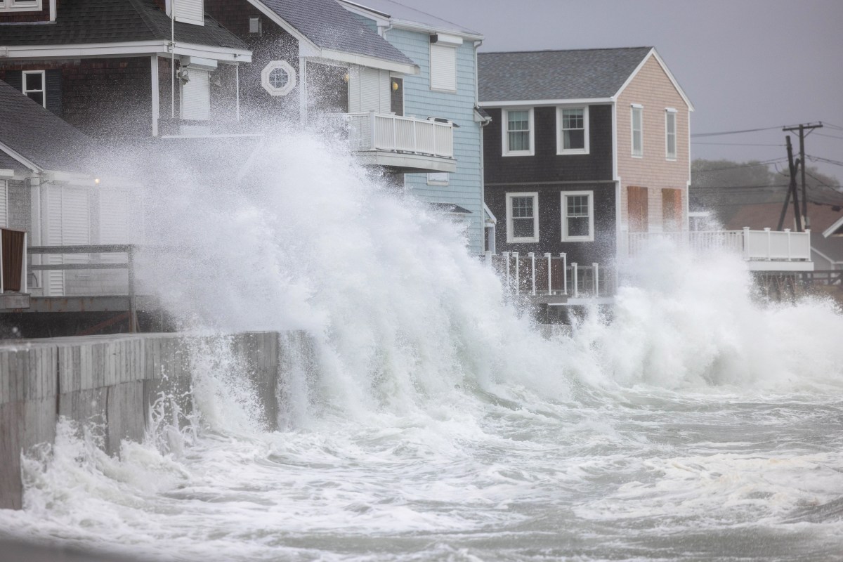 El Niño Could Leave the East Coast Facing Bigger Threat Than Hurricanes
Oct 17, 2026 at 07:29 PM EDT As a new nor'easter takes shape in the Atlantic, meteorologists are warning that the widespread impacts associated with such coastal storms could pose a greater threat to parts of the U.S…
-
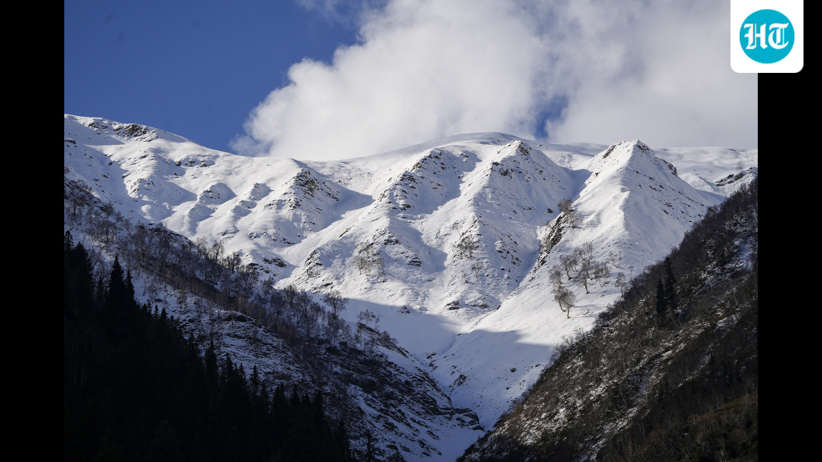 Sach Pass reopens after 2 day snowfall closure, bringing relief to Pangi Valley
Sach Pass, a vital road link which connects Pangi valley with the district headquarters in Chamba, has been cleared for the movement of small 4×4 vehicles, officials said on Saturday. However, the drivers have been…
-
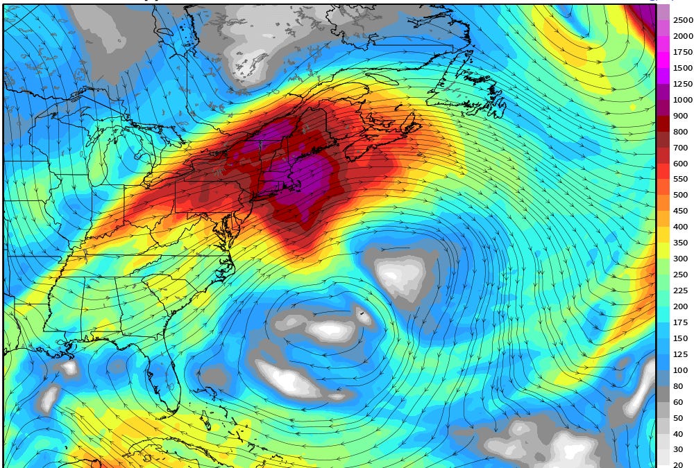 October 16, 2026 Friday Weather Update
This is Forecast Post number 1050 — Day 289 of 2026 Day 138 of Atlantic Hurricane Season | YTD: 9 Named Storms, ACE = 18.0 NE Pacific Hurricane Season: YTD: 22 Named Storms, ACE = 338 Author: Dr. Ryan Maue (X…
-
 Windy weather develops Saturday afternoon
MISSOULA — After several days of morning fog, seasonable temperatures, and light wind, the weather gets a bit more active tomorrow afternoon with strong winds in lower elevations. Gusts could reach near 30-40 MPH…
-
 Heavy rainfall threatens port and transport operations in East Africa
Maersk has warned customers of potential port and transport disruptions across East Africa through December 2026, following forecasts of above-average rainfall during the October–December season. In an advisory issued…
-
 'Special warning' alert for popular Spain holiday hotspots
Travellers heading to, or currently visiting, several popular Spanish destinations have been issued a "special warning". AEMET said that Storm Adam will bring heavy and prolonged rainfall. Fierce storms could begin as…
Air quality
Acceptable. Unusually sensitive people should consider limiting prolonged outdoor exertion.
Forecast
- WedGood (47)
- ThuModerate (53)
- FriModerate (56)
Thibodaux, LA reporting area · 1 hr ago. Data from AirNow (EPA and its state, local and tribal partners); preliminary and subject to change.
Sun & moon
Nearby
Forecasters' discussion
From the National Weather Service office in LIX, issued 9 hrs ago
Key Messages
Updated at 533 AM CDT Wed Oct 21 2026
- Conditions will remain somewhat favorable for the development of fires through the remainder of this week and into the weekend due to low humidity and drought/abnormally dry conditions across most of the area.
Short Term
(Now through Saturday) Issued at 212 AM CDT Wed Oct 21 2026
Very quiet forecast in hand with the main focus on temperatures and some fire weather concerns. The mid lvl ridging that was dominating the western Gulf and into the Lower MS Valley has shifted to the west and is expected to build over northern Mexico and western TX. The ridge will continue to build through the 2nd half of the work week and shift east a touch with the ridge axis extending NNE from the Big Bend region of TX through MN and just into Hudson Bay. This ridge will continue to dominate the region as it slides east becoming centered over the Lower MS Valley by Saturday. This will place the region under northwest flow today to the ridge centered almost directly over the region by Saturday leading to NNE winds aloft. What does this mean, look for warming temps and no rain. At the sfc broad high pressure will continue to dominate the region through Friday before becoming centered over the mid Atlantic/ northeast states tightening the pressure gradient this weekend. This will lead to light easterly to east- northeasterly winds through Friday and then slightly stronger winds this weekend. This will keep us from seeing any recovery in the LL through the short term portion of the forecast. With this there is some fire weather concerns and that will be covered in the fire weather portion of the discussion.
Overall the NBM looks like it finally adjusted a little lower with afternoon highs given with it had the previous night so with that very little if any adjustments made to the latest NBM forecast. Today's is much better than what it had the previous day and it much more in line with the thinking and the LL temps expected over the area. Highs yesterday struggle to get out of the 70s and with no significant increase in the LL temps for today the highs should be only a degree or two warmer and that is what the NBM has instead of the mid 80s it did have 24 hours earlier. The NBM may still be a touch warm tomorrow but it is atleast closer to current thinking so no to only very minor adjustments made from the NBM. Overnight lows will continue to range from the upper 40s to near 60 thanks to the very dry conditions and know recovery in dewpoints. /CAB/
Long Term
(Saturday night through Tuesday) Issued at 212 AM CDT Wed Oct 21 2026
On Sunday evening, an upper level trough will extend from the Atlantic Coast to Florida to the western Caribbean, with another over the Intermountain West. A skinny ridge will extend from the western Gulf and lower Mississippi River Valley to Lake Michigan. At the surface, high pressure centered near New York City will extend southwest into Texas.
The upper ridge will gradually break down by Tuesday, with troughing extending from the Great Lakes to Colorado. Forecast soundings indicate that we won't have any deep onshore flow through early next week. For most of that period, precipitable water values will remain below the climatologic mean for late October (1.1 inches) across large portions of the area. Current expectation is that any significant precipitation remains offshore through most of next week. Pressure gradient between surface high to our northeast and low pressure over the western Caribbean will mean a bit stronger winds over land areas south of Lake Pontchartrain, but especially so over the open coastal waters.
Temperature-wise, above normal highs are expected to continue, although there will be somewhat of a trend to drift back closer to normal for a day or two around Sunday. With dry air in place, overnight lows will probably be near or slightly before normal. Not a great deal of day to day variance in highs or lows. /RW/
Aviation
(12Z TAFS) Issued at 533 AM CDT Wed Oct 21 2026
All terminals are currently in VFR status however, some very shallow BR/FG may try to impact one or two sites as we cool down to the dewpoint. NBG which is not one of our TAF terminals, is on the westbank which like ASD and PQL has some cold air drainage potential and can cool quite efficiently (it is already 8 degrees cooler than MSY and 15 below NEW) is showing 4SM BR and can't completely rule out ASD or PQL possibly seeing shallow/ground fog leading to 4-5SM BR but both may need the temperature to drop a few more degrees to get that to occur otherwise VFR status will persist through the forecast. /CAB/
Forecasts, observations and alerts in the United States come from the National Weather Service (NOAA); radar from NOAA's Multi-Radar Multi-Sensor system; satellite imagery from NASA's Global Imagery Browse Services (GIBS) and NOAA's GOES satellites; the map from the U.S. Geological Survey's National Map; air quality from AirNow (EPA and its partners); hurricane information from the National Hurricane Center; climate normals and records from NOAA's Regional Climate Centers (ACIS). Forecasts outside the United States and the UV index: MET Norway (CC BY 4.0); observations outside the U.S.: airport reports via NOAA's Aviation Weather Center. Place names: GeoNames (CC BY 4.0). Data are copied on a schedule and may lag the sources; for warnings that affect your safety, follow your local National Weather Service office and emergency officials. Weather news is drawn from the 4Conservative index and reflects what the press published. Terms of use.