Install
Brownsfield, LA Weather
Current conditions
Observed at Baton Rouge, Baton Rouge Metropolitan, Ryan Field · 33 min ago
Forecast
10-day-
Today
Sunny. High near 82, with temperatures falling to around 79 in the afternoon. Northeast wind around 5 mph.
-
Tonight
Mostly clear, with a low around 52. Northeast wind 0 to 5 mph.
-
Thursday
Sunny. High near 85, with temperatures falling to around 82 in the afternoon. North wind 0 to 5 mph.
National Weather Service forecast updated 8 hrs ago.
Hourly
Hourly forecast- Now67°
- 11 AM72°
- 12 PM76°
- 1 PM79°
- 2 PM80°
- 3 PM81°
- 4 PM81°
- 5 PM79°
- 6 PM77°
- 7 PM73°
- 8 PM66°
- 9 PM64°
- 10 PM62°
- 11 PM60°
- Thu12 AM59°
- 1 AM57°
- 2 AM54°
- 3 AM54°
- 4 AM53°
- 5 AM53°
- 6 AM52°
- 7 AM52°
- 8 AM54°
- 9 AM60°
10-day forecast
Details- TodayOct 21Sunny52°82°
- ThuOct 22Sunny52°85°
- FriOct 23Sunny52°85°
- SatOct 24Sunny52°82°
- SunOct 25Sunny51°81°
- MonOct 26Mostly Sunny52°82°
- TueOct 27Sunny53°83°
- WedOct 28Partly cloudy60°82°
- ThuOct 29Mostly sunny58°82°
- FriOct 30Sunny59°84°
Days after the National Weather Service's seven are MET Norway's outlook, a computer model with no forecaster's review.
Radar
Full mapWeather news near Brownsfield
More weather news-
 Dry, sunny stretch locked in across Southeast Louisiana
NEW ORLEANS (WVUE) - Dry air and sunshine are locked in for the New Orleans area this afternoon. A light breeze will keep conditions comfortable across the metro, and no rain is on the way. Highs will warm back into the…
-
 Fall temperatures fade as heat builds back
BATON ROUGE, La. (WAFB) - After a nice, cooler weekend, temperatures will gradually warm back up this week as dry weather continues. After a chilly morning start in the upper 40s, temperatures will nicely warm into the…
-

-
 Fall temperatures return with elevated fire danger
BATON ROUGE, La. (WAFB) - A strong cold front has brought cooler temperatures and elevated fire weather concerns to south Louisiana. Windy conditions will continue behind the front, but winds should begin to ease by…
-
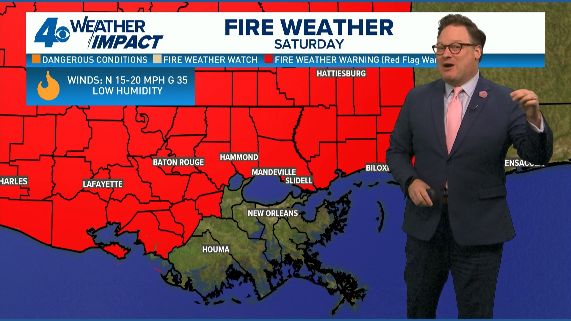 Red Flag Warning issued for parts of southeast Louisiana, southern Mississippi ahead of dry conditions
The National Weather Service has issued a Red Flag Warning for parts of southeast Louisiana and all of southern Mississippi on Friday. The warning is in effect from 9 a.m. until 8 p.m. on Saturday as forecasters say a…
-
 Cold snap, dry and windy weather bringing a fire watch to Baton Rouge this weekend
Sunflowers battle a breeze in a display field at the Corn Maze at Burden on Saturday, October 4, 2025 in Baton Rouge, Louisiana. The new East Baton Rouge Parish flag flaps in the wind as EBR Buildings and Grounds…
-
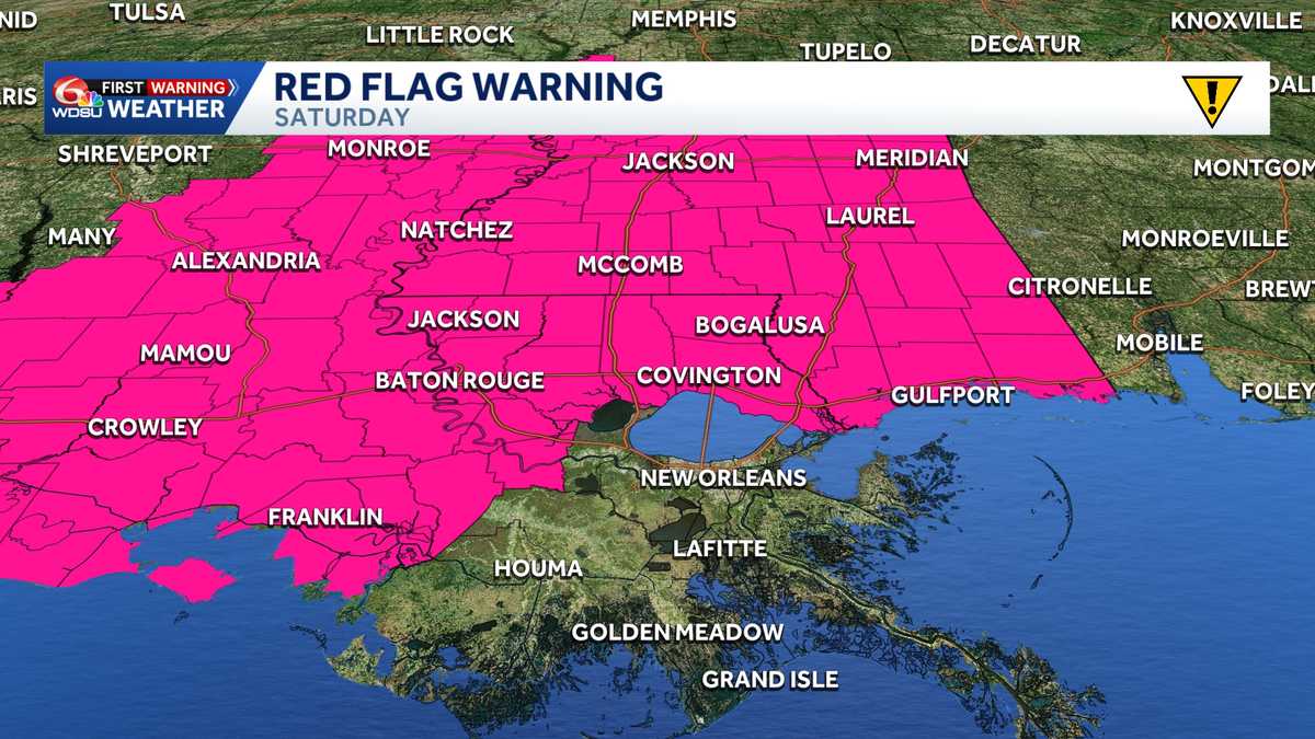 Impact Day Friday & Saturday: Red Flag Warning & Wind Advisory stretches across Southeast Louisiana
Red Flag Warning: Southeast Louisiana and Southern Mississippi Saturday The National Weather Service in New Orleans has issued a Red Flag Warning for all of southern Mississippi and parts of southeast Louisiana on…
-
 Strong cold front will change the game/season
BATON ROUGE, La. (WAFB) - A strong cold front will move through our region later today, moving much drier/windier conditions in, along with much cooler temps. HERE COMES THE COLD FRONT The timing of the frontal passage…
-
 Trudy strengthens to a hurricane as system nears Mexico’s coast with major storm expected
WAFB Trudy was located about 300 miles (480 kilometers) southwest of Acapulco, Mexico, with maximum sustained winds of 75 mph (120 kph), according to the U.S. National Hurricane Center in Miami. The hurricane was moving…
-
 Weekend cold front will bring lows in the 50s across south Louisiana. See your city's forecast.
Get your sweaters out. This weekend will finally bring some weather-related relief to residents across southeast Louisiana as a cold front pushes through the region and drops lows into the 50s, forecasters with the…
Air quality
Acceptable. Unusually sensitive people should consider limiting prolonged outdoor exertion.
Forecast
- WedModerate (55)
- ThuModerate (62)
Baton Rouge Area, LA reporting area · 1 hr ago. Data from AirNow (EPA and its state, local and tribal partners); preliminary and subject to change.
Sun & moon
Almanac
MonthlyBaton Rouge Area, records since 1892. Normals 1991–2020. Data from NOAA's Regional Climate Centers (ACIS).
Nearby
- Baton Rouge 13 km
- Central 8 km
- Prairieville 31 km
- Shenandoah 20 km
- Zachary 12 km
- Baker 6 km
- Gonzales 39 km
- Gardere 22 km
- Denham Springs 17 km
- Merrydale 5 km
- Oak Hills Place 21 km
- Donaldsonville 51 km
Forecasters' discussion
From the National Weather Service office in LIX, issued 4 hrs ago
Key Messages
Updated at 533 AM CDT Wed Oct 21 2026
- Conditions will remain somewhat favorable for the development of fires through the remainder of this week and into the weekend due to low humidity and drought/abnormally dry conditions across most of the area.
Short Term
(Now through Saturday) Issued at 212 AM CDT Wed Oct 21 2026
Very quiet forecast in hand with the main focus on temperatures and some fire weather concerns. The mid lvl ridging that was dominating the western Gulf and into the Lower MS Valley has shifted to the west and is expected to build over northern Mexico and western TX. The ridge will continue to build through the 2nd half of the work week and shift east a touch with the ridge axis extending NNE from the Big Bend region of TX through MN and just into Hudson Bay. This ridge will continue to dominate the region as it slides east becoming centered over the Lower MS Valley by Saturday. This will place the region under northwest flow today to the ridge centered almost directly over the region by Saturday leading to NNE winds aloft. What does this mean, look for warming temps and no rain. At the sfc broad high pressure will continue to dominate the region through Friday before becoming centered over the mid Atlantic/ northeast states tightening the pressure gradient this weekend. This will lead to light easterly to east- northeasterly winds through Friday and then slightly stronger winds this weekend. This will keep us from seeing any recovery in the LL through the short term portion of the forecast. With this there is some fire weather concerns and that will be covered in the fire weather portion of the discussion.
Overall the NBM looks like it finally adjusted a little lower with afternoon highs given with it had the previous night so with that very little if any adjustments made to the latest NBM forecast. Today's is much better than what it had the previous day and it much more in line with the thinking and the LL temps expected over the area. Highs yesterday struggle to get out of the 70s and with no significant increase in the LL temps for today the highs should be only a degree or two warmer and that is what the NBM has instead of the mid 80s it did have 24 hours earlier. The NBM may still be a touch warm tomorrow but it is atleast closer to current thinking so no to only very minor adjustments made from the NBM. Overnight lows will continue to range from the upper 40s to near 60 thanks to the very dry conditions and know recovery in dewpoints. /CAB/
Long Term
(Saturday night through Tuesday) Issued at 212 AM CDT Wed Oct 21 2026
On Sunday evening, an upper level trough will extend from the Atlantic Coast to Florida to the western Caribbean, with another over the Intermountain West. A skinny ridge will extend from the western Gulf and lower Mississippi River Valley to Lake Michigan. At the surface, high pressure centered near New York City will extend southwest into Texas.
The upper ridge will gradually break down by Tuesday, with troughing extending from the Great Lakes to Colorado. Forecast soundings indicate that we won't have any deep onshore flow through early next week. For most of that period, precipitable water values will remain below the climatologic mean for late October (1.1 inches) across large portions of the area. Current expectation is that any significant precipitation remains offshore through most of next week. Pressure gradient between surface high to our northeast and low pressure over the western Caribbean will mean a bit stronger winds over land areas south of Lake Pontchartrain, but especially so over the open coastal waters.
Temperature-wise, above normal highs are expected to continue, although there will be somewhat of a trend to drift back closer to normal for a day or two around Sunday. With dry air in place, overnight lows will probably be near or slightly before normal. Not a great deal of day to day variance in highs or lows. /RW/
Aviation
(12Z TAFS) Issued at 533 AM CDT Wed Oct 21 2026
All terminals are currently in VFR status however, some very shallow BR/FG may try to impact one or two sites as we cool down to the dewpoint. NBG which is not one of our TAF terminals, is on the westbank which like ASD and PQL has some cold air drainage potential and can cool quite efficiently (it is already 8 degrees cooler than MSY and 15 below NEW) is showing 4SM BR and can't completely rule out ASD or PQL possibly seeing shallow/ground fog leading to 4-5SM BR but both may need the temperature to drop a few more degrees to get that to occur otherwise VFR status will persist through the forecast. /CAB/
Forecasts, observations and alerts in the United States come from the National Weather Service (NOAA); radar from NOAA's Multi-Radar Multi-Sensor system; satellite imagery from NASA's Global Imagery Browse Services (GIBS) and NOAA's GOES satellites; the map from the U.S. Geological Survey's National Map; air quality from AirNow (EPA and its partners); hurricane information from the National Hurricane Center; climate normals and records from NOAA's Regional Climate Centers (ACIS). Forecasts outside the United States and the UV index: MET Norway (CC BY 4.0); observations outside the U.S.: airport reports via NOAA's Aviation Weather Center. Place names: GeoNames (CC BY 4.0). Data are copied on a schedule and may lag the sources; for warnings that affect your safety, follow your local National Weather Service office and emergency officials. Weather news is drawn from the 4Conservative index and reflects what the press published. Terms of use.