Install
Abita Springs, LA Weather
Current conditions
Observed at Slidell, Slidell Airport · 1 hr ago
Forecast
10-day-
Sunday Night
Partly cloudy, with a low around 52. Northeast wind 0 to 5 mph.
-
Monday
Mostly sunny, with a high near 81. East wind around 5 mph.
-
Monday Night
Partly cloudy, with a low around 51. East wind 0 to 5 mph.
National Weather Service forecast updated 3 days ago.
Hourly
Hourly forecast- Now54°
- 5 AM53°
- 6 AM52°
- 7 AM52°
- 8 AM56°
- 9 AM61°
- 10 AM66°
- 11 AM71°
- 12 PM75°
- 1 PM78°
- 2 PM80°
- 3 PM81°
- 4 PM80°
- 5 PM78°
- 6 PM75°
- 7 PM71°
- 8 PM66°
- 9 PM62°
- 10 PM59°
- 11 PM58°
- Tue12 AM57°
- 1 AM57°
- 2 AM56°
- 3 AM55°
10-day forecast
Details- TonightOct 22Clear52°
- FriOct 23Sunny52°84°
- SatOct 24Sunny50°81°
- SunOct 25Sunny52°81°
- TodayOct 26Mostly Sunny51°81°
- TueOct 27Mostly Sunny51°82°
- WedOct 28Mostly Sunny50°82°
- ThuOct 29Sunny82°
- FriOct 30Sunny56°82°
- SatOct 31Heavy rain0.52 in64°74°
Days after the National Weather Service's seven are MET Norway's outlook, a computer model with no forecaster's review.
Radar
Full mapWeather news in Louisiana
More weather news-
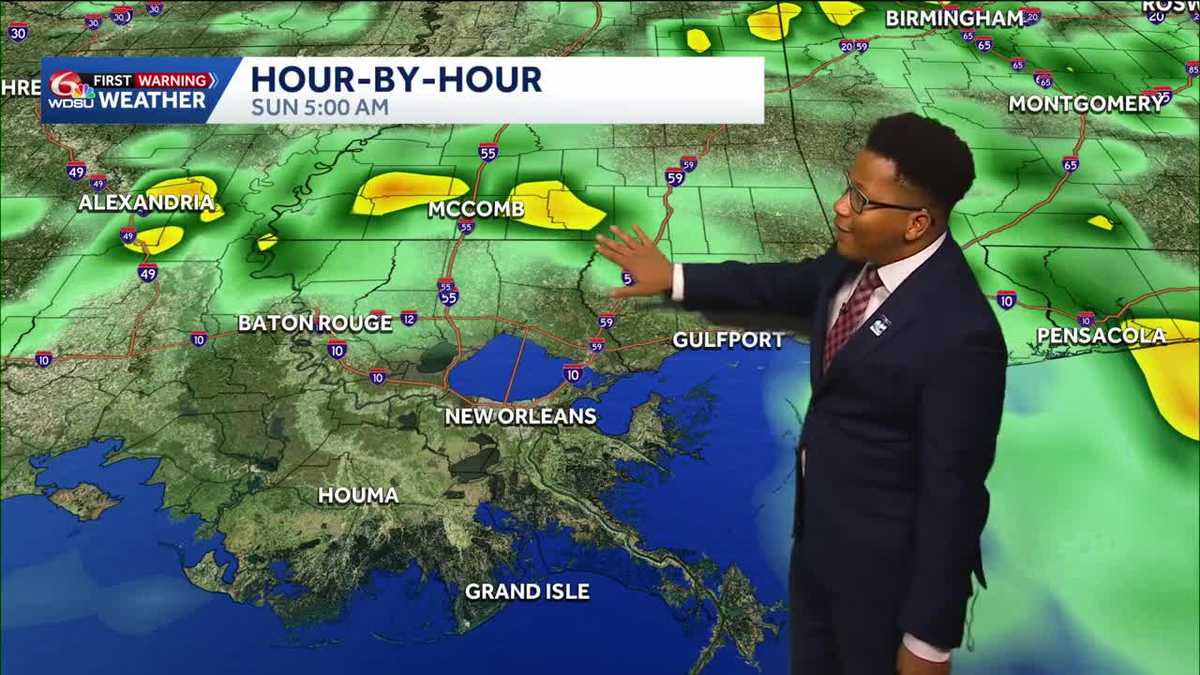 Louisiana's Halloween Forecast: Wet weather possible next weekend
Rain potential returns Halloween night, breaking a nearly month-long dry streak The prolonged period of dry weather across the region will continue through the workweek before a potential shift in the pattern arrives…
- Louisiana's weather: Drought, Halloween, and Saints in Paris Forecast
From football to parade plans, the weather cooperates! Expect a sunny Sunday with cooler temperatures after sunset Today marks the 20th day with no rain at the New Orleans Airport, representing ongoing drought…
-
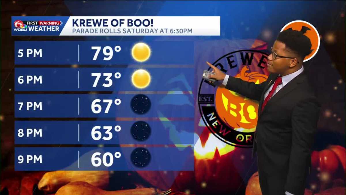 Louisiana's weather forecast: Dry, breezy weekend
Warm afternoons and cool nights continue, while dry conditions keep fire danger elevated across southeast Louisiana and southern Mississippi. Autumn is settling into southeast Louisiana, bringing pleasant mornings…
-
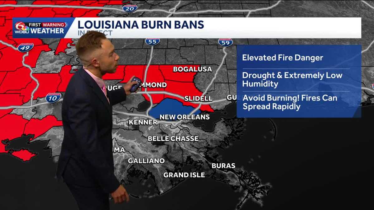 Gorgeous, dry weather continues! Worsening drought and increasing burn bans in Louisiana.
Highs in the upper 70s-low 80s with lots of sunshine on Friday Fall-Like Weather Settles In as Drought and Burn Bans Expand Louisiana will enjoy a stretch of sunshine, cooler nights and fall-like weather over the next…
-
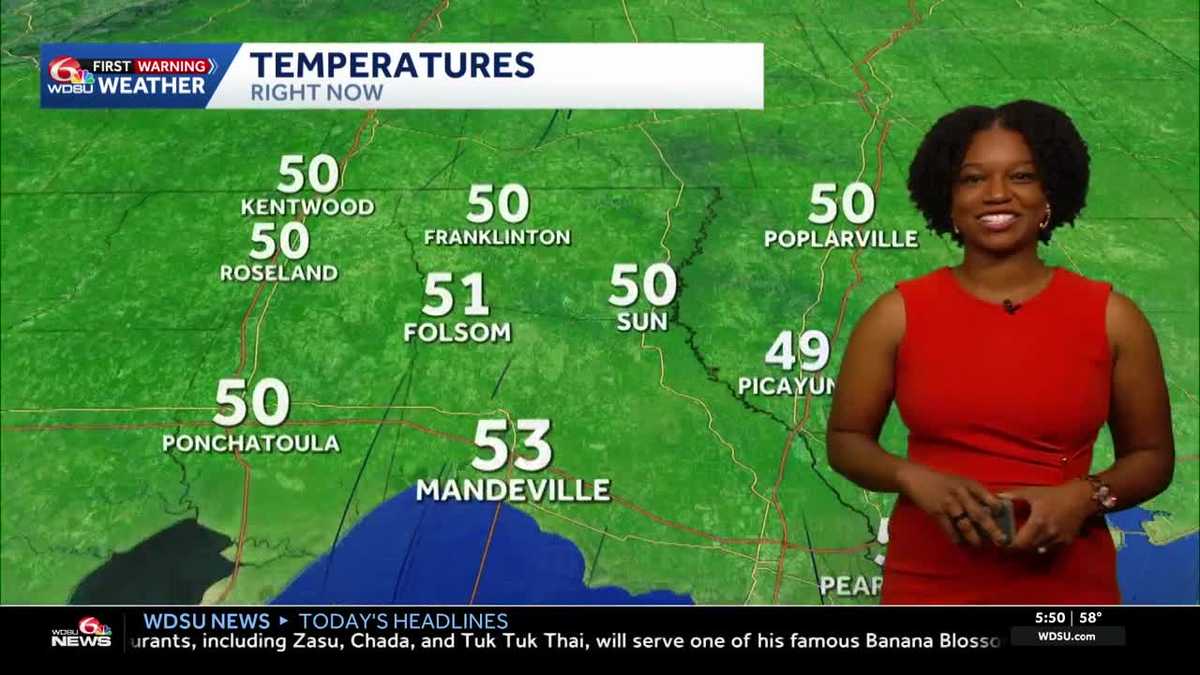 Southeast Louisiana weather: Sunny days, cool nights and growing fire concerns
The dry stretch continues into the weekend, with stronger breezes adding to fire concerns across southeast Louisiana and southern Mississippi. Sunny skies and warm afternoons stick around, but you may want a light…
-
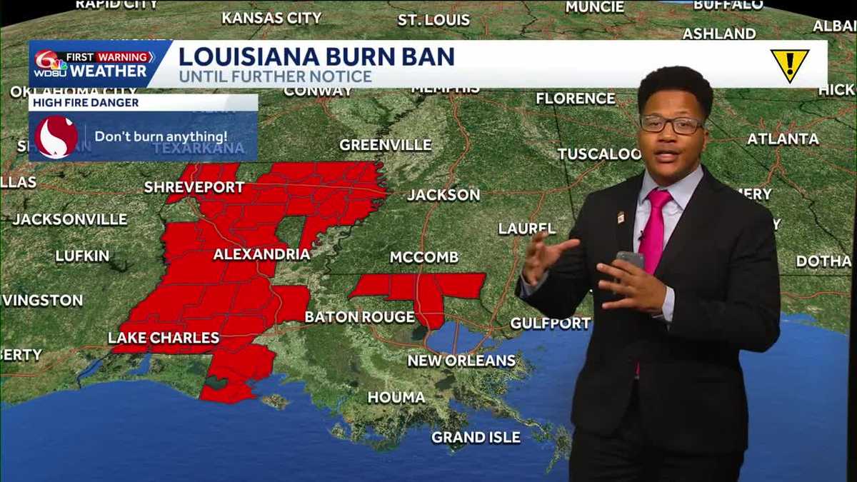 Louisiana's weather forecast: Slightly warmer and still dry
If you have outdoor plans over the next week, the weather should cooperate. A quiet and comfortable fall pattern is settling over southeast Louisiana, bringing plenty of sunshine, relatively low humidity and almost no…
-
 What an El Niño winter is likely to look like for Louisiana
fox8live.com What an El Niño winter is likely to look like for Louisiana Early evening weather update for Tuesday, Oct. 20 Early evening weather update for Monday, Oct. 19
-
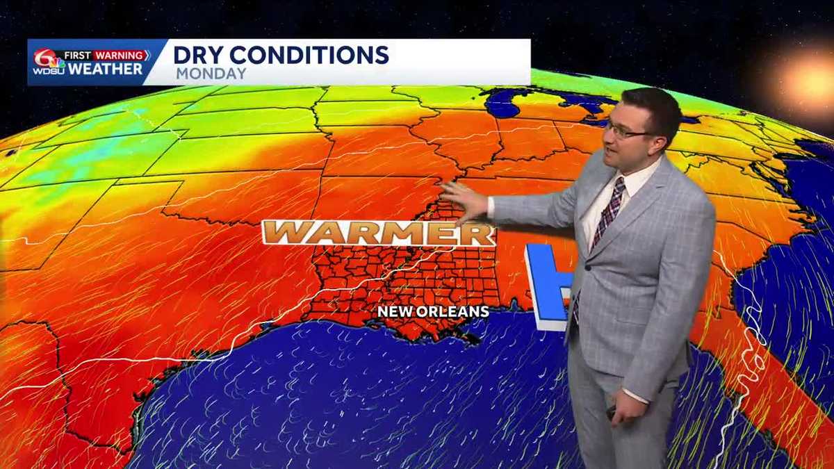 Sunny and mild days continue in southeast Louisiana
Sunny and mild days will continue in southeast Louisiana WDSU Sunny and mild days continue in southeast Louisiana Conditions will stay dry with near average temperatures over the next several days Skies will remain…
-
 Will Louisiana see snow this winter? NOAA weighs in
Reuters// October 20, 2026// The NOAA released its U.S. Winter Outlook, showing how a strong El Niño will influence the upcoming winter months. The El Niño is expected to shift the jet stream southward and eastward over…
-
 NOAA winter weather forecast calls for drought relief throughout Louisiana
NOAA’s winter outlook calls for wetter-than-normal conditions in Louisiana. LSU Health climatologist Barry Keim says that’s typical during El Niño winters. Keim says a strong El Niño strengthens the southerly jet…
Air quality
Air quality is satisfactory, and air pollution poses little or no risk.
Forecast
- MonGood (50)
- TueModerate (53)
New Orleans, LA reporting area · 1 hr ago. Data from AirNow (EPA and its state, local and tribal partners); preliminary and subject to change.
Sun & moon
Almanac
MonthlySlidell Ap, records since 1994. Normals 1991–2020. Data from NOAA's Regional Climate Centers (ACIS).
Nearby
Forecasters' discussion
From the National Weather Service office in LIX, issued 4 hrs ago
Key Messages
Updated at 1138 PM CDT Sun Oct 25 2026
- Elevated fire danger will continue through mid-week. The ongoing drought conditions and dry fuels combined with low humidity and light to moderate winds will lead to potential for some fire spread. Residents should obey all burn bans in place and exercise extreme caution with any open flames outdoors even in areas that do not currently have burn bans in place.
- Strong winds will continue to result in hazardous conditions for small craft across most coastal waters of southeast Louisiana and Mississippi. Additional periods of strong winds could lead to the extention of small craft advisories later in the week.
Short Term
(Now through Thursday) Issued at 1138 PM CDT Sun Oct 25 2026
October has remained true to its climate form and continues to be very dry so far. With only 5 more days left, there does not look to be much of a case to get any meaningful rainfall to cause this October to move to the wet side of climo. Things will change as we move into the winter months though. The short term still remains dry through at least Thursday. The biggest issue with the dry wx is fire concerns.
Long Term
(Thursday night through Sunday) Issued at 1138 PM CDT Sun Oct 25 2026
Longer term forecast continues to look pretty quiet as stubborn high pressure dominates the southeastern CONUS. However, by the start of the long term the controlling ridge will have moved slowly to the east leaving trailing shortwave with return flow to undercut the upper ridging by the weekend. Generally speaking though, air mass should remain pretty dry through the period with some 30-40% PoPs Saturday into Sunday. Any associated rain looks to be under a quarter inch and likely less than a tenth. So, we will continue monitoring trends regarding the potential for a frontal passage in early November and rain, but the bottom line - it doesn't look like we'll have any meaningful rainfall for at least the next week.
Diurnal ranges will continue to be fairly large with lows in the 50s and lower 60s area-wide and highs in the low to mid 80s most places.
Aviation
(06Z TAFS) Issued at 1138 PM CDT Sun Oct 25 2026
VFR through this cycle for most terminals. Cloud cover may be just thick enough to keep IFR fog from forming at main terminals, but there could be a few sites that drop into IFR levels temporarily. This will be quickly remedied shortly after sunrise today and again Wed.
Forecasts, observations and alerts in the United States come from the National Weather Service (NOAA); radar from NOAA's Multi-Radar Multi-Sensor system; satellite imagery from NASA's Global Imagery Browse Services (GIBS) and NOAA's GOES satellites; the map from the U.S. Geological Survey's National Map; air quality from AirNow (EPA and its partners); hurricane information from the National Hurricane Center; climate normals and records from NOAA's Regional Climate Centers (ACIS). Forecasts outside the United States and the UV index: MET Norway (CC BY 4.0); observations outside the U.S.: airport reports via NOAA's Aviation Weather Center. Place names: GeoNames (CC BY 4.0). Data are copied on a schedule and may lag the sources; for warnings that affect your safety, follow your local National Weather Service office and emergency officials. Weather news is drawn from the 4Conservative index and reflects what the press published. Terms of use. How to use Weather