Install
Fort Scott, KS Weather
Current conditions
Observed at Atkinson Municipal Airport · 1 hr ago
Forecast
10-day-
Today
Partly sunny, with a high near 79. South wind 2 to 6 mph.
-
Tonight
Mostly cloudy. Low around 55, with temperatures rising to around 57 overnight. Southeast wind around 3 mph.
-
Monday
Mostly sunny. High near 77, with temperatures falling to around 75 in the afternoon. South wind 3 to 8 mph.
National Weather Service forecast updated 7 hrs ago.
Hourly
Hourly forecast- Now55°
- 9 AM58°
- 10 AM64°
- 11 AM69°
- 12 PM73°
- 1 PM76°
- 2 PM77°
- 3 PM78°
- 4 PM79°
- 5 PM78°
- 6 PM76°
- 7 PM72°
- 8 PM66°
- 9 PM64°
- 10 PM63°
- 11 PM62°
- Mon12 AM61°
- 1 AM60°
- 2 AM59°
- 3 AM59°
- 4 AM58°
- 5 AM57°
- 6 AM56°
- 7 AM55°
10-day forecast
Details- TodayOct 25Partly Sunny55°79°
- MonOct 26Mostly Sunny55°77°
- TueOct 27Mostly Cloudy10%57°75°
- WedOct 28Sunny59°79°
- ThuOct 29Sunny60°81°
- FriOct 30Partly Sunny then Slight Chance Rain Showers25%59°78°
- SatOct 31Chance Rain Showers49%59°75°
- SunNov 1Cloudy56°70°
- MonNov 2Rain0.48 in60°70°
- TueNov 3Heavy rain0.94 in60°69°
Days after the National Weather Service's seven are MET Norway's outlook, a computer model with no forecaster's review.
Radar
Full mapWeather news in Kansas
More weather news-
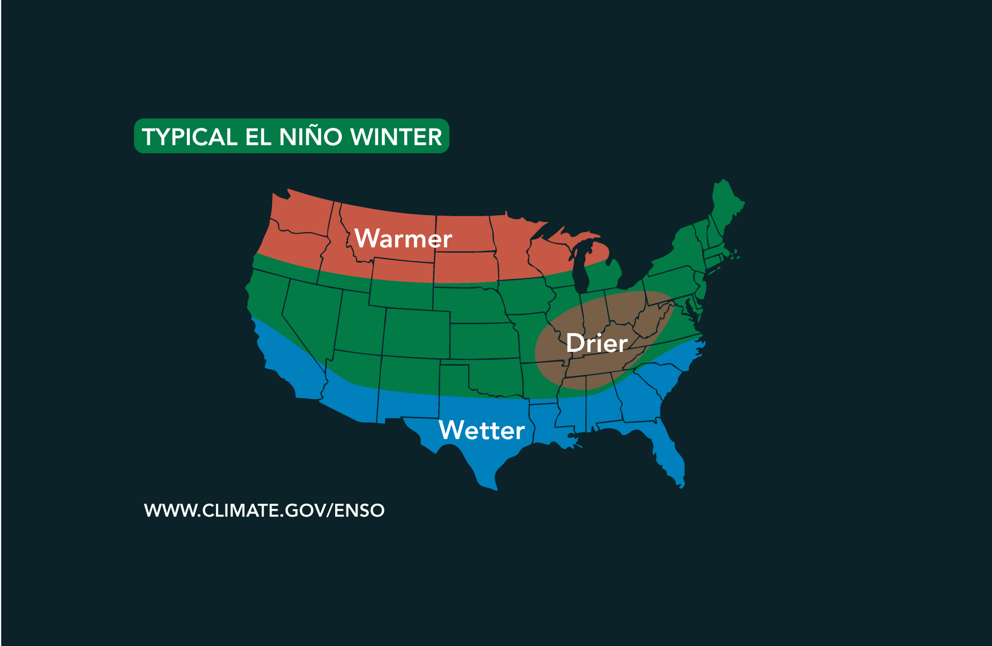 Potential El Niño to affect Kansas agriculture
Student critically injured after falling 70 feet in effort to avoid incoming vehicle • 2338 views College of Arts and Sciences to face future budget cuts • 2090 views K-State President Richard Linton to leave Wildcats…
-
 #Drought news October 22, 2026: Improvements occurred across portions of #Kansas, #Nebraska, #Colorado, #Wyoming, #Utah, #Arizona and #NewMexico
Drought news October 22, 2026: Improvements occurred across portions of #Kansas, #Nebraska, #Colorado, #Wyoming, #Utah, #Arizona and #NewMexico coyotegulch.blog Click on a thumbnail graphic to view a gallery of drought…
-
 30 years since ‘October Surprise’ snowstorm hit Kansas City
KANSAS CITY, Mo. -- The thought of snow this October seems far away with the first part of the month still feeling like summer with temperatures reaching 90 degrees and severe weather last week. Thursday marks 30 years…
-
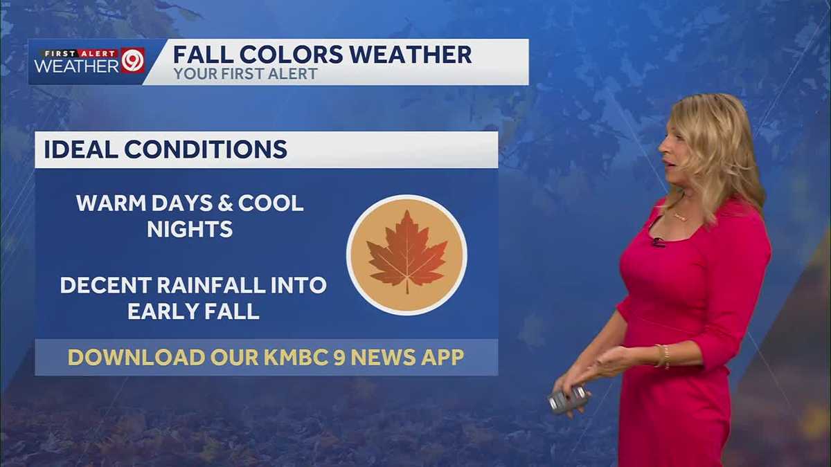 More sunny and warm weather in Kansas City
Wed: rain is falling from clouds this morning but only a few sprinkles will make it through the dry air. Clouds will clear this afternoon. High 75. Thu-Sun: Lows 50’s, Highs upper 70’s. Light South breeze under 10 mph…
-
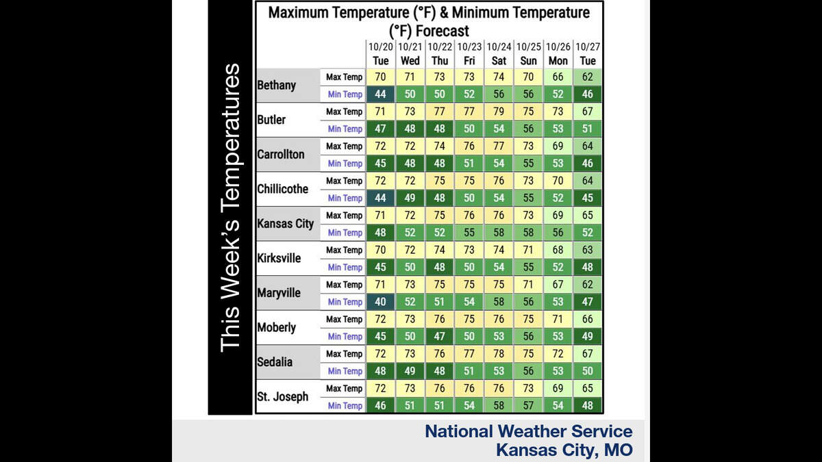 Kansas City’s warm, mostly dry stretch lasts through Sunday. What comes next?
Fall temperatures are climbing in Kansas City again Tuesday, with warmer-than-normal weather expected through the weekend, the National Weather Service says. Skies will become increasingly cloudy as metro temperatures…
-
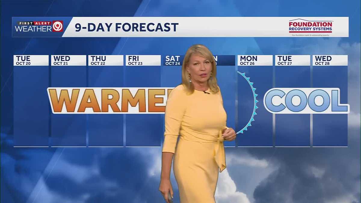 Warming trend continues for Kansas City
You may encounter a stray sprinkle but otherwise, we continue a warming trend KMBC Tuesday: mix sun and clouds. High 70, wind: S 5-10 mph Wed: Partly cloudy 51/73 Wind: S 5 mph Thu: Mostly sunny: 52/75 wind: SSE 5-10 mph
-
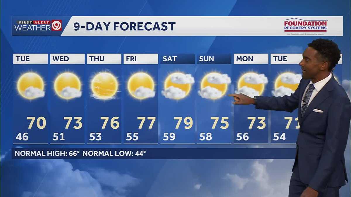 After a cool few days, warmer temperatures return starting Tuesday in Kansas City
After some cool and comfortable fall temperatures, things start to warm up once again for the rest of the week! Expect sunshine and dry conditions for the next few days. Tuesday will be partly cloudy with highs in the…
-
 KSHB 41 Weather | Sunshine and highs in the 60s Sunday in Kansas City
KSHB 41 Weather | Sunshine and highs in the 60s Sunday KSHB 41 Kansas City KSHB 41 Weather | Sunshine and highs in the 60s Sunday in Kansas City KANSAS CITY, Mo. — Hosting an event or gathering? Send your weather…
Air quality
Acceptable. Unusually sensitive people should consider limiting prolonged outdoor exertion.
El Dorado Springs, MO reporting area · 1 hr ago. Data from AirNow (EPA and its state, local and tribal partners); preliminary and subject to change.
Sun & moon
Almanac
MonthlyNevada Water Plant, records since 1898. Normals 1991–2020. Data from NOAA's Regional Climate Centers (ACIS).
Nearby
Forecasters' discussion
From the National Weather Service office in SGF, issued 2 hrs ago
Key Messages
- Above normal temperatures likely for the next week. Highs in the middle 70s to around 80 and dry weather are expected through the end of next week.
Short Term
Issued at 318 AM CDT Sun Oct 25 2026
It's a mostly clear and cool night early this morning as the ridge of high pressure persists over the Gulf up through the Midwest to the Great Lakes region. Temperatures will continue to cool until sunrise, hitting lows in the upper 40s to mid 50s once again. Temperatures will rise quickly, into the upper 70s to around 80 for highs again today. Shortwave energy ever so slowly draws closer, but is not expected to result in precipitation. However, it does look to cause some weak height falls that result in slightly lower highs Monday, in the mid to upper 70s. Normal highs are around the mid 60s, making these temperatures still quite a bit above normal.
This dry airmass is allowing for minimum afternoon relative humidity to get quite low, however very light southeast winds have kept fire danger to a minimum. The upper level disturbance passing by Monday is quite weak, and thankfully does not act to strengthen the pressure gradient any notable amount. Low temperatures both tonight and Monday night will still be the upper 40s to mid 50s values we've been seeing lately.
Long Term
Issued at 318 AM CDT Sun Oct 25 2026
Tuesday, the upper low over the west lifts north and east, beginning to flatten the ridge as more shortwave energy lifts northeast through Missouri. This will result in another slight decrease to afternoon highs, with most topping out in the mid 70s. Moisture is still pretty meager, though the NBM has increased the spatial extent of ~20% PoPs in eastern Kansas early Tuesday morning (largely outside of the SGF CWA). Otherwise, Tuesday will be pretty similar with light south/southeast winds and high clouds.
Wednesday, flow begins to take on more of a southwesterly component. Though the ridging will have begun breaking down, the WAA will allow highs to warm up to near 80 once again. This continues Thursday, which looks to be the hottest day of the week with widespread highs in the low 80s.
Troughing will continue to try and get established with various shortwaves passing by, and moisture will continue to be pulled up from the Gulf. There are still timing differences at this lead time, but it looks like by the end of the week we may finally have a sufficient combination of moisture and forcing to bring widespread rain to the area. At the moment, the NBM has those chances topping out around 50% Saturday morning, though some other global ensembles are indicating it could be slightly later.
Aviation
Issued at 616 AM CDT Sun Oct 25 2026
VFR conditions expected through the period. High cloud cover around FL250 increasing after 06Z with light southeasterly surface winds.
Forecasts, observations and alerts in the United States come from the National Weather Service (NOAA); radar from NOAA's Multi-Radar Multi-Sensor system; satellite imagery from NASA's Global Imagery Browse Services (GIBS) and NOAA's GOES satellites; the map from the U.S. Geological Survey's National Map; air quality from AirNow (EPA and its partners); hurricane information from the National Hurricane Center; climate normals and records from NOAA's Regional Climate Centers (ACIS). Forecasts outside the United States and the UV index: MET Norway (CC BY 4.0); observations outside the U.S.: airport reports via NOAA's Aviation Weather Center. Place names: GeoNames (CC BY 4.0). Data are copied on a schedule and may lag the sources; for warnings that affect your safety, follow your local National Weather Service office and emergency officials. Weather news is drawn from the 4Conservative index and reflects what the press published. Terms of use. How to use Weather