Install
Oakland City, IN Weather
Current conditions
Observed at Huntingburg · 1 hr ago
Forecast
10-day-
Monday Night
Mostly cloudy, with a low around 48. Northeast wind around 1 mph.
-
Tuesday
Partly sunny, with a high near 73. East southeast wind 0 to 3 mph.
-
Tuesday Night
Mostly cloudy, with a low around 49. East wind around 3 mph.
National Weather Service forecast updated 4 days ago.
Hourly
Hourly forecast- Now51°
- 4 AM50°
- 5 AM49°
- 6 AM48°
- 7 AM49°
- 8 AM52°
- 9 AM57°
- 10 AM61°
- 11 AM65°
- 12 PM68°
- 1 PM70°
- 2 PM72°
- 3 PM73°
- 4 PM72°
- 5 PM70°
- 6 PM67°
- 7 PM63°
- 8 PM60°
- 9 PM57°
- 10 PM55°
- 11 PM54°
- Wed12 AM53°
- 1 AM53°
- 2 AM52°
10-day forecast
Details- TonightOct 22Clear45°
- FriOct 23Sunny46°72°
- SatOct 24Sunny46°73°
- SunOct 25Sunny47°75°
- MonOct 26Mostly Sunny48°75°
- TodayOct 27Partly Sunny49°73°
- WedOct 28Partly Sunny48°71°
- ThuOct 29Slight Chance Rain Showers15%72°
- FriOct 30Cloudy0.09 in50°62°
- SatOct 31Light rain0.11 in50°69°
Days after the National Weather Service's seven are MET Norway's outlook, a computer model with no forecaster's review.
Radar
Full mapWeather news in Indiana
More weather news-
 Highs above average continue
Highs well above average this week. Our average is near 60 degrees, we’ll be nearly 15 degrees higher than that each day. Clouds appear Monday continuing through Wednesday. Lows overnight also begin ... LAFAYETTE, Ind…
-
 Chicago weather: A few showers could impact trick-or-treaters on Saturday
Emily Wahls has your weather update! CHICAGO - Chicagoland has been in and out of the clouds today with mid-afternoon temperatures ranging from upper 50s near the lakefront to near 70 degrees inland. Tonight will be…
-
 Sunny, 70s, and dry this entire school week
CINCINNATI (WXIX) - Monday starts off in the 40s with filtered sun. We’ll top out more than 10 degrees above normal in the low to mid 70s. We stay dry through the work week, with a slight rise in ... CINCINNATI (WXIX)…
-
 FIRST ALERT: Small showers through the week
MARQUETTE, Mich. (WLUC) - A dreary Sunday as showers will continue through the evening and possible overnight into Monday morning. A cold front passes after the rain and drops temperatures to below average, into the mid…
-
 Harvest Weather Forecast: Dry Days Keep Indiana Combines Rolling Before Early November Rain Threat
A nice harvest window remains in place for the next two weeks, although conditions will not be quite as perfect as they were this past week in your Beacon Credit Union Harvest Weather Forecast. We remain completely dry…
- Rain holds off until next weekend
Wet weather returns Halloween weekend Monday starts off in the 40s with filtered sun. We’ll top out more than 10 degrees above normal; in the low to mid 70s. We stay dry through the work week, with a slight rise in…
-
 Gorgeous Fall Week Ahead
CINCINNATI (WXIX) - Some patchy fog may develop by morning as temperatures fall into the mid 40s. Expect mostly sunny skies Sunday, with pleasant afternoon temperatures in the low 70s. Monday starts ... Monday starts…
-
 Mild afternoon highs expected to continue another week | 13Weather Blog
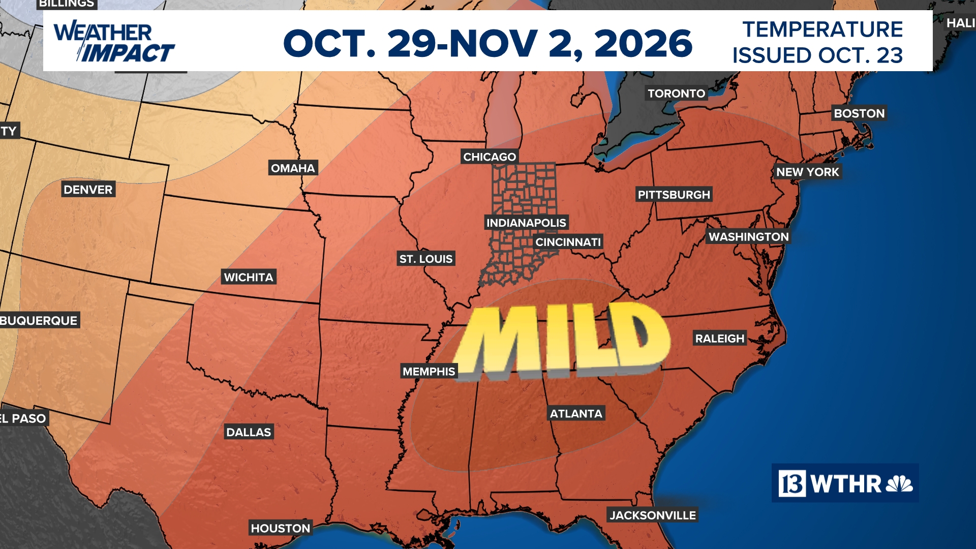
More in Weather blog After a crisp start to the day, temperatures will rebound nicely, with afternoon highs climbing into the 70s once again. A few more mid- to high-level clouds may drift through from time to time, but…
-
 Northeast Ohio weather: Dry stretch continues this weekend
CLEVELAND, Ohio (WOIO) - High pressure keeps dry weather around through the weekend and beyond. High temperatures rise to the mid 60s this afternoon under a sunny sky. Low temperatures drop to the upper 30s and low 40s…
- It’s a Fabulous Fall Weekend!
Temperatures continue to trend above average in the 70s into next week Some high, thin clouds will start to filter into the area over the weekend, with more clouds likely throughout next week. However, no rain is…
Air quality
Acceptable. Unusually sensitive people should consider limiting prolonged outdoor exertion.
Forecast
- TueModerate
- WedModerate
Evansville, IN reporting area · 1 hr ago. Data from AirNow (EPA and its state, local and tribal partners); preliminary and subject to change.
Sun & moon
Almanac
Monthly1 Wsw Princeton, records since 1897. Normals 1991–2020. Data from NOAA's Regional Climate Centers (ACIS).
Nearby
- Evansville 44 km
- Henderson 60 km
- Vincennes 41 km
- Jasper 37 km
- Washington 39 km
- Princeton 19 km
- Mount Carmel 37 km
- Boonville 33 km
- Huntingburg 34 km
- Highland 37 km
- Lawrenceville 52 km
- Melody Hill 38 km
Forecasters' discussion
From the National Weather Service office in PAH, issued 1 hr ago
Key Messages
- Dry conditions with warm days and cool nights will continue through the work week.
- Chances of showers return to the region this weekend, with the best chances Saturday evening into Sunday. Additional chances will linger into early next week.
Discussion
Issued at 201 AM CDT Tue Oct 27 2026
Upper-level ridging, along with strong high pressure to the east, will keep conditions warm and dry through the workweek with highs rising to near 80 later in the week and lows rising to the 50s. Patchy morning fog continues to be a daily issue. While we have had an extended period of dry weather, winds will continue to be light, limiting fire weather potential.
The primary consideration remains the arrival of rains from what is currently Tropical Storm Vance off the western coast of Mexico. Bringing plenty of moisture, albeit more so at elevated levels, this system is likely to affect the Quad State over the weekend, though timing varies. PoPs max out around 50-60% Saturday evening through early Sunday, with northeastern areas more likely to have rain hold off until after most Halloween activities are complete, with SEMO most likely to be affected. The blend did put thunder back in for southernmost portions of SEMO Saturday afternoon-night, but instability remains limited and we remain on the fringes of thunderstorm activity. QPF remains fairly low, order of a quarter to half inch Saturday evening through Sunday. The high moisture levels from the remnants of a tropical system can exceed that, though would have to do so by a lot to produce flooding issues.
While the tropical remnants move through over the weekend, an upper low moves into the Pacific northwest while moisture arrives at the base of a deep trough in Southern California. Operational global models favor taking these two features through the Rockies and producing a broad, developing system over the Central Plains. Of course, being roughly a week out and involving elements from multiple systems, timing varies across models, along with positioning, so PoPs are limited and spread out for now. Temperatures will remain above normal through early next week.
Aviation
Issued at 1040 PM CDT Mon Oct 26 2026
There will be some potential for ground fog tonight. A high overcast moving in from the west should keep visibility from really dropping but patches of MVFR visibility, especially temporarily will be reasonable to expect area-wide in the pre- dawn hours. VFR with south to southeast winds is forecast for the rest of the day on Tuesday with winds going calm after dark.
Pah Watches
IL...None. MO...None. IN...None. KY...None.
Forecasts, observations and alerts in the United States come from the National Weather Service (NOAA); radar from NOAA's Multi-Radar Multi-Sensor system; satellite imagery from NASA's Global Imagery Browse Services (GIBS) and NOAA's GOES satellites; the map from the U.S. Geological Survey's National Map; air quality from AirNow (EPA and its partners); hurricane information from the National Hurricane Center; climate normals and records from NOAA's Regional Climate Centers (ACIS). Forecasts outside the United States and the UV index: MET Norway (CC BY 4.0); observations outside the U.S.: airport reports via NOAA's Aviation Weather Center. Place names: GeoNames (CC BY 4.0). Data are copied on a schedule and may lag the sources; for warnings that affect your safety, follow your local National Weather Service office and emergency officials. Weather news is drawn from the 4Conservative index and reflects what the press published. Terms of use. How to use Weather