Install
Country Squire Lakes, IN Weather
Current conditions
Forecast for this hour (no station report in the last two hours)
Forecast
10-day-
Monday Night
Mostly cloudy, with a low around 48. North wind around 1 mph.
-
Tuesday
Partly sunny, with a high near 72. East wind around 2 mph.
-
Tuesday Night
Mostly cloudy, with a low around 48. East wind around 2 mph.
National Weather Service forecast updated 3 days ago.
Hourly
Hourly forecast- Now66°
- 8 PM63°
- 9 PM60°
- 10 PM57°
- 11 PM55°
- Tue12 AM54°
- 1 AM53°
- 2 AM52°
- 3 AM51°
- 4 AM51°
- 5 AM50°
- 6 AM49°
- 7 AM48°
- 8 AM48°
- 9 AM51°
- 10 AM55°
- 11 AM60°
- 12 PM64°
- 1 PM67°
- 2 PM69°
- 3 PM71°
- 4 PM72°
- 5 PM71°
- 6 PM69°
Daily forecast
Details- FriOct 23Sunny45°73°
- SatOct 24Patchy Fog then Sunny43°72°
- SunOct 25Sunny43°74°
- TodayOct 26Mostly Sunny48°73°
- TueOct 27Partly Sunny48°72°
- WedOct 28Partly Sunny47°73°
- ThuOct 29Mostly Sunny46°74°
- FriOct 30Cloudy46°62°
- SatOct 31Cloudy0.06 in46°66°
Days after the National Weather Service's seven are MET Norway's outlook, a computer model with no forecaster's review.
Radar
Full mapWeather news in Indiana
More weather news-
 Highs above average continue
Highs well above average this week. Our average is near 60 degrees, we’ll be nearly 15 degrees higher than that each day. Clouds appear Monday continuing through Wednesday. Lows overnight also begin ... LAFAYETTE, Ind…
-
 Sunny, 70s, and dry this entire school week
CINCINNATI (WXIX) - Monday starts off in the 40s with filtered sun. We’ll top out more than 10 degrees above normal in the low to mid 70s. We stay dry through the work week, with a slight rise in ... CINCINNATI (WXIX)…
-
 Harvest Weather Forecast: Dry Days Keep Indiana Combines Rolling Before Early November Rain Threat
A nice harvest window remains in place for the next two weeks, although conditions will not be quite as perfect as they were this past week in your Beacon Credit Union Harvest Weather Forecast. We remain completely dry…
-
 FIRST ALERT: Small showers through the week
MARQUETTE, Mich. (WLUC) - A dreary Sunday as showers will continue through the evening and possible overnight into Monday morning. A cold front passes after the rain and drops temperatures to below average, into the mid…
- Rain holds off until next weekend
Wet weather returns Halloween weekend Monday starts off in the 40s with filtered sun. We’ll top out more than 10 degrees above normal; in the low to mid 70s. We stay dry through the work week, with a slight rise in…
-
 Gorgeous Fall Week Ahead
CINCINNATI (WXIX) - Some patchy fog may develop by morning as temperatures fall into the mid 40s. Expect mostly sunny skies Sunday, with pleasant afternoon temperatures in the low 70s. Monday starts ... Monday starts…
-
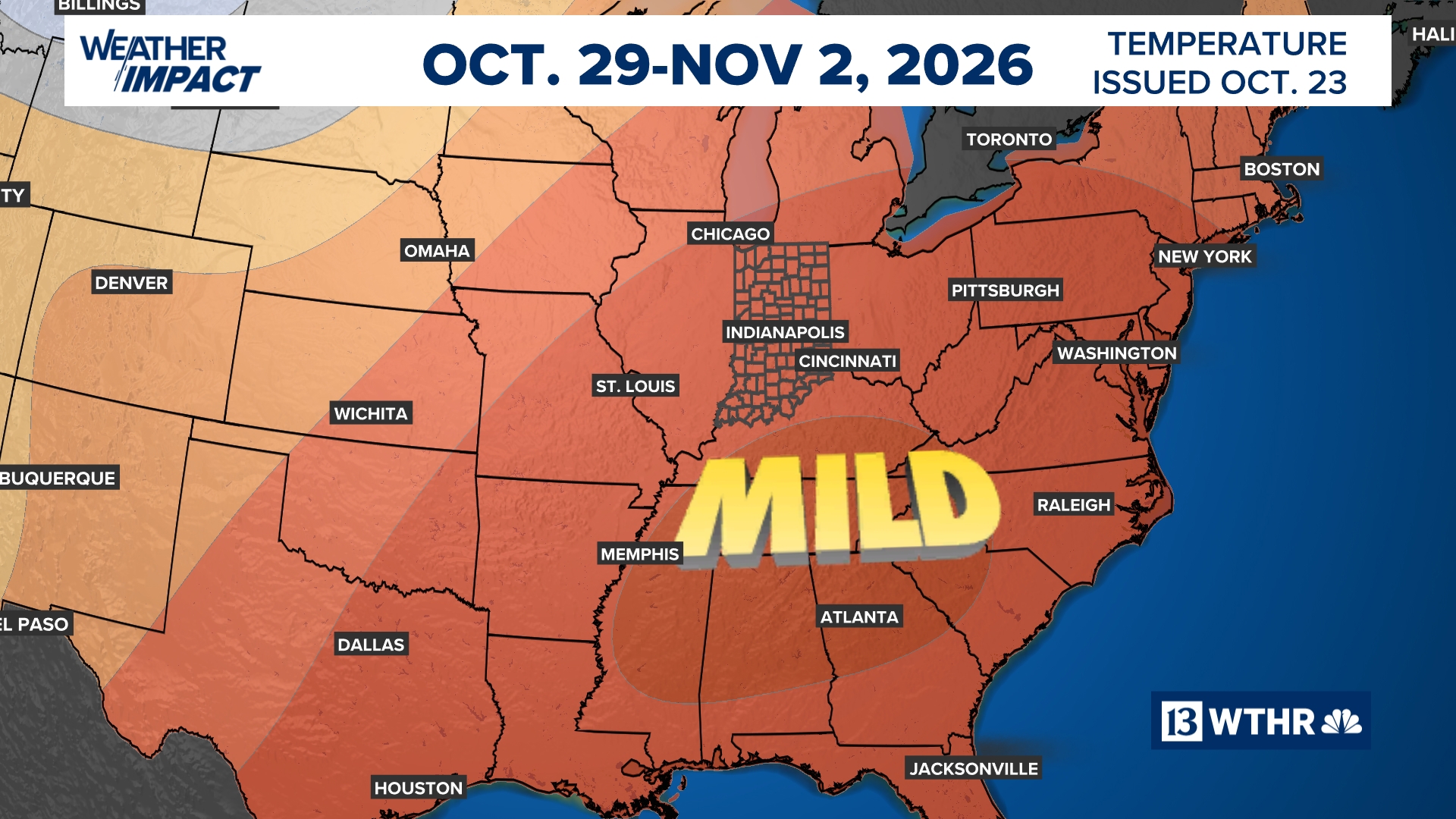 Mild afternoon highs expected to continue another week | 13Weather Blog
More in Weather blog After a crisp start to the day, temperatures will rebound nicely, with afternoon highs climbing into the 70s once again. A few more mid- to high-level clouds may drift through from time to time, but…
-
 Northeast Ohio weather: Dry stretch continues this weekend
CLEVELAND, Ohio (WOIO) - High pressure keeps dry weather around through the weekend and beyond. High temperatures rise to the mid 60s this afternoon under a sunny sky. Low temperatures drop to the upper 30s and low 40s…
- It’s a Fabulous Fall Weekend!
Temperatures continue to trend above average in the 70s into next week Some high, thin clouds will start to filter into the area over the weekend, with more clouds likely throughout next week. However, no rain is…
- Enjoy a Fabulous Fall Weekend with Rain Chances Returning Next Week
We have 6 more dry days before a weak front arrives on Thursday CINCINNATI (WXIX) - Another beautiful fall weekend is ahead for the Tri-State, with plenty of sunshine, comfortable afternoons and little chance for rain…
Air quality
Air quality is satisfactory, and air pollution poses little or no risk.
Columbus, IN reporting area · 1 hr ago. Data from AirNow (EPA and its state, local and tribal partners); preliminary and subject to change.
Sun & moon
Almanac
MonthlyColumbus, records since 1893. Normals 1991–2020. Data from NOAA's Regional Climate Centers (ACIS).
Nearby
- Columbus 27 km
- Franklin 58 km
- Seymour 19 km
- Shelbyville 55 km
- North Madison 40 km
- Madison 43 km
- Greensburg 38 km
- Scottsburg 39 km
- North Vernon 7 km
- Batesville 51 km
- Salem 59 km
- Edinburgh 42 km
Forecasters' discussion
From the National Weather Service office in IND, issued 5 hrs ago
Key Messages
- Dry and unseasonably high temperatures to continue through Friday, afternoon highs in the 70s
- Patchy dense fog possible south of the I-70 corridor tonight into the morning. Uncertainty is high on fog coverage.
- A wetter pattern may take shape for the Halloween weekend and/or the following week
Ind Watches
None.
Forecasts, observations and alerts in the United States come from the National Weather Service (NOAA); radar from NOAA's Multi-Radar Multi-Sensor system; satellite imagery from NASA's Global Imagery Browse Services (GIBS) and NOAA's GOES satellites; the map from the U.S. Geological Survey's National Map; air quality from AirNow (EPA and its partners); hurricane information from the National Hurricane Center; climate normals and records from NOAA's Regional Climate Centers (ACIS). Forecasts outside the United States and the UV index: MET Norway (CC BY 4.0); observations outside the U.S.: airport reports via NOAA's Aviation Weather Center. Place names: GeoNames (CC BY 4.0). Data are copied on a schedule and may lag the sources; for warnings that affect your safety, follow your local National Weather Service office and emergency officials. Weather news is drawn from the 4Conservative index and reflects what the press published. Terms of use. How to use Weather