Install
South Holland, IL Weather
Current conditions
Observed at Lansing Municipal Airport · 1 hr ago
Forecast
10-day-
Sunday
Partly sunny, with a high near 72.
-
Sunday Night
Mostly cloudy, with a low around 52.
-
Monday
Partly sunny, with a high near 66.
National Weather Service forecast updated 5 days ago.
Hourly
Hourly forecast- Now69°
- 6 PM67°
- 7 PM65°
- 8 PM63°
- 9 PM62°
- 10 PM60°
- 11 PM59°
- Mon12 AM58°
- 1 AM57°
- 2 AM56°
- 3 AM55°
- 4 AM54°
- 5 AM53°
- 6 AM53°
- 7 AM53°
- 8 AM54°
- 9 AM56°
- 10 AM59°
- 11 AM61°
- 12 PM63°
- 1 PM64°
- 2 PM65°
- 3 PM66°
- 4 PM66°
10-day forecast
Details- TueOct 20Patchy Fog then Sunny44°68°
- WedOct 21Patchy Fog then Sunny48°71°
- ThuOct 22Sunny49°70°
- FriOct 23Sunny49°68°
- SatOct 24Mostly Sunny52°69°
- TodayOct 25Partly Sunny52°72°
- MonOct 26Partly Sunny15%50°66°
- TueOct 27Cloudy45°55°
- WedOct 28Cloudy44°51°
- ThuOct 29Sunny42°56°
Days after the National Weather Service's seven are MET Norway's outlook, a computer model with no forecaster's review.
Radar
Full mapWeather news near South Holland
More weather news-
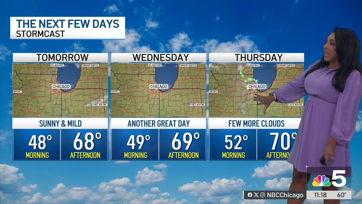 Monday afternoon forecast for Chicago area
NBC 5 Chicago Monday afternoon forecast for Chicago area
-
 Chicago weather: Unseasonably warm temperatures stick around all week
Emily Wahls has your weather update! CHICAGO - It was another day with above normal temperatures and plenty of sunshine. Monday's high temperatures soared into the upper 60s to near 70 degrees. Tonight will be mostly…
-
 Chicago weather: Above-normal temps expected through October
Mike Caplan has your Chicago weather update! CHICAGO - It’s smooth sailing weather-wise this week and likely for the rest of the month. There will be little if any cloud cover and temperatures will be well above normal…
-
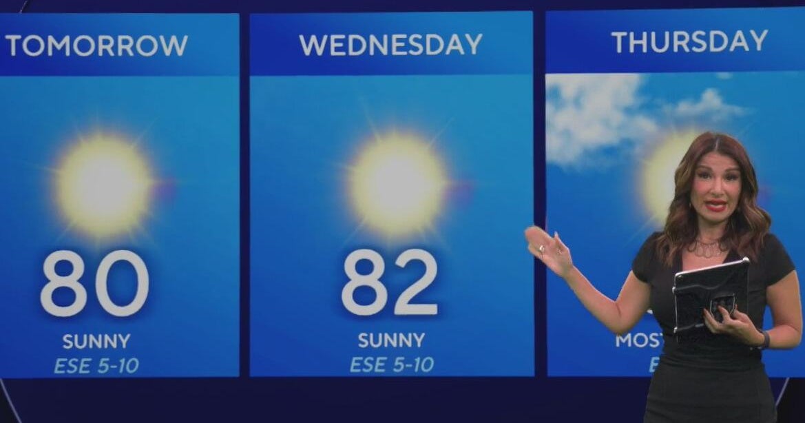 Beautiful stretch of weather continues across North Texas
The Takeout with Major Garrett CBS News Chicago 4pm CBS News Detroit 5pm CBS News Miami 5pm The 4 from WCCO News CBS News New York 5pm CBS News Philadelphia 5pm CBS News Texas at 4pm
-
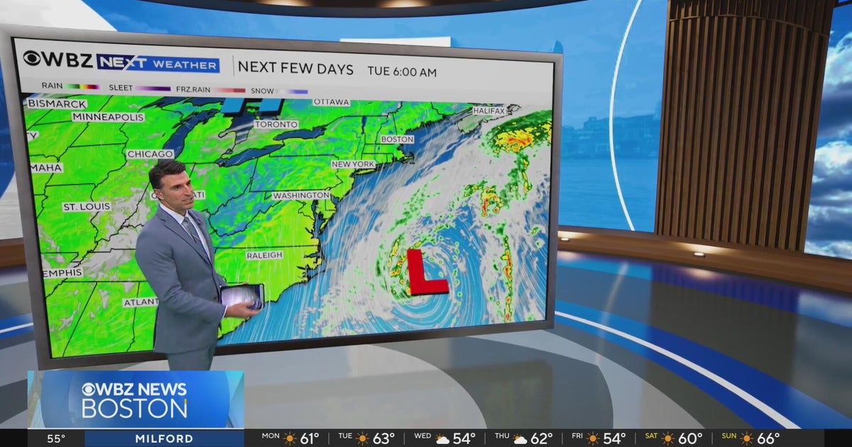 Next Weather: WBZ evening forecast for October 19, 2026
The Takeout with Major Garrett CBS News Chicago 4pm CBS News Detroit 5pm CBS News Miami 5pm The 4 from WCCO News CBS News New York 5pm CBS News Philadelphia 5pm CBS News Texas at 4pm
-
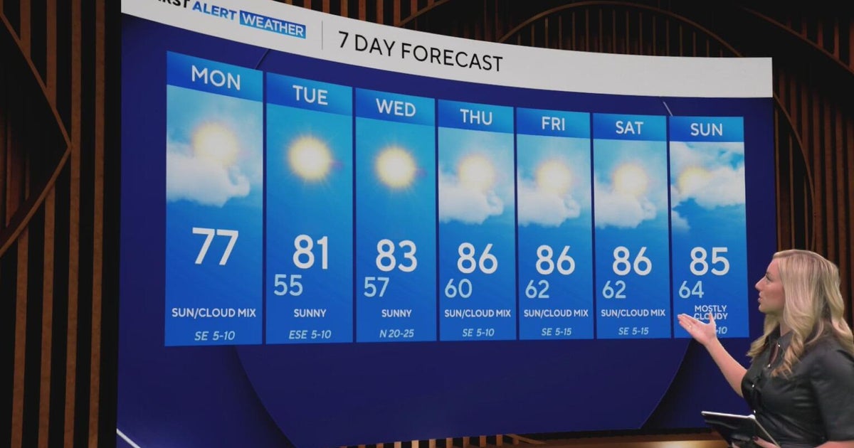 Cool and crisp morning in store for North Texas as temperatures top out in 70s, 80s this week
CBS News Baltimore 8am CBS News Boston 8am CBS News Chicago 7am CBS News Colorado This Morning 6am CBS News Los Angeles Mornings 5am CBS News Miami 8am CBS News New York 8am CBS News Texas 7am
-
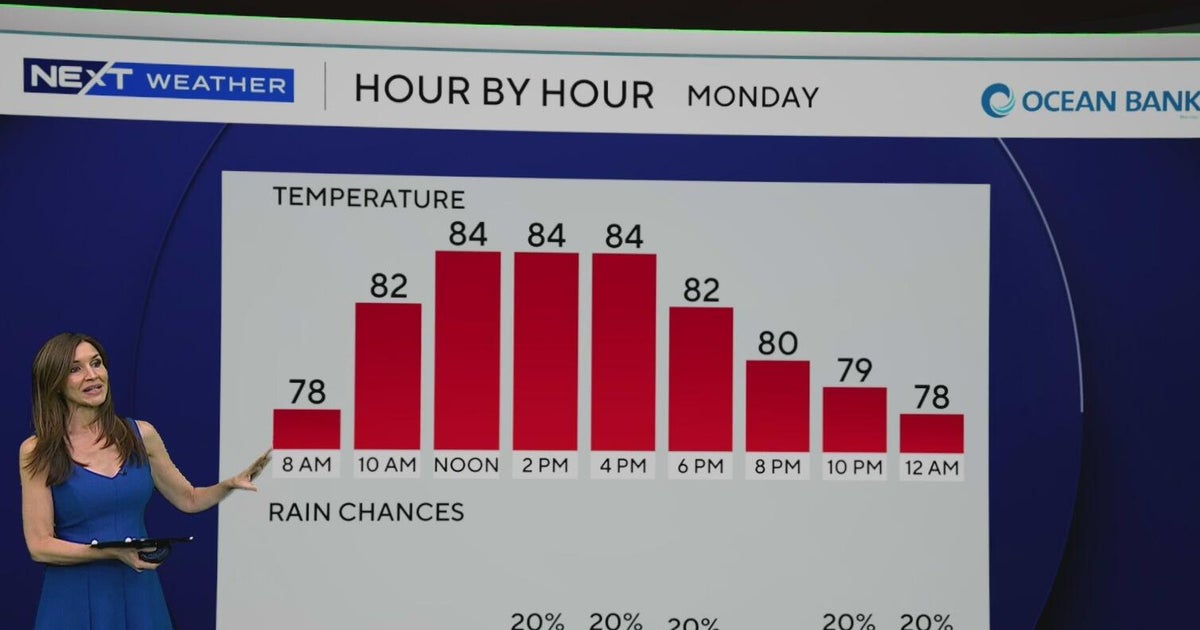 South Florida to see lower rain chances, cooler temperatures this week
CBS News Baltimore 8am CBS News Boston 8am CBS News Chicago 7am CBS News Colorado This Morning 6am CBS News Los Angeles Mornings 5am CBS News Miami 8am CBS News New York 8am CBS News Texas 7am
-
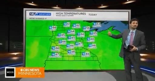 NEXT Weather: 6 a.m. report for Minnesota on Oct. 19, 2026
CBS News Baltimore 7am CBS News Bay Area Evening Edition 11pm CBS News Boston 7am CBS News Chicago 6am CBS News Colorado This Morning 5am CBS News Los Angeles Weekend 11pm CBS News Miami 7am CBS News New York 7am KDKA…
-
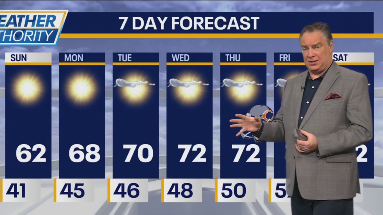 Chicago weather: Chilly start to gameday, then sun and mid-60s
FOX 32 Chicago Fox Chicago Meteorologist Mike Caplan has the forecast for Oct. 18, 2026.
-
 U.S. winter is likely to be wetter and warmer, forecasters say
El Niño is likely to shift weather patterns to bring more moisture, but with it higher temperatures. That should help erase persistent Western drought, but it won’t likely make Northern snow-lovers happy, the National…
Air quality
Acceptable. Unusually sensitive people should consider limiting prolonged outdoor exertion.
Forecast
- SunModerate
- MonModerate
Hammond-Gary, IN reporting area · 1 hr ago. Data from AirNow (EPA and its state, local and tribal partners); preliminary and subject to change.
Sun & moon
Almanac
MonthlyChicago Midway Ap, records since 1928. Normals 1991–2020. Data from NOAA's Regional Climate Centers (ACIS).
Nearby
- Chicago 28 km
- Joliet 41 km
- Naperville 49 km
- Cicero 30 km
- Hammond 9 km
- Gary 22 km
- Evanston 49 km
- Bolingbrook 40 km
- Skokie 49 km
- Des Plaines 53 km
- Orland Park 21 km
- Tinley Park 15 km
Forecasters' discussion
From the National Weather Service office in LOT, issued 4 hrs ago
Key Messages
- A cold front will move across the area tonight leading to low clouds and cooler temperatures tomorrow, especially north of Interstate 80.
- The relative cool down will be short-lived as high temperatures rebound to the low to mid 70s by the middle of the week.
- A pattern change toward more opportunities for regular rainfall is set to occur toward the end of the week and into the first week of November.
Discussion
Issued at 1229 PM CDT Sun Oct 25 2026
The upper-level pattern remains benign and is characterized by a narrow ridge extending from the Gulf toward the Lower Great Lakes, a cut-off low pressure system over the Four Corners region, and aggregate troughing across the Pacific northwest. Closer to the surface, a cold front stretches across the Upper Mississippi River Valley southeastward from a low pressure system traversing Hudson Bay. Ahead of the cold front and indeed across our area, it's another seasonably beautiful day with a light southwesterly breeze, partly cloudy skies, and temperatures climbing toward the lower 70s.
The cold front will drop into northern Illinois and northwestern Indiana toward daybreak leading to a north to northeasterly wind shift and gusts up to around 15 to 20 mph. Modest ascent behind the front interacting with the cool and moist environment should support low clouds and even pockets of mist/fog immediately behind the front, making way for a fall scene to start the workweek. With the parent low pressure system remaining so far removed from our area and the aforementioned southwestern cut-off low expected to lift northeastward toward the northern Plains (inducing low-level warm air advection into the middle Mississippi River Valley), the cold front appears poised to stall somewhere between the I-80 and US-24 corridors. Taken altogether, the stage is set for a tight gradient in temperatures across the area tomorrow with highs in the low 60s near the Wisconsin state line to the mid 70s south of US-24.
Tuesday into Wednesday morning, a surface high pressure system will settle across the northwestern United States as aggregate surface troughing becomes established across the Plains. A series of mid- level impulses originating from northern Mexico will propagate northeastward toward the Great Lakes atop a somewhat parched low- level airmass (backside of the surface high). While a sprinkle or two cannot be ruled out, suspect we'll just have to deal with prevalent mid to upper-level clouds leading to a muted diurnal temperature response (highs on Tuesday perhaps only a few degrees warmer than Monday). Clearing skies Wednesday afternoon should help highs warm back into the low 70s areawide.
Ensemble guidance continues to advertise a pattern change toward the end of the week and beyond as the subtropical and polar jets begin to interact, leading to deep long-wave troughing across the western US and shortwave shedding eastward into the central US. As a result, regular chances for rainfall will return to the region perhaps as early as Thursday but more likely toward and after next weekend.
Borchardt
Aviation
Issued at 1229 PM CDT Sun Oct 25 2026
Key aviation forecast messages:
- A N to NE wind shift is expected behind a cold front early Monday AM followed by the potential for a brief period of IFR CIGs and MVFR VSBYs.
VFR conditions are forecast through the early overnight hours with filtered sunshine through SCT to BKN thin high clouds. Winds will remain generally light (under 10 kt) mainly out of the SSW. Winds then ease after sunset, becoming light and variable ahead of an approaching cold front which is expected to move through the area from north to south during the early morning hours Monday. Have moved up the wind shift timing by an hour given a trend toward a slightly earlier arrival (now in the 9-11Z timeframe, earliest at ORD).
There is also an increasing signal for the potential for a brief period of IFR (or lower) ceilings moving across the area in the wake of the front, potentially paired with reduced visibility in BR and patchy fog (VSBYs of MVFR or lower). Have accordingly introduced TEMPOs to account for this, though there remains the possibility that coverage ends up more scattered. Expect winds to increase into the 10 to 15 kt range behind the front gradually turning more ENE farther inland.
Petr
Lot Watches
IL...None. IN...None. LM...Small Craft Advisory from 7 AM Monday to 7 AM CDT Tuesday for Winthrop Harbor to Wilmette Harbor IL.
Forecasts, observations and alerts in the United States come from the National Weather Service (NOAA); radar from NOAA's Multi-Radar Multi-Sensor system; satellite imagery from NASA's Global Imagery Browse Services (GIBS) and NOAA's GOES satellites; the map from the U.S. Geological Survey's National Map; air quality from AirNow (EPA and its partners); hurricane information from the National Hurricane Center; climate normals and records from NOAA's Regional Climate Centers (ACIS). Forecasts outside the United States and the UV index: MET Norway (CC BY 4.0); observations outside the U.S.: airport reports via NOAA's Aviation Weather Center. Place names: GeoNames (CC BY 4.0). Data are copied on a schedule and may lag the sources; for warnings that affect your safety, follow your local National Weather Service office and emergency officials. Weather news is drawn from the 4Conservative index and reflects what the press published. Terms of use. How to use Weather