Install
Oregon, IL Weather
Current conditions
Observed at Rockford, Greater Rockford Airport · 22 min ago
Forecast
10-day-
Tonight
Clear. Low around 40, with temperatures rising to around 42 overnight. Southeast wind 0 to 5 mph.
-
Wednesday
Sunny. High near 72, with temperatures falling to around 69 in the afternoon. South wind 0 to 5 mph.
-
Wednesday Night
Mostly clear, with a low around 44. West northwest wind around 0 mph.
National Weather Service forecast updated 19 hrs ago.
Hourly
Hourly forecast- Now42°
- 6 AM41°
- 7 AM40°
- 8 AM42°
- 9 AM50°
- 10 AM56°
- 11 AM62°
- 12 PM66°
- 1 PM69°
- 2 PM70°
- 3 PM71°
- 4 PM70°
- 5 PM69°
- 6 PM65°
- 7 PM60°
- 8 PM57°
- 9 PM55°
- 10 PM54°
- 11 PM52°
- Thu12 AM51°
- 1 AM50°
- 2 AM49°
- 3 AM48°
- 4 AM47°
10-day forecast
Details- TueOct 20Sunny40°69°
- TodayOct 21Sunny44°72°
- ThuOct 22Sunny47°72°
- FriOct 23Sunny48°70°
- SatOct 24Mostly Sunny51°70°
- SunOct 25Partly Sunny48°70°
- MonOct 26Mostly Sunny then Slight Chance Rain Showers15%43°65°
- TueOct 27Cloudy44°57°
- WedOct 28Cloudy42°53°
- ThuOct 29Sunny39°53°
Days after the National Weather Service's seven are MET Norway's outlook, a computer model with no forecaster's review.
Radar
Full mapWeather news near Oregon
More weather news-
 Frost this morning, then a warming trend takes over
WAND DECATUR, Ill. (WAND) – Patchy frost is expected this morning with a near area-wide Frost Advisory in effect through 9 a.m., except for Illinois River counties. High pressure is in control today, bringing plenty of…
-
 Frost advisory back in effect for Central Illinois
WAND DECATUR, Ill. (WAND) – Another cool day starts the weekend across Central Illinois with highs Saturday only reaching the upper 50s under plenty of sunny skies. Strong high pressure remains in control keeping skies…
-
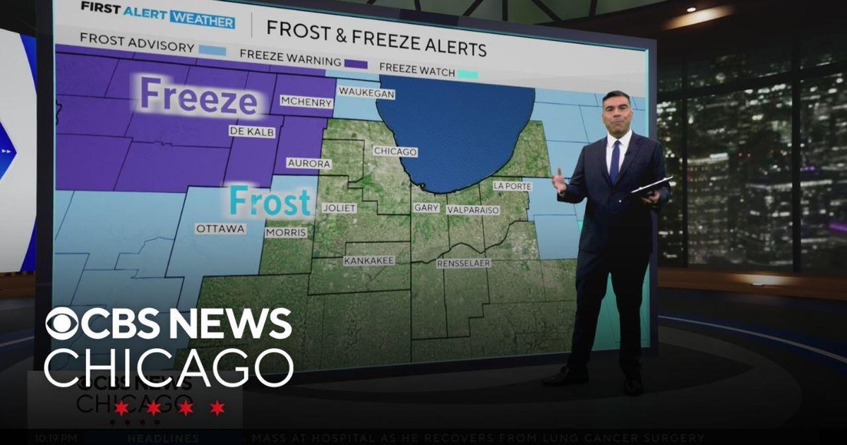 Chicago weather: Freeze and frost possible overnight
CBS News Chicago weather: Freeze and frost possible overnight Eye on Chicago: The Chicago Lighthouse nonprofit marks 120th anniversary "Society of Screams" transforms Chicago Park District space into haunted house Elk…
-
 Warmer winter predicted in Chicago amid “Super” El Niño
As we move deeper into fall, a clearer picture is emerging of what the upcoming winter could look like across Chicago and the Great Lakes. NOAA released its official winter outlook Thursday, October 15, and the forecast…
-
 Chilly Friday with colder air this weekend
KFVS12 (Heartland News) - Our cold front has pushed through the Heartland and is taking the dew points with it! Gusty winds up to 30 MPH can be expected throughout the day, putting a little chill in the air. Highs today…
- A few showers remaining, chilly weekend ahead
Rain for some this evening, windy conditions tomorrow, and a cool weekend. (Heartland News) - Most of the shower storm activity has come to an end for the Heartland although a few stronger storms cannot be ruled out for…
- The US just experienced its warmest September on record: NOAA
Last month was the warmest September on record for the contiguous United States, surpassing the previous record set in 1998, according to a new report from the National Oceanic and Atmospheric Administration (NOAA). The…
-
 Another beautiful day ahead for Central Illinois
DECATUR, Ill. (WAND) – If you’re looking for a reason to get outside, Tuesday is your day. A high-pressure system settling over the Midwest is bringing abundant sunshine and calm winds to Central Illinois, with…
- Central Illinois Winter Weather Outlook
The winter weather outlook for central and southeast Illinois has been released, and a detailed summary is available at this link. Some of the highlights: Current Conditions Latest Observations Daily Climate Maps…
-
 One of the year’s most pleasant weather stretches arrives in Central Illinois
DECATUR, Ill. (WAND) – A beautiful stretch of sunshine and mild temperatures is settling into the region, and it’s the perfect time to get outside and enjoy it. High pressure is taking control of the Midwest, locking in…
Air quality
Acceptable. Unusually sensitive people should consider limiting prolonged outdoor exertion.
Forecast
- WedModerate
- ThuModerate
- FriModerate
Rockford, IL reporting area · 1 hr ago. Data from AirNow (EPA and its state, local and tribal partners); preliminary and subject to change.
Sun & moon
Almanac
MonthlyRockford Area, records since 1893. Normals 1991–2020. Data from NOAA's Regional Climate Centers (ACIS).
Nearby
- Rockford 35 km
- DeKalb 49 km
- Belvidere 49 km
- Freeport 39 km
- Loves Park 41 km
- Machesney Park 44 km
- Sycamore 53 km
- Dixon 23 km
- Sterling 39 km
- Roscoe 52 km
- Rochelle 24 km
- Rock Falls 39 km
Forecasters' discussion
From the National Weather Service office in LOT, issued 3 hrs ago
Key Messages
- Dense fog may develop again early this morning within about 25 miles of Lake Michigan, with highest chances in the northern Chicago suburbs. Any dense fog that does form will quickly burn off by mid-morning.
- The dry and unseasonably mild weather will continue through the upcoming weekend.
Discussion
Issued at 157 AM CDT Wed Oct 21 2026
GOES nighttime microphysics RGB shows fog developing across Lake County IL into extreme southeast WI. Given the fog is developing a couple hours earlier than last night and with similarly favorable conditions to early Tuesday morning, seems likely that dense fog will continue to develop and expand through sunrise. The northern and northwest suburbs seem most likely for dense fog development, but given the low dewpoint depressions, calm winds, and clear skies, fog will probably expand south into the heart of the metro too, though confidence is low in how far south it develops. A dense fog advisory will likely be issued sooner rather than later and will probably need to be expanded as fog expands. Similar to Tuesday morning, fog should burn off by around 14z.
Very little day to day change in the weather is expected through the upcoming weekend. A very weak southwest gradient today may limit the inland penetration of the lake breeze this afternoon compared to Tuesday. This would have implications on areal coverage of fog tonight, as the added moisture from the marine layer has been contributing to the fog development. Temperatures will likely be a couple degrees warmer today.
Another weak surface high will track across the upper Great Lakes in SE Canada Thursday into Friday, likely resulting in a very weak easterly gradient favoring a deeper inland penetration of the weak lake breeze Thursday and possibly Friday as well. This could tee things up for a bit more areal coverage of dense fog Fri and Sat morning.
The omega block and the amplitude of the upper ridge is still progged to break down early next week which at least opens the door to the possibility of a cold frontal passage and perhaps some rain at some point early next week. Medium range guidance often struggles with the breaking down of blocking patterns and there is still considerable ensemble spread, so the magnitude and timing of any potential return to more seasonable temperatures is still a low confidence item. As is any potential increase in rain chances.
- Izzi
Aviation
Issued at 1213 AM CDT Wed Oct 21 2026
Key Aviation Messages for the current TAF period:
- Fog, locally dense, is possible prior to sunrise, mainly at Chicago Terminals north of a KARR to KMDW line.
Winds are expected to be light and calm through the night. There is another chance for fog to develop this morning. It has already started to develop around and north of KENW where obs are already reporting 1/4SM. While fog development is not a certainty, if/when it does occur, it can be locally dense with vis potentially near zero. Similar to yesterday, vis improvement should be fairly quick after sunrise.
Light southwest winds are expected through much of the day before becoming more southeasterly toward sunset. Once the fog clears, VFR conditions are expected through the end of the TAF. There is another chance for patchy fog tomorrow morning, but the chances are not as great as recently.
DK
Lot Watches
IL...None. IN...None. LM...None.
Forecasts, observations and alerts in the United States come from the National Weather Service (NOAA); radar from NOAA's Multi-Radar Multi-Sensor system; satellite imagery from NASA's Global Imagery Browse Services (GIBS) and NOAA's GOES satellites; the map from the U.S. Geological Survey's National Map; air quality from AirNow (EPA and its partners); hurricane information from the National Hurricane Center; climate normals and records from NOAA's Regional Climate Centers (ACIS). Forecasts outside the United States and the UV index: MET Norway (CC BY 4.0); observations outside the U.S.: airport reports via NOAA's Aviation Weather Center. Place names: GeoNames (CC BY 4.0). Data are copied on a schedule and may lag the sources; for warnings that affect your safety, follow your local National Weather Service office and emergency officials. Weather news is drawn from the 4Conservative index and reflects what the press published. Terms of use.