Install
Missouri Valley, IA Weather
Current conditions
Observed at Omaha - Eppley Airfield · 40 min ago
Forecast
10-day-
Sunday
Mostly sunny, with a high near 72. East northeast wind 2 to 6 mph.
-
Sunday Night
A chance of rain showers after 2am. Mostly cloudy, with a low around 54. East northeast wind around 5 mph. Chance of precipitation is 30%.
-
Monday
Mostly cloudy, with a high near 72. Southeast wind 5 to 8 mph.
National Weather Service forecast updated 1 day ago.
Hourly
Hourly forecast- Now71°
- 6 PM70°
- 7 PM66°
- 8 PM62°
- 9 PM60°
- 10 PM59°
- 11 PM58°
- Mon12 AM58°
- 1 AM57°11%
- 2 AM57°17%
- 3 AM57°26%
- 4 AM56°14%
- 5 AM55°15%
- 6 AM55°
- 7 AM54°
- 8 AM54°
- 9 AM56°
- 10 AM59°
- 11 AM62°
- 12 PM66°
- 1 PM69°11%
- 2 PM70°11%
- 3 PM71°11%
- 4 PM72°11%
10-day forecast
Details- SatOct 24Mostly Sunny51°75°
- TodayOct 25Mostly Sunny26%54°72°
- MonOct 26Mostly Cloudy18%54°72°
- TueOct 27Partly Sunny then Slight Chance Rain Showers26%55°68°
- WedOct 28Chance Showers And Thunderstorms then Slight Chance Showers And Thunderstorms26%53°72°
- ThuOct 29Slight Chance Rain Showers then Mostly Sunny24%59°74°
- FriOct 30Chance Rain Showers52%57°74°
- SatOct 31Rain0.19 in61°67°
- SunNov 1Cloudy0.19 in61°71°
- MonNov 2Light rain0.05 in62°74°
Days after the National Weather Service's seven are MET Norway's outlook, a computer model with no forecaster's review.
Radar
Full mapWeather news near Missouri Valley
More weather news-
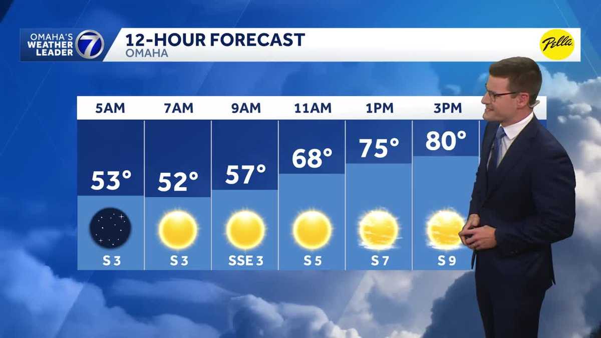 Warm, sunny stretch continues Thursday in Omaha area
Our warm and sunny stretch continues Thursday with highs around 80 degrees. Meteorologist Sean Everson has the latest forecast from Omaha's Weather Leader. With a combined 50 years covering weather in Nebraska and Iowa…
-
 Matt’s First Alert 6 Forecast: Now we add wind to the warm October temperatures
OMAHA, Neb. (WOWT) - Omaha is hovering close to 80° Thursday afternoon, kicking off potentially three straight days at that number. Winds pick up on Friday, and you will feel them in the afternoon and evening. The…
-
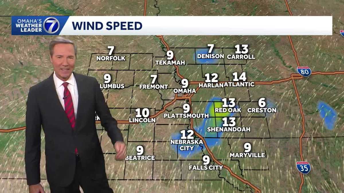 Maybe top ten weather now in Omaha
this evening KETV Maybe top ten weather now in Omaha 79 is the high in Omaha as of 4pm. If the winds hold around 10 mph early this evening, then today would be our seventh top ten day of the year!! Try to get outside…
-
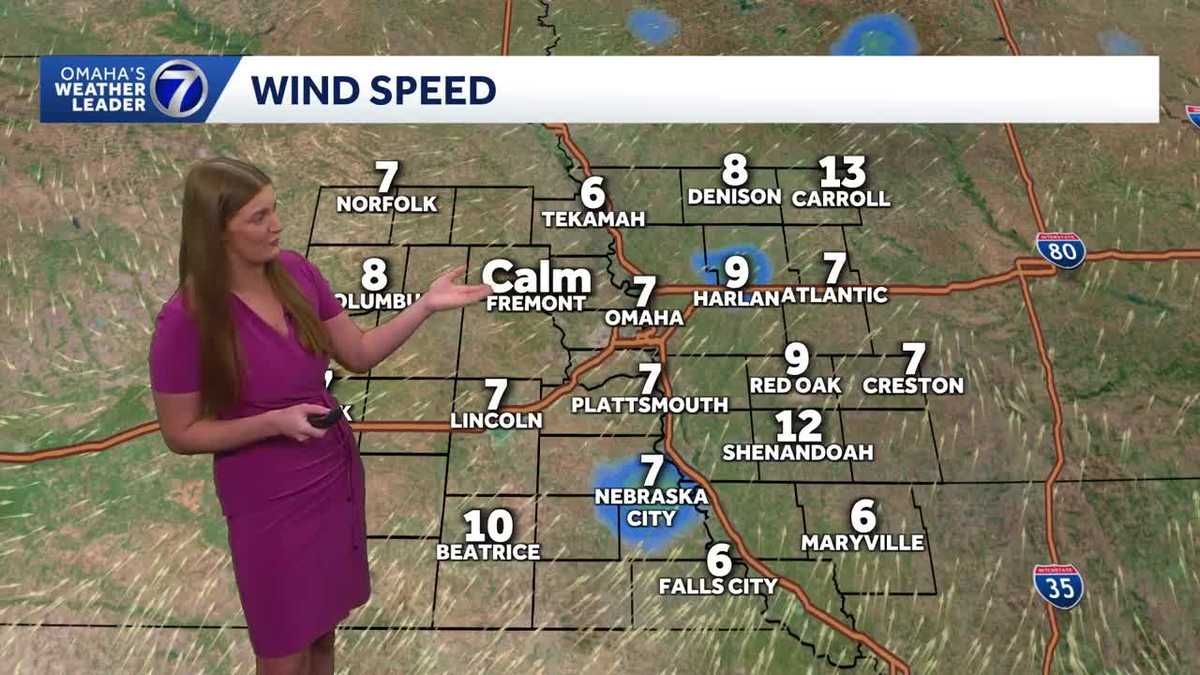 Another warm and sunny October day in Omaha
A beautiful day across the Omaha area Wednesday. Mostly clear skies continue tonight, yielding pretty decent stargazing conditions for the Orionids meteor shower! The warmer than average fall temperatures continue! More…
-
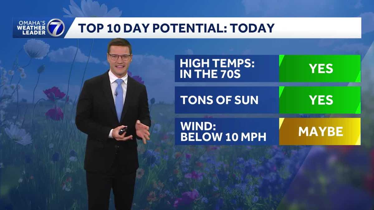 Potential for a Top 10 Day Wednesday in Omaha area
Potential for a Top 10 Day Wednesday with highs in the the mid to upper 70s. Meteorologist Sean Everson has the latest forecast from Omaha's Weather Leader. With a combined 50 years covering weather in Nebraska and…
-
 More great days ahead around Omaha
with highs in the 70s Wednesday KETV More great days ahead around Omaha Spectacular weather in Omaha on Tuesday with a high of 73. Wednesday looks as nice or nicer with a high near 77 and a lighter south breeze. The…
-
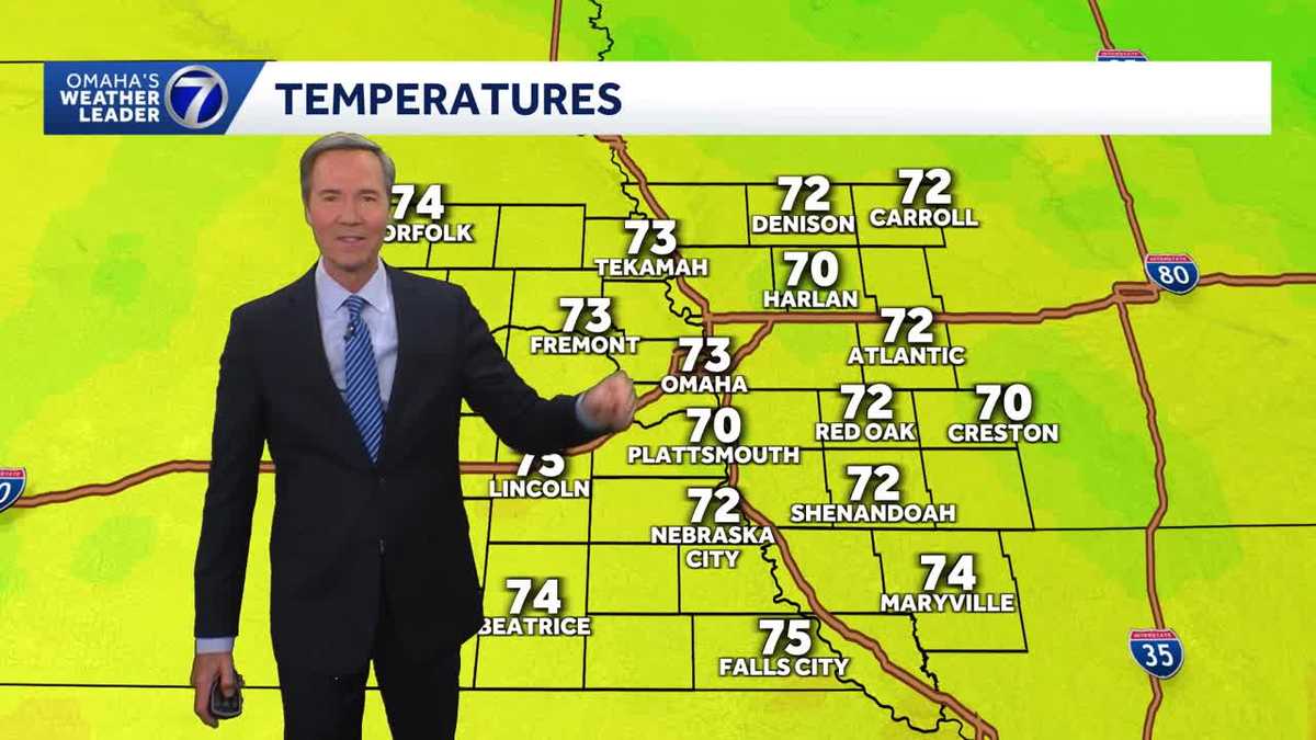 Spectacular this evening around Omaha
with temperatures in the low 70s KETV Spectacular this evening around Omaha Temperatures in the low 70s with some sunshine and a south breeze, spectacular this evening around Omaha. As nice or even nicer weather if that…
-
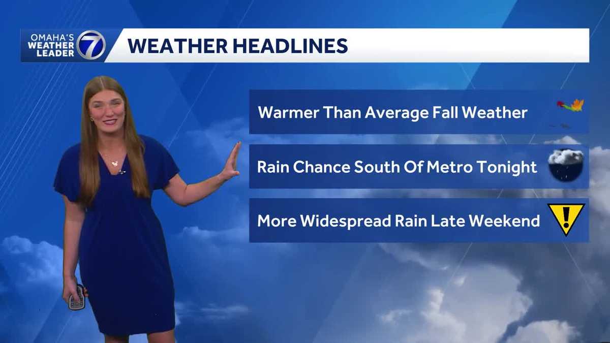 Sunny skies and warmer temperatures ahead for Omaha
A beautiful fall day is ahead across Omaha, with sunny skies and highs in the mid 70s. Temperatures stay warmer than average through the middle of the week. Mostly dry conditions continue through Friday before rain…
-
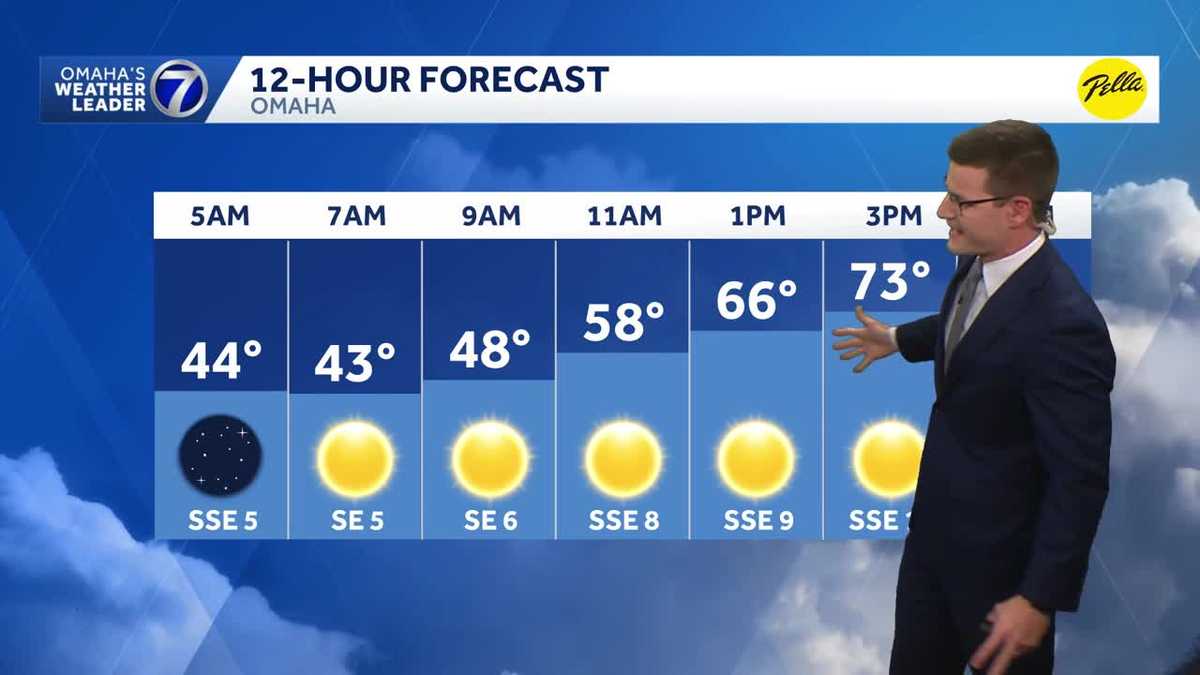 Beautiful fall day ahead Tuesday in Omaha area
A beautiful fall day ahead Tuesday with highs in the low to mid 70s. Meteorologist Sean Everson has the latest forecast from Omaha's Weather Leader. With a combined 50 years covering weather in Nebraska and Iowa, KETV…
-
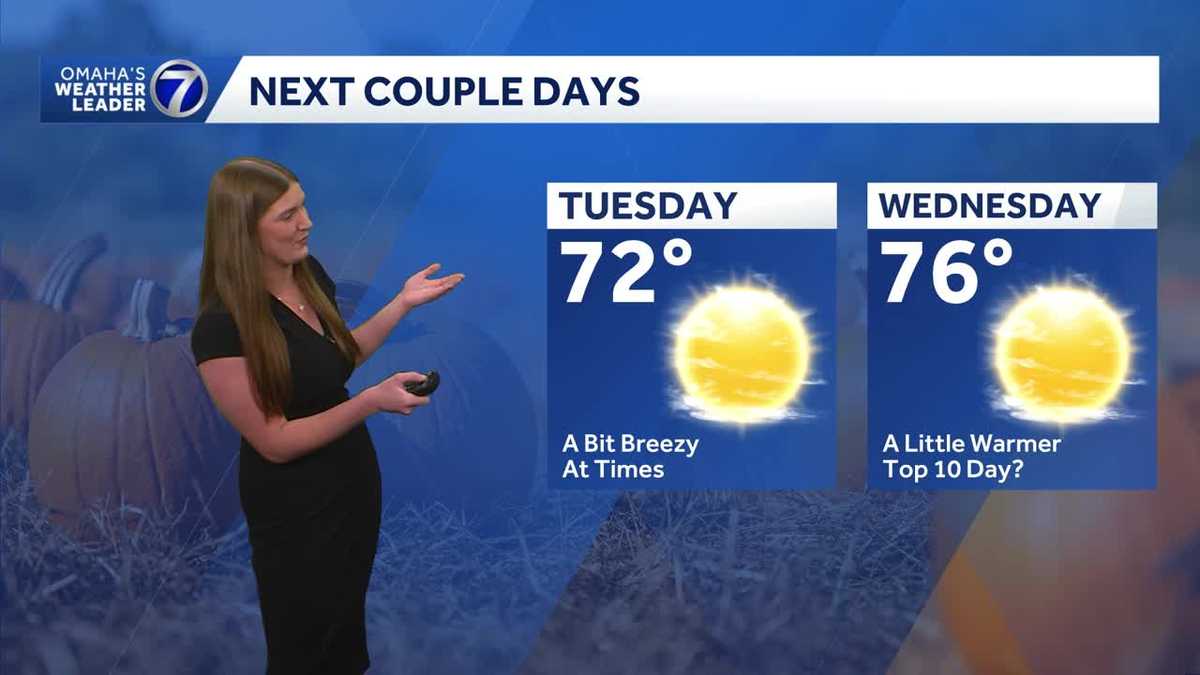 Omaha enjoys another stretch of comfortable fall weather
Plenty of sunshine Tuesday with highs in the 70s before temperatures climb a little Wednesday. The quiet stretch continues for now, but rain chances return toward the end of the week and into the weekend. With a…
Air quality
Acceptable. Unusually sensitive people should consider limiting prolonged outdoor exertion.
Forecast
- SunGood (39)
Omaha, NE reporting area · 1 hr ago. Data from AirNow (EPA and its state, local and tribal partners); preliminary and subject to change.
Sun & moon
Almanac
MonthlyOmaha Area, records since 1871. Normals 1991–2020. Data from NOAA's Regional Climate Centers (ACIS).
Nearby
Forecasters' discussion
From the National Weather Service office in OAX, issued 4 hrs ago
Key Messages
- Shower and storm chances persist over northeast Nebraska through Monday. The best chance will remain northwest of a line from Columbus, to Norfolk, to Wayne (60-90%).
- Periodic rain chances return to all of eastern Nebraska and western Iowa late Tuesday through the end of the week.
- High range from the 60s and 70s on Wednesday into the weekend.
Short Term
18z RAP objective analysis depicts a shortwave trof axis just west of the Four Corners area. Ridging is observed over portions of the Middle and Lower Mississippi Valley. This places a good swath of the Central and Northern Plains in southwesterly flow. The H8 baroclinic zone has lingering over portions of northeast Nebraska this afternoon. Warm air advection tied to the feature and subsidence from a sfc high that extends from the Dakotas toward our area has trapped low level stratus, helping keep temperatures a tad cooler in the upper 40s to low 50s in northeast Nebraska. Farther south where only a few high based clouds are, temperatures have warmed to the 60s and 70s.
Expect the low clouds in our northern areas to linger for the rest of the day. By this evening, the shortwave trof ejects northeastward. Mid level forcing for ascent will gradually increase, and persistent H8 WAA and moisture advection should provide fuel for more rain showers after 03z across northeast Nebraska (60-90% chance). CAM solutions depict the rain band making it a bit further east toward the Lincoln and Omaha areas closer to 06z. However, there is still some uncertainty if showers will make it that far east. Forecast BUFKIT soundings would suggest some lingering dry air as profiles never fully saturate below H7/H6 at times overnight. Have adjusted NBM PoPs a bit by introducing at least some low chances (15-25%) for some light rain along and north of I-80 from 06z to 12z Monday.
The sfc low will traverse the area on Monday resulting in continued rain showers across northeast Nebraska (60-90%). Highs will be coolest across the north, ranging from the 50s and 60s, while 70s are expected along and south of I-80. A few thunderstorms could develop along the sfc cold front late Monday night as hinted at by some CAMs, but overall instability from BUFKIT soundings appears limited at 100-150 J/kg.
Rainfall amounts by the end of the period will range from a few hundredths of an inch near the Lincoln and Omaha areas. Expect a half inch to an inch of rain northwest of a line from Albion to Norfolk to Wayne. HREF displays 50 to 90% probabilities for at least a half inch or more of rain in that area, while amounts of an inch or more (50-80% chance) are confined to portions west of a line from Neligh to Plainview to Hartington.
.LONG TERM /TUESDAY THROUGH SATURDAY/...
Subtle height rises return for Tuesday as the mid-level wave departs the area. Sfc high pressure builds in too which should lead to dry conditions for most locations. A more compact H5 shortwave is seen riding the southwesterly flow for the second half of Tuesday across our far southeast: NBM guidance keys in on some precip chances (15- 30%) for our far south and eastern areas where the wave traverses.
Aviation
Issued at 1226 PM CDT Sun Oct 25 2026
Low stratus ranging from 800 to 1,500 feet is observed over portions of northeast Nebraska including the KOFK terminal this afternoon. Clouds will gradually scatter out at the terminal over the next few hours, but have kept a TEMPO group for brief ceiling drops to MVFR. A band of showers moves in from the west after 03z resulting in IFR conditions. There is still some uncertainty on if KOMA and KLNK will see rain overnight (20-30% chance after 07z), but expect few to scattered low clouds around 1,500 feet in the early morning hours. Winds remain from the north northeast this afternoon at 12 kts or less, switching to southeasterly late in the period.
Oax Watches
NE...None. IA...None.
Forecasts, observations and alerts in the United States come from the National Weather Service (NOAA); radar from NOAA's Multi-Radar Multi-Sensor system; satellite imagery from NASA's Global Imagery Browse Services (GIBS) and NOAA's GOES satellites; the map from the U.S. Geological Survey's National Map; air quality from AirNow (EPA and its partners); hurricane information from the National Hurricane Center; climate normals and records from NOAA's Regional Climate Centers (ACIS). Forecasts outside the United States and the UV index: MET Norway (CC BY 4.0); observations outside the U.S.: airport reports via NOAA's Aviation Weather Center. Place names: GeoNames (CC BY 4.0). Data are copied on a schedule and may lag the sources; for warnings that affect your safety, follow your local National Weather Service office and emergency officials. Weather news is drawn from the 4Conservative index and reflects what the press published. Terms of use. How to use Weather