Install
Mason City, IA Weather
Current conditions
Observed at Mason City Municipal Airport · 1 hr ago
Forecast
10-day-
Tonight
Mostly cloudy. Low around 43, with temperatures rising to around 46 overnight. Northeast wind around 7 mph.
-
Monday
A slight chance of rain showers between 9am and 10am. Mostly cloudy, with a high near 61. East northeast wind around 9 mph. Chance of precipitation is 20%.
-
Monday Night
Mostly cloudy. Low around 47, with temperatures rising to around 49 overnight. East southeast wind around 10 mph.
National Weather Service forecast updated 11 hrs ago.
Hourly
Hourly forecast- Now59°
- 7 PM56°
- 8 PM52°
- 9 PM52°
- 10 PM50°
- 11 PM49°
- Mon12 AM49°
- 1 AM48°
- 2 AM48°
- 3 AM48°
- 4 AM47°
- 5 AM46°
- 6 AM46°
- 7 AM46°11%
- 8 AM44°13%
- 9 AM48°15%
- 10 AM52°12%
- 11 AM55°14%
- 12 PM57°10%
- 1 PM58°
- 2 PM60°
- 3 PM61°
- 4 PM61°
- 5 PM61°
10-day forecast
Details- TodayOct 25Mostly Cloudy43°63°
- MonOct 26Slight Chance Rain Showers then Mostly Cloudy15%47°61°
- TueOct 27Partly Sunny34%52°69°
- WedOct 28Chance Rain Showers47%46°71°
- ThuOct 29Chance Rain Showers then Mostly Sunny44%50°68°
- FriOct 30Chance Rain Showers58%53°72°
- SatOct 31Rain Showers Likely66%48°68°
- SunNov 1Cloudy0.03 in55°64°
- MonNov 2Cloudy53°63°
- TueNov 3Rain0.28 in49°54°
Days after the National Weather Service's seven are MET Norway's outlook, a computer model with no forecaster's review.
Radar
Full mapWeather news near Mason City
More weather news-
 Dangerous Freeze Warnings Issued for Iowa, Wisconsin, Minnesota and Illinois as Temperatures Drop
Freeze Warnings take effect early Saturday across much of Iowa, Wisconsin, southeast and central Minnesota and northern Illinois, with lows as cold as 26 degrees expected. Seven National Weather Service offices issued…
-
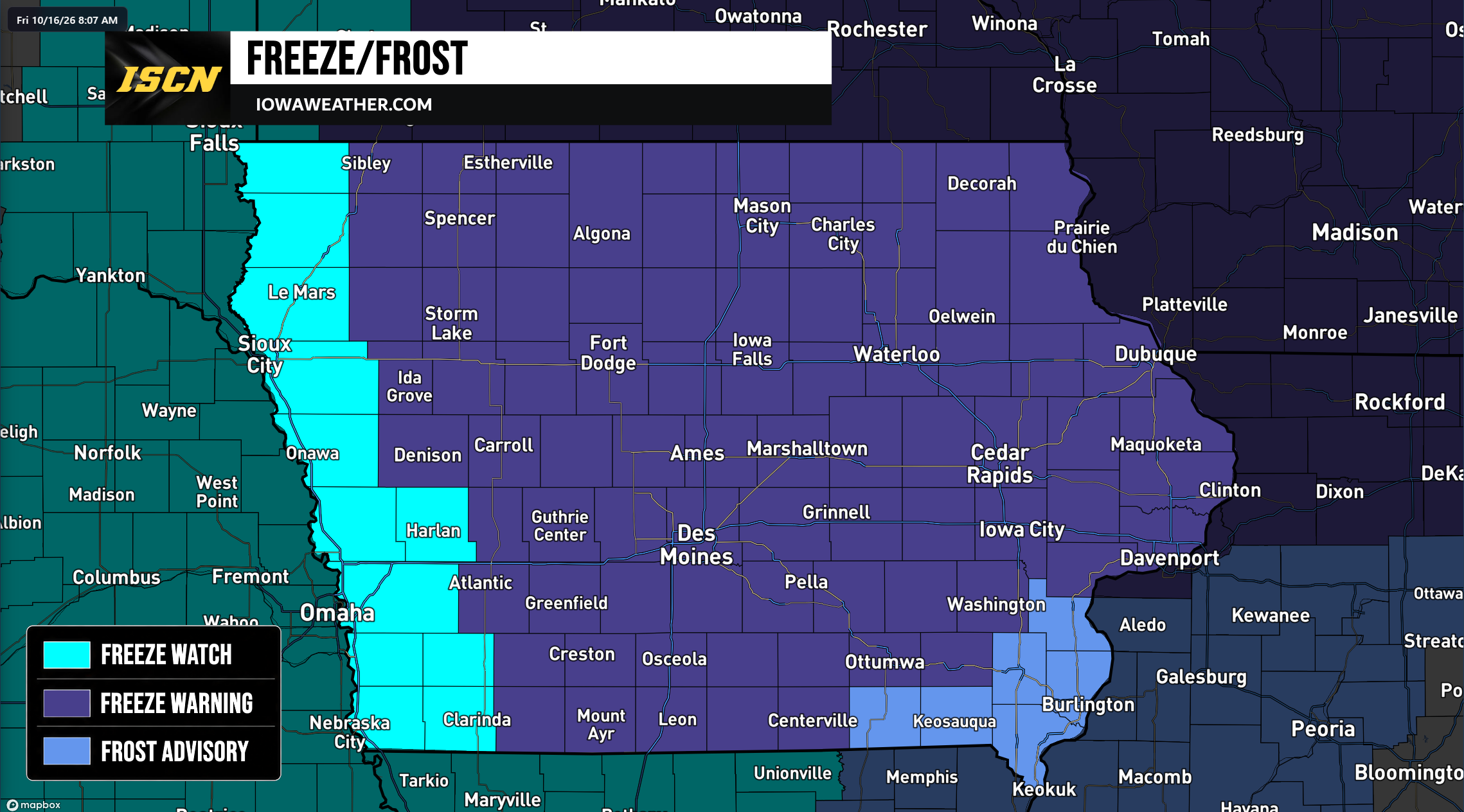 Widespread Freeze Warnings Issued Across Iowa as Temperatures Could Drop Into the 20s Saturday Morning
A widespread round of freezing temperatures is expected across Iowa early Saturday morning, prompting the National Weather Service to issue Freeze Warnings, Freeze Watches, and Frost Advisories for the entire state…
-
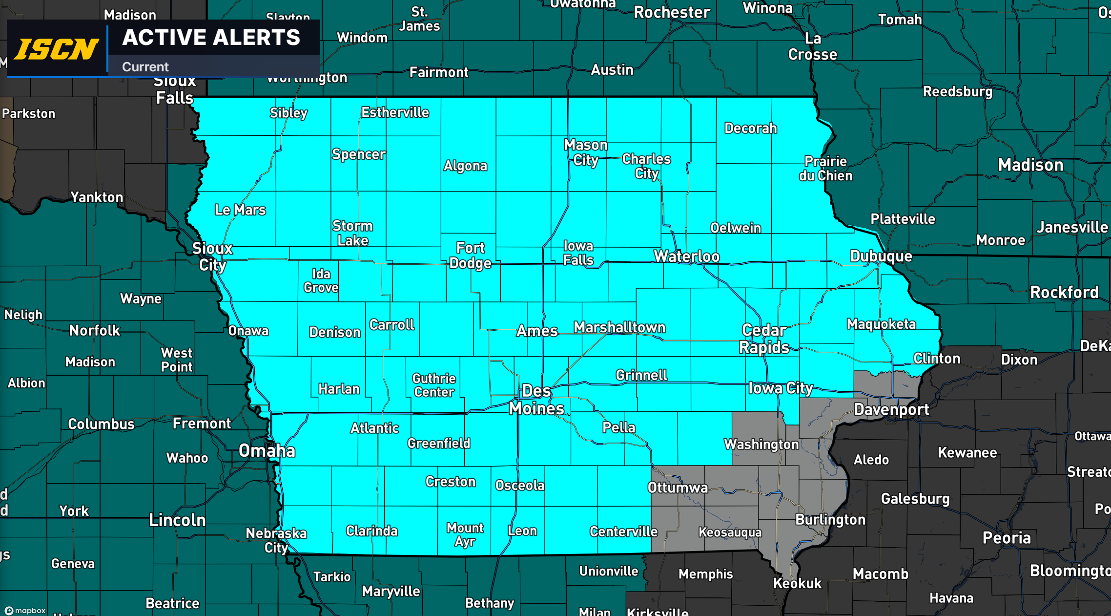 Freeze Watch Issued for Much of Iowa as Temperatures Could Drop Into the 20s Saturday Morning
Much of Iowa could experience a widespread freeze this weekend as colder air moves into the region, bringing some of the lowest temperatures of the fall season. The National Weather Service has issued a Freeze Watch for…
-
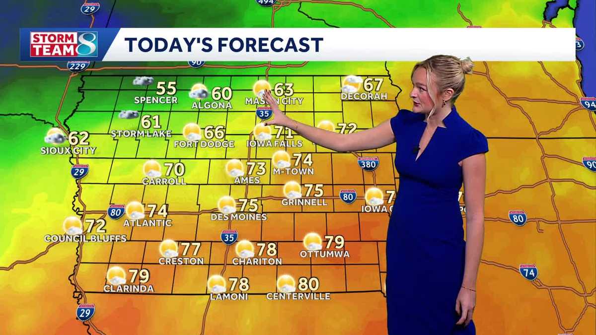 Iowa weather: A beautiful Sunday before rain chances ramp up
It'll be another perfect fall day today with high temperatures slightly cooler than yesterday in the mid 70s and less of a breeze. A cold front slowly moving across the state today will keep temperatures in northern…
-
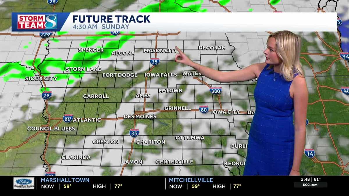 Iowa weather: A warm weekend before spotty showers next week
We'll have a great day for outdoor plans this Saturday with highs warmer than average in the upper 70s with a mix of sun and clouds. It'll be less gusty compared to yesterday but still breezy with gusts up to 20mph…
-
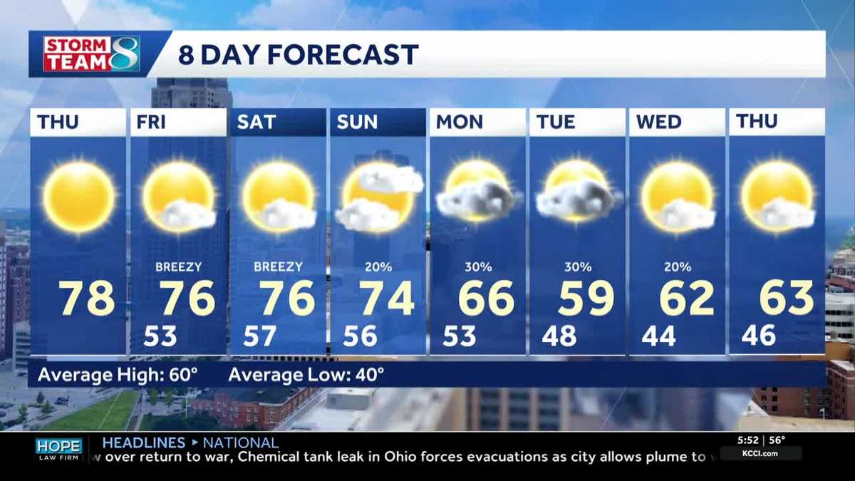 Iowa weather: Warm days continue into the weekend
We will continue to enjoy sunny weather for the rest of the week. Today is no exception, with highs in the mid- to upper-70s and south winds around 5 to 10 mph. A light layer may still be warranted for some of us, with…
-
 Corn and Soybean Harvest Behind Schedule in Iowa, First Frost of Season Seen
Corn and soybean harvest is behind schedule in Iowa. Ninety-eight percent of corn has reached maturity, which is even with the five-year average. Twenty-six percent of corn has been harvested, which is 24 percentage…
-
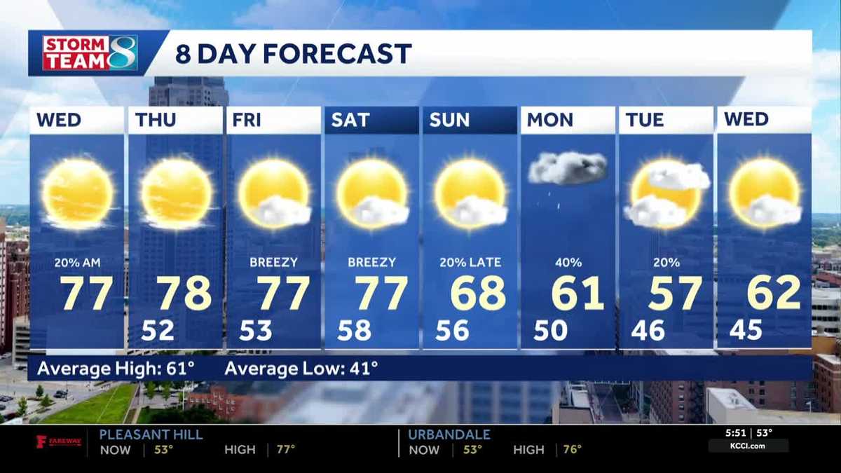 Iowa weather: Warm, dry conditions will come to an end next week
Clouds will linger a bit this morning, but most of the state will stay dry. Interactive Radar | Weather Alerts | Skycams There have been a few showers early this morning to the south and west, but the moisture is…
-
 Warm and dry weather pattern holds across Iowa
KWWL Unseasonably warm and dry conditions will continue tonight across Waterloo and much of Iowa. Patchy morning fog is possible, with a chance of rain returning this weekend.
-
 Thanksgiving weather predictions are out. What almanacs say for Iowa.
Iowa has finally been blessed with sunshine after September became the wettest month in 112 years. But will that sunshine last until Thanksgiving? Thanksgiving in 2026 falls on Thursday, Nov. 26. The holiday is always…
Air quality
Acceptable. Unusually sensitive people should consider limiting prolonged outdoor exertion.
Forecast
- SunModerate (68)
North-central Iowa, IA reporting area · 1 hr ago. Data from AirNow (EPA and its state, local and tribal partners); preliminary and subject to change.
Sun & moon
Almanac
MonthlyMason City, records since 1893. Normals 1991–2020. Data from NOAA's Regional Climate Centers (ACIS).
Nearby
- Austin 60 km
- Albert Lea 57 km
- Clear Lake 15 km
- Charles City 44 km
- Hampton 46 km
- Forest City 37 km
- Osage 35 km
- Garner 33 km
- Belmond 48 km
- Lake Mills 40 km
Forecasters' discussion
From the National Weather Service office in DMX, issued 3 hrs ago
Key Messages
- Light rain chances (30 to 50%) north and west tonight into Monday. Cloudy and mild central and south.
- Relatively active pattern with multiple rain chances through the week. Widespread rain and thunderstorm chances (40 to 70%) return on Wednesday night into Thursday morning and again Friday through Saturday.
Short Term
Issued at 213 PM CDT Sun Oct 25 2026
All but far northwest Iowa is sitting under sunny skies and dry conditions today. Northwest Iowa has seen slightly cloudier conditions, along with a sprinkle or light shower drifting through this morning. Surface analysis shows a weak quasi-stationary boundary stretched from southwest Iowa up to northeast Iowa, bisecting central Iowa. Along the boundary is an area of relative low pressure and weakening of winds, separating surface high pressure to the northwest and southeast. Areas north and west of the boundary, are characterized by cooler temperatures in the 50s to low 60s and light north northeasterly winds. Areas to the south and east of the boundary are seeing slightly warmer temperatures in the upper 60s to mid 70s and calm winds or weak southerly flow.
Through this evening, the high to the northwest is expected to meander south and eastward, pushing the stationary boundary slightly farther south and eventually flipping flow to more easterly by Monday. At the same time, a 500 mb wave and coincident surface low will be lifting northeastward into the Plains, bringing more rain chances to the region through Monday. Most of this activity will stay to the west of the state tonight, but works it's way into our northwestern CWA on Monday. Some CAM guidance does depict shower activity farther south and east into central Iowa Monday night into Tuesday morning, but dry, easterly surface flow will likely inhibit most of this rain from reaching the ground. Therefore, the forecast remains dry for all but western and northern Iowa through Tuesday morning. Cloud cover will span much of Iowa on Monday morning, but some afternoon clearing in southern Iowa should help boost temperatures into the mid 70s. Temperatures only reach the 50s to low 60s in northern Iowa where cloud cover will be more persistent through the day.
Long Term
Issued at 213 PM CDT Sun Oct 25 2026
A southwest to zonal flow patterns sets up from Tuesday through the remainder of the forecast, with multiple shortwaves passing through at various times in the week. This will keep the forecast semi- active, with at least low chances for rain in Iowa each day Wednesday through Sunday. Wednesday night into early Thursday will be our next chance for widespread rain, primarily overnight. This precipitation may also be accompanied by some marginal instability (~500 to 1000 J/kg of MUCAPE), as well as a healthy 30 to 40 kt low level jet overnight. It's of course far too early to get deep into specifics, but if that scenario plays out, a few stronger storms could be possible in that Wednesday/Thursday timeframe, likely leaning toward elevated, nocturnal storms for our area.
Beyond the mid-week system, there is actually pretty good agreement among deterministic and ensemble guidance for another wave and healthy plume of moisture to lift up into Iowa Friday through Saturday, bringing the potential for more widespread rain and thunderstorms. Both 23.13z NBM probabilities and 23.12z LREF (GEFS, EPS, and GEPS driven) probabilities show a widespread 40 to 50% chance for greater than 0.01" of 6 hr rainfall throughout Friday into Friday evening, increasing to a 50 to 70% probability for the same on Saturday. The LREF cluster analysis is also quite impressive, with 3 of the 4 cluster solutions indicating a 50% or greater chance for rain on Saturday, and the remaining solution depicting stronger ridging and a delayed arrival of the rainfall into Saturday night or Sunday. All this to say, the current guidance is pointing toward a good chance for rain falling over the area next weekend. However, keep in mind that while ensemble models are more dispersive, they do still change as the pattern does. We will have to keep an eye on how things trend in the coming days. Regardless, the current forecast looks relatively active for Iowa through the long term.
Aviation
Issued at 1218 PM CDT Sun Oct 25 2026
VFR conditions prevail through the TAF period. Primary feature is the wind shift currently around KDSM and KALO, which is leading to light and variable winds. This will continue sagging southward today and tonight, eventually flipping flow to more north northeasterly at KDSM, KALO, and KOTM. That said, winds will be light around 10 kts or less through that entire period. Mid- level cloud cover is supposed to increase tonight, with some lower MVFR clouds drifting over northwest Iowa. That said, the low clouds stay away from any TAF sites.
Forecasts, observations and alerts in the United States come from the National Weather Service (NOAA); radar from NOAA's Multi-Radar Multi-Sensor system; satellite imagery from NASA's Global Imagery Browse Services (GIBS) and NOAA's GOES satellites; the map from the U.S. Geological Survey's National Map; air quality from AirNow (EPA and its partners); hurricane information from the National Hurricane Center; climate normals and records from NOAA's Regional Climate Centers (ACIS). Forecasts outside the United States and the UV index: MET Norway (CC BY 4.0); observations outside the U.S.: airport reports via NOAA's Aviation Weather Center. Place names: GeoNames (CC BY 4.0). Data are copied on a schedule and may lag the sources; for warnings that affect your safety, follow your local National Weather Service office and emergency officials. Weather news is drawn from the 4Conservative index and reflects what the press published. Terms of use. How to use Weather