Install
Emmetsburg, IA Weather
Current conditions
Forecast for this hour (no station report in the last two hours)
Forecast
10-day-
Today
Partly sunny. High near 76, with temperatures falling to around 69 in the afternoon. West southwest wind 7 to 14 mph, with gusts as high as 24 mph.
-
Tonight
A slight chance of rain showers between 7pm and 2am. Mostly cloudy. Low around 46, with temperatures rising to around 48 overnight. North wind around 9 mph. Chance of precipitation is 20%. New rainfall amounts less than a tenth of an inch possible.
-
Sunday
Mostly cloudy, with a high near 61. North northeast wind around 10 mph.
National Weather Service forecast updated 7 hrs ago.
Hourly
Hourly forecast- Now71°
- 5 PM69°
- 6 PM68°
- 7 PM63°15%
- 8 PM58°19%
- 9 PM56°21%
- 10 PM54°23%
- 11 PM53°15%
- Sun12 AM52°20%
- 1 AM51°19%
- 2 AM50°11%
- 3 AM50°10%
- 4 AM49°
- 5 AM48°
- 6 AM48°
- 7 AM48°
- 8 AM46°
- 9 AM49°
- 10 AM53°
- 11 AM55°
- 12 PM57°
- 1 PM58°
- 2 PM59°
- 3 PM59°
10-day forecast
Details- TodayOct 24Partly Sunny23%46°76°
- SunOct 25Mostly Cloudy34%41°61°
- MonOct 26Rain Showers Likely58%45°57°
- TueOct 27Rain Showers Likely58%48°63°
- WedOct 28Chance Showers And Thunderstorms38%41°66°
- ThuOct 29Sunny then Slight Chance Rain Showers23%45°64°
- FriOct 30Chance Rain Showers48%44°63°
- SatOct 31Rain0.07 in58°68°
- SunNov 1Cloudy0.06 in58°68°
- MonNov 2Heavy rain0.44 in59°68°
Days after the National Weather Service's seven are MET Norway's outlook, a computer model with no forecaster's review.
Radar
Full mapWeather news in Iowa
More weather news-
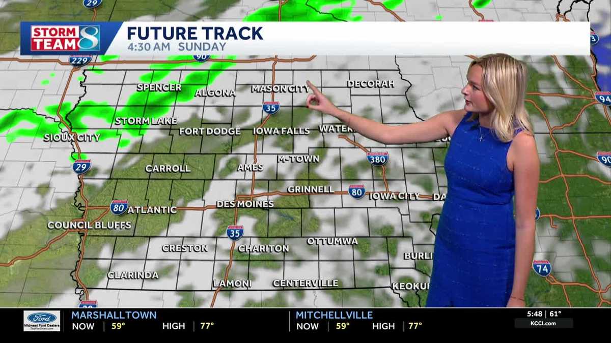 Iowa weather: A warm weekend before spotty showers next week
We'll have a great day for outdoor plans this Saturday with highs warmer than average in the upper 70s with a mix of sun and clouds. It'll be less gusty compared to yesterday but still breezy with gusts up to 20mph…
-
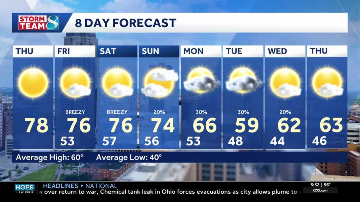 Iowa weather: Warm days continue into the weekend
We will continue to enjoy sunny weather for the rest of the week. Today is no exception, with highs in the mid- to upper-70s and south winds around 5 to 10 mph. A light layer may still be warranted for some of us, with…
-
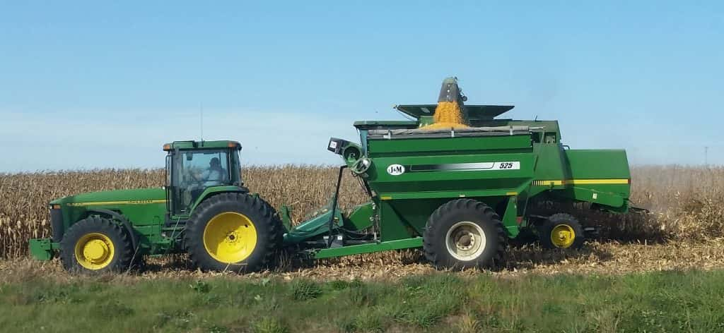 Corn and Soybean Harvest Behind Schedule in Iowa, First Frost of Season Seen
Corn and soybean harvest is behind schedule in Iowa. Ninety-eight percent of corn has reached maturity, which is even with the five-year average. Twenty-six percent of corn has been harvested, which is 24 percentage…
-
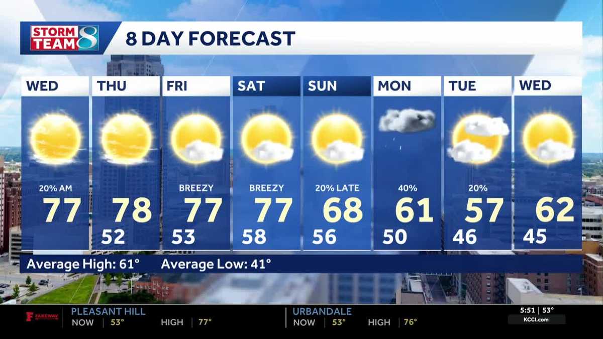 Iowa weather: Warm, dry conditions will come to an end next week
Clouds will linger a bit this morning, but most of the state will stay dry. Interactive Radar | Weather Alerts | Skycams There have been a few showers early this morning to the south and west, but the moisture is…
-
 Warm and dry weather pattern holds across Iowa
KWWL Unseasonably warm and dry conditions will continue tonight across Waterloo and much of Iowa. Patchy morning fog is possible, with a chance of rain returning this weekend.
-
 Thanksgiving weather predictions are out. What almanacs say for Iowa.
Iowa has finally been blessed with sunshine after September became the wettest month in 112 years. But will that sunshine last until Thanksgiving? Thanksgiving in 2026 falls on Thursday, Nov. 26. The holiday is always…
-
 Sunny skies, warm temperatures across central Iowa today
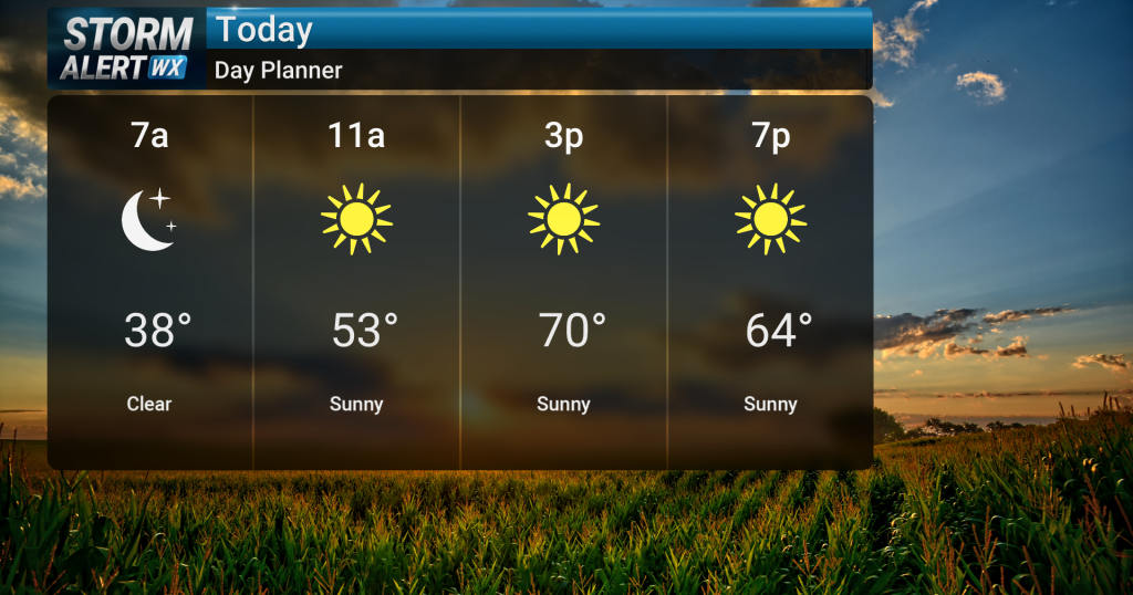
Sunny skies are expected today across central and northern Iowa as warm conditions persist. High temperatures will reach the low 70s, with breezy conditions possible in northwest Iowa during the afternoon with gusts up…
-
 Iowa weather: 70s and sunshine continues
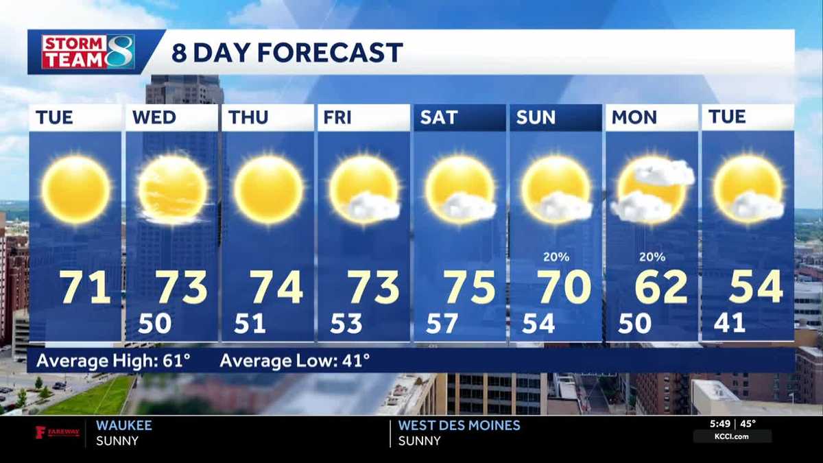
Another great day for outdoor plans is ahead for our Tuesday. High pressure is in place to our east, which will keep us dry all day. Our temperatures are still warmer than average, and we'll top out in the low 70s…
-
 Lane shift planned on Mount Vernon Drive in Iowa City
Drivers on Mount Vernon Drive in Iowa City should expect shifted lanes starting Tuesday, Oct. 20, weather permitting.The lane shift will affect the stretch betw ... Lane shift planned on Mount Vernon Drive in Iowa City…
-
 Iowa weather: Dry day before gradual warmup
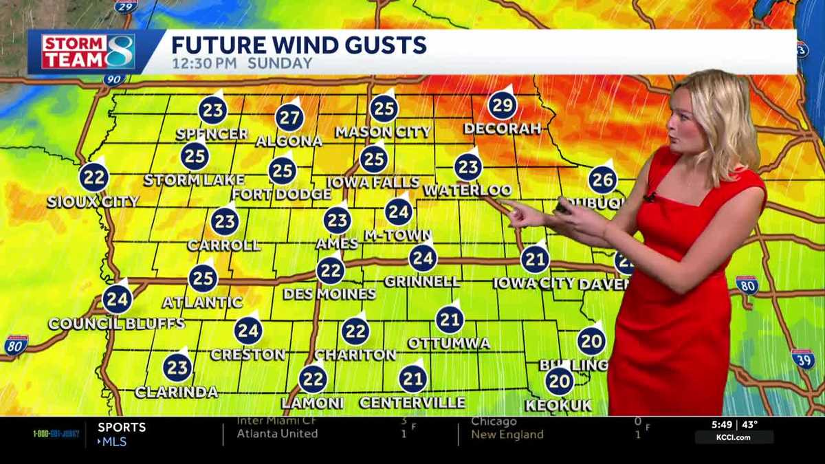
It'll be a great day for outdoor plans with highs in the mid 60s and plenty of sunshine. High pressure to our east will keep our skies clear. It'll feel breezy with a wind out of the south gusting up to 25 mph at times…
Air quality
Acceptable. Unusually sensitive people should consider limiting prolonged outdoor exertion.
Forecast
- SatModerate (61)
- SunGood (45)
Northwest Iowa, IA reporting area · 1 hr ago. Data from AirNow (EPA and its state, local and tribal partners); preliminary and subject to change.
Sun & moon
Almanac
MonthlyEmmetsburg, records since 1893. Normals 1991–2020. Data from NOAA's Regional Climate Centers (ACIS).
Nearby
- Spencer 38 km
- Estherville 34 km
- Algona 37 km
- Spirit Lake 48 km
- Humboldt 58 km
- Milford 45 km
Forecasters' discussion
From the National Weather Service office in DMX, issued 14 hrs ago
Key Messages
- Warm and dry conditions continue Saturday and Sunday for most of Iowa with highs in the mid to upper 70s.
- Spotty showers possible in northern Iowa on Sunday, along with cooler temperatures in the mid 50s to low 60s.
- Off and on spotty light rain chances through the upcoming week with temperatures in the 60s to low 70s.
Short Term
Issued at 214 AM CDT Sat Oct 24 2026
Scattered clouds cover the area early this morning with light wind from the south-southeast. A surface low sits across North Dakota and Manitoba with trailing trough axis across the plains and attached to the developing southern stream cutoff low. As northern and southern streams separate today the approaching cold front stalls out. This keeps Iowa dry and warm today with precipitation across South Dakota and Nebraska. Winds may occasionally gust near 20 mph, but will be lighter than what occurred on Friday. By later this evening the surface boundary begins to sag into northern Iowa with spotty light showers possible. These continue off and on Sunday as the cloud front stalls out across northern Iowa. This will result in a rather notable temperature gradient across the area with far northern Iowa in the mid 50s while most of the state reaches the 70s.
Long Term
Issued at 238 PM CDT Fri Oct 23 2026
On Monday the southern stream closed low will transition into a negatively tilted more open wave and slip north into the midwest. Some CAPE is tucked right in the triple point, but the speed of the system keeps the warm sector out of the state until the overnight hours. CAPE will build on the warm sector of the front as it stalls across the middle of the state. Much of next week will have split weather between the north and southern half. The northern half will have more seasonal temperatures in the low 60s whereas 70 degree highs will be common across the south. Rain and some thunderstorms will remain in the picture. This pattern will remain until the east CONUS ridge is broken down by a stronger system from the west.
Aviation
Issued at 1029 PM CDT Fri Oct 23 2026
VFR conditions are expected to prevail through the TAF period. Main impact through the overnight will be LLWS particularly at KFOD/KMCW. Though surface winds near 10 knots will be present, latest analysis is showing 35-40 knot winds at 2kft with ~30 degrees of veering. The LLWS is expected to mix out shortly after sunrise. There is a low (~20%) chance of showers at KFOD/KMCW between 00-06z, and will need to be monitored for PROB30/TEMPO inclusion in future issuances.
Forecasts, observations and alerts in the United States come from the National Weather Service (NOAA); radar from NOAA's Multi-Radar Multi-Sensor system; satellite imagery from NASA's Global Imagery Browse Services (GIBS) and NOAA's GOES satellites; the map from the U.S. Geological Survey's National Map; air quality from AirNow (EPA and its partners); hurricane information from the National Hurricane Center; climate normals and records from NOAA's Regional Climate Centers (ACIS). Forecasts outside the United States and the UV index: MET Norway (CC BY 4.0); observations outside the U.S.: airport reports via NOAA's Aviation Weather Center. Place names: GeoNames (CC BY 4.0). Data are copied on a schedule and may lag the sources; for warnings that affect your safety, follow your local National Weather Service office and emergency officials. Weather news is drawn from the 4Conservative index and reflects what the press published. Terms of use.