Install
Diamond Head / Kapahulu / Saint Louis Heights, HI Weather
Current conditions
Observed at Kaneohe, Marine Corps Air Station · 50 min ago
Forecast
10-day-
Monday Night
Scattered rain showers. Mostly cloudy, with a low around 74. Northeast wind around 8 mph. Chance of precipitation is 40%. New rainfall amounts less than a tenth of an inch possible.
-
Tuesday
Occasional rain showers. Cloudy, with a high near 85. Northeast wind 7 to 13 mph. Chance of precipitation is 80%. New rainfall amounts between three quarters and one inch possible.
-
Tuesday Night
Occasional rain showers. Cloudy, with a low around 73. Northeast wind around 13 mph. Chance of precipitation is 90%. New rainfall amounts between 1 and 2 inches possible.
National Weather Service forecast updated 1 day ago.
Hourly
Hourly forecast- Now76°17%
- 9 PM76°17%
- 10 PM76°17%
- 11 PM76°17%
- Tue12 AM75°38%
- 1 AM75°38%
- 2 AM75°38%
- 3 AM74°38%
- 4 AM74°38%
- 5 AM74°38%
- 6 AM74°52%
- 7 AM74°52%
- 8 AM75°52%
- 9 AM78°52%
- 10 AM81°52%
- 11 AM84°52%
- 12 PM85°84%
- 1 PM85°84%
- 2 PM85°84%
- 3 PM85°84%
- 4 PM84°84%
- 5 PM81°84%
- 6 PM78°86%
- 7 PM76°86%
10-day forecast
Details- SunOct 25Isolated Rain Showers15%73°86°
- TodayOct 26Mostly Sunny then Isolated Rain Showers38%74°86°
- TueOct 27Occasional Rain Showers86%73°85°
- WedOct 28Occasional Rain Showers89%75°84°
- ThuOct 29Occasional Showers And Thunderstorms75%76°85°
- FriOct 30Chance Rain Showers57%76°86°
- SatOct 31Scattered Rain Showers52%75°86°
- SunNov 1Cloudy0.02 in74°80°
- MonNov 2Rain0.08 in72°76°
- TueNov 3Partly cloudy0.02 in71°76°
Days after the National Weather Service's seven are MET Norway's outlook, a computer model with no forecaster's review.
Radar
Full mapWeather news in Hawaii
More weather news-
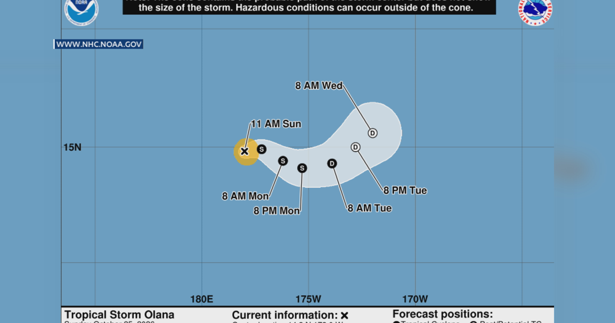 Tropical Storm Olana: Why Hawaii Should Stay Prepared, Even Without a Direct Hit
Researchers say even storms that don't directly hit us, can still have an impact. HONOLULU (Island News) -- Tropical Storm Olana is one to watch, but researchers say it’s a reminder that even storms that don’t directly…
-
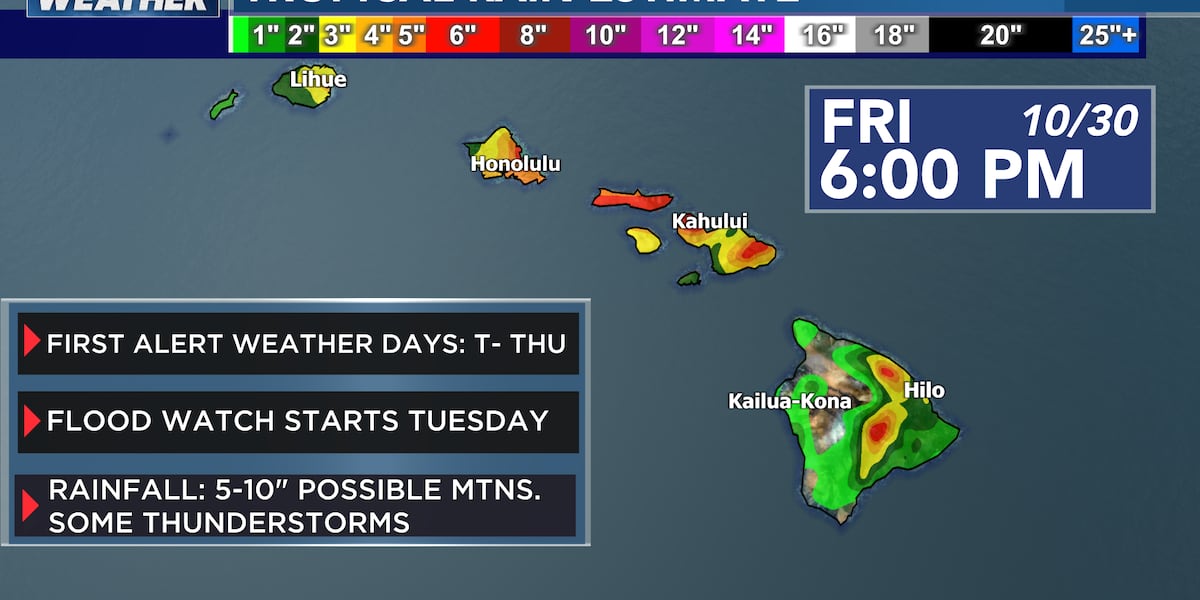 First Alert Forecast: Thunderstorms and periods of heavy rain heading to Hawaii Tuesday into Wednesday
HONOLULU (HawaiiNewsNow) - Getting ready for heavy periods of rain and thunderstorms! First Alert Weather Days Tuesday into Wednesday with lingering rain into Thursday. Hawaiʻi’s weather is about to take a significant…
-
 First Alert Forecast: Heavy rain, thunderstorms, and strong winds on the way
HONOLULU (HawaiiNewsNow) - A wet combination of deep tropical moisture and atmospheric instability is heading our way. Tropical Depression Olana sits about 1200 miles to our southwest. A low pressure trough extends east…
-
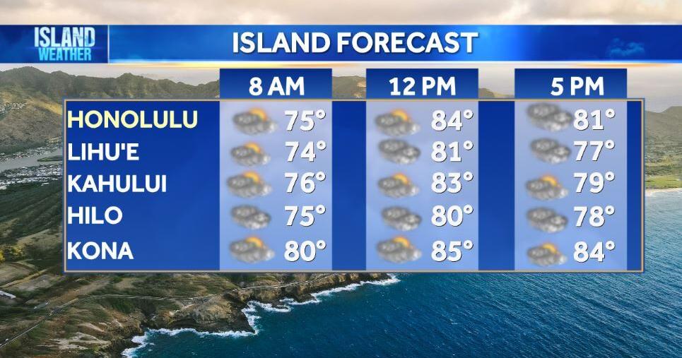 Monday Weather | Light showers today ahead of heavy rain threat across Hawaiʻi
HONOLULU (Island News) -- Hawaiʻi will see scattered showers and light to moderate northeast trade winds today, with winds expected to gradually weaken. However, a much wetter weather pattern is expected to develop…
-
 Guy Hagi's HNN Sunrise surf and weather report for October 26, 2026
A new federal grant will help hundreds of Hawaiʻi Island students prepare for college and future careers. Guy Hagi's HNN Sunrise surf and weather report for October 26, 2026 October 25, 2026 First Alert Weather Days…
-
 First Alert Forecast: Heavy rain, possible flooding starting Monday afternoon
HONOLULU (HawaiiNewsNow) - Sunshine with light trades is the forecast for today with some mauka clouds. Tomorrow is a transition weather day with a series of low pressure systems moving toward Hawaii that will bring…
-
 Now brace for Storm Chloe! More wild weather could be on its way just hours after Storm Boelo left two dead and more than 160,000 without power
Britons have been warned to brace for more rain on Monday after Storm Boelo battered the nation. Winds of up to 85mph and heavy downpours wreaked havoc over the weekend, with travel disrupted and an estimated 160,000…
-
 Tropical downpours may lead to flooding, mudslides and travel disruptions in Hawaii during late-October
AccuWeather meteorologists are closely monitoring a batch of showers and thunderstorms over the central Pacific that has the potential to further organize and track near Hawaii, bringing heavy rain in the coming days…
-
 First Alert Forecast: Tuesday & Wednesday to be First Alert Weather days
HONOLULU (HawaiiNewsNow) - This coming Tuesday and Wednesday have been designated as First Alert Weather days. An area of low pressure developing southwest of the islands will move closer to Hawaii over the next couple…
-
 First Alert Forecast: First alert weather days next week as heavy rain approaches the state
HONOLULU (HawaiiNewsNow) - First Alert Weather Days for Oahu, Maui County and Big Island Tuesday into Wednesday and highlighting Thursday in red with the potential of lingering rain. Thunderstorms may develop as a…
Air quality
Forecast
- MonGood
- TueGood
Honolulu, HI reporting area. Data from AirNow (EPA and its state, local and tribal partners); preliminary and subject to change.
Sun & moon
Almanac
MonthlyHonolulu Intl Ap, records since 1940. Normals 1991–2020. Data from NOAA's Regional Climate Centers (ACIS).
Nearby
- Honolulu 6 km
- East Honolulu 10 km
- Pearl City 22 km
- Makakilo / Kapolei / Honokai Hale 30 km
- Joint Base Pearl Harbor Hickam 16 km
- Aliamanu / Salt Lakes / Foster Village 14 km
- Kailua 16 km
- Waipahu 24 km
- ʻEwa Gentry-West Loch 24 km
- Kaneohe 14 km
- Makiki / Lower Punchbowl / Tantalus 5 km
- Mililani Town 29 km
Forecasters' discussion
From the National Weather Service office in HFO, issued 43 min ago
Synopsis
Light trade winds will produce rather dry conditions over most areas into tonight. Chances for heavy showers will increase during the day on Tuesday as developing low pressure and deep tropical moisture approach the islands from the southwest. The trough, or possibly a weak low, will pass over the island chain Tuesday night through Wednesday night, bringing the threat of heavy flooding rainfall and thunderstorms. The trough will weaken Thursday and Friday, though humid conditions with a chance of heavy showers may linger. Trade winds may briefly redevelop Saturday, followed by stronger northeast winds Sunday.
Short Term Update
No major changes made. Previous forecast looks good.
Prev Discussion
Issued at 345 PM HST Mon Oct 26 2026
A stable light trade wind flow is in place this afternoon, but a flood threat looms during the next few days. Trade winds are weak as a broad and deep surface low meandering about 950 miles to the northeast is keeping the local pressure gradient loose. A ridge aloft centered just south of the islands is maintaining stable conditions with a solid inversion. Little rain has fallen from Kauai to Maui, where available moisture has been limited and the sounding revealed an inversion at 6,000 ft. Scattered showers have been observed on Big Island slopes, where a small pocket of shallow moisture remains stalled. Westerly winds on the highest elevations of the Big Island summits will support a Wind Advisory into the evening then briefly ease overnight.
Little will change overnight, though increasing high clouds will signal a developing heavy rain threat. While Tropical Depression Olana will remain far to the west and not directly impact the area, a surface trough originating in the western Pacific and extending through and several hundred miles east of the depression will slowly drift to within 300 miles southwest of Hawaii tonight. Meanwhile, an upper level trough, now centered over 1,000 miles west of Kauai, will advance eastward, tapping moisture aloft from thunderstorms along the surface trough and sending increased high clouds overhead.
Chances for heavy rainfall and thunderstorms will increase during the day on Tuesday. The upper level trough will drift closer to the state. The entrance region of a jet stream aloft along the eastern flank of the feature will steadily erode the ridge aloft early Tuesday and then provide large scale ascent over the region later in the day. This will pull the surface trough toward the islands, spreading a deep tropical airmass with precipitable water increasing to around 2 inches by afternoon. Chances for widespread rain should remain relatively low in the morning as the Flood Watch for all islands goes into effect, but as moisture increases later in the day, the flood threat will slowly increase.
The flood threat will be greatest Tuesday night through Wednesday night. The jet stream aloft will provide its strongest ascent over the region, pulling the surface trough over the state and possibly generating an elongated surface low near or over the islands. A deep tropical airmass with precipitable water in excess of 2.25 inches will accompany this system and provide ample fuel for heavy rainfall. The GFS and ECMWF show the surface trough stretching across the central portion of the island chain, favoring Oahu and Maui County for the greatest rainfall totals. However, all islands will have a heavy rain threat, and slow-moving cells anchoring on terrain could drop very heavy rainfall in a short period of time, leading flash flooding anywhere. If a surface low does form along the trough, breezy east winds could form just north of the low, while gusty southerly winds for to the south. Even at this time, it is too early to tell if the low and the stronger winds will materialize, but another round of strong winds is likely over the high summits of Big Island. To further complicate the scenario, strong thunderstorms with localized damaging gusty winds may develop along and just south of the surface trough on Wednesday.
The threat of heavy rainfall will diminish Thursday and Friday. The jet stream aloft will lift to the north, and weak upper level anticyclonic flow will develop, ceasing the large scale ascent over the islands. A weak surface trough and ample moisture will likely linger, providing some chance for spotty heavy showers that could require the Flood Watch to be extended.
Aviation
Issued at 345 PM HST Mon Oct 26 2026
A gentle trade wind pattern will continue this evening and become more light and variable tonight with localized land breezes developing across many areas. An area of moisture lingering around the Big Island will bring some showers throughout this evening with periods of MVFR conditions possible mainly over windward Big Island. Otherwise, VFR conditions should prevail through the night tonight.
A band of deep tropical moisture will arrive from the southwest Tuesday and will likely bring periods heavy rain and isolated thunderstorms. MVFR to IFR conditions should be expected at many areas across the state starting as early as Tuesday afternoon and persisting into Wednesday. The heaviest rain bands will likely arrive Tuesday night into Wednesday, where periods of LIFR conditions will be possible under the heavier rain bands.
No AIRMETs in effect, but we will need AIRMET SIERRA for mountain obscuration over majority of the state as the tropical moisture arrives.
AIRMET ZULU for moderate icing will also be possible at roughly between FL180 to FL270 on Tuesday.
Forecasts, observations and alerts in the United States come from the National Weather Service (NOAA); radar from NOAA's Multi-Radar Multi-Sensor system; satellite imagery from NASA's Global Imagery Browse Services (GIBS) and NOAA's GOES satellites; the map from the U.S. Geological Survey's National Map; air quality from AirNow (EPA and its partners); hurricane information from the National Hurricane Center; climate normals and records from NOAA's Regional Climate Centers (ACIS). Forecasts outside the United States and the UV index: MET Norway (CC BY 4.0); observations outside the U.S.: airport reports via NOAA's Aviation Weather Center. Place names: GeoNames (CC BY 4.0). Data are copied on a schedule and may lag the sources; for warnings that affect your safety, follow your local National Weather Service office and emergency officials. Weather news is drawn from the 4Conservative index and reflects what the press published. Terms of use. How to use Weather