Install
Winder, GA Weather
Current conditions
Observed at Winder, Winder-Barrow Airport · 1 hr ago
Forecast
10-day-
Today
Sunny, with a high near 75. Northeast wind 0 to 5 mph.
-
Tonight
Mostly clear, with a low around 47. North wind 0 to 5 mph.
-
Wednesday
Sunny, with a high near 74. North wind 0 to 5 mph.
National Weather Service forecast updated 11 hrs ago.
Hourly
Hourly forecast- Now71°
- 2 PM73°
- 3 PM74°
- 4 PM75°
- 5 PM74°
- 6 PM71°
- 7 PM67°
- 8 PM62°
- 9 PM60°
- 10 PM57°
- 11 PM55°
- Wed12 AM53°
- 1 AM52°
- 2 AM51°
- 3 AM50°
- 4 AM48°
- 5 AM47°
- 6 AM47°
- 7 AM47°
- 8 AM47°
- 9 AM50°
- 10 AM57°
- 11 AM62°
- 12 PM67°
10-day forecast
Details- TodayOct 20Sunny47°75°
- WedOct 21Sunny46°74°
- ThuOct 22Sunny48°77°
- FriOct 23Sunny46°72°
- SatOct 24Sunny44°68°
- SunOct 25Sunny44°71°
- MonOct 26Sunny47°75°
- TueOct 27Mostly sunny49°77°
- WedOct 28Cloudy52°72°
- ThuOct 29Cloudy52°76°
Days after the National Weather Service's seven are MET Norway's outlook, a computer model with no forecaster's review.
Radar
Full mapWeather news near Winder
More weather news-
 First Alert Weather: Onshore winds continue, sunny start to the week
104.5 WOKV First Alert Weather: Onshore winds continue, sunny start to the week JACKSONVILLE, Fla. â Hereâs what the First Alert Weather Team said you can expect for the forecast: - This evening will be dry and…
-
 Forecast: More nice weather, less wind.
Tampa Bay 28 Good morning, Tampa Bay! If youâre stepping out early this Tuesday morning to walk the dog, grab coffee, or squeeze in a sunrise workout, it feels fantastic out there That dry, post-frontal air mass is…
-
 Storm Austen to batter South West with heavy rain and 70mph winds
The South West is being warned to prepare for an onslaught of heavy rain and strong winds as the first named storm of the season arrives this week. Storm Austen is the first named storm of the season and is set to bring…
-
 Breezy winds, cool mornings and mild afternoons combine for lovely Suncoast weather.
SARASOTA, Fla. (WWSB) - The main weather concern, for some Suncoast residents, this week will be elevated wind speeds. This will cause Gulf waters to remain choppy for the better part of the week. It also means that…
-
 Met Office names 38 UK areas that could be hit with 70mph winds this week
A severe weather warning for wind has been issued The Met Office has warned that parts of the country could be hit with winds as strong as 70mph this week as a yellow weather warning has been issued by the UK weather…
-
 Warm Weather and Wind This Week
KOTA Territory News Warm Weather and Wind This Week Dry start, warmer days ahead before rain chances return to KOTA Territory Rapid City forecast: Breezy warmth, fire concerns before rain chances
-
 Winds begin to simmer as below average temps continue for Tuesday
NEW ORLEANS (WGNO) – Little by little, southeast Louisiana and southern Mississippi warms up a smidge bit as wind gusts along our coastal areas begin to simmer on Tuesday. Early morning hours, wind gusts along coastal…
-
 Daily weather tracker: Heavy rain alert for southern India; strong winds forecast over Arabian Sea
IMD has issued an orange alert for Tamil Nadu, Puducherry and Karaikal, warning of heavy to very heavy rainfall of up to 204.4mm on October 20 2026. Kerala, Mahe, coastal Andhra Pradesh and the Andaman and Nicobar…
- Strong winds and rain expected across Azerbaijan today
Azerbaijan’s National Hydrometeorological Service forecasts temperatures of 23°C in Baku, sleet and hail in mountainous areas, and winds reaching 28 meters per second. Windy weather is expected across Azerbaijan today…
-
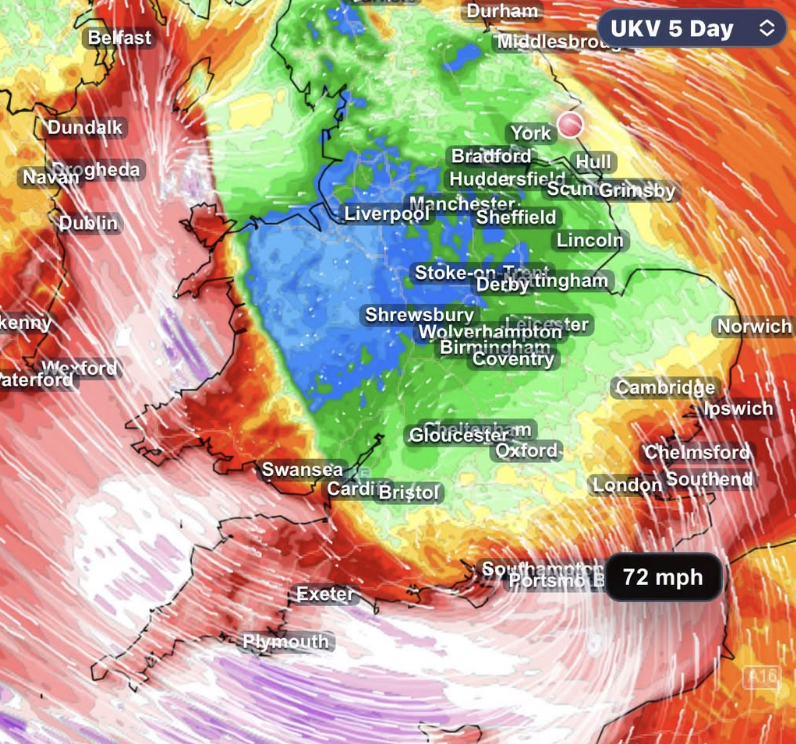 STORM AHEAD Atlantic storm threat grows as southern UK faces risk of damaging winds
Forecasters are closely monitoring a developing Atlantic low which could bring damaging winds and heavy rain to southern parts of the UK late on Thursday and into Friday. The latest forecast guidance continues to show…
Air quality
Air quality is satisfactory, and air pollution poses little or no risk.
Gainesville, GA reporting area · 1 hr ago. Data from AirNow (EPA and its state, local and tribal partners); preliminary and subject to change.
Sun & moon
Almanac
MonthlyGainesville Lee Gilmer Memorial Ap, records since 1996. Normals 1991–2020. Data from NOAA's Regional Climate Centers (ACIS).
Nearby
- Athens 32 km
- Roswell 59 km
- Johns Creek 44 km
- Alpharetta 54 km
- Brookhaven 59 km
- Stonecrest 50 km
- Dunwoody 57 km
- Peachtree Corners 46 km
- Gainesville 35 km
- Milton 56 km
- Redan 47 km
- Lawrenceville 25 km
Forecasters' discussion
From the National Weather Service office in FFC, issued 7 hrs ago
Key Messages
- Elevated fire danger is likely the next several afternoons due to low relative humidity.
- Mostly clear and dry conditions will persist for the next 7 days.
Short Term
(Today through Wednesday) Issued at 244 AM EDT Tue Oct 20 2026
Clear and dry conditions continue through the coming days. Northwest flow aloft will hold PWATs generally below 0.5" through mid week. A few shortwaves riding the backside of the broad low amplitude ridge may help to reinforce NE cool and dry flow via amplification of the trough off the east coast. However, this will coincide with a shifting of the broad ridge itself bringing temps back up into the 70s and even low 80s by Thursday afternoon.
Expect lows each morning to remain in the 40s given the continued dry conditions. Though, conditions will likely be too warm for any frost formation in the area.
No precipitation is expected through the coming days. Minimum RH values will continue to drop at or near critical thresholds for fire danger. Please continue to check with local burn permitting authorities and take proper precautions in dry fall conditions.
Long Term
(Wednesday night through Monday) Issued at 244 AM EDT Tue Oct 20 2026
Dry and Mild Weather Continues:
Guidance remains in good agreement on the forecast through the upcoming weekend, with a ridge over the South-Central US and troughing over East Coast. North and Central GA will remain dry in this setup, as primarily northerly flow keeps PWATs below 0.5" and rain chances near zero. High temperatures on Thursday will remain a bit above normal, with mid to upper 70s for most. A reinforcing shortwave within the East Coast trough will drop across the area on Friday, with a slightly cooler airmass moving in for the weekend resulting in highs in the low 70s. Low temperatures will be fairly consistent through this period, falling to the mid to upper 40s each night.
Aviation
(12Z TAFS) Issued at 633 AM EDT Tue Oct 20 2026
VFR thru period at all TAF sites. Winds light and vrb, generally N to NE by 15-16z. Winds for southern sites, MCN and CSG, may see more sustained winds of 3 to 8kts out of NE this aftn.
//ATL Confidence...12Z Update... High confidence all elements.
SM
Forecasts, observations and alerts in the United States come from the National Weather Service (NOAA); radar from NOAA's Multi-Radar Multi-Sensor system; satellite imagery from NASA's Global Imagery Browse Services (GIBS) and NOAA's GOES satellites; the map from the U.S. Geological Survey's National Map; air quality from AirNow (EPA and its partners); hurricane information from the National Hurricane Center; climate normals and records from NOAA's Regional Climate Centers (ACIS). Forecasts outside the United States and the UV index: MET Norway (CC BY 4.0); observations outside the U.S.: airport reports via NOAA's Aviation Weather Center. Place names: GeoNames (CC BY 4.0). Data are copied on a schedule and may lag the sources; for warnings that affect your safety, follow your local National Weather Service office and emergency officials. Weather news is drawn from the 4Conservative index and reflects what the press published. Terms of use.