Install
Evans, GA Weather
Current conditions
Observed at Augusta Daniel Field · 1 hr ago
Forecast
10-day-
Today
Sunny, with a high near 76. North wind 3 to 7 mph.
-
Tonight
Mostly clear, with a low around 47. North wind around 3 mph.
-
Wednesday
Sunny, with a high near 74. North wind around 6 mph.
National Weather Service forecast updated 12 hrs ago.
Hourly
Hourly forecast- Now74°
- 4 PM74°
- 5 PM75°
- 6 PM71°
- 7 PM67°
- 8 PM64°
- 9 PM59°
- 10 PM57°
- 11 PM55°
- Wed12 AM54°
- 1 AM54°
- 2 AM53°
- 3 AM52°
- 4 AM50°
- 5 AM49°
- 6 AM48°
- 7 AM47°
- 8 AM47°
- 9 AM50°
- 10 AM57°
- 11 AM62°
- 12 PM66°
- 1 PM70°
- 2 PM72°
Daily forecast
Details- TodayOct 20Sunny47°76°
- WedOct 21Sunny46°74°
- ThuOct 22Sunny47°76°
- FriOct 23Sunny47°73°
- SatOct 24Sunny45°67°
- SunOct 25Sunny45°71°
- MonOct 26Sunny47°74°
- TueOct 27Cloudy48°74°
- WedOct 28Sunny46°76°
Days after the National Weather Service's seven are MET Norway's outlook, a computer model with no forecaster's review.
Radar
Full mapWeather news near Evans
More weather news-
 Cobb climate summary & weather forecast for Friday, October 16, 2026
Tonight it is expected to be partly cloudy, with an overnight low of around 48 degrees. Sunny, with a high near 84. Light northwest wind becoming west 10 to 15 mph in the morning. Winds could gust as high as 20 mph. A…
-
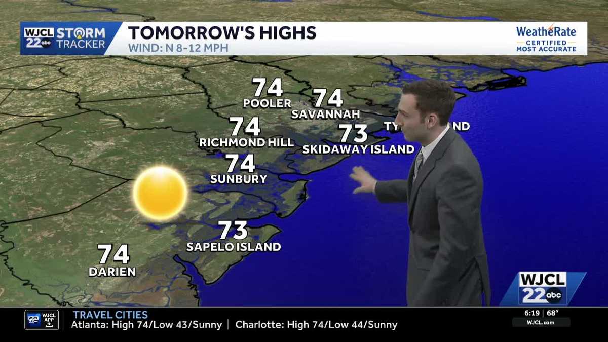 Sunshine stays in the forecast for Southeast Georgia & the Lowcountry this week
WJCL Tuesday morning will feature a clear & cold start with lows in the 40s across Southeast Georgia & the Lowcountry Similar to the start of the work week, there will be plenty of sunshine during the day, but a light…
-
 🔥 High fire danger today in Cobb County and North Georgia
Relative humidity could fall to 30% or lower for at least four hours, with northeast winds of 5 to 10 mph. Dry vegetation and low humidity will increase the risk of fires spreading. Residents should check with local…
-
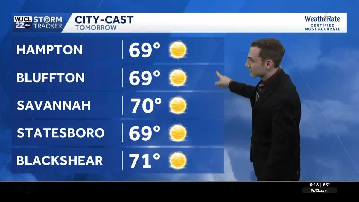 Chilly mornings & pleasant afternoons continue across Southeast Georgia & the Lowcountry this week
WJCL Monday will feature another chilly start as you head out the door with lows in the upper 40 - low 50s & a light northeasterly breeze to go along, so make sure to grab a jacket. There is still a lot of dry air in…
-
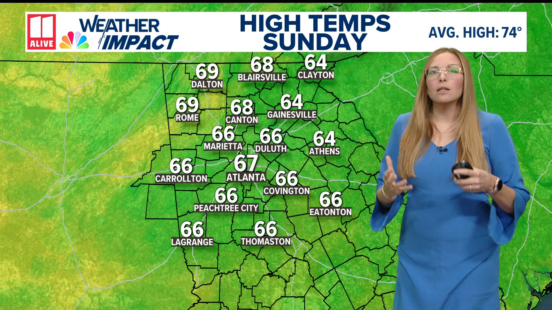 Weather forecast: cold and breezy across North Georgia
11Alive.com Weather forecast: cold and breezy across North Georgia To stream 11Alive on your phone, you need the 11Alive app. Download the 11Alive app Next up in 5 Example video title will go here for this video Before…
-
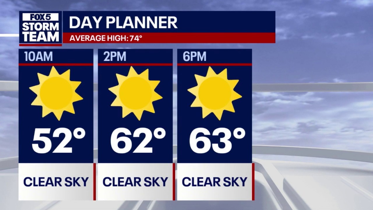 Crisp fall weather & 70s warming trend for North Georgia
FOX 5 Atlanta Lows dipped into the 30s across mountain communities and North Georgia overnight, with Atlanta starting near 50 degrees accompanied by 18 mph northeasterly winds. Daytime highs remain below seasonal…
-
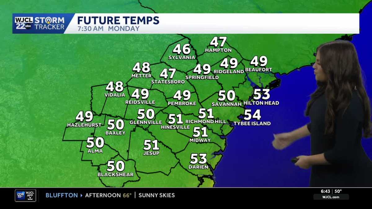 Comfortable and dry week ahead for Southeast Georgia and the Lowcountry
A look at the forecast and the cool morning lows that stick around Some of the coolest air of the season so far for Southeast Georgia and the Lowcountry Sunday morning as temperatures dropped into the 40s and 50s. While…
-
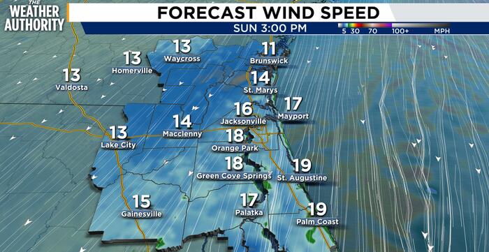 Windy, cool weather and dangerous surf expected Sunday for Northeast Florida, Southeast Georgia
JACKSONVILLE, Fla. – A cool, breezy day is expected across Northeast Florida and Southeast Georgia, with the strongest winds and most significant hazards near the coast. North to northeast winds of 15 to 25 mph could…
-
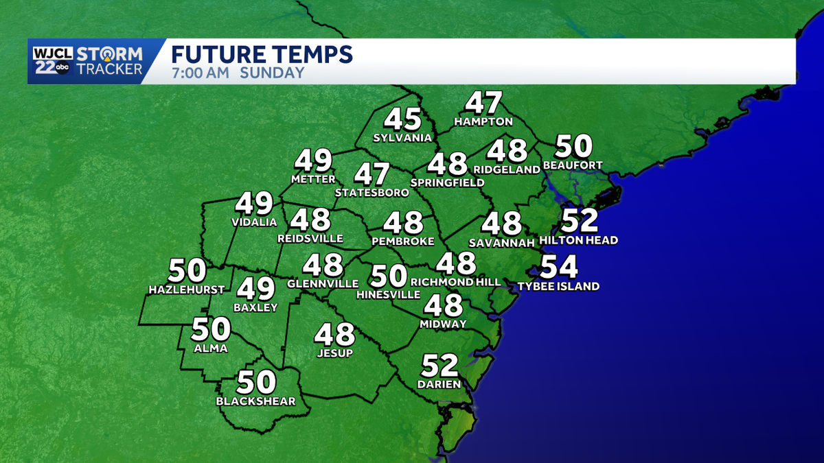 Cool & breezy weather continues for Southeast Georgia & the Lowcountry on Sunday
Fall weather has finally returned across Southwest Georgia & the Lowcountry, let's talk about how long it's going to last! Sunday morning will feature a chilly start with lows in the mid-upper 40s & breezy northeasterly…
-
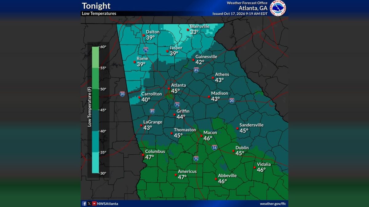 Frost advisory issued for parts of north Georgia Sunday morning
B.T. Clark is the Publisher of The Georgia Sun and author of Principles Are Like Pants… You Ought to Have Some. Over two decades in journalism, he has served as Managing Editor of Neighbor Newspapers in metro Atlanta…
Air quality
Air quality is satisfactory, and air pollution poses little or no risk.
Aiken-Augusta - SC and GA, SC reporting area · 1 hr ago. Data from AirNow (EPA and its state, local and tribal partners); preliminary and subject to change.
Sun & moon
Almanac
MonthlyAugusta Area, records since 1874. Normals 1991–2020. Data from NOAA's Regional Climate Centers (ACIS).
Nearby
- Augusta 16 km
- Martinez 5 km
- Aiken 38 km
- North Augusta 16 km
- Grovetown 11 km
- Thomson 35 km
- Belvedere 17 km
- Waynesboro 51 km
- Edgefield 34 km
- Clearwater 22 km
- Hephzibah 25 km
- Harlem 21 km
Forecasters' discussion
From the National Weather Service office in CAE, issued 9 hrs ago
What Has Changed
Temperatures this morning may start a bit cooler than previously forecast.
Key Messages
- 1. Dry weather continues the remainder of this week with temperatures that warm to near normal by the mid week.
Discussion
Key Message 1: Dry weather continues the remainder of this week with temperatures that warm to near normal by the mid week.
The main note over the coming hours toward daybreak is that nearly ideal radiational cooling conditions have setup with most locations seeing calm conditions or light and variable winds under clear skies. This has allowed temperatures to quickly drop into the low to mid 40s, but these may continue to fall a few degrees lower into the upper 30s to lower 40s by daybreak.
After another chilly morning, more of the same expected the remainder of the week. There is fairly high confidence across deterministic and ensemble guidance in the synoptic evolution over the next 4-6 days. Temperatures gradually warm toward the mid to upper 70s over the coming days with high pressure building back in but, by the weekend, a deep trough is expected to dig in across the western CONUS. This should amplify the downstream features, being the ridge over the central part of the country and troughing across the east. Increased troughing this weekend should yield temperatures perhaps slightly below normal, but there is high confidence in the airmass remaining quite moisture-starved with LREF probabilities for dewpoints reaching above 50F below 20% majority of the forecast period. Greater uncertainty in the current pattern does not enter until early next week, but even then, chances for deeper moisture to advect into the region remains low.
Aviation
VFR conditions likely through the next 24 hours.
Strong high pressure over the region will keep northerly flow in place with clear skies. Light winds early this morning will pick back up around 7 to 10 knots after 15z from the north to northeast. These winds will continue through the afternoon, becoming light and variable around sunset. We cannot totally rule out a few gusts near 16 kts from 15z-19z but they should be intermittent. Fog not expected to be a concern given the very dry air mass in place.
EXTENDED AVIATION OUTLOOK...Significant aviation concerns unlikely through Saturday.
Forecasts, observations and alerts in the United States come from the National Weather Service (NOAA); radar from NOAA's Multi-Radar Multi-Sensor system; satellite imagery from NASA's Global Imagery Browse Services (GIBS) and NOAA's GOES satellites; the map from the U.S. Geological Survey's National Map; air quality from AirNow (EPA and its partners); hurricane information from the National Hurricane Center; climate normals and records from NOAA's Regional Climate Centers (ACIS). Forecasts outside the United States and the UV index: MET Norway (CC BY 4.0); observations outside the U.S.: airport reports via NOAA's Aviation Weather Center. Place names: GeoNames (CC BY 4.0). Data are copied on a schedule and may lag the sources; for warnings that affect your safety, follow your local National Weather Service office and emergency officials. Weather news is drawn from the 4Conservative index and reflects what the press published. Terms of use.