Install
Naranja, FL Weather
Current conditions
Forecast for this hour (no station report in the last two hours)
Forecast
10-day-
Thursday
Sunny, with a high near 85. North wind 8 to 12 mph, with gusts as high as 18 mph.
-
Thursday Night
Mostly clear, with a low around 69. Northeast wind 7 to 10 mph, with gusts as high as 20 mph.
-
Friday
A chance of showers and thunderstorms after 8am. Mostly sunny, with a high near 83. Northeast wind 10 to 16 mph, with gusts as high as 24 mph. Chance of precipitation is 50%.
National Weather Service forecast updated 1 day ago.
Hourly
Hourly forecast- Now83°13%
- 4 PM83°13%
- 5 PM82°13%
- 6 PM80°13%
- 7 PM78°13%
- 8 PM76°11%
- 9 PM75°11%
- 10 PM74°11%
- 11 PM73°11%
- Fri12 AM72°11%
- 1 AM72°11%
- 2 AM71°
- 3 AM71°
- 4 AM70°
- 5 AM70°
- 6 AM70°
- 7 AM69°
- 8 AM70°17%
- 9 AM73°17%
- 10 AM77°17%
- 11 AM80°17%
- 12 PM81°17%
- 1 PM82°17%
- 2 PM81°45%
10-day forecast
Details- TonightOct 20Mostly Clear70°
- WedOct 21Sunny70°85°
- TodayOct 22Sunny13%69°85°
- FriOct 23Chance Showers And Thunderstorms45%70°83°
- SatOct 24Chance Showers And Thunderstorms then Showers And Thunderstorms Likely76%72°83°
- SunOct 25Showers And Thunderstorms78%72°82°
- MonOct 26Showers And Thunderstorms Likely56%72°83°
- TueOct 27Chance Showers And Thunderstorms48%84°
- WedOct 28Light showers0.05 in69°83°
- ThuOct 29Cloudy68°82°
Days after the National Weather Service's seven are MET Norway's outlook, a computer model with no forecaster's review.
Radar
Full mapWeather news near Naranja
More weather news-
 Foreign leaders endorse Miami Republican, sparking interference claims
There’s a relatively rare severe-weather risk on Wednesday in parts of Arizona and Southern California. The National Weather Service Storm Prediction Center has outlined a marginal (Level 1 out of 5) risk in an area…
-
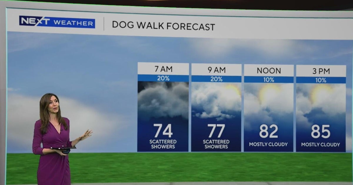 South Florida sees some showers Tuesday, but rain chances rise by end of week
October 20, 2026 / 8:59 AM EDT / CBS Miami Spotty showers were blowing in on the breeze on Tuesday morning in parts of South Florida, with most of the rain rolling in across Miami-Dade. We are also enjoying a taste of…
-
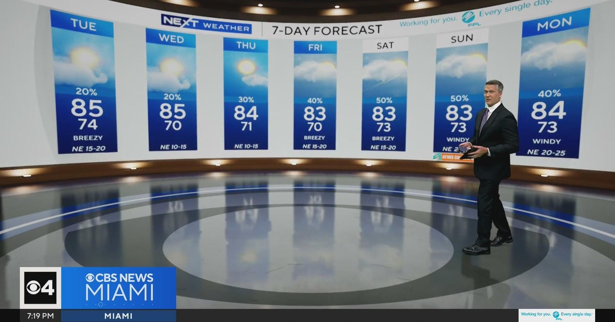 Temperatures lower to the early 80s and late 70s throughout South Florida
CBS News Miami is a local news organization that is part of CBS News and Stations. Also referred to as WFOR-TV and channel 4, CBS News Miami offers local breaking news, weather coverage and investigative reporting…
- Florida has that fall feeling this week. Check how cool it will get and when
Florida people can tell you when fall has arrived. It’s that time of year when the humidity and temperature drop just enough for us to walk the dog without the sauna feel. The time has come. This week, South Florida is…
-
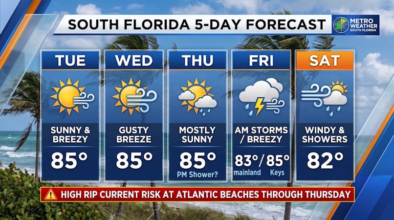 South Florida Forecast: Breezy Sun, Mid-80s Warmth, and Dangerous Atlantic Rip Currents
Donna Thomas has studied hurricanes for two decades. She holds a PhD in history when her experience with Hurricane Andrew ultimately led her to earn a degree in broadcast meteorology from Mississippi State University…
-
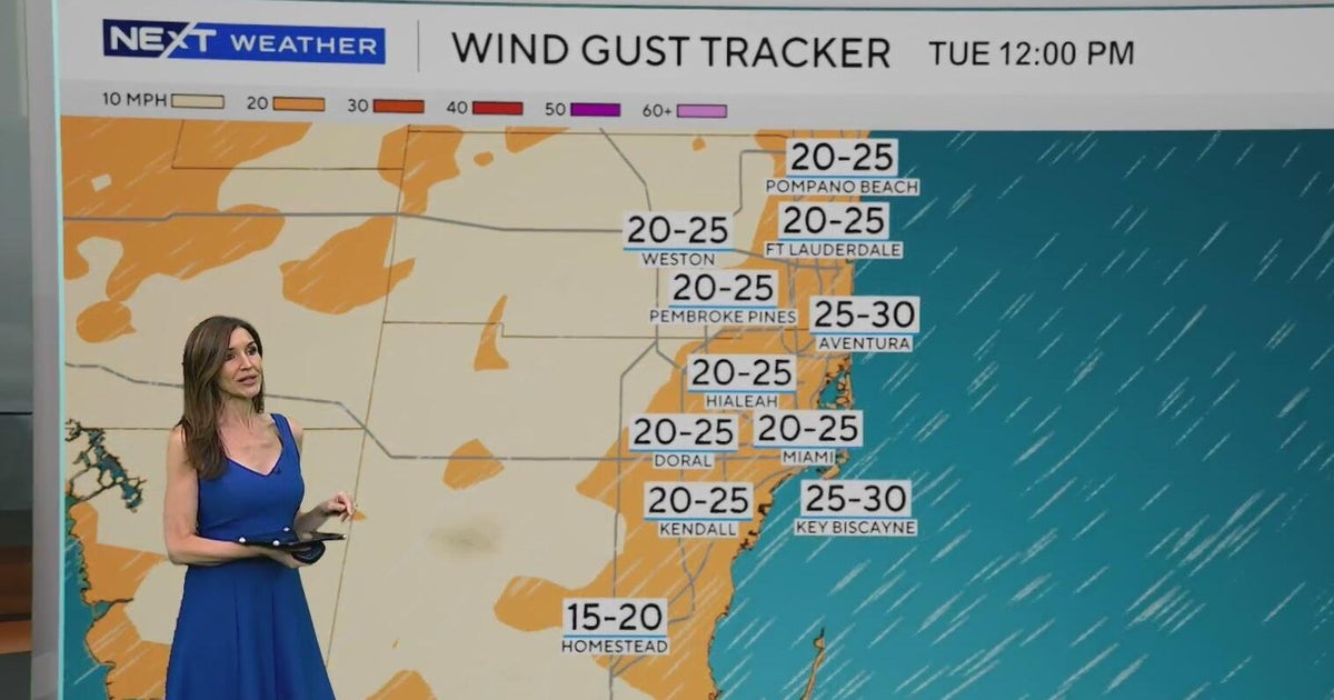 Windy, drier week ahead of taste of fall South Florida style
October 19, 2026 / 11:06 AM EDT / CBS Miami It's expected to be a windy but dry week across South Florida ahead of an enjoyable taste of fall with some pleasant mornings starting on Tuesday. As a frontal boundary stalls…
-
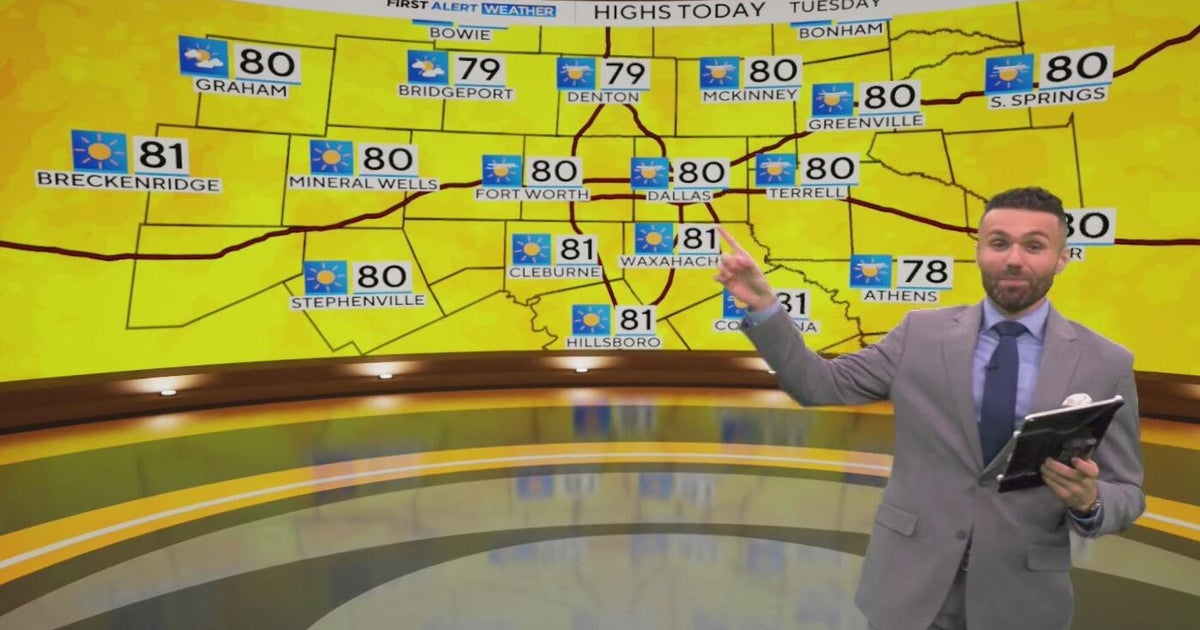 Great weather in North Texas this week
CBS News Baltimore 8am CBS News Boston 8am CBS News Chicago 7am CBS News Colorado This Morning 6am CBS News Los Angeles Mornings 5am CBS News Miami 8am CBS News New York 8am CBS News Texas 7am
-
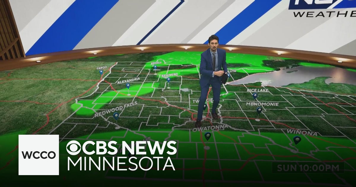 More sunny, mild late October weather in Minnesota | Oct. 20, 2026
CBS News Baltimore 8am CBS News Boston 8am CBS News Chicago 7am CBS News Colorado This Morning 6am CBS News Los Angeles Mornings 5am CBS News Miami 8am CBS News New York 8am CBS News Texas 7am
-
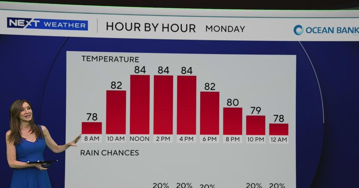 South Florida to see lower rain chances, cooler temperatures this week
CBS News Baltimore 8am CBS News Boston 8am CBS News Chicago 7am CBS News Colorado This Morning 6am CBS News Los Angeles Mornings 5am CBS News Miami 8am CBS News New York 8am CBS News Texas 7am
-
 Chilly Morning, Pleasant Afternoon!
WFXG : Special Weather Statement until TUE 7:00 PM EDT Headline: Special Weather Statement until TUE 7:00 PM EDT Type: Special Weather Statement - Taxpayer Philanthropy: Nonprofit pays Michelle Obama aide $700k - Poll…
Air quality
Air quality is satisfactory, and air pollution poses little or no risk.
Forecast
- ThuGood (40)
- FriGood (40)
Miami, FL reporting area · 1 hr ago. Data from AirNow (EPA and its state, local and tribal partners); preliminary and subject to change.
Sun & moon
Almanac
MonthlyMiami Area, records since 1895. Normals 1991–2020. Data from NOAA's Regional Climate Centers (ACIS).
Nearby
- Miami 37 km
- Hialeah 40 km
- Pembroke Pines 57 km
- Miramar 56 km
- Miami Gardens 50 km
- Miami Beach 42 km
- Homestead 8 km
- Kendall 21 km
- Doral 34 km
- Carol City 50 km
- North Miami 48 km
- Fountainebleau 29 km
Forecasters' discussion
From the National Weather Service office in MFL, issued 1 hr ago
Key Messages
Updated at 142 PM EDT Thu Oct 22 2026
- Hazardous marine conditions continue through the end of the work week for the Atlantic waters. Hazardous winds and seas for all local waters return this weekend.
- High risk of rip currents continues for the Atlantic beaches, and will likely last at least into early next week. In addition, high surf conditions continue for the Palm Beaches.
- Moderate coastal flooding is expected to continue around high tide along the east coast. A low, 10-30% chance of major coastal flooding is possible beginning during the second half of the upcoming weekend.
- Heavy rain, isolated flash flooding, and windy conditions are forecast for this weekend into early next week.
Update
Issued at 730 AM EDT Thu Oct 22 2026
Low-level trough just north of the Bahamas, embedded in the general N-NE wind flow, is skirting the Florida east coast this morning and helping to trigger scattered showers along and offshore the Palm Beach County coast. Hi-res/short range models are handling this scenario fairly well, and depict a southward spread of the showers mainly over the nearshore Atlantic waters but skirting the east coast metro from time to time through much of the day. Current forecast PoPs are handling this well so no changes needed to the forecast at this time except to increase cloud cover southward along the east coast this morning.
NOS tide gauges are peaking in the minor flood stage at the current high tide, except bordering on moderate at Lake Worth Pier. These levels continue slightly above guidance, so current expectation of moderate flood levels with upcoming high tides over the next several days is on track.
Short Term
(Today through Friday) Issued at 106 AM EDT Thu Oct 22 2026
Latest surface analysis shows high pressure over the TN Valley, and Subtropical Storm Josephine off the New England coast. At the upper levels, the ridge over the center of the country continues to nose eastward and a trough is slowly deepening over the eastern third of the country. Latest 00Z sounding shows plenty of dry air at the mid and upper levels, with some low level moisture to support widely scattered coastal showers today. Winds will continue to be out of the NNE and gusting to around 20-25 mph this afternoon. High temps will be in the low to middle 80s. Scattered coastal showers will continue overnight with mainly dry conditions over the interior and SW FL. Overnight lows will be comfortable ranging from the low to mid 60s around the lake region, the lower 70s closer to the coast.
As the trough continues to deepen on Friday and an upper low starts to develop off the SE US coast late in the day, low level moisture will start to increase with PWAT values nosing up to around 1.5 inches. Forecast soundings still show plenty of dry air aloft, but the shower activity should be more increased across the east coast metro compared to the past several days. Could even see some isolated thunderstorms near the coast. NE winds will be pick up a bit on Friday, with wind gusts of 20-30 mph possible, especially along the coast. Afternoon high temps will again be in the low to middle 80s.
Long Term
(Friday night through Wednesday) Issued at 106 AM EDT Thu Oct 22 2026
As we head into the weekend and into early next week, a multi hazard event will be taking shape as an upper level low lingers in the region and strong surface high pressure builds into the eastern US. Enhanced moisture around the upper low will bring rounds of showers, heavy at times, to SE FL from Saturday through Monday. While mean QPF values have trended downward the past several days, 1-3 inches is still expected across the east coast metro, with localized higher end amounts of 4-6 inches possible. This rain combined with the higher king tides this weekend may present some flooding issues. WPC has a Slight risk of excessive rain across the metro both days this weekend. The other main story will be the gusty winds this weekend as the pressure gradient tightens. NE winds will gust 25-35 mph on Saturday and 30-40 mph on Sunday.
Conditions begin to improve Tuesday into mid week as the upper low pulls away from the region to the northeast and with it the deeper moisture will exit the area. There will still be scattered coastal showers around both days, but the rainfall flooding threat will decrease.
Fairly comfortable temperatures are expected this weekend into next week with high temps generally in the low to middle 80s, and low temps each day in the 60s/70s.
Forecasts, observations and alerts in the United States come from the National Weather Service (NOAA); radar from NOAA's Multi-Radar Multi-Sensor system; satellite imagery from NASA's Global Imagery Browse Services (GIBS) and NOAA's GOES satellites; the map from the U.S. Geological Survey's National Map; air quality from AirNow (EPA and its partners); hurricane information from the National Hurricane Center; climate normals and records from NOAA's Regional Climate Centers (ACIS). Forecasts outside the United States and the UV index: MET Norway (CC BY 4.0); observations outside the U.S.: airport reports via NOAA's Aviation Weather Center. Place names: GeoNames (CC BY 4.0). Data are copied on a schedule and may lag the sources; for warnings that affect your safety, follow your local National Weather Service office and emergency officials. Weather news is drawn from the 4Conservative index and reflects what the press published. Terms of use.