Install
Stafford Springs, CT Weather
Current conditions
Observed at Willimantic, Windham Airport · 37 min ago
Forecast
10-day-
Monday
Sunny, with a high near 66. West wind 3 to 7 mph.
-
Monday Night
Partly cloudy, with a low around 44. West wind around 6 mph.
National Weather Service forecast updated 6 days ago.
Hourly
Hourly forecast- Now64°
- 6 PM62°
- 7 PM58°
10-day forecast
Details- TueOct 20Sunny40°63°
- WedOct 21Mostly Sunny39°55°
- ThuOct 22Mostly Sunny37°61°
- FriOct 23Sunny33°51°
- SatOct 24Sunny35°56°
- SunOct 25Sunny40°62°
- TodayOct 26Sunny44°66°
- TueOct 27Mostly sunny33°55°
- WedOct 28Cloudy31°48°
- ThuOct 29Cloudy44°57°
Days after the National Weather Service's seven are MET Norway's outlook, a computer model with no forecaster's review.
Radar
Full mapWeather news in Connecticut
More weather news-
 No big snow in sight for Connecticut right away. But history shows how fast that can change
As October winds down, Connecticut's first snowfall feels a little closer, and history reminds us that winter sometimes arrives before the last leaves fall. Few storms drove that point home more painfully than the one…
-
 A sunny, warmer Monday in Connecticut. Here's how high the temps could rise.
A scarecrow is displayed on a lawn on Sport Hill Road in Easton on October 7, 2026. Temperatures could top out near 70 Monday, as a short warmup that began Sunday peaks in Connecticut, according to the National Weather…
-
 Connecticut’s Halloween forecast is taking shape. Here’s what to expect
From trick-or-treating to fall festivals, there are kid-friendly Halloween events in each of Connecticut's counties to enjoy. The National Weather Service has put out a forecast for the morning and afternoon of…
-
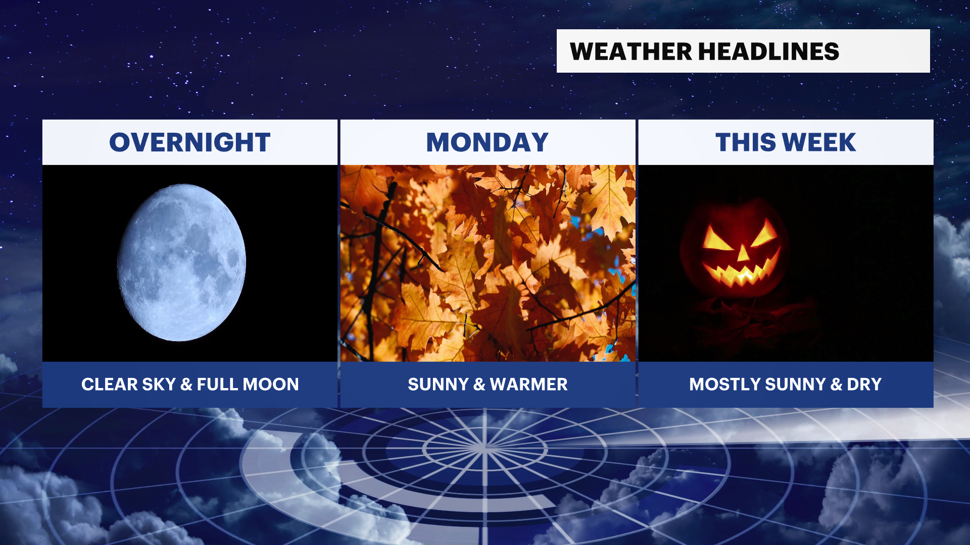 Warmer temperatures ahead for Monday with plenty of sunshine after a chilly start in Connecticut
Forecast: Temperatures will fall into the 30s and 40s for Monday morning with light winds. It won't be quite as cold as what Sunday morning was like. The sky will stay clear and t ... Warmer temperatures ahead for…
-
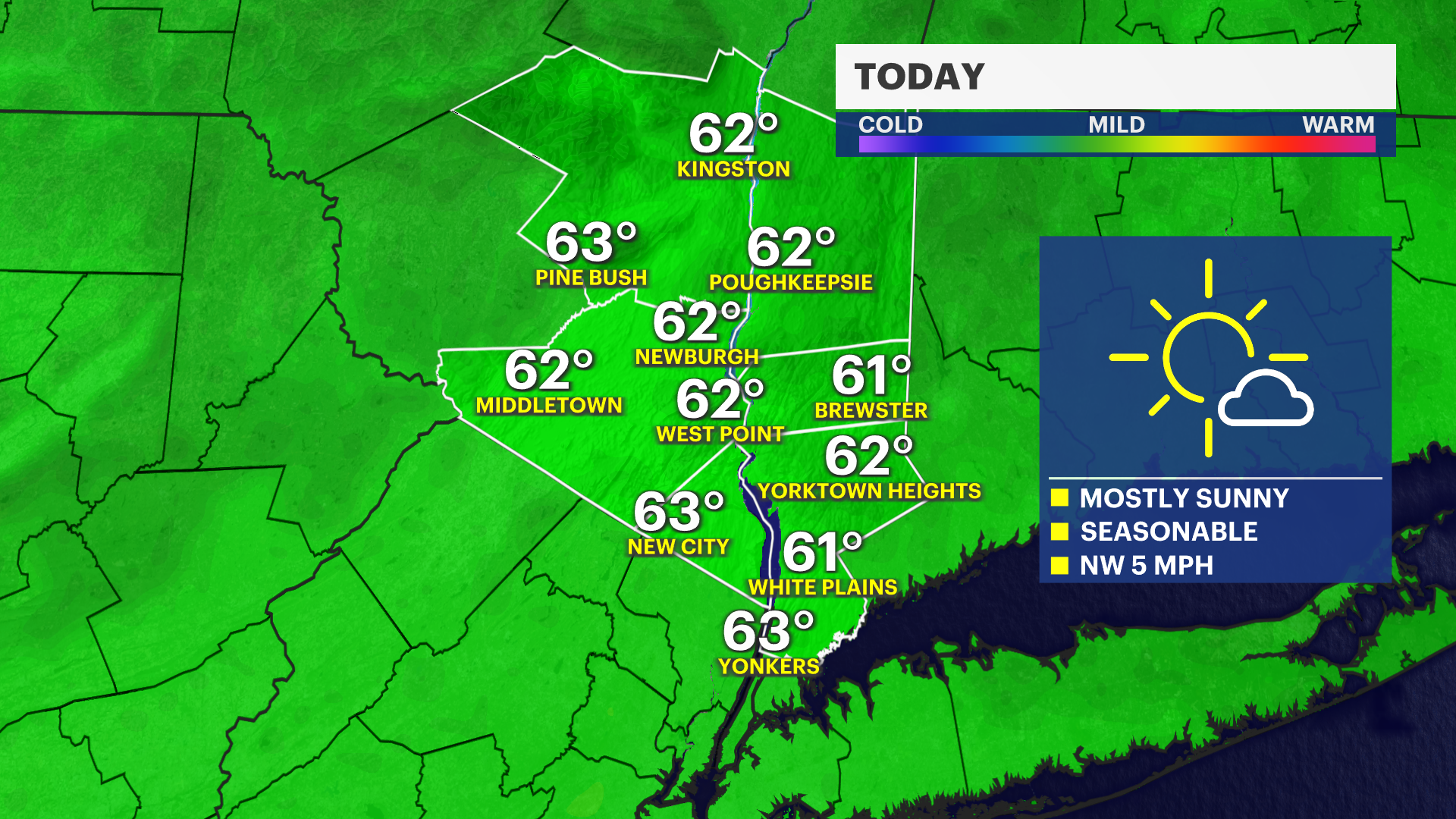 Sunny and seasonable Sunday across Connecticut
Oct 24, 2026, 9:36 PM Connecticut will see another dry and fall-like Saturday night. Southern Fairfield and New Haven Counties could encounter patchy frost overnight. Be mindful of sensitive plants and pets outdoors…
-
 Vance intensifies rapidly and could become a major Category 3 hurricane
Vance had maximum sustained winds of 105 mph (170 kph) as it churned about 425 miles (685 kilometers) south-southwest of Acapulco, according to an advisory from the Miami-based hurricane center. It could become a major…
-
 Josephine, now a strong post-tropical cyclone, churns rough seas from Florida coast to Northeast
Subtropical Storm Josephine transitioned into an extratropical low Thursday afternoon, although it remained a powerful system generating dangerous swells and coastal flooding. Josephine will continue to bring high…
-
 Cold Halloween night expected in Connecticut. See full holiday forecast
AccuWeather just released its Halloween weekend forecast, predicting "a spooky mix of chilly temperatures, gusty winds, rain and even mountain snow" across the country. While the weather service predicts New England…
-
 A sunny, breezy Thursday in Connecticut before temps drop overnight. Here's the latest.
Autumn colors surround Bantam Lake in Morris Oct. 15, 2026. Thursday will bring another day of sunny, breezy weather to Connecticut before chilly temperatures arrive overnight, according to the National Weather Service…
-
 Hail the size of golf balls pummels parts of Arizona as rare storm moves through the West
PHOENIX — Hail the size of golf balls and damaging wind gusts pounded northern and central Arizona in a rare storm blowing through, bringing with it tornado risks and possible flash floods. The National Weather Service…
Air quality
Air quality is satisfactory, and air pollution poses little or no risk.
Forecast
- MonModerate (54)
- TueGood (39)
Stafford, CT reporting area · 1 hr ago. Data from AirNow (EPA and its state, local and tribal partners); preliminary and subject to change.
Sun & moon
Almanac
MonthlyHartford Area, records since 1905. Normals 1991–2020. Data from NOAA's Regional Climate Centers (ACIS).
Nearby
- Worcester 54 km
- Springfield 29 km
- Hartford 38 km
- New Britain 51 km
- West Hartford 42 km
- Chicopee 33 km
- North Chicopee 35 km
- East Hartford 32 km
- Middletown 52 km
- Enfield 24 km
- Westfield 42 km
- Holyoke 38 km
Forecasters' discussion
From the National Weather Service office in BOX, issued 2 hrs ago
What Has Changed
No meaningful changes to the forecast, with an extended stretch of quiet and dry weather ahead.
Key Messages
- Prolonged stretch of dry weather through the first half of the upcoming weekend. Seasonably cool temperatures Tuesday through midweek followed by period of warmer temperatures later in the work week.
Discussion
KEY MESSAGE 1...Prolonged stretch of dry weather through the first half of the upcoming weekend. Seasonably cool temperatures Tuesday through midweek followed by period of warmer temperatures later in the work week.
A cold front pushes southward into southern New England tonight. This front will be fairly moisture-starved limiting it's impacts to a period of breezy northerly winds overnight accompanied by advection of a cooler airmass.
Upper ridging and surface high pressure will dominate through the upcoming weekend favoring dry weather. Southern New England will be in a cooler post-frontal airmass Tuesday with 925mb temperatures ranging +1C to +4C. This will support high temperatures in the mid to upper 50s. Locations along the Cape/Islands and even portions of the east coast may be limited to the low 50s given the N/NNE onshore wind component. The cool airmass in place combined with light winds and clear skies will favor efficient radiational cooling Tuesday night into Wednesday. Temperatures are likely to fall into the upper 20s and 30s. The higher terrain, valleys, and other radiator spots have potential to see mid 20s with even a some spots in the low 20s!
Similar conditions prevail Wednesday. Temperatures trend slightly warmer as a mid level ridge shifts further east into the region accompanied by warmer temperatures aloft. The warming trend in temperatures continues into late-week resulting in 925mb temperatures warming to +10 to +13C. This will yield high temperatures in the mid-60s on Thursday which is seasonably warm for this time of year. Despite the mid-level pattern becoming more zonal Friday (ahead of our next weak wave), the westerly flow will support efficient mixing in the boundary. This will result in a breezy, but likely the warmest day of the week with high temperatures in the upper 60s and even low 70s in portions of southern New England. NBM highlights moderate to high probabilities(60%-80%+) for 70F or greater across the valleys, CT, and I-95 corridor. Therefore a larger portion of southern New England, with the exception of the higher elevations and Cape/Islands, will have a good shot at hitting the 70 degree mark on Friday.
Another moisture-starved shortwave and cold front moves overnight Friday. This will bring back temperatures into the low 60s for the weekend which is seasonable for late-October. Looking further ahead to the latter half of the weekend and next week, ensemble guidance shows agreement with a transition to a generally unsettled pattern which may feature periodic chances for showers. Confidence decreases with respect to the details such as timing.
Aviation
Forecaster Confidence Levels...
Low - less than 30 percent. Moderate - 30 to 60 percent. High - greater than 60 percent.
18Z TAF Update:
Today and Tonight...High confidence.
VFR conditions. W to WNW winds this afternoon at 6-12 kts. Occasional gusts of 18-20 kts possible for Cape/Islands. A cold front pushes through the region between 00-04Z. No rain expected; however, this will bring a windshift to the NW/NNW with gusts 18-25 kts. Highest gusts for Cape and Islands. SCT to BKN cloud decks accompany the front, but likely to be mid-level (050-100).
Tuesday...High confidence.
Forecasts, observations and alerts in the United States come from the National Weather Service (NOAA); radar from NOAA's Multi-Radar Multi-Sensor system; satellite imagery from NASA's Global Imagery Browse Services (GIBS) and NOAA's GOES satellites; the map from the U.S. Geological Survey's National Map; air quality from AirNow (EPA and its partners); hurricane information from the National Hurricane Center; climate normals and records from NOAA's Regional Climate Centers (ACIS). Forecasts outside the United States and the UV index: MET Norway (CC BY 4.0); observations outside the U.S.: airport reports via NOAA's Aviation Weather Center. Place names: GeoNames (CC BY 4.0). Data are copied on a schedule and may lag the sources; for warnings that affect your safety, follow your local National Weather Service office and emergency officials. Weather news is drawn from the 4Conservative index and reflects what the press published. Terms of use. How to use Weather