Install
East Haddam, CT Weather
Current conditions
Forecast for this hour (no station report in the last two hours)
Forecast
10-day-
Sunday Night
Clear, with a low around 36.
-
Monday
Sunny, with a high near 67.
-
Monday Night
Mostly clear, with a low around 43.
National Weather Service forecast updated 3 days ago.
Hourly
Hourly forecast- Now44°
- 11 PM42°
- Mon12 AM41°
- 1 AM40°
- 2 AM40°
- 3 AM39°
- 4 AM39°
- 5 AM38°
- 6 AM37°
- 7 AM36°
- 8 AM38°
- 9 AM44°
- 10 AM51°
- 11 AM58°
- 12 PM62°
- 1 PM65°
- 2 PM66°
- 3 PM67°
- 4 PM67°
- 5 PM66°
- 6 PM63°
- 7 PM58°
- 8 PM54°
- 9 PM51°
10-day forecast
Details- TonightOct 21Cloudy42°
- ThuOct 22Mostly Sunny36°64°
- FriOct 23Sunny32°57°
- SatOct 24Sunny32°59°
- TodayOct 25Sunny36°64°
- MonOct 26Sunny43°67°
- TueOct 27Sunny40°64°
- WedOct 28Mostly Sunny61°
- ThuOct 29Sunny44°62°
- FriOct 30Sunny42°62°
Days after the National Weather Service's seven are MET Norway's outlook, a computer model with no forecaster's review.
Radar
Full mapWeather news in Connecticut
More weather news-
 Connecticut's Halloween forecast is taking shape. Here's what to expect
The National Weather Service has put out a forecast for the morning and afternoon of Halloween, with the holiday a little less than a week away. As of Sunday, the NWS shows the forecast for Oct. 31 in Connecticut as…
-
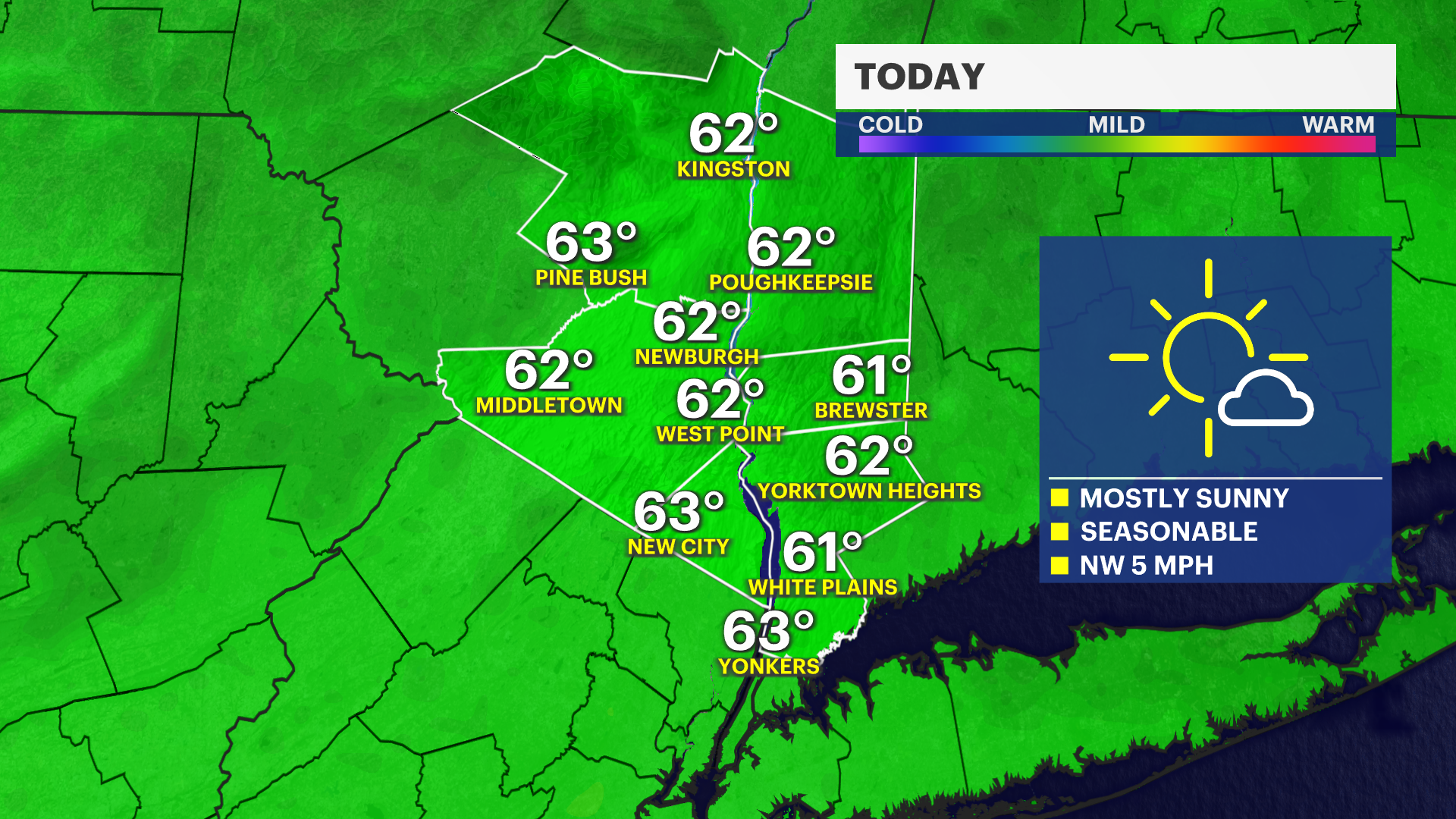 Sunny and seasonable Sunday across Connecticut
Oct 24, 2026, 9:36 PM Connecticut will see another dry and fall-like Saturday night. Southern Fairfield and New Haven Counties could encounter patchy frost overnight. Be mindful of sensitive plants and pets outdoors…
-
 Cold Halloween night expected in Connecticut. See full holiday forecast
AccuWeather just released its Halloween weekend forecast, predicting "a spooky mix of chilly temperatures, gusty winds, rain and even mountain snow" across the country. While the weather service predicts New England…
-
 A sunny, breezy Thursday in Connecticut before temps drop overnight. Here's the latest.
Autumn colors surround Bantam Lake in Morris Oct. 15, 2026. Thursday will bring another day of sunny, breezy weather to Connecticut before chilly temperatures arrive overnight, according to the National Weather Service…
-
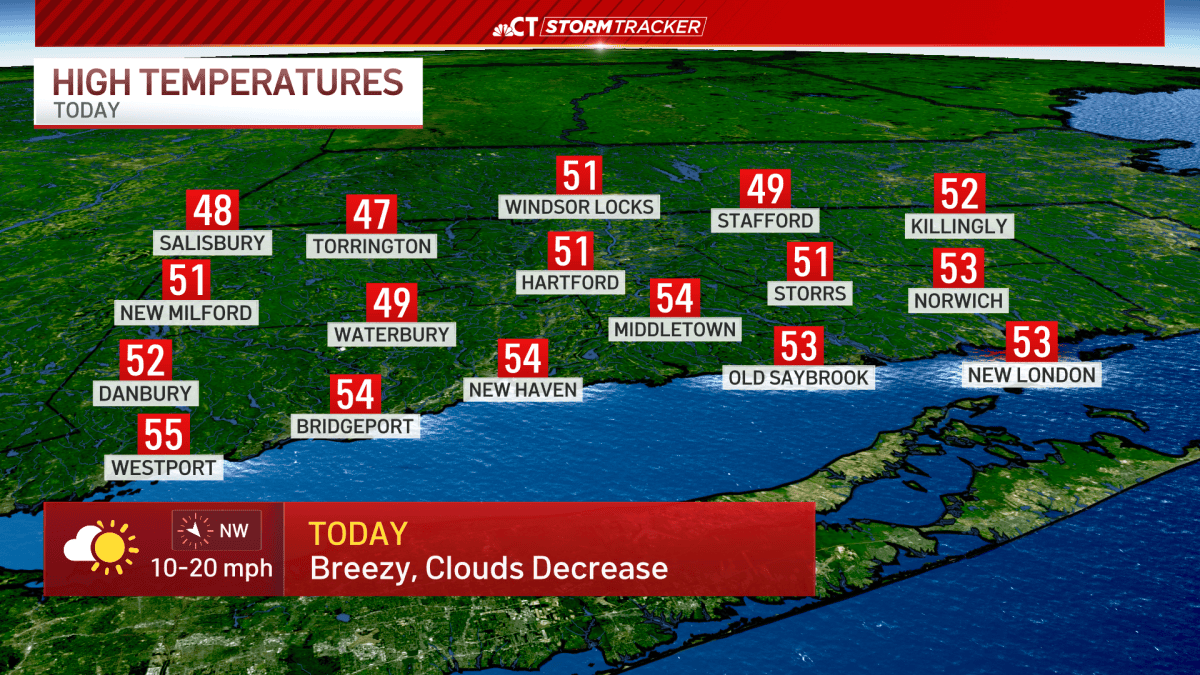 Freeze Warning Issued as Temperatures Drop Near Freezing in Connecticut
At SSBCrack News, our dedicated editorial team brings you the latest and most reliable updates on Defence, Geopolitics, Military Affairs, Science, and Technology. Driven by a passion for national security and strategic…
-
 Will Connecticut’s Halloween be warmer or colder than normal? Here’s the early outlook
Costumed children and their parents pack Main Street as they trick or treat at downtown businesses during the annual Halloween Parade in Westport, Conn. on Tuesday, October 29, 2024. The weather will trend close to…
-
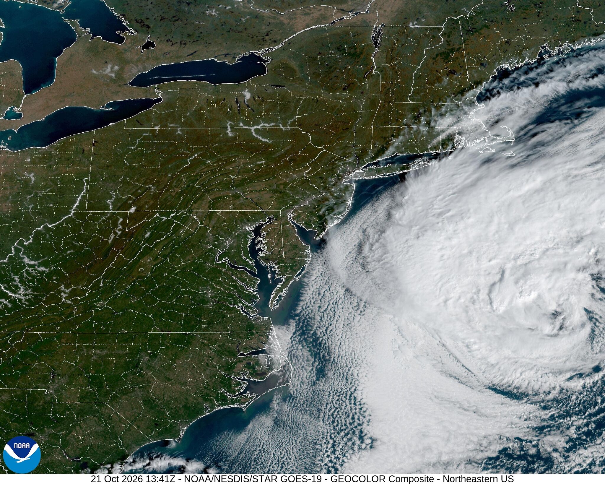 Here's the latest on the nor'easter brewing offshore this week, and what it means for Connecticut
Satellite imagery shows a nor'easter off the eastern coast of the United States Wednesday, Oct. 21, 2026. A nor'easter continues to churn off the East Coast this week, threatening to bring coastal flooding to parts of…
-
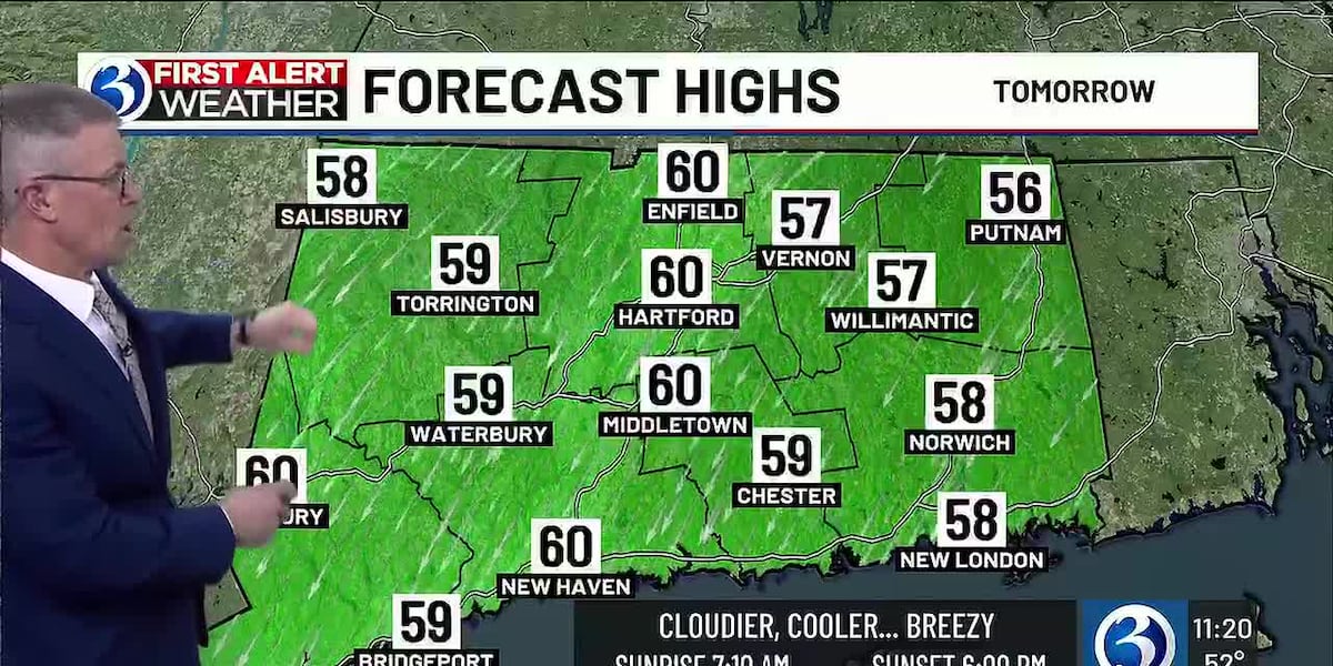 Temperatures to Drop as Cold Front Approaches Connecticut
Home » Trending » Temperatures to Drop as Cold Front Approaches Connecticut This morning, temperatures across Connecticut are showing an uptick compared to yesterday, rising between 2 to 10 degrees. The early hours see…
-
 Connecticut stays dry Wednesday as nor’easter passes offshore. Here's what to expect.
Temperatures turn slightly cooler for Connecticut Wednesday, while a nor'easter meandering off the East Coast may bring gusty winds. Highs will top out in the upper 50s and lower 60s Wednesday — down from the upper 60s…
-
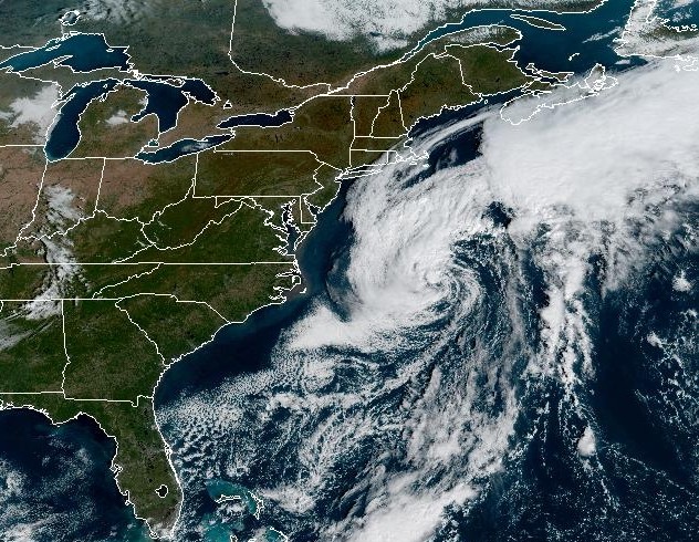 Nor’easter will stay offshore, but Connecticut faces gusty winds Wednesday
A nor'easter swirling off the East Coast will stay offshore as it moves north this week, bringing some strong winds to Connecticut. A nor'easter is hanging out off the East Coast of the U.S. this week, and while it's…
Air quality
Forecast
- SunModerate (52)
- MonModerate (60)
Middletown, CT reporting area. Data from AirNow (EPA and its state, local and tribal partners); preliminary and subject to change.
Sun & moon
Almanac
MonthlyHartford Brainard Field, records since 1904. Normals 1991–2020. Data from NOAA's Regional Climate Centers (ACIS).
Nearby
- New Haven 42 km
- Hartford 39 km
- Waterbury 51 km
- New Britain 35 km
- West Hartford 42 km
- Bristol 47 km
- Meriden 30 km
- Hamden 37 km
- West Haven 45 km
- Milford 56 km
- City of Milford (balance) 56 km
- East Hartford 39 km
Forecasters' discussion
From the National Weather Service office in OKX, issued 8 hrs ago
What Has Changed
No significant changes.
Key Messages
1) Mainly dry conditions expected into early next week with gusty N-NE winds continuing through Friday.
Key Message 1
An anomalously strong upper ridge will translate east into Monday. At the same time, a strong upper low tracking across central and eastern Canada will suppress the upper ridge to the south. Upper ridging will then reestablish itself over the southeastern portion of the country, with the region lying between the ridge to the south and mainly zonal flow to our north. Other than a dry cold front passage Monday night, high pressure will dominate the weather pattern through the week.
Another clear and cool night is expected tonight, but temperatures should be slightly higher than recent nights. Some outlying locations across the interior could still fall into low to mid 30s and the Long Island Island Pine Barrens could see some patchy frost, but currently not expecting it to be widespread across eastern Suffolk.
Warmer temperatures are anticipated on Monday with highs reaching the upper 60s for most spots and around 70 in the NYC metro and NE NJ. Milder conditions Monday night will trend slightly below normal for Tuesday with highs in the upper 50s to around 60 degrees. A light N-NW flow may continue Tuesday night, so temperatures may only fall into the upper 30s for areas where the growing season has not ended on Long Island and coastal CT. Frost could be a concern if winds end up going calm allowing temperatures to fall lower. A gradual warming trend is then forecast through the rest of the week with highs Thursday and Friday above normal in the upper 60s and lower 70s. Some of the warmer spots on Friday could reach the mid to upper 70s in NE NJ.
Outlook For 18z Monday Through Friday
Monday Afternoon-Friday: VFR.
Detailed information, including hourly TAF wind component forecasts, can be found at: https:/www.weather.gov/zny/n90
Forecasts, observations and alerts in the United States come from the National Weather Service (NOAA); radar from NOAA's Multi-Radar Multi-Sensor system; satellite imagery from NASA's Global Imagery Browse Services (GIBS) and NOAA's GOES satellites; the map from the U.S. Geological Survey's National Map; air quality from AirNow (EPA and its partners); hurricane information from the National Hurricane Center; climate normals and records from NOAA's Regional Climate Centers (ACIS). Forecasts outside the United States and the UV index: MET Norway (CC BY 4.0); observations outside the U.S.: airport reports via NOAA's Aviation Weather Center. Place names: GeoNames (CC BY 4.0). Data are copied on a schedule and may lag the sources; for warnings that affect your safety, follow your local National Weather Service office and emergency officials. Weather news is drawn from the 4Conservative index and reflects what the press published. Terms of use. How to use Weather