Install
Ponderosa Park, CO Weather
Current conditions
Forecast for this hour (no station report in the last two hours)
Forecast
10-day-
Monday
Mostly sunny, with a high near 62.
-
Monday Night
Partly cloudy, with a low around 38.
National Weather Service forecast updated 6 days ago.
Hourly
Hourly forecast- Now46°
- 10 AM50°
- 11 AM55°
- 12 PM59°
- 1 PM61°
- 2 PM61°
- 3 PM61°
- 4 PM60°
- 5 PM58°
10-day forecast
Details- TueOct 20Mostly Sunny46°67°
- WedOct 21Sunny52°71°
- ThuOct 22Mostly Cloudy then Slight Chance Rain Showers17%52°70°
- FriOct 23Mostly Sunny41°68°
- SatOct 24Chance Rain Showers38%35°52°
- SunOct 25Mostly Sunny12%37°58°
- TodayOct 26Mostly Sunny38°62°
- TueOct 27Cloudy32°48°
- WedOct 28Sunny31°51°
- ThuOct 29Cloudy32°50°
Days after the National Weather Service's seven are MET Norway's outlook, a computer model with no forecaster's review.
Radar
Full mapWeather news near Ponderosa Park
More weather news-
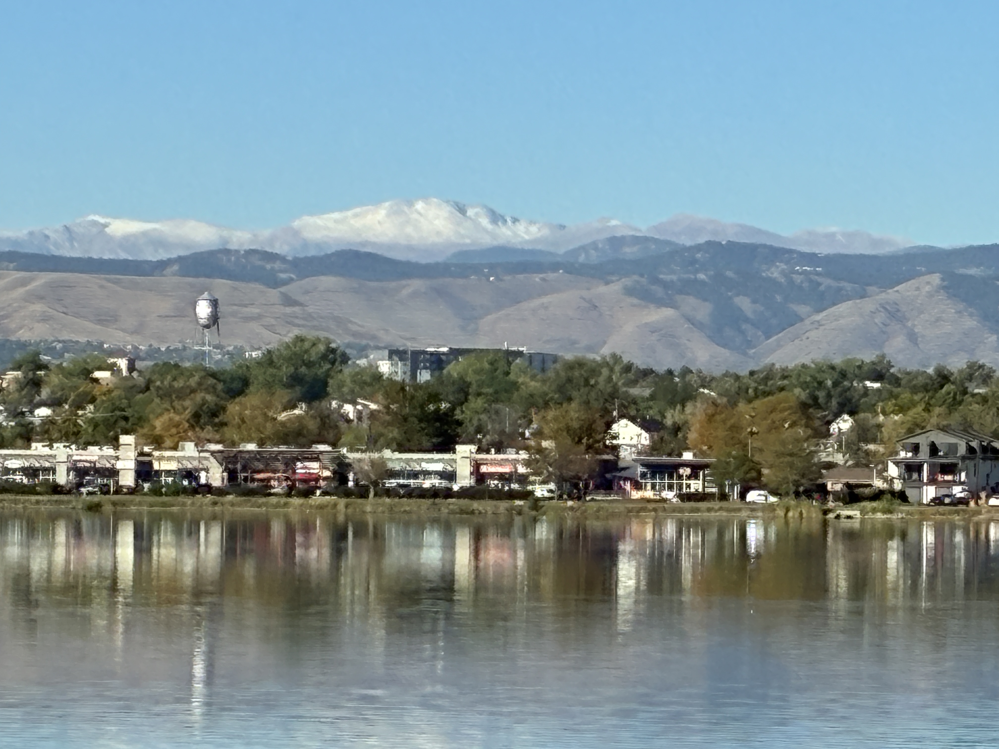 Denver still waiting on first snow as average date (October 19th) nears — Simon Roebuck (WeatherTotals.com) #snowpack
From email from Simon Roebuck: Denver has not recorded any snowfall for the 2026-27 season as of October 17, 2026. The average first measurable snow date, October 19, comes from National Weather Service Boulder records…
-
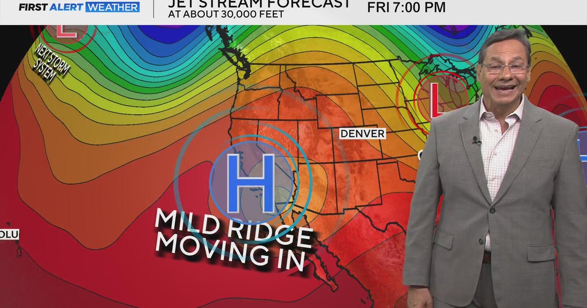 Mild mannered stretch kicks off this weekend
CBS News Mild mannered stretch kicks off this weekend CBS Colorado's Dave Aguilera shares love of meteorology with elementary school students Off-duty Colorado deputy, bystanders rescue driver from burning vehicle…
-
 Colorado's Lutheran High School athletic department on probation following racist behavior
CBS News Colorado's Lutheran High School athletic department on probation following racist behavior Meet "Barrel Baby" the newest Denver Broncos fan inducted into the Orange Zone RTD provides affordable options to get…
-
 First Alert Weather Tracker follows the snow falling in the mountains
CBS News First Alert Weather Tracker follows the snow falling in the mountains RTD provides affordable options to get to the Denver Broncos game against Seattle Seahawks O is for Orangutan in A to Z with Alex Lehnert…
-
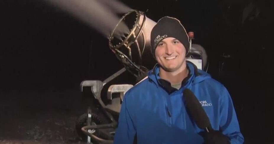 First Alert Weather Tracker heads to A-Basin Ski Area where snow guns are creating snow
CBS News First Alert Weather Tracker heads to A-Basin Ski Area where snow guns are creating snow RTD provides affordable options to get to the Denver Broncos game against Seattle Seahawks First Alert Weather Tracker…
-
 RTD provides affordable options to get to the Denver Broncos game against Seattle Seahawks
CBS News RTD provides affordable options to get to the Denver Broncos game against Seattle Seahawks First Alert Weather Tracker follows the snow falling in the mountains O is for Orangutan in A to Z with Alex Lehnert…
-
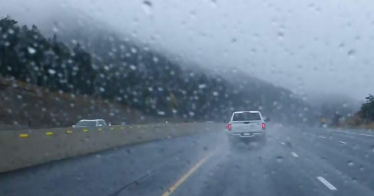 Aurora Water managers welcome rain, but more importantly snow in the mountains
CBS News Aurora Water managers welcome rain, but more importantly snow in the mountains Film fans can get tickets to Sundance in Boulder starting tomorrow Proposition 134 & 135 address rights of transgender teens in…
-
 Denver braces for potentially freezing temperatures
CBS News Denver braces for potentially freezing temperatures Film fans can get tickets to Sundance in Boulder starting tomorrow Proposition 134 & 135 address rights of transgender teens in Colorado More rain and snow…
-
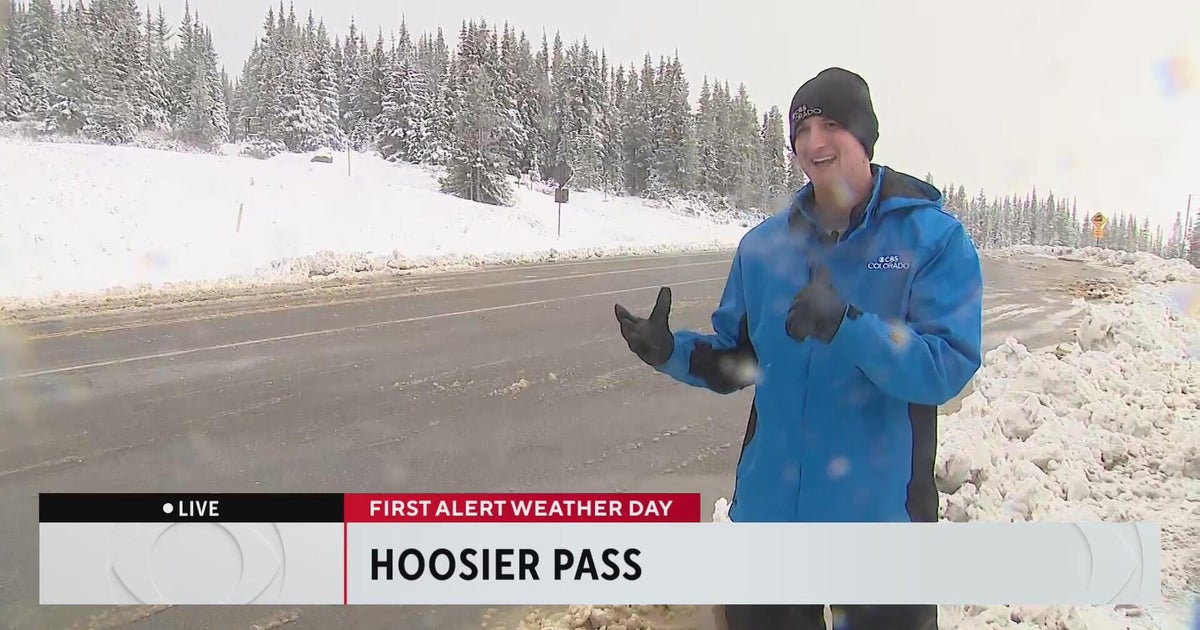 Wintery weather comes to the Colorado High Country
CBS News Wintery weather comes to the Colorado High Country Aurora Water managers welcome rain, but more importantly snow in the mountains 20th anniversary production of "Jersey Boys" headed to Denver Colorado nonprofit…
-
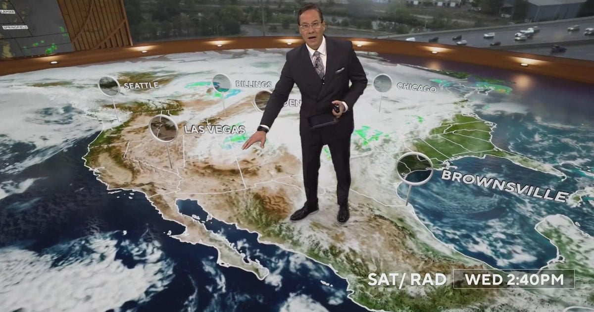 More rain and snow into Thursday morning with Denver's first freeze on the way
CBS News More rain and snow into Thursday morning with Denver's first freeze on the way Proposition 134 & 135 address rights of transgender teens in Colorado Republican Ken Buck endorses Democrat Phil Weiser for…
Air quality
Air quality is satisfactory, and air pollution poses little or no risk.
Forecast
- MonGood
- TueGood
Colorado Springs, CO reporting area · 1 hr ago. Data from AirNow (EPA and its state, local and tribal partners); preliminary and subject to change.
Sun & moon
Almanac
MonthlyElizabeth 2nw, records since 1996. Normals 1991–2020. Data from NOAA's Regional Climate Centers (ACIS).
Nearby
- Denver 47 km
- Aurora 39 km
- Lakewood 49 km
- Thornton 58 km
- Westminster 58 km
- Arvada 58 km
- Centennial 27 km
- Highlands Ranch 32 km
- Castle Rock 18 km
- Commerce City 51 km
- Parker 15 km
- Littleton 39 km
Forecasters' discussion
From the National Weather Service office in BOU, issued 3 hrs ago
Key Messages
- Rain ending from southwest to northeast this morning, with clearing skies this afternoon.
- Snow wrapping up across the mountains, but some minor travel impacts may linger through sunrise.
- Warming trend and mostly dry much of upcoming week.
- Unsettled weather potentially returning next weekend, but odds favor western and southern Colorado once again.
Update
Issued at 235 AM MDT Mon Oct 26 2026
A couple of quick updates this morning. First, it's pretty clear this wave is going to give many in the Denver metro more rain than originally promised. Despite an absence of any real upslope flow on the KFTG VAD, we've seen precipitation blossom across the Denver metro and Palmer Divide since midnight. There's been a few public gauges that have already received 0.25" or so since midnight across the far southwestern metro, perhaps enhanced a bit by the northerly surface flow. Most of the precipitation is tied to the strong vort max pivoting almost directly over the area this morning, which guidance has struggled to handle. We bumped up PoPs/QPF quite a bit in the near term to account for this. It wouldn't be surprising to see a couple half inch rainfall totals by the time most folks wake up later this morning.
Given the changes in the precipitation and low level moisture fields, it's also likely that stratus will be slower to erode than previously thought. We lowered high temperatures this afternoon by around 5 degrees to account for this, though some recent guidance (e.g., 06z HRRR) barely manages to get anyone into the 50s this afternoon. With the cooler/wetter trend for today, that also leads to a potentially foggy scenario for tonight into Tuesday morning. Will let the day shift take a full look at this but it wouldn't be surprising if we ended up with some dense fog across the northern metro and I-76 corridor.
Bou Watches
None.
Forecasts, observations and alerts in the United States come from the National Weather Service (NOAA); radar from NOAA's Multi-Radar Multi-Sensor system; satellite imagery from NASA's Global Imagery Browse Services (GIBS) and NOAA's GOES satellites; the map from the U.S. Geological Survey's National Map; air quality from AirNow (EPA and its partners); hurricane information from the National Hurricane Center; climate normals and records from NOAA's Regional Climate Centers (ACIS). Forecasts outside the United States and the UV index: MET Norway (CC BY 4.0); observations outside the U.S.: airport reports via NOAA's Aviation Weather Center. Place names: GeoNames (CC BY 4.0). Data are copied on a schedule and may lag the sources; for warnings that affect your safety, follow your local National Weather Service office and emergency officials. Weather news is drawn from the 4Conservative index and reflects what the press published. Terms of use. How to use Weather