Install
Greenwood Village, CO Weather
Current conditions
Observed at Buckley Space Force Base · 1 hr ago
Forecast
10-day-
Monday Night
Partly cloudy, with a low around 39.
-
Tuesday
Sunny, with a high near 66.
-
Tuesday Night
Mostly clear, with a low around 40.
National Weather Service forecast updated 3 days ago.
Hourly
Hourly forecast- Now57°12%
- 7 PM55°12%
- 8 PM52°12%
- 9 PM50°12%
- 10 PM48°12%
- 11 PM46°12%
- Tue12 AM45°
- 1 AM44°
- 2 AM43°
- 3 AM42°
- 4 AM41°
- 5 AM41°
- 6 AM41°
- 7 AM41°
- 8 AM43°
- 9 AM45°
- 10 AM49°
- 11 AM54°
- 12 PM59°
- 1 PM63°
- 2 PM65°
- 3 PM66°
- 4 PM66°
- 5 PM64°
10-day forecast
Details- FriOct 23Mostly Sunny48°77°
- SatOct 24Partly Sunny then Slight Chance Rain Showers55%41°56°
- SunOct 25Chance Rain Showers59%42°59°
- TodayOct 26Slight Chance Rain Showers then Partly Sunny23%39°60°
- TueOct 27Sunny40°66°
- WedOct 28Mostly Sunny40°66°
- ThuOct 29Partly Sunny40°63°
- FriOct 30Partly cloudy37°62°
- SatOct 31Partly cloudy41°69°
- SunNov 1Cloudy43°67°
Days after the National Weather Service's seven are MET Norway's outlook, a computer model with no forecaster's review.
Radar
Full mapWeather news in Colorado
More weather news-
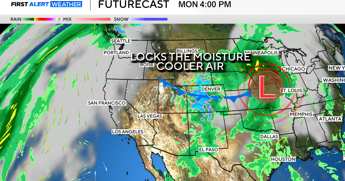 Colorado's dry week could end with a big storm bringing heavy rain and mountain snow
October 26, 2026 / 12:52 PM MDT / CBS Colorado Another storm is looming in Colorado's extended forecast, and we've seen this play out before. The script remains familiar: A surge of Pacific moisture moves into the…
-
 Colorado Springs weather: Mild and sunny for most of the week
After a cool, overcast Sunday and overnight rainfall, Colorado Springs residents can expect warmer, milder conditions this week, according to Gazette news partner KOAA. “We had some rain move in overnight, but that…
-
 Sunday night showers with a nicer week ahead for southern Colorado
A few more showers are possible tonight with cooler temperatures. Tomorrow brings in changes with a quieter pattern. SUNDAY NIGHT: Showers and a few storms are likely around the Pikes Peak Region and further south until…
-
 Tracking warming & drying conditions
TODAY: Any lingering showers should dissipate by late morning. Temperatures will warm from the 30s and 40s this morning to the 60s in Colorado Springs, TODAY: Any lingering showers should dissipate by late morning…
-
 Clouds clear heading into the work week
Sara studied Journalism and Atmospheric and Oceanic Sciences at the University of Colorado, Boulder. She is currently a graduate student in Meteorology at Mississippi State, where she has worked on research studying how…
-
 Tracking dense morning fog, more showers & storms
TODAY: We're tracking a cold and foggy start. Expect temps to warm from the 30s and low 40s to the 50s this afternoon. It's a breezy and cool day with TODAY: We're tracking a cold and foggy start. Expect temps to warm…
- Special Weather Statement issued October 25 at 4:34AM MDT by NWS Pueblo CO
Special Weather Statement: Northern El Paso County/Monument Ridge/Rampart Range Below 7500 Ft; Colorado Springs Vicinity/Southern El Paso County/Rampart Range Below 7400 Ft until Oct 25 at 10:49 AM The post Special…
-
 Colorado Forecasters Sound The Alarm On Early-Season Slabs
The first blanket of white across the Rocky Mountains always brings out pure excitement. Skiers and splitboarders are dusting off gear, waxing bases, and hunting down high-elevation lines. However, early October storms…
-
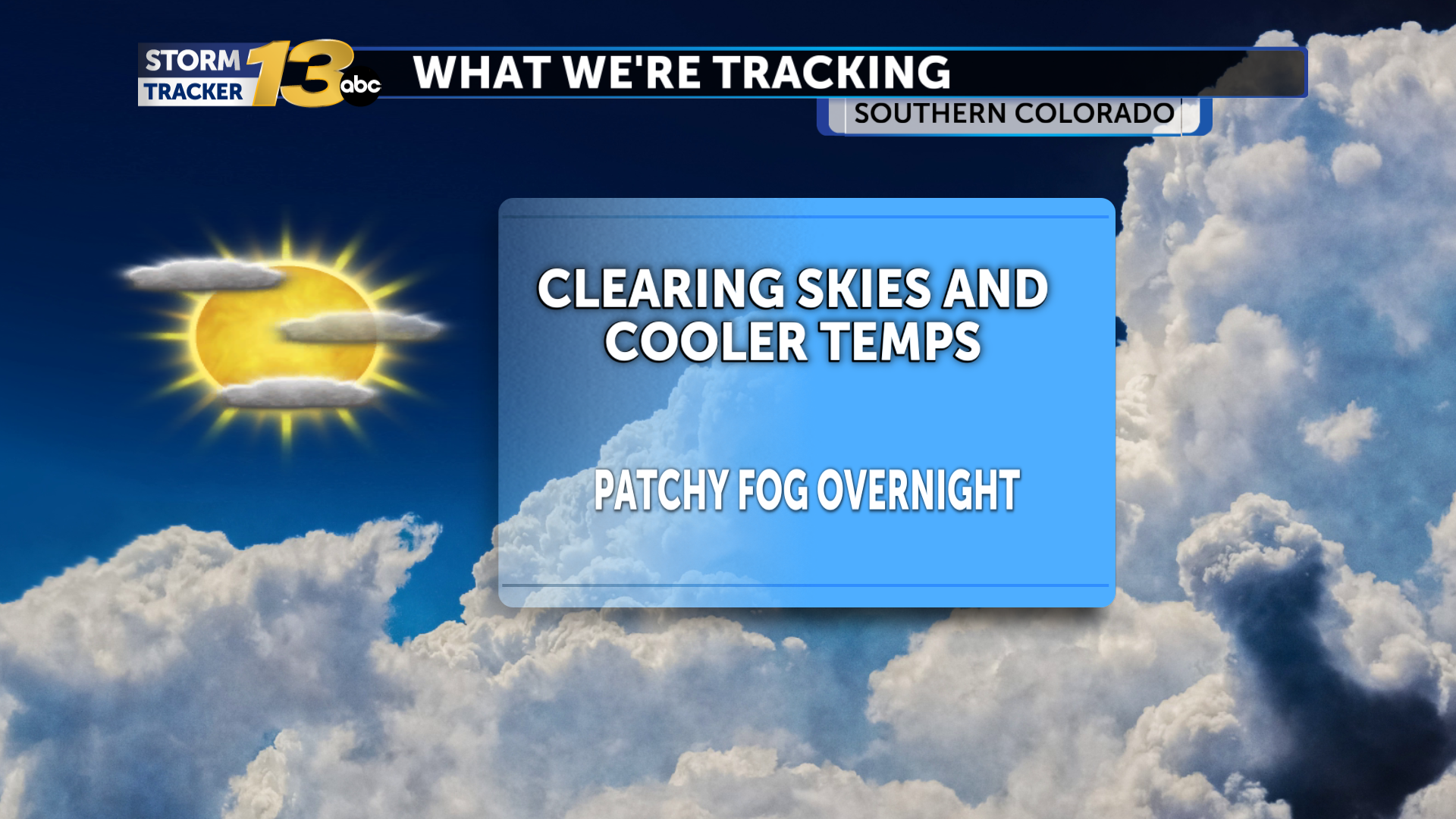 Patchy fog possible as skies clear out
Our upper-level storm system, responsible for the recent active weather, is departing our area. Temperatures are cooler in its wake, and skies are Any fog will burn off by later in the morning hours, and sunshine should…
Air quality
Air quality is satisfactory, and air pollution poses little or no risk.
Forecast
- MonGood
- TueGood
Denver-Boulder, CO reporting area · 2 hrs ago. Data from AirNow (EPA and its state, local and tribal partners); preliminary and subject to change.
Sun & moon
Almanac
MonthlyKassler, records since 1918. Normals 1991–2020. Data from NOAA's Regional Climate Centers (ACIS).
Nearby
- Denver 14 km
- Aurora 16 km
- Lakewood 15 km
- Thornton 28 km
- Westminster 25 km
- Arvada 24 km
- Centennial 8 km
- Boulder 52 km
- Highlands Ranch 7 km
- Broomfield 36 km
- Castle Rock 28 km
- Commerce City 21 km
Forecasters' discussion
From the National Weather Service office in BOU, issued 4 hrs ago
Key Messages
- Areas of fog, some dense, across the plains and I-25 Corridor tonight into Tuesday morning.
- Warmer and mostly dry much of this week.
- Unsettled weather potentially returning late in the weekend and early next week, with a 20-30% chance of season's first snow in lower elevations toward Tuesday.
Bou Watches
None.
Forecasts, observations and alerts in the United States come from the National Weather Service (NOAA); radar from NOAA's Multi-Radar Multi-Sensor system; satellite imagery from NASA's Global Imagery Browse Services (GIBS) and NOAA's GOES satellites; the map from the U.S. Geological Survey's National Map; air quality from AirNow (EPA and its partners); hurricane information from the National Hurricane Center; climate normals and records from NOAA's Regional Climate Centers (ACIS). Forecasts outside the United States and the UV index: MET Norway (CC BY 4.0); observations outside the U.S.: airport reports via NOAA's Aviation Weather Center. Place names: GeoNames (CC BY 4.0). Data are copied on a schedule and may lag the sources; for warnings that affect your safety, follow your local National Weather Service office and emergency officials. Weather news is drawn from the 4Conservative index and reflects what the press published. Terms of use. How to use Weather