Install
Williams, CA Weather
Current conditions
Observed at SAC NWR · 1 hr ago
Forecast
10-day-
This Afternoon
A slight chance of showers and thunderstorms before 3pm. Mostly cloudy, with a high near 73. Southeast wind around 6 mph. Chance of precipitation is 20%. New rainfall amounts less than a tenth of an inch possible.
-
Tonight
Rain likely. Cloudy. Low around 53, with temperatures rising to around 56 overnight. Southeast wind 1 to 5 mph. Chance of precipitation is 60%. New rainfall amounts less than a tenth of an inch possible.
-
Thursday
Rain likely. Mostly cloudy. High near 69, with temperatures falling to around 67 in the afternoon. Southeast wind 1 to 5 mph. Chance of precipitation is 70%. New rainfall amounts less than a tenth of an inch possible.
National Weather Service forecast updated 3 hrs ago.
Hourly
Hourly forecast- Now71°16%
- 3 PM72°12%
- 4 PM71°12%
- 5 PM72°14%
- 6 PM71°15%
- 7 PM66°15%
- 8 PM63°25%
- 9 PM61°46%
- 10 PM60°64%
- 11 PM59°61%
- Thu12 AM59°49%
- 1 AM58°37%
- 2 AM57°19%
- 3 AM57°19%
- 4 AM56°29%
- 5 AM56°44%
- 6 AM55°46%
- 7 AM54°31%
- 8 AM56°35%
- 9 AM58°31%
- 10 AM61°25%
- 11 AM61°43%
- 12 PM63°49%
- 1 PM64°57%
Daily forecast
Details- TodayOct 21Slight Chance Showers And Thunderstorms64%53°73°
- ThuOct 22Light Rain Likely65%51°69°
- FriOct 23Mostly Sunny46°73°
- SatOct 24Sunny43°75°
- SunOct 25Mostly Sunny44°74°
- MonOct 26Sunny45°73°
- TueOct 27Mostly Sunny44°73°
- WedOct 28Sunny52°81°
- ThuOct 29Sunny49°78°
Days after the National Weather Service's seven are MET Norway's outlook, a computer model with no forecaster's review.
Radar
Full mapWeather news near Williams
More weather news-
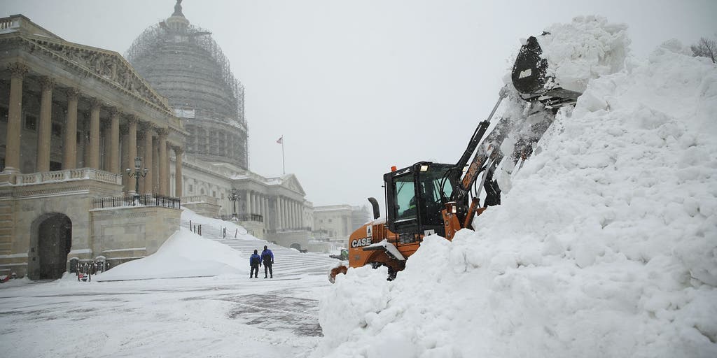 Could history repeat itself? How past Super El Niño winters offer clues about what's ahead
Winter is near, and super El Niño is forecast to make it quite a winter to remember. FOX Weather Meteorologists Stephen Morgan, Bayne Froney, Britta Merwin and Craig Herrera break down the forecast and talk about past…
-
 Work week weather: Sunny, dry autumn days ahead in Clarksville
CLARKSVILLE, TN (CLARKSVILLE NOW) – Sunny skies and warming temperatures are expected this week, with highs climbing into the upper 70s by Wednesday. Patchy morning fog is possible Monday and Tuesday, but otherwise dry…
-
 IN Paducah KY Zone Forecast
for Friday, October 16, 2026 140 FPUS53 KPAH 171034 National Weather Service Paducah KY Including the city of Fort Branch 30s. Northeast winds around 5 mph in the evening, becoming light 632 AM EDT Sat Oct 17 2026…
-
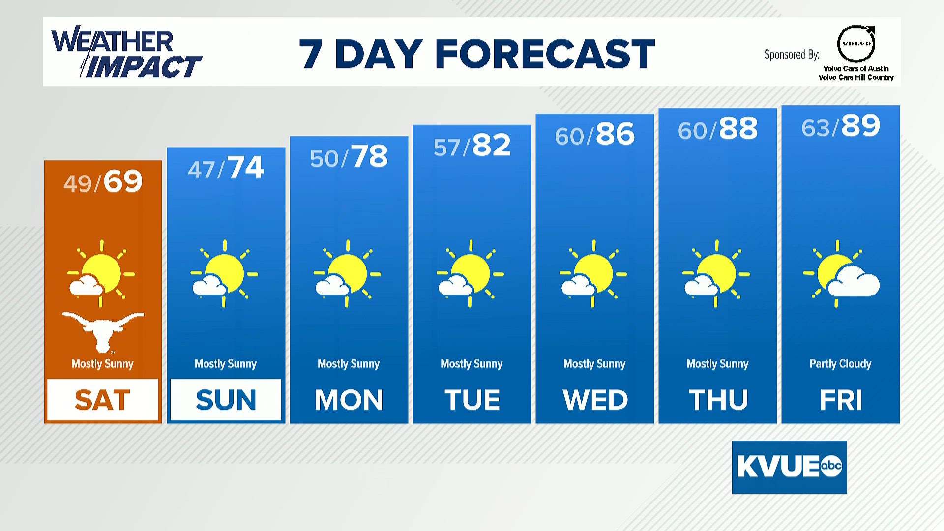 Austin-area weather: October 16th evening forecast with Chief Meteorologist Hunter Williams
KVUE Austin-area weather: October 16th evening forecast with Chief Meteorologist Hunter Williams To stream KVUE on your phone, you need the KVUE app. Download the KVUE app Next up in 5 Example video title will go here…
-
 CoastTV Evening Forecast Update 10/16/2026
CoastTV Chief Meteorologist Paul Williams is tracking the threat of severe t-storms in our area for Friday evening; and pinpointing the concerns for Gale Winds on several beaches over the weekend.
-
 Dangerous Freeze Watch for Parts of Indiana and Michigan as Temperatures Drop
A Freeze Watch is in effect for northern, east central and southeast Indiana from late Saturday night through Sunday morning, with lows as cold as 31 degrees possible. A Frost Advisory comes first, for parts of northern…
- MI WFO DETROIT Warnings, Watches, and Advisories
WFO DETROIT Warnings, Watches and Advisories for Saturday, October 17, 2026 URGENT - WEATHER MESSAGE 159 PM EDT Fri Oct 16 2026 Sanilac, St. Clair, Washtenaw, and Wayne Counties. outdoor plants may be killed if left…
- OH WFO CINCINNATI Warnings, Watches, and Advisories
WFO CINCINNATI Warnings, Watches and Advisories for Sunday, October 18, 2026 URGENT - WEATHER MESSAGE National Weather Service Wilmington OH 130 PM EDT Fri Oct 16 2026 and northern Kentucky, and central, south central…
-
 Philadelphia weather: Severe weather threat for tomorrow
FOX 29 Philadelphia FOX 29 meteorologist Scott Williams looks at current conditions and breaks down the 7-day forecast ahead of potential storms tomorrow evening.
-
 Citrus Heights expands sandbag availability to four weekends ahead of winter weather
By Sara Beth Williams– Ahead of a predicted record-strength El Nino winter, Citrus Heights has announced expanded distribution of their sandbags program for local residents. The city announced Wednesday that four…
Air quality
Acceptable. Unusually sensitive people should consider limiting prolonged outdoor exertion.
Forecast
- WedGood
- ThuGood
Gridley, CA reporting area · 1 hr ago. Data from AirNow (EPA and its state, local and tribal partners); preliminary and subject to change.
Sun & moon
Almanac
MonthlyCounty Line California, records since 1994. Normals 1991–2020. Data from NOAA's Regional Climate Centers (ACIS).
Nearby
- Yuba City 46 km
- Linda 52 km
- South Yuba City 44 km
- Clearlake 47 km
- Olivehurst 52 km
- Marysville 48 km
- Live Oak 44 km
- Gridley 46 km
- Willows 41 km
- Colusa 14 km
- Plumas Lake 53 km
- Hidden Valley Lake 52 km
Forecasters' discussion
From the National Weather Service office in STO, issued 1 hr ago
Key Messages
- Scattered showers, thunderstorms, and high elevation snow showers expected through late Thursday.
- Drier weather moves in Friday and into the weekend, with breezy north to east winds Friday.
- Ridge builds in over the weekend, with slight chances for showers in Shasta county.
.DISCUSSION...
...Today through Thursday...
Current radar has a swath of rain and isolated thunderstorms through the Coastal Range down toward the Sierra Foothills. The track is to the north-northwest. We have seen a few lightning strikes over the past couple of hours, but they remain few and far between storms. There are gaps of coverage in the rain as it moves through the area, but HIRES guidance continues to show the swath of rain filling in completely over the next several hours and begin to push toward the north and east as the main upper level system off the coast moves onshore. Instability has been lacking in the latest observations, with only up to 250 J/kg across the Valley, foothills, and mountains. This will likely continue for the rest of the afternoon. Cloud coverage is the key into keeping the instability lower than expected. None the less, moisture content is high and lift is present to development thunderstorms and at least maintain them through this evening. The question remains on if these storms will be able to sustain hail shafts long enough to produce nickel or even quarter size hail. As of right now, we are leaning toward small hail as a possibility and brief gusty winds in the strongest of storms. Brief heavy rain and frequent lightning will also be a hazard to watch out for.
Aviation
Showers and isolated thunderstorms will be possible through the afternoon and into the evening hours, with lowered ceilings. Ceilings should remain VFR, but chances are there for MVFR for all sites post 00z. Best timeframe for thunderstorms will be 2000z through 0400z for all sites. Winds will remain light throughout the day. Areas in and around thunderstorms may see erratic winds, brief moderate rain reducing visibilities and IFR ceilings. Otherwise, we are looking at a lull in activity later tonight around 09-10z through the mid morning hours. During this lull isolated to scattered showers at times for the sites. Near the end of the TAF period thunderstorm chances start to increase once again.
Sto Watches
None.
Forecasts, observations and alerts in the United States come from the National Weather Service (NOAA); radar from NOAA's Multi-Radar Multi-Sensor system; satellite imagery from NASA's Global Imagery Browse Services (GIBS) and NOAA's GOES satellites; the map from the U.S. Geological Survey's National Map; air quality from AirNow (EPA and its partners); hurricane information from the National Hurricane Center; climate normals and records from NOAA's Regional Climate Centers (ACIS). Forecasts outside the United States and the UV index: MET Norway (CC BY 4.0); observations outside the U.S.: airport reports via NOAA's Aviation Weather Center. Place names: GeoNames (CC BY 4.0). Data are copied on a schedule and may lag the sources; for warnings that affect your safety, follow your local National Weather Service office and emergency officials. Weather news is drawn from the 4Conservative index and reflects what the press published. Terms of use.