Install
Santa Cruz, CA Weather
Current conditions
Forecast for this hour (no station report in the last two hours)
Forecast
10-day-
Sunday
Partly sunny. High near 72, with temperatures falling to around 68 in the afternoon. South southwest wind 1 to 5 mph.
-
Sunday Night
Mostly cloudy, with a low around 50. Northwest wind 0 to 3 mph.
-
Monday
Sunny, with a high near 70. North northwest wind 2 to 12 mph, with gusts as high as 20 mph.
National Weather Service forecast updated 10 hrs ago.
Hourly
Hourly forecast- Now67°
- 1 PM68°
- 2 PM69°
- 3 PM70°
- 4 PM69°
- 5 PM68°
- 6 PM65°
- 7 PM61°
- 8 PM59°
- 9 PM59°
- 10 PM58°
- 11 PM57°
- Mon12 AM56°
- 1 AM54°
- 2 AM53°
- 3 AM52°
- 4 AM51°
- 5 AM50°
- 6 AM50°
- 7 AM50°
- 8 AM51°
- 9 AM56°
- 10 AM59°
- 11 AM63°
10-day forecast
Details- TonightOct 24Mostly Clear50°
- TodayOct 25Partly Sunny50°72°
- MonOct 26Sunny48°70°
- TueOct 27Mostly Sunny48°67°
- WedOct 28Mostly Cloudy50°66°
- ThuOct 29Partly Sunny18%48°63°
- FriOct 30Chance Light Rain34%47°61°
- SatOct 31Chance Light Rain32%61°
- SunNov 1Mostly sunny0.02 in47°63°
- MonNov 2Cloudy48°62°
Days after the National Weather Service's seven are MET Norway's outlook, a computer model with no forecaster's review.
Radar
Full mapWeather news near Santa Cruz
More weather news-
 The spooky secret hiding inside Pacific Northwest Glaciers | CNN
Glacier ice worms look like monsters from a horror movie. But they could reveal clues to how life survives in extremes — if they survive human-made warming. An astronaut aboard SpaceX Dragon and a videographer beside a…
-
 Fire whirl flares during French protests | CNN
A fire whirl was spotted briefly during anti-government protests in Clermont-Ferrand, a city in central France. An astronaut aboard SpaceX Dragon and a videographer beside a lake in Canada share two amazing views of…
-
 Tropical Storm Vance has formed in the Pacific Ocean
Vance was located about 520 miles south of Acapulco, Mexico, on Wednesday afternoon. The center of the cyclone was at sea and posed no threat to land. Vance was located about 520 miles south of Acapulco, Mexico. Maximum…
-
 Super Typhoon Champi is the strongest storm of the year | CNN
Super Typhoon Champi's sustained winds swelled to 185 mph, making it the strongest storm to form on the planet this year. An astronaut aboard SpaceX Dragon and a videographer beside a lake in Canada share two amazing…
-
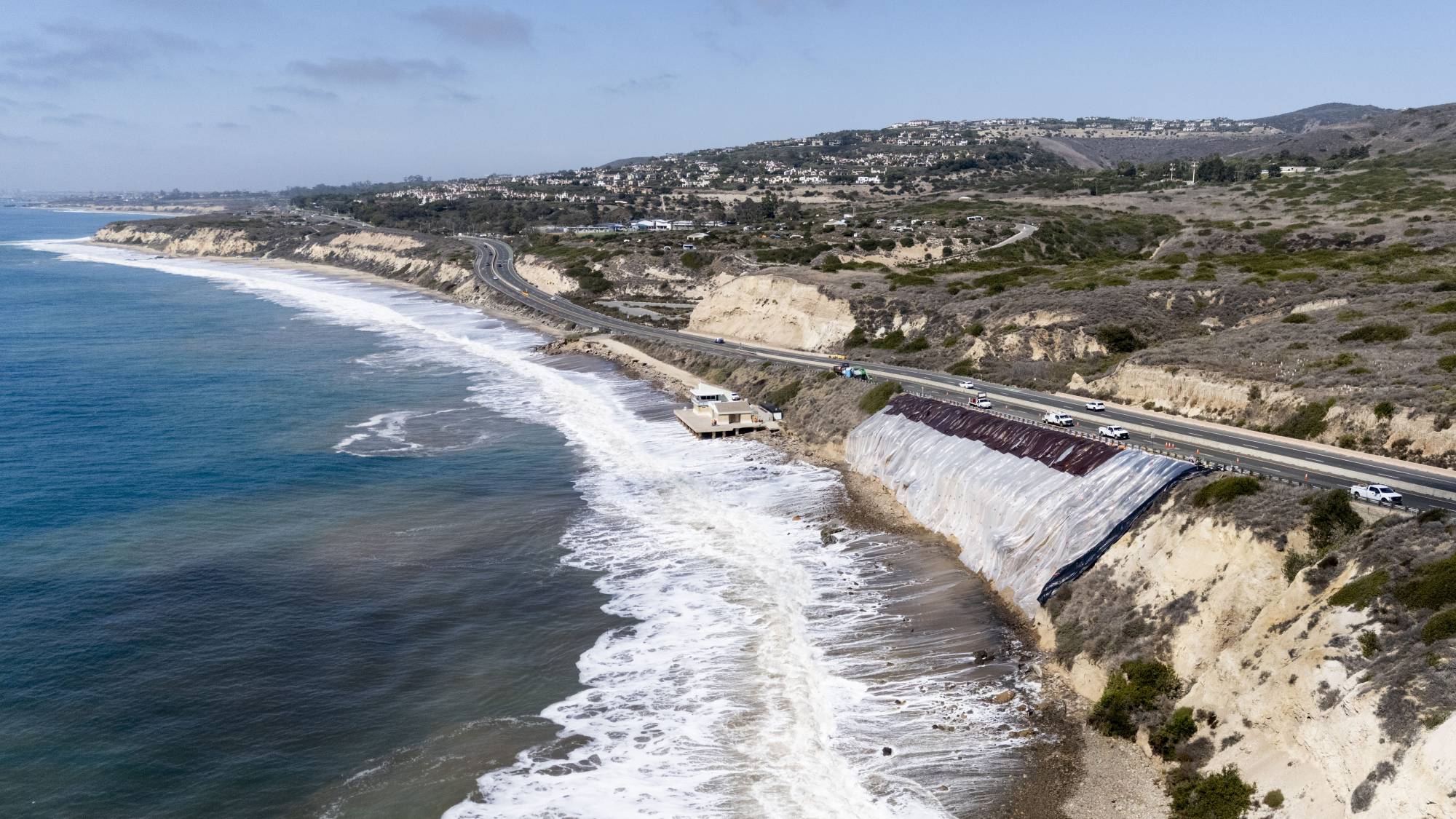 Super El Niño Threatens Heavy Storms, Flooding and Coastal Erosion
KQED Super El Niño Threatens Heavy Storms, Flooding and Coastal Erosion Airdate: Wednesday, October 21, 2026 at 10 AM Communities up and down California are bracing for what experts are calling a “Super El Niño” that…
-
 California's rainy season to arrive with flood threat, tornado risk and Sierra snow
California's wet season is starting off with a bang. The first significant storm of the season is forecast to bring heavy rain to vulnerable burn scars near Big Sur, coastal tornado risk to the Los Angeles area, and a…
-
 Violent storms drench Corsica and southern France | CNN
On Tuesday, “unprecedented” precipitation hit Corsica, a French island in the Mediterranean. Over four months of rain (21 inches) fell in six hours, setting a new record for France. An astronaut aboard SpaceX Dragon and…
-
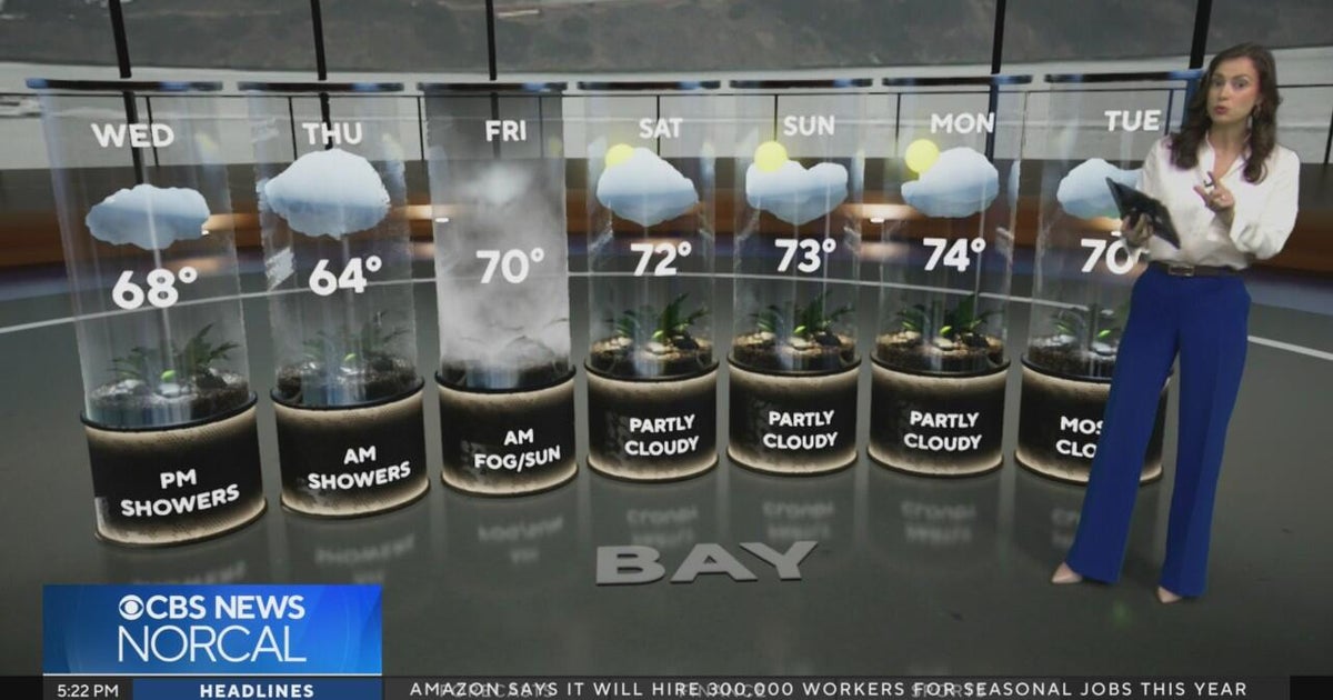 Tuesday evening First Alert weather forecast - 10/20/26
CBS News Tuesday evening First Alert weather forecast - 10/20/26 Becerra, Hilton campaign for California governor in Bay Area 2 weeks out from Election Day Oakland considers raising nuisance property fines to $10,000 a…
-
 Bay Area could see its most rain since May. Here's how much to expect
The Bay Area will soon see its first legitimate rain chance of the season, but the window for wet weather is trending later and weaker than previously indicated. Rain is not expected to begin until Wednesday morning at…
-
 Will it rain on Halloween in Southern California? Here’s what forecasters say
Southern California residents may want to keep an umbrella handy this Halloween, as forecasters monitor another potential round of rain that could arrive just in time for trick-or-treating. A low-pressure system…
Air quality
Air quality is satisfactory, and air pollution poses little or no risk.
Forecast
- SunGood (45)
- MonGood
- TueGood
Santa Cruz, CA reporting area · 1 hr ago. Data from AirNow (EPA and its state, local and tribal partners); preliminary and subject to change.
Sun & moon
Almanac
MonthlyWatsonville Waterworks, records since 1908. Normals 1991–2020. Data from NOAA's Regional Climate Centers (ACIS).
Nearby
- San Jose 42 km
- Salinas 47 km
- Sunnyvale 44 km
- Santa Clara 43 km
- Redwood City 60 km
- Mountain View 46 km
- Milpitas 52 km
- Palo Alto 53 km
- Cupertino 39 km
- Watsonville 25 km
- Gilroy 41 km
- Morgan Hill 38 km
Forecasters' discussion
From the National Weather Service office in MTR, issued 7 hrs ago
Key Messages
Updated at 1207 AM PDT Sun Oct 25 2026
- Seasonably warm conditions today
- Cool conditions through the next week
- Rain chances late week into the upcoming weekend
- Minor coastal flooding at high tide for Bayshore locations through the week
Short Term
Issued at 1207 AM PDT Sun Oct 25 2026 (Today and tonight)
Satellite imagery reveals mostly clear skies across the region save for a patch of stratus that has developed near Bodega Bay and Dillon Beach and a little bit eastward through the Petaluma Gap. Skies should remain mostly clear through the next day, barring any radiational stratus and fog that develops within the North Bay early in the morning, which should dissipate after sunrise.
A warm period continues across the region as a shortwave ridge sandwiched between a departing low moving into the Desert Southwest and an developing one off the coast of British Columbia and the Pacific Northwest. Highs remain seasonably warm with highs in the lower to middle 70s expected across the inland valleys, highs in the upper 70s across the warmest spots of the southern Salinas Valley and the Morgan Hill-Gilroy area, the upper 60s to lower 70s close to the Bays, and the upper 50s to middle 60s along the Pacific coast. A gentle onshore breeze should develop in the afternoon, with gusts to 20 mph possible within the Salinas Valley.
A combination of high astronomical tides and surge from thermal expansion effects brings the risk of minor coastal flooding across Bayshore locations within the San Pablo Bay, San Francisco Bay, and Monterey Bay at high tide today. At the San Francisco tidal gauge, high tide is expected to be 1.5 ft above normal (7.3 ft MLLW) at 11:07 AM Sunday 10/25, including around 1.0 ft of surge residual partially attributed to impacts from El Nino.
Long Term
Issued at 1207 AM PDT Sun Oct 25 2026 (Monday through Saturday)
Large-scale troughing persists across the Western US as a low moves across the Pacific Northwest, and by the middle of the week, a second developing low over British Columbia will interact with a decaying low moving in from the central Pacific to reinforce the troughing. Some light sprinkles are possible in the northern coastal waters and the adjacent areas of the North Bay on Monday morning as the low passes by, but most of the impacts will be felt along the North Coast and across Oregon. Otherwise, highs will start to dip for the work week, with highs in the inland valleys dropping to the middle to upper 60s by Monday and the lower to middle 60s for the second half of the week.
The end of the week into the upcoming weekend is where things get interesting in terms of the forecast, for it is where the model outputs start to diverge and the resulting uncertainty ratchets upward. Comparing mean outputs from two of the global ensemble models reveals a remarkably different solution across the Western United States. The European ECMWF ensemble model mean suggests that the trough will continue handing on through the upcoming weekend while the American GEFS ensemble model mean depicts a slight ridge coming in and breaking up the trough's influence by next Sunday, the first day of November. Ensemble model cluster analysis for Day 7 (Saturday) reinforces this split between a more trough-influenced solution from the European ensemble members, and a more ridge- influenced solution from the American ensemble members, with the members of the Canadian GEPS ensemble model split between the two with a slight lean towards the American ensemble solution. As a side note, this whole discussion may illuminate why model output around and beyond 200 hours is generally considered unreliable by those. The current forecast shows rain chances coming in Friday into the upcoming weekend, but with the split between the models that's pretty much all that can be said with even a moderate degree of confidence. We will keep a close eye on the forecast, not least because it could determine whether people need to consider ponchos or umbrellas as part of their Halloween plans.
Coastal flooding concerns continue across Bayshore locations within the San Pablo, San Francisco, and Monterey Bays through the next week, and will expand into the Pacific coastal regions by Monday through Friday. At the San Francisco tidal gauge, high tide is expected to be 1.6 ft above normal (7.4 ft MLLW) at 11:39 AM Monday 10/26, 1.8 ft above normal (7.6 ft MLLW) at 12:15 PM Tuesday 10/27, 1.9 ft above normal (7.7 ft MLLW) at 12:56 PM Wednesday 10/28, 1.7 ft above normal (7.5 ft MLLW) at 01:43 PM Thursday 10/29, 1.4 ft above normal (7.2 ft MLLW) at 2:39 PM on Friday 10/30, and 1.0 feet above normal (6.8 ft MLLW) at 3:44 PM on Saturday 10/31, including around 1.0 ft of surge residual partially attributed to impacts from El Nino.
Aviation
(12Z TAFS) Issued at 447 AM PDT Sun Oct 25 2026
Widespread VFR conditions prevail through the TAF cycle. Light offshore winds lingered overnight which reduced the chances for fog development in the North Bay interior valleys. By late morning, onshore winds increase with high clouds dominating the skies. As the mid to upper-level low pressure approaches the Pacific Northwest Sunday evening, the marine layer will gradually reform itself. Low confidence on its exact impacts and how much it will deepen. If ceilings develop, they are likely to remain MVFR and develop after the current TAF package.
Vicinity of SFO...VFR. Light and variable winds become west- northwest around 10 kt through the afternoon and gradually ease post- sunset. A deepening marine layer Sunday night may result in a few to scattered low cloud decks, though not currently expecting any impacts to flight categories within the TAF period.
SFO Bridge Approach...Similar to SFO.
Monterey Bay Terminals...VFR with gentle to moderate south to southeast breezes through sunrise. Onshore winds prevail through the afternoon. Low cloud decks begin to develop around sunset with stratus impacts likely around sunrise, though low confidence on the exact timing.
Forecasts, observations and alerts in the United States come from the National Weather Service (NOAA); radar from NOAA's Multi-Radar Multi-Sensor system; satellite imagery from NASA's Global Imagery Browse Services (GIBS) and NOAA's GOES satellites; the map from the U.S. Geological Survey's National Map; air quality from AirNow (EPA and its partners); hurricane information from the National Hurricane Center; climate normals and records from NOAA's Regional Climate Centers (ACIS). Forecasts outside the United States and the UV index: MET Norway (CC BY 4.0); observations outside the U.S.: airport reports via NOAA's Aviation Weather Center. Place names: GeoNames (CC BY 4.0). Data are copied on a schedule and may lag the sources; for warnings that affect your safety, follow your local National Weather Service office and emergency officials. Weather news is drawn from the 4Conservative index and reflects what the press published. Terms of use. How to use Weather