Install
Lake Forest, CA Weather
Current conditions
Observed at CW5283 Foothill Ranch · 1 hr ago
Forecast
10-day-
Tonight
A slight chance of rain showers after 5am. Partly cloudy, with a low around 61. Southeast wind around 5 mph. Chance of precipitation is 20%.
-
Wednesday
Rain showers likely. Partly sunny, with a high near 76. South wind 0 to 10 mph. Chance of precipitation is 60%. New rainfall amounts between a tenth and quarter of an inch possible.
-
Wednesday Night
Rain showers likely before 11pm, then showers and thunderstorms. Some of the storms could produce heavy rain. Cloudy, with a low around 61. Southeast wind around 5 mph. Chance of precipitation is 100%. New rainfall amounts between three quarters and one inch possible.
National Weather Service forecast updated 13 hrs ago.
Hourly
Hourly forecast- Now64°
- 2 AM63°
- 3 AM63°
- 4 AM62°
- 5 AM62°18%
- 6 AM62°18%
- 7 AM61°18%
- 8 AM63°18%
- 9 AM67°18%
- 10 AM70°18%
- 11 AM73°43%
- 12 PM74°43%
- 1 PM76°43%
- 2 PM75°43%
- 3 PM75°43%
- 4 PM74°43%
- 5 PM72°62%
- 6 PM71°62%
- 7 PM68°62%
- 8 PM67°62%
- 9 PM66°62%
- 10 PM65°62%
- 11 PM64°96%
- Thu12 AM64°96%
10-day forecast
Details- TonightOct 20Partly Cloudy then Slight Chance Rain Showers18%61°
- TodayOct 21Rain Showers Likely96%61°76°
- ThuOct 22Showers And Thunderstorms90%57°70°
- FriOct 23Mostly Sunny57°72°
- SatOct 24Sunny60°79°
- SunOct 25Sunny61°82°
- MonOct 26Sunny61°83°
- TueOct 27Mostly Sunny82°
- WedOct 28Cloudy70°91°
- ThuOct 29Cloudy64°86°
Days after the National Weather Service's seven are MET Norway's outlook, a computer model with no forecaster's review.
Radar
Full mapWeather news near Lake Forest
More weather news-
 Rain — and potentially lots of it — heading to Southern California
Widespread rain and possible thunderstorms are headed for Southern California this week, with forecasters on Monday warning that some areas could receive up to 2 inches of rain. The National Weather Service said a…
-
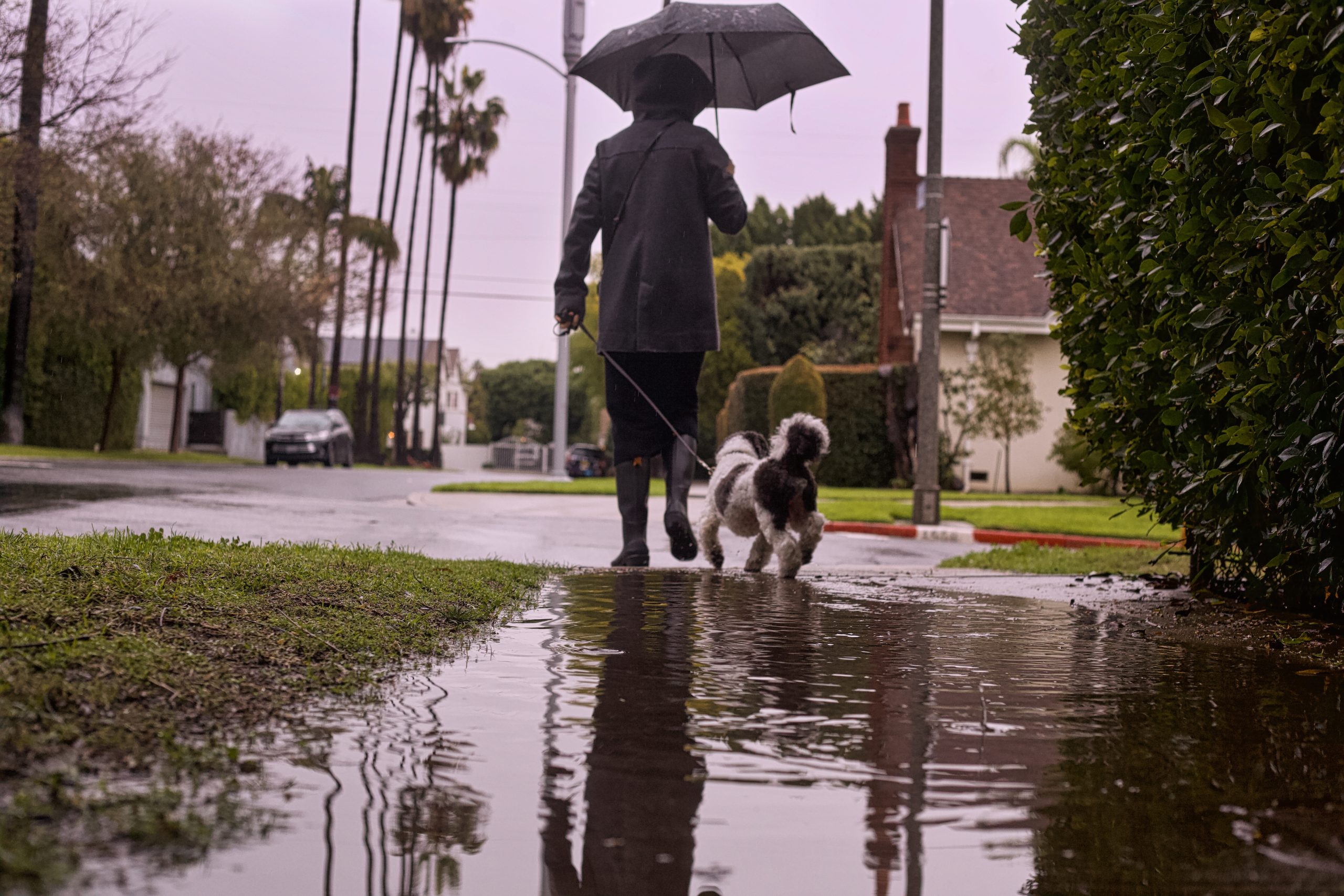 Storm Could Bring Up to 2 Inches of Rain to Southland
A strong October storm was moving toward Southern California Tuesday, with forecasters warning of widespread rain, possible thunderstorms and an increasing risk of localized flooding. The National Weather Service said…
-
 Cooler temperatures, possible rain headed for Southern California
It’s time to grab those jackets and pull out the umbrellas because cooler temperatures and a chance of rain is on tap for Southern California by the middle of this week, forecasters say. The region could see widespread…
-
 Santa Ana winds diminish, comfortable conditions ahead
THOUSAND PALMS, Calif. (KESQ) — Elevated Santa Ana winds have diminished overnight, meaning the high wind warning from the National Weather Service is no longer in effect. However, winds will pick up again later this…
-
 Cool weather and rain on tap for San Diego County this week
A north Pacific storm that’s drawing moisture from distant Tropical Storm Trudy will spread across San Diego County late Tuesday night and drop a half-inch or more of precipitation through Friday, the National Weather…
-
 Quiet, warm Sunday expected across Kern County as Santa Ana winds fade
by Chief Meteorologist Ilya Neyman BAKERSFIELD, Calif. (KBAK/KBFX) — A quiet, but still warm, day is in store across Kern County USA on Sunday. The Santa Ana wind pattern is going to be history while a new weather…
-
 Tailgate forecast: Football weather is back this weekend
Fans tailgate and grill outside on a cold day. Football weather has finally arrived. After weeks of heat, cooler air takes over much of the country this weekend, with sweater weather in the South and a chillier feel in…
- This SLO County heat wave will end soon. Once it does, be prepared for some rain
A live data feed from the National Weather Service containing official weather warnings, watches, and advisory statements. Tap warning areas for more details. Sources: NOAA, National Weather Service, NOAA GeoPlatform…
-
 Santa Ana winds ease Saturday, but offshore breezes linger early
by Chief Meteorologist Ilya Neyman BAKERSFIELD, Calif. (KBAK/KBFX) — The first "Santa Ana wind" event of the season is winding down after a couple blustery days across Kern County. Thursday's east/northeasterly winds…
-
 El Niño, Santa Ana winds bringing wild weather patterns | Central Coast Weather Report
A flock of small shorebirds do a flyby of two paddleboarders across Morro Bay. Scattered rain showers across the Cariso Plain. A powerful Santa Ana wind event developed across Southern California last Thursday and…
Air quality
Air quality is satisfactory, and air pollution poses little or no risk.
Forecast
- WedGood (44)
Saddleback Vly, CA reporting area · 1 hr ago. Data from AirNow (EPA and its state, local and tribal partners); preliminary and subject to change.
Sun & moon
Almanac
MonthlySanta Ana Fire Station, records since 1916. Normals 1991–2020. Data from NOAA's Regional Climate Centers (ACIS).
Nearby
- Long Beach 48 km
- Anaheim 30 km
- Riverside 44 km
- Santa Ana 20 km
- Irvine 13 km
- Fontana 55 km
- Moreno Valley 53 km
- Huntington Beach 29 km
- Oceanside 58 km
- Garden Grove 27 km
- Rancho Cucamonga 52 km
- Ontario 46 km
Forecasters' discussion
From the National Weather Service office in SGX, issued 2 hrs ago
Synopsis
A low pressure system moving southward off the California coast will bring general cooling through Thursday. It is also expected to produce showers and a slight chance of thunderstorms for late Wednesday through Thursday is it moves inland through California into Nevada. Warmer and drier for next weekend. Offshore flow on Saturday could produce gusty northeast to east winds in and below mountain passes and canyons as well as the Inland Empire corridor between the Cajon Pass and the Santa Ana Mountains. The offshore flow weakens for Sunday into early next week.
Discussion
FOR EXTREME SOUTHWESTERN CALIFORNIA INCLUDING ORANGE... SAN DIEGO...WESTERN RIVERSIDE AND SOUTHWESTERN SAN BERNARDINO COUNTIES...
...UPDATED AVIATION DISCUSSION...
The low pressure system west of Point Conception continues to move south before turning east Wednesday. It will move through SoCal on Thursday and Friday. It will bring further cooling, a deepening marine layer with more low clouds, and widespread precipitation. Showers could spread into coastal areas during the afternoon on Wednesday. Those showers are expected to spread farther inland for Wednesday night into Thursday with the greatest chances for thunderstorms for late Wednesday night into Thursday.
Between Wednesday and Thursday night, rainfall across Orange and southwestern San Bernardino Counties could range from around 1 inch near the coast to as much as 2 inches in the mountains. Rainfall for San Diego County will range from around 1 inch in North County to 0.50 to 0.75 near the border. High desert areas will receive around 0.50 inch of rainfall and the low deserts will receive 0.25 inch or less. Probabilities for 0.10 inch or more of rainfall from Wednesday morning through Thursday night exceed 90 percent for the coast, valleys, and mountains. Probabilities for 0.50 inch or more exceed 80 percent for the mountains as far south as the northern half of San Diego County. Probabilities for 1 inch or more range from 15 to 50 percent from the coast to the mountains for Orange and southwestern San Bernardino Counties. Probabilities for 2 inches or more exceed 10 percent for the mountains of southwestern San Bernardino County.
High temperatures on Thursday will range from around 5 degrees below average near the coast to 15 to 20 degrees below average for mountain elevations above 6000 feet. High temperatures on Thursday will be in the 60s to around 70 for the coast and valleys and in the 40s and 50s for the mountains.
Precip tapers off late Thu into Fri as the low pressure system moves eastward into AZ.
Marine
A storm system will move through the coastal waters late Wednesday through Thursday. Southerly winds Wednesday will shift to southwesterly Wednesday night, then westerly Thursday, with occasional wind gusts exceeding 20 knots. There is a 15-25% chance of TSRA Wednesday night through Thursday. No additional hazardous marine conditions are expected Thursday night through Sunday.
Beaches
Surf and tides will continue to diminish overnight.
Forecasts, observations and alerts in the United States come from the National Weather Service (NOAA); radar from NOAA's Multi-Radar Multi-Sensor system; satellite imagery from NASA's Global Imagery Browse Services (GIBS) and NOAA's GOES satellites; the map from the U.S. Geological Survey's National Map; air quality from AirNow (EPA and its partners); hurricane information from the National Hurricane Center; climate normals and records from NOAA's Regional Climate Centers (ACIS). Forecasts outside the United States and the UV index: MET Norway (CC BY 4.0); observations outside the U.S.: airport reports via NOAA's Aviation Weather Center. Place names: GeoNames (CC BY 4.0). Data are copied on a schedule and may lag the sources; for warnings that affect your safety, follow your local National Weather Service office and emergency officials. Weather news is drawn from the 4Conservative index and reflects what the press published. Terms of use.