Install
Huron, CA Weather
Current conditions
Observed at KETTLEMAN HILLS · 1 hr ago
Forecast
10-day-
Wednesday
Rain. Cloudy. High near 72, with temperatures falling to around 68 in the afternoon. Southwest wind 0 to 5 mph. Chance of precipitation is 70%. New rainfall amounts between a tenth and quarter of an inch possible.
-
Wednesday Night
Rain. Cloudy, with a low around 53. Southwest wind 0 to 5 mph. Chance of precipitation is 80%. New rainfall amounts between a tenth and quarter of an inch possible.
-
Thursday
A chance of rain. Mostly cloudy, with a high near 71. Southwest wind 0 to 5 mph. Chance of precipitation is 60%. New rainfall amounts less than a tenth of an inch possible.
National Weather Service forecast updated 22 hrs ago.
Hourly
Hourly forecast- Now56°11%
- 9 AM59°11%
- 10 AM63°11%
- 11 AM65°52%
- 12 PM68°52%
- 1 PM69°52%
- 2 PM70°52%
- 3 PM71°52%
- 4 PM69°52%
- 5 PM68°65%
- 6 PM67°65%
- 7 PM64°65%
- 8 PM61°65%
- 9 PM60°65%
- 10 PM59°65%
- 11 PM59°77%
- Thu12 AM58°77%
- 1 AM58°77%
- 2 AM57°77%
- 3 AM56°77%
- 4 AM56°77%
- 5 AM55°51%
- 6 AM54°51%
- 7 AM53°51%
Daily forecast
Details- TueOct 20Mostly Sunny11%54°78°
- TodayOct 21Light Rain77%53°72°
- ThuOct 22Chance Light Rain62%49°71°
- FriOct 23Sunny48°73°
- SatOct 24Sunny50°76°
- SunOct 25Mostly Sunny49°77°
- MonOct 26Sunny49°77°
- TueOct 27Cloudy53°81°
- WedOct 28Cloudy57°84°
Days after the National Weather Service's seven are MET Norway's outlook, a computer model with no forecaster's review.
Radar
Full mapWeather news near Huron
More weather news-
 Metro Detroit Weather: Cool start followed by a bright afternoon
A chilly start, but a beautiful Tuesday ahead, Detroit! Temperatures climb from the low 40s this morning to around 60° by lunchtime, then reach the mid to upper 60s this afternoon. With plenty of sunshine and light…
-
 Freeze warning issued for Northern Ohio Sunday Morning
The National Weather Service has issued a freeze warning for Sunday from 1 a.m. to 9 a.m. across northern Ohio and northwest Pennsylvania, with temperatures dropping as low as 30 degrees. CLEVELAND, OH (MARION COUNTY…
-
 Frost Advisory Issued Until 8AM for Washtenaw County, MI
A Frost Advisory is in effect for Huron, Sanilac, St. Clair, Livingston, Oakland, Macomb, Washtenaw, Wayne, Lenawee, and Monroe Counties from October 16 at 1:59 PM EDT until October 17 at 8:00 AM EDT, with temperatures…
-
 Frost & freeze conditions expected to begin the weekend
Temperatures will fall into the middle 20s to lower 30s by sunrise Saturday. The coldest airmass of the season will be to thank for the chill. Clearer skies and calmer winds will develop as high pressure builds in from…
-
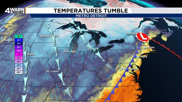 From wind and rain to frost and sunshine in Metro Detroit this weekend
4Warn Weather – Metro Detroit is getting a sharp reminder Friday that fall is firmly in control, but the payoff arrives just in time for a busy weekend filled with football and the Detroit Free Press Marathon. Southeast…
-
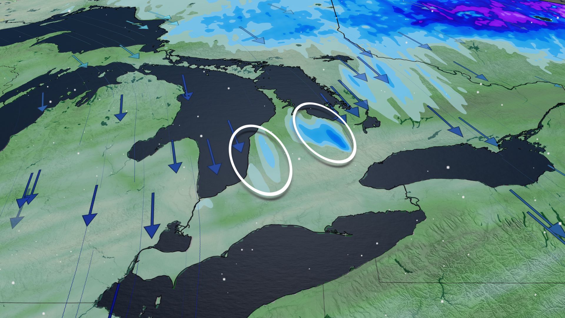 Steep temperature drop could bring Ontario its first snowflakes
An incoming fall storm may bring the first lake-effect snowflakes of the year to parts of southern Ontario Get ready for an abrupt change across southern Ontario over the next couple of days. Temperatures that rose into…
-
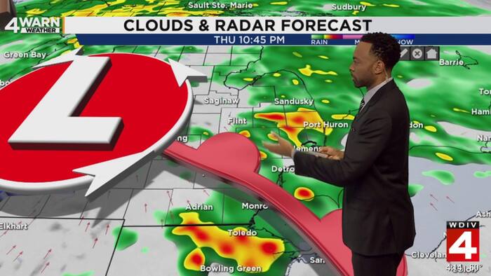 Rain, wind and sharp chill arrive before brighter weekend in Metro Detroit
4Warn Weather — Metro Detroit is heading into a period of changing weather, with rain, gusty winds, falling temperatures, and possible frost all arriving before the weekend settles down. Showers will become more…
-
 Oct 16 weather: Strong winds and thunderstorms in southern Ontario
Published October 15, 2026 at 7:24 pm Friday could bring showers, strong winds and thunderstorms to the Greater Toronto Area and southern Ontario before calmer conditions return on the weekend. Environment and Climate…
-
 Rain moves in tonight, windy & cold Friday
SAGINAW, Mich. (WNEM) - It’s been a dry day so far despite the clouds, but rain is moving in shortly if it hasn’t already. That rain is expected to be with us at times through Friday, and behind it, a true October feel…
-
 Parts of Ontario could get the first snow of the season from a fall storm this weekend
Temperatures near or below zero are forecast in some places. Toronto street with fall leaves and snow. A fall storm that includes a wintry mix of precipitation is in Ontario's weather forecast. Some places could get the…
Air quality
Acceptable. Unusually sensitive people should consider limiting prolonged outdoor exertion.
Forecast
- WedModerate (55)
Hanford, CA reporting area · 1 hr ago. Data from AirNow (EPA and its state, local and tribal partners); preliminary and subject to change.
Sun & moon
Almanac
MonthlyKettleman City, records since 1955. Normals 1991–2020. Data from NOAA's Regional Climate Centers (ACIS).
Nearby
Forecasters' discussion
From the National Weather Service office in HNX, issued 52 min ago
Update
Updated Aviation Section.
Key Messages
1. There is a high confidence in a significant change in the overall weather pattern with temperatures continuing to cool down and precipitation midweek.
2. The first wetting rainfall throughout the entire area is likely with a 55-65% chance of at least a half an inch of rainfall by Thursday evening.
3. Snowfall is likely above 8,000 feet in elevation with a 60-70% chance of at least 4 inches of snowfall (probabilities increase further at higher elevations).
4. The Storm Prediction Center (SPC) has western Kern County in a marginal (level one out of five) risk for severe weather with a 5-14% chance for severe winds tomorrow.
Discussion
Some isolated thunderstorms have developed in Tulare County along the Sierra Nevada crest; otherwise, increasing cloud cover has been occurring this evening. Precipitation is projected to spread over the forecast area by Wednesday morning and continue into Thursday. The bulk will occur Wednesday afternoon until Thursday morning. Many locations can expect a total of one quarter to one half inch in the San Joaquin Valley, while there is near 60 percent chance of exceeding a half inch. The Flood Watch remains in effect for much of Kern County and the higher terrain along the west side of the San Joaquin Valley up to southwestern Fresno County near Coalinga. Higher amounts of precipitation are likely to occur over the Sierra Nevada from the foothills to about 8,000 feet. While some nuisance flooding is also a possibility in these areas, we anticipate less runoff except near burn scars. We are still looking at a good chance for at least a few inches of snow above 8,000 feet in the Sierra Nevada. We will continue the Winter Weather Advisory for these areas from Wednesday morning to Thursday morning. There is a 10-20 percent chance of thunderstorms during Wednesday and Thursday throughout the forecast area. Also, a marginal risk of severe thunderstorms is shown over western Kern County with strong winds as the primary threat, per the latest SPC Day 2 Convective Outlook.
For Friday through next Tuesday, we are looking at continued cooler temperatures and mainly dry conditions. Although temperatures will warm up by several degrees for the weekend until Monday, we are projecting highs mainly in the 70s for the warmest locations. There is a slight chance of precipitation for the middle of next week, but with much uncertainty at this time.
Aviation
Isolated thunderstorms after 18Z Wednesday in the Sierra Nevada along with IFR conditions and mountain obscurations. Elsewhere, MVFR in showers after 21Z Wed with isolated thunderstorms. Winds mainly up to 10 kts at the TAF sites, mainly from the east. Otherwise, VFR conditions will prevail for the next 24 hours.
Forecasts, observations and alerts in the United States come from the National Weather Service (NOAA); radar from NOAA's Multi-Radar Multi-Sensor system; satellite imagery from NASA's Global Imagery Browse Services (GIBS) and NOAA's GOES satellites; the map from the U.S. Geological Survey's National Map; air quality from AirNow (EPA and its partners); hurricane information from the National Hurricane Center; climate normals and records from NOAA's Regional Climate Centers (ACIS). Forecasts outside the United States and the UV index: MET Norway (CC BY 4.0); observations outside the U.S.: airport reports via NOAA's Aviation Weather Center. Place names: GeoNames (CC BY 4.0). Data are copied on a schedule and may lag the sources; for warnings that affect your safety, follow your local National Weather Service office and emergency officials. Weather news is drawn from the 4Conservative index and reflects what the press published. Terms of use.