Install
Greenfield, CA Weather
Current conditions
Forecast for this hour (no station report in the last two hours)
Forecast
10-day-
Friday
Mostly sunny. High near 70, with temperatures falling to around 68 in the afternoon. North wind 0 to 5 mph.
-
Friday Night
Partly cloudy, with a low around 47. East northeast wind 0 to 5 mph.
-
Saturday
Sunny, with a high near 76. North northeast wind 0 to 5 mph.
National Weather Service forecast updated 19 hrs ago.
Hourly
Hourly forecast- Now65°
- 1 PM67°
- 2 PM68°
- 3 PM69°
- 4 PM70°
- 5 PM68°
- 6 PM67°
- 7 PM64°
- 8 PM60°
- 9 PM58°
- 10 PM57°
- 11 PM56°
- Sat12 AM55°
- 1 AM54°
- 2 AM53°
- 3 AM52°
- 4 AM51°
- 5 AM51°
- 6 AM48°
- 7 AM48°
- 8 AM50°
- 9 AM54°
- 10 AM60°
- 11 AM65°
10-day forecast
Details- ThuOct 22Chance Light Rain35%48°71°
- TodayOct 23Mostly Sunny10%47°70°
- SatOct 24Sunny46°76°
- SunOct 25Sunny48°81°
- MonOct 26Sunny47°81°
- TueOct 27Sunny47°78°
- WedOct 28Sunny47°79°
- ThuOct 29Cloudy49°74°
- FriOct 30Partly cloudy54°76°
- SatOct 31Cloudy53°69°
Days after the National Weather Service's seven are MET Norway's outlook, a computer model with no forecaster's review.
Radar
Full mapWeather news near Greenfield
More weather news-
 Quiet, warm Sunday expected across Kern County as Santa Ana winds fade
by Chief Meteorologist Ilya Neyman BAKERSFIELD, Calif. (KBAK/KBFX) — A quiet, but still warm, day is in store across Kern County USA on Sunday. The Santa Ana wind pattern is going to be history while a new weather…
-
 Santa Ana winds ease Saturday, but offshore breezes linger early
by Chief Meteorologist Ilya Neyman BAKERSFIELD, Calif. (KBAK/KBFX) — The first "Santa Ana wind" event of the season is winding down after a couple blustery days across Kern County. Thursday's east/northeasterly winds…
-
 Winds die down this weekend, cooler next week
Strong winds affected most of Kern County on Friday. While Bakersfield was relatively calm, areas south of Bakersfield like Lamont and Mettler had gusts over 30 miles per hour. Even stronger gusts were reported in our…
-
 California Weather: NHS Forecasts Clearning Skies, Light Showers, Strong Winds Across Sacramento, Sierra Foothills and Northern California – Check Forecast & Latest Updates
Northern California is forecast to see gradually clearing skies on Friday following recent unsettled weather. Read for more details. The post California Weather: NHS Forecasts Clearning Skies, Light Showers, Strong…
-
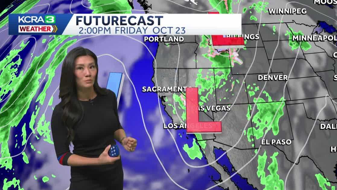 Northern California forecast: Warmer and breezy Friday as we dry out
Mist, sprinkles and light showers are lingering across Northern California this morning, but drier weather and sunshine will return by the afternoon. Most of the region should be dry by noon, with clearing skies…
-
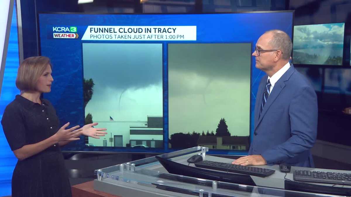 California weather with Dirk & Heather: How much rain did we get?
KCRA California weather with Dirk & Heather: How much rain did we get? Scattered showers and thunderstorms have brought beneficial rain to many places across the state. Scattered showers and thunderstorms have brought…
-
 Southern California weather — Fall Storm Brings Thunderstorms and Flood Advisories
A recent Southern California weather system driven by an autumn storm is continuing to bring thunderstorms, lightning, and heavy rain to the region. With localized downpours expected, authorities have issued strict…
-
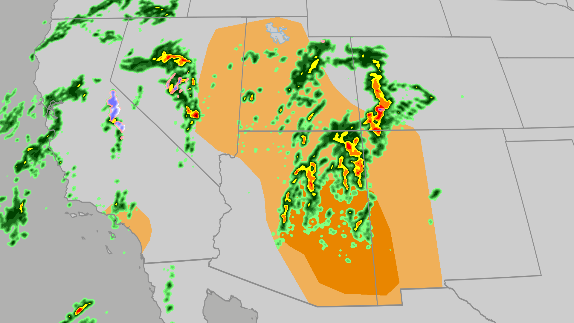 Severe weather, flood risk across Four Corners, California
The Weather Channel Tornadoes, flooding, large hail possible in Four Corners, California Parts of the Four Corners and Southern California face an elevated risk of severe weather on Thursday, which includes the…
-
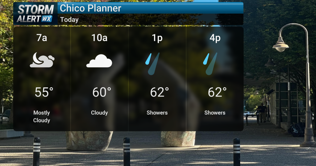 Showery conditions, possible thunderstorms impact Northern California today
Cloudy skies are expected across Northern California today, bringing periods of rain and a chance of thunderstorms later in the day. Highs will reach the mid-60s with winds from the south between 10 and 15 mph. Rain and…
- Air quality alert affecting Southern California Thursday
Sacramento Bee The creation of this content included the use of AI based on templates created, reviewed and edited by journalists in the newsroom. Read more on our AI policy here. On Thursday at 7:36 a.m. the NWS…
Air quality
Air quality is satisfactory, and air pollution poses little or no risk.
Forecast
- FriGood (50)
Bakersfield, CA reporting area · 2 hrs ago. Data from AirNow (EPA and its state, local and tribal partners); preliminary and subject to change.
Sun & moon
Almanac
MonthlyBakersfield Area, records since 1893. Normals 1991–2020. Data from NOAA's Regional Climate Centers (ACIS).
Nearby
Forecasters' discussion
From the National Weather Service office in HNX, issued 7 hrs ago
Update
Updated Aviation Section.
Key Messages
1. There remains at least a slight chance for additional, mainly light, precipitation in the Sierra Nevada until Friday evening.
2. Temperatures will warm up to near average this weekend with dry conditions in place into much of next week.
Discussion
This afternoon and early evening became quite active with scattered showers and isolated thunderstorms across the forecast area. The heaviest rain showers occurred in Merced, which prompted a Flood Advisory. Some reports of street flooding were received for southwestern portions of Merced, as over an inch of rain fell in about an hour (around 4:30 to 5:30 PM). However, precipitation has mainly ended, except for light showers, mainly Fresno County northward. We have let the Flood Watch expire at 8 PM PDT. Shower coverage will gradually decrease overnight tonight. Depending on how much clearing we observe tonight, some patchy fog is possible during late tonight into Friday morning in the Central Valley. Some light rain and snow showers may redevelop over the Sierra Nevada and Kern County mountains Friday morning and afternoon, although chances remain low to moderate (20-40%). Any snow will fall above 7,500 feet. We remain underneath an upper- level trough on Friday and will gradually shift inland into Saturday. Friday's highs remain several degrees below average, and temperatures moderate on Saturday. Also, if valley fog doesn't develop tonight, we might see some late Friday night into Saturday morning.
Seasonably warm temperatures take place Sunday and Monday, though with weak high pressure ridging. Some minor cooling will occur during the middle of next week as troughs pass over the Pacific Northwest. Highs will be mainly in the 70s at the warmest locations. Overnight lows will be relatively cool, or at least typical for this time of year.
Conditions remain dry through at least late next week. There is a slight chance for precipitation to return to the forecast area by the end of next week.
Aviation
IFR due to fog/mist possible (30-50 Percent chance) during 12Z-17Z Friday in the San Joaquin Valley. IFR and mountain obscurations in showers over the Sierra Nevada and the Kern County mountains from 15Z Fri to 00Z Saturday. Otherwise, VFR conditions will prevail for the next 24 hours.
Forecasts, observations and alerts in the United States come from the National Weather Service (NOAA); radar from NOAA's Multi-Radar Multi-Sensor system; satellite imagery from NASA's Global Imagery Browse Services (GIBS) and NOAA's GOES satellites; the map from the U.S. Geological Survey's National Map; air quality from AirNow (EPA and its partners); hurricane information from the National Hurricane Center; climate normals and records from NOAA's Regional Climate Centers (ACIS). Forecasts outside the United States and the UV index: MET Norway (CC BY 4.0); observations outside the U.S.: airport reports via NOAA's Aviation Weather Center. Place names: GeoNames (CC BY 4.0). Data are copied on a schedule and may lag the sources; for warnings that affect your safety, follow your local National Weather Service office and emergency officials. Weather news is drawn from the 4Conservative index and reflects what the press published. Terms of use.