Install
California City, CA Weather
Current conditions
Observed at Mojave · 1 hr ago
Forecast
10-day-
Monday Night
Clear. Low around 42, with temperatures rising to around 44 overnight. South southwest wind 0 to 10 mph, with gusts as high as 20 mph.
-
Tuesday
Sunny, with a high near 76. South southwest wind 0 to 10 mph, with gusts as high as 25 mph.
-
Tuesday Night
Partly cloudy, with a low around 42. West southwest wind 0 to 10 mph, with gusts as high as 25 mph.
National Weather Service forecast updated 20 hrs ago.
Hourly
Hourly forecast- Now54°
- Tue12 AM52°
- 1 AM50°
- 2 AM49°
- 3 AM48°
- 4 AM45°
- 5 AM44°
- 6 AM43°
- 7 AM42°
- 8 AM44°
- 9 AM50°
- 10 AM57°
- 11 AM62°
- 12 PM67°
- 1 PM70°
- 2 PM74°
- 3 PM75°
- 4 PM73°
- 5 PM71°
- 6 PM67°
- 7 PM62°
- 8 PM57°
- 9 PM54°
- 10 PM53°
10-day forecast
Details- TonightOct 25Mostly Clear45°
- TodayOct 26Sunny42°78°
- TueOct 27Sunny42°76°
- WedOct 28Mostly Sunny45°72°
- ThuOct 29Partly Sunny45°72°
- FriOct 30Mostly Sunny43°71°
- SatOct 31Partly Sunny then Chance Light Rain46%44°65°
- SunNov 1Chance Light Rain46%62°
- MonNov 2Sunny48°69°
- TueNov 3Sunny47°71°
Days after the National Weather Service's seven are MET Norway's outlook, a computer model with no forecaster's review.
Radar
Full mapWeather news in California
More weather news-
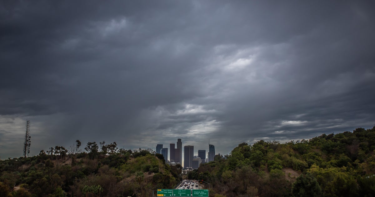 Southern California's Halloween weekend seeing greater potential for rain
October 26, 2026 / 7:48 AM PDT / CBS LA Confidence is growing that Southern California's Halloween weekend will be wet, although it's unclear just how wet as of Monday. According to the National Weather Service, there's…
-
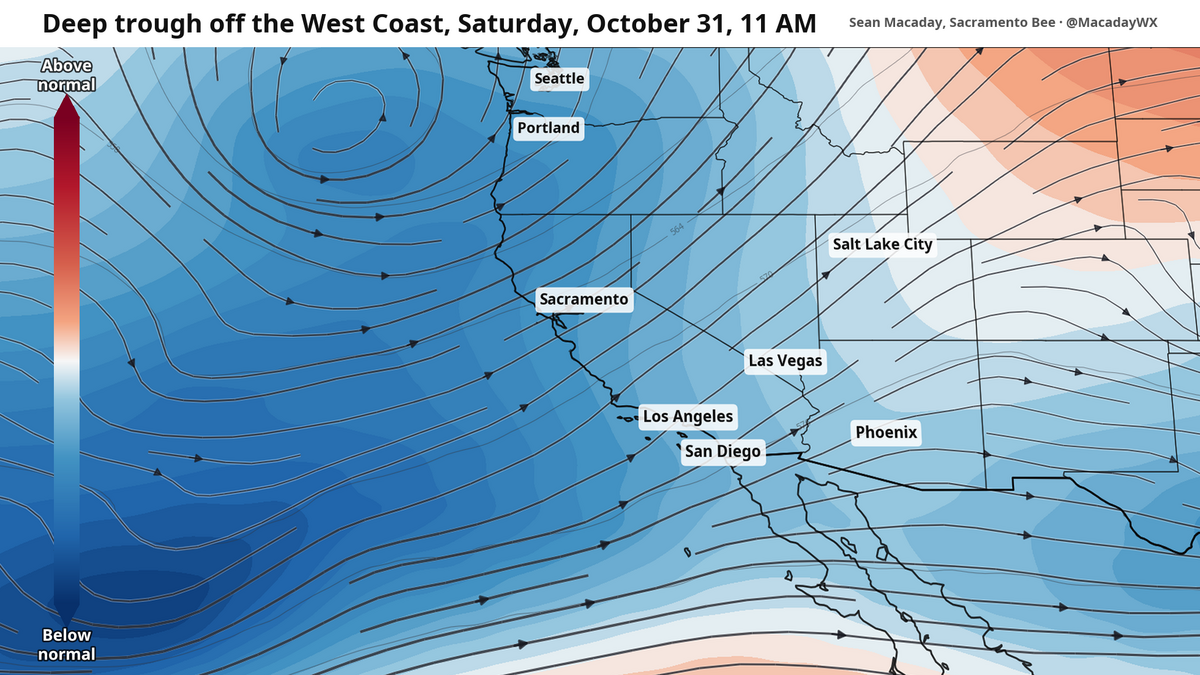 Will it rain on Halloween? What to expect as temps cool across California this week
Temperatures were spot-on average across California this past weekend, but cooler air will arrive this week and create a window for rain as Halloween nears. Mountain temps will remain cool in the 40s and 50s, with more…
-
 Rain on Halloween? L.A. could have its first wet Halloween in a decade
The reprieve from rain is expected to last just a few more days as forecasters warn of another storm system that could bring Los Angeles its first rainy Halloween since 2014. It’s still too far out to know the exact…
-
 Cyclone Arnab may intensify into very severe storm by Wednesday
Tuesday October 27, 2026 Cyclonic storm "Arnab" over the east-central and adjoining west-central Bay of Bengal is expected to intensify into a very severe cyclonic storm and cross the Andhra Pradesh coast by Wednesday…
-
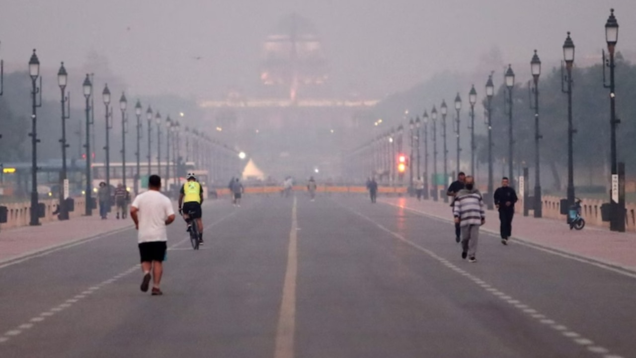 Delhi weather update: National capital records lowest min temp of month with ‘moderate’ air quality
According to the Central Pollution Control Board (CPCB), an AQI between 0 and 50 is classified as good, 51 and 100 as satisfactory, 101 and 200 as moderate, 201 and 300 as poor, 301 and 400 as very poor, and 401 and 500…
-
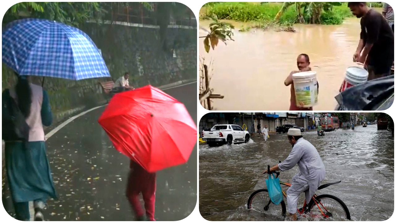 Weather Tomorrow October 27: 10 states on heavy rain alert, IMD issues red alert for Andhra as Cyclone Arnab approaches – Check forecast here
Delhi and adjoining National Capital Region (NCR) will remain unaffected from the impact of Cyclone Arnab on Tuesday, with the weather is expected to remain mostly dry. Showers are expected in the region later in the…
-
 Cyclone Arnab: Andhra Pradesh on high alert, IMD issues highest warning as cyclone intensifies over Bay of Bengal, landfall tomorrow
The IMD has issued a red alert for extremely heavy rainfall on Wednesday in several parts of the state, including Visakhapatnam, Alluri Sitharama Raju, Anakapalli, Kakinada, Konaseema, East and West Godavari, Eluru…
-
 How daylight saving time changes affect your circadian rhythm and what you can do about it
The stress of switching to daylight saving time is more than just mental. Science shows it takes a physical toll as well. An extra hour of sleep is on the way for most Americans, though the “fall back” to standard time…
-
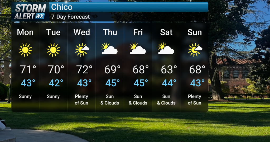 Bright, cooler early week; gusty winds for some
Breezy to gusty onshore winds are expected tonight, particularly over the higher elevations of the southern Cascades and northern Sierra, where wind gusts could reach 30 to 50 mph. Light showers are possible over the…
-
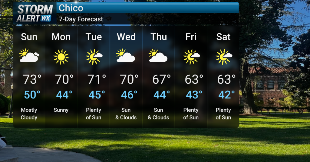 Gradual cool down into next week
Tonight, clear skies are expected across Northern California following recent showery and cloudy conditions. A low chance of fog development is possible overnight in the North and Central Valley. A low chance of fog…
Air quality
Air quality is satisfactory, and air pollution poses little or no risk.
Mojave, CA reporting area · 1 hr ago. Data from AirNow (EPA and its state, local and tribal partners); preliminary and subject to change.
Sun & moon
Nearby
- Lancaster 50 km
- Rosamond 33 km
- Tehachapi 42 km
- Lake Los Angeles 59 km
- Quartz Hill 57 km
- Golden Hills 46 km
- Bear Valley Springs 59 km
- Mojave 19 km
- Stallion Springs 60 km
- Boron 34 km
- Edwards Air Force Base 24 km
Forecasters' discussion
From the National Weather Service office in HNX, issued 2 hrs ago
Key Messages
1. Dry conditions continue for the next several days with near average temperatures today before temperatures cooldown to below average.
2. A disturbance dropping southeast from near Alaska will bring the next chance for precipitation in our area by this coming weekend (low confidence).
Discussion
Another pleasant day across Central California as near seasonal normal conditions were felt under sunny skies. A storm pushing across the Pacific Northwest brought cooler temperatures and an increase in winds as precipitation stayed well to the north. Along with a near zero chance of precipitation across Central California in the next 24 to 48 hours, temperatures sand winds have seen a change. At this point, the Probability of Exceedance (PoE) of reaching 75 degrees is now below 10 percent (outside the Mojave Desert) going forward and into the weekend. In addition, the PoE of reaching 70 degrees falls below 70 percent by Wednesday with sporadic higher PoE values on Thursday and Friday. Otherwise, temperatures expected to remain at below normal values through the period.
Lingering moisture, while very limited, will continue to produce mist and haze across the San Joaquin Valley this week. PoE of visibility dropping to below 3 miles will only reach less than 10 percent as fog remains unlikely until the next intrusion of significant moisture.
Looking toward the extended periods, ensemble model analysis still showing a strong consensus toward a robust storm developing off Pacific Northwest Coast on Saturday. Confidence is high that Central California will receive another round of precipitation, with the expected onset late Saturday into early Sunday Morning. Will still expect the heavier precipitation progressing through Central California later in the day on Sunday.
While confidence in receiving precipitation is high, there remains model variability regarding exact accumulation totals (spread ranges from zero to higher totals). Ensemble model upper-air analysis is now indicating a split flow pattern with one piece of energy hitting the Pacific Northwest and the second aiming for San Diego/Baja California. Enough energy is expected to move across Central California as 48 hour Probability of Precipitation (PoP) of receiving a half of an inch (0.50) from late Saturday through early Monday sits at 30-40 percent across the Sierra Nevada. Therefore, precipitation at the 50th percentile will be a sure bet this weekend. The worst case scenario at the 90th percentile shows Central California receiving up to 2 inches of rain/snow (water) this weekend. We will continue to evaluate the potential for heavy (excessive rainfall) precipitation as the forecast makes adjustments from the extended period toward the short term.
Aviation
A reduction in visibility remains possible over KMCE leading to potentially IFR of LIFR conditions from late tonight through mid-morning tomorrow. Otherwise, VFR conditions will prevail for the next 24 hours.
Air Quality Issues
None.
Forecasts, observations and alerts in the United States come from the National Weather Service (NOAA); radar from NOAA's Multi-Radar Multi-Sensor system; satellite imagery from NASA's Global Imagery Browse Services (GIBS) and NOAA's GOES satellites; the map from the U.S. Geological Survey's National Map; air quality from AirNow (EPA and its partners); hurricane information from the National Hurricane Center; climate normals and records from NOAA's Regional Climate Centers (ACIS). Forecasts outside the United States and the UV index: MET Norway (CC BY 4.0); observations outside the U.S.: airport reports via NOAA's Aviation Weather Center. Place names: GeoNames (CC BY 4.0). Data are copied on a schedule and may lag the sources; for warnings that affect your safety, follow your local National Weather Service office and emergency officials. Weather news is drawn from the 4Conservative index and reflects what the press published. Terms of use. How to use Weather