Install
Boyes Hot Springs, CA Weather
Current conditions
Observed at Novato / Gnoss Field · 1 hr ago
Forecast
10-day-
Tonight
Patchy fog after 5am. Mostly clear. Low around 42, with temperatures rising to around 45 overnight. Northwest wind around 5 mph.
-
Tuesday
Sunny. High near 68, with temperatures falling to around 66 in the afternoon. West wind around 5 mph.
-
Tuesday Night
Patchy fog between 3am and 4am. Mostly clear, with a low around 41. Northwest wind around 1 mph.
National Weather Service forecast updated 2 hrs ago.
Hourly
Hourly forecast- Now50°
- Tue12 AM49°
- 1 AM49°
- 2 AM47°
- 3 AM46°
- 4 AM46°
- 5 AM45°
- 6 AM45°
- 7 AM44°
- 8 AM43°
- 9 AM49°
- 10 AM55°
- 11 AM59°
- 12 PM63°
- 1 PM65°
- 2 PM67°
- 3 PM67°
- 4 PM67°
- 5 PM66°
- 6 PM61°
- 7 PM56°
- 8 PM53°
- 9 PM52°
- 10 PM51°
10-day forecast
Details- TonightOct 26Mostly Clear then Patchy Fog42°
- TueOct 27Sunny41°68°
- WedOct 28Patchy Fog then Sunny42°70°
- ThuOct 29Partly Sunny41°67°
- FriOct 30Mostly Sunny11%40°64°
- SatOct 31Slight Chance Light Rain19%40°62°
- SunNov 1Sunny41°66°
- MonNov 2Mostly Sunny then Slight Chance Light Rain23%66°
- TueNov 3Mostly clear48°81°
- WedNov 4Partly cloudy50°75°
Days after the National Weather Service's seven are MET Norway's outlook, a computer model with no forecaster's review.
Radar
Full mapWeather news in California
More weather news-
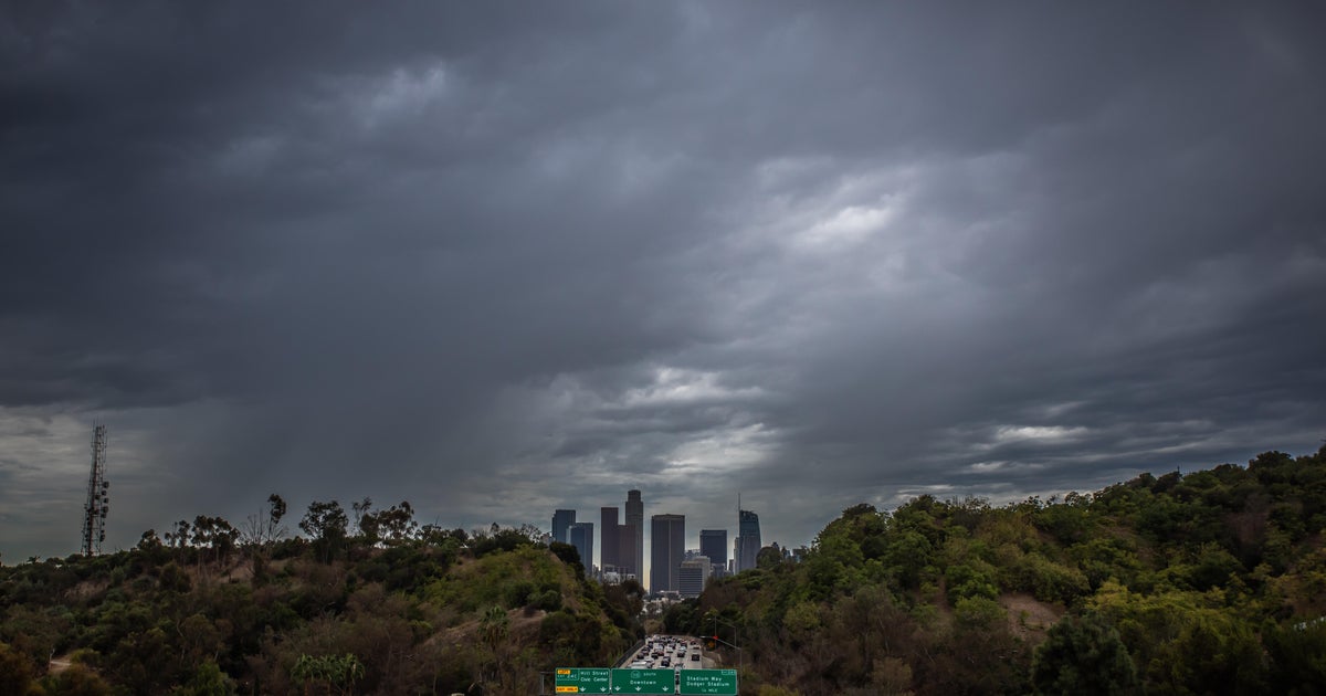 Southern California's Halloween weekend seeing greater potential for rain
October 26, 2026 / 7:48 AM PDT / CBS LA Confidence is growing that Southern California's Halloween weekend will be wet, although it's unclear just how wet as of Monday. According to the National Weather Service, there's…
-
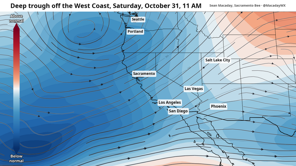 Will it rain on Halloween? What to expect as temps cool across California this week
Temperatures were spot-on average across California this past weekend, but cooler air will arrive this week and create a window for rain as Halloween nears. Mountain temps will remain cool in the 40s and 50s, with more…
-
 Rain on Halloween? L.A. could have its first wet Halloween in a decade
The reprieve from rain is expected to last just a few more days as forecasters warn of another storm system that could bring Los Angeles its first rainy Halloween since 2014. It’s still too far out to know the exact…
-
 Cyclone Arnab may intensify into very severe storm by Wednesday
Tuesday October 27, 2026 Cyclonic storm "Arnab" over the east-central and adjoining west-central Bay of Bengal is expected to intensify into a very severe cyclonic storm and cross the Andhra Pradesh coast by Wednesday…
-
 Delhi weather update: National capital records lowest min temp of month with ‘moderate’ air quality
According to the Central Pollution Control Board (CPCB), an AQI between 0 and 50 is classified as good, 51 and 100 as satisfactory, 101 and 200 as moderate, 201 and 300 as poor, 301 and 400 as very poor, and 401 and 500…
-
 Weather Tomorrow October 27: 10 states on heavy rain alert, IMD issues red alert for Andhra as Cyclone Arnab approaches – Check forecast here
Delhi and adjoining National Capital Region (NCR) will remain unaffected from the impact of Cyclone Arnab on Tuesday, with the weather is expected to remain mostly dry. Showers are expected in the region later in the…
-
 Cyclone Arnab: Andhra Pradesh on high alert, IMD issues highest warning as cyclone intensifies over Bay of Bengal, landfall tomorrow
The IMD has issued a red alert for extremely heavy rainfall on Wednesday in several parts of the state, including Visakhapatnam, Alluri Sitharama Raju, Anakapalli, Kakinada, Konaseema, East and West Godavari, Eluru…
-
 How daylight saving time changes affect your circadian rhythm and what you can do about it
The stress of switching to daylight saving time is more than just mental. Science shows it takes a physical toll as well. An extra hour of sleep is on the way for most Americans, though the “fall back” to standard time…
-
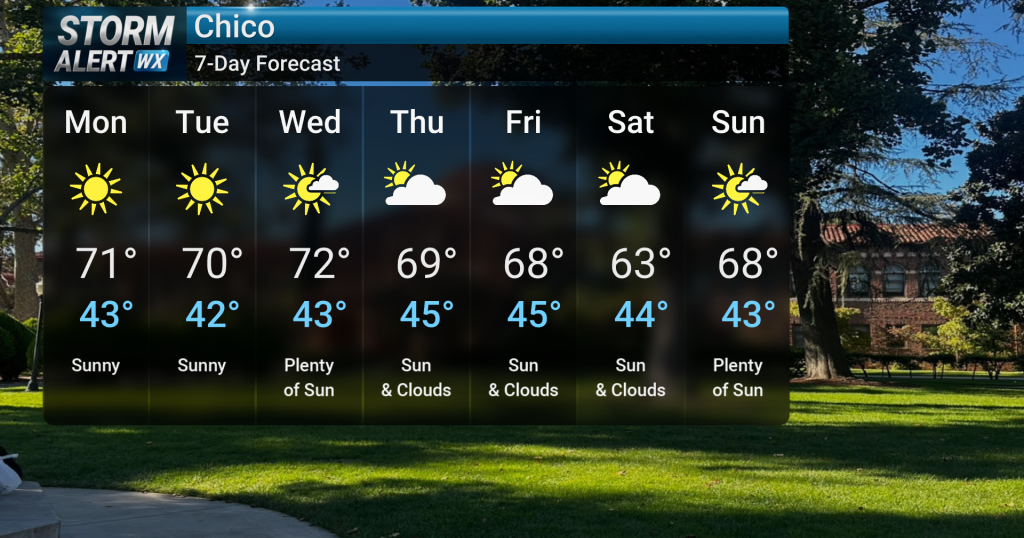 Bright, cooler early week; gusty winds for some
Breezy to gusty onshore winds are expected tonight, particularly over the higher elevations of the southern Cascades and northern Sierra, where wind gusts could reach 30 to 50 mph. Light showers are possible over the…
-
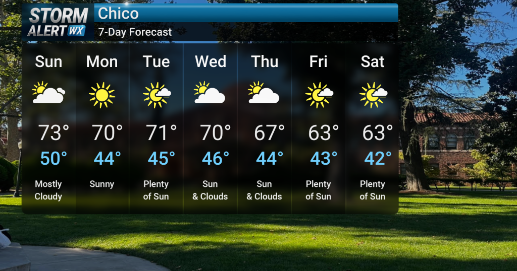 Gradual cool down into next week
Tonight, clear skies are expected across Northern California following recent showery and cloudy conditions. A low chance of fog development is possible overnight in the North and Central Valley. A low chance of fog…
Air quality
Air quality is satisfactory, and air pollution poses little or no risk.
Forecast
- MonGood (36)
- TueGood (36)
- WedGood
Napa, CA reporting area · 1 hr ago. Data from AirNow (EPA and its state, local and tribal partners); preliminary and subject to change.
Sun & moon
Almanac
MonthlyPetaluma Airport, records since 1893. Normals 1991–2020. Data from NOAA's Regional Climate Centers (ACIS).
Nearby
- Oakland 60 km
- Santa Rosa 25 km
- Concord 54 km
- Vallejo 31 km
- Berkeley 52 km
- Fairfield 39 km
- Richmond 44 km
- Vacaville 43 km
- Napa 17 km
- Walnut Creek 58 km
- Petaluma 16 km
- San Rafael 38 km
Forecasters' discussion
From the National Weather Service office in MTR, issued 1 hr ago
Key Messages
Updated at 226 PM PDT Mon Oct 26 2026
- Coastal flooding at high tide by Bayshore and Pacific Coast locations through the week. Worst flooding along bayshore Marin County.
- Seasonally cool conditions this week
- Light rain possible Friday into the weekend
Short Term
Issued at 226 PM PDT Mon Oct 26 2026 (This evening through Tuesday night)
Seasonal to seasonally cool temperatures continue through the upcoming week as upper level troughing lingers over the West Coast. Overnight temperatures will also be on the cooler side with morning lows dropping into the 40s to upper 30s across the region. In the Short Term, expect more classic fall weather to continue with gustier onshore winds in the afternoon/evening. Stronger winds peak between 25 to 30 mph along the coast and across mountain gaps/passes (Altamont Pass, Salinas Valley, San Bruno Gap - to name a few). Winds ease overnight but expect another round of gusty onshore winds during the afternoon/evening on Tuesday.
The main hazard Monday/Tuesday continues to be the threat for coastal flooding along the San Francisco/San Pablo Bay shorelines and along the Pacific Coast. This coastal flood event is brought to you by a combination of the full moon (10/26) and thermal expansion due to warmer ocean temperatures on top of our typical tidal pattern. High tides peak today and tomorrow with up to 2.1 ft of inundation above ground level expected. The strongest impacts will be felt along low-lying portions of bayshore Marin County where numerous flooding reports have already been received. If you live in a low-lying area prone to flooding along the bay or Pacific Coast, make sure to have all flood preparations in place before high tide tomorrow (12:15 PM). If you encounter a flooded road, turn around don't drown. You don't know how deep flood waters are, how fast a current may be, or if the road is structurally sound beneath the water. Coastal flooding is set to peak on Tuesday with tidal heights dropping throughout the long term (for more in depth discussion see the Long Term forecast).
Long Term
Issued at 226 PM PDT Mon Oct 26 2026 (Wednesday through next Sunday)
Troughing generally persists through the upcoming week with a deeper upper level low arriving Friday into the weekend. Seasonal to seasonally cool temperatures continue through the extended forecast but expect temperatures to drop another couple of degrees Friday into the weekend. Diurnally gusty winds continue for favored locations this week with stronger gusts during the afternoon/evening along the coast and across mountain gaps/passes. High temperatures Wednesday and Thursday will be in the mid to upper 60s across the interior while coastal areas linger in the upper 50s to low 60s. Friday we see the promised further cooldown with interior lows dropping into the low 60s and most coastal areas lingering in the mid to upper 50s. Cooler temperatures remain in place through the end of the weekend. Expect overnight cloud cover to return by midweek with cloudy skies becoming more predominant Thursday into the weekend as the deeper trough arrives. Light rain remains possible Friday into the weekend but, fortunately, the bulk of the rain has shifted southwards towards Southern California. That's not to say we will be completely dry this weekend. Expect drizzly conditions across the Bay Area Saturday into Sunday with light rain possible overnight heading into Sunday. Light rain is expected across the Central Coast but totals should be fairly light across urban areas (around a tenth of an inch). For the higher elevations of the Santa Lucia Range and the Gabilan Range, light rain amounting to a couple tenths of an inch is possible. All together, the classic fall weather should lend itself a ghostly ambiance for anyone partaking in any haunted/spooktacular activities this weekend.
Coastal flooding concerns continue across Bayshore locations within the San Pablo, San Francisco, and Monterey Bays and the Pacific coastal regions through at least Thursday. While tidal heights peak Tuesday, heights will remain elevated through late week. At the San Francisco tidal gauge, high tide is expected to be 1.9 ft above normal (7.7 ft MLLW) at 12:56 PM Wednesday 10/28, 1.7 ft above normal (7.5 ft MLLW) at 01:43 PM Thursday 10/29, 1.4 ft above normal (7.2 ft MLLW) at 2:39 PM on Friday 10/30, and 1.0 feet above normal (6.8 ft MLLW) at 3:44 PM on Saturday 10/31, including around 1.0 ft of surge residual partially attributed to impacts from El Nino. Currently, tidal heights continue to run above the forecast with the forecast heights for Monday/Tuesday being increased. If this trend continues into mid to late week we may see coastal flooding concerns extended Friday into the weekend (necessitating the extension of the product). Expect the worst flooding to continue in low-lying bayshore locations of Marin County.
Aviation
(06Z TAFS) Issued at 957 PM PDT Mon Oct 26 2026
3.2 mb ACV-SFO and 1.5 mb SFO-SAC pressure gradients support northwesterly winds, dry conditions and a few areas of low clouds /VFR-MVFR/. Cool air advection is occurring from the surface up through 850 mb (~ 5,000 feet); 925 mb and 850 mb temperatures were in the 25th percentile for late October on the evening Oakland upper air sounding. In contrast to this, sea surface temperatures in the 60s are much above October normals by 5.5F to almost 9F. Monterey bay buoy sea surface temp 67F to 68F earlier today is the warmest this late in the season for the period of record (NDBC data for Monterey buoy 1987-2023).
Back to the 00z Oakland sounding, there is a weak temperature inversion based at 5000 feet with a fair amount of vertical mixing from the surface to this altitude that'll carry over tonight over the coastal waters. Current surface weather observations are mainly VFR-MVFR. At the air/sea interface heat flow and water vapor are upward directed, with upslope winds and radiative cooling expect ongoing areas of low clouds /VFR-MVFR/ tonight and Tuesday morning. Over land where surface winds become light and there is no marine influence and temperatures cool, a few patches of valley fog /IFR- LIFR/ may develop. Otherwise it'll be VFR Tuesday.
Vicinity of SFO...VFR. West wind 10 to 12 knots tonight and Tuesday morning. West wind increasing to 15 to 25 knots Tuesday afternoon to mid evening.
SFO Bridge Approach...Similar to SFO.
Monterey Bay Terminals...Areas low clouds /VFR-MVFR/ tonight and Tuesday morning. Winds light and variable tonight and Tuesday morning. West to northwest winds 10 to 15 knots Tuesday afternoon and early evening.
Forecasts, observations and alerts in the United States come from the National Weather Service (NOAA); radar from NOAA's Multi-Radar Multi-Sensor system; satellite imagery from NASA's Global Imagery Browse Services (GIBS) and NOAA's GOES satellites; the map from the U.S. Geological Survey's National Map; air quality from AirNow (EPA and its partners); hurricane information from the National Hurricane Center; climate normals and records from NOAA's Regional Climate Centers (ACIS). Forecasts outside the United States and the UV index: MET Norway (CC BY 4.0); observations outside the U.S.: airport reports via NOAA's Aviation Weather Center. Place names: GeoNames (CC BY 4.0). Data are copied on a schedule and may lag the sources; for warnings that affect your safety, follow your local National Weather Service office and emergency officials. Weather news is drawn from the 4Conservative index and reflects what the press published. Terms of use. How to use Weather