Install
Pinetop-Lakeside, AZ Weather
Current conditions
Forecast for this hour (no station report in the last two hours)
Forecast
10-day-
Monday
Sunny, with a high near 59. Northeast wind around 7 mph.
-
Monday Night
Mostly clear, with a low around 38. East wind around 6 mph.
-
Tuesday
Sunny, with a high near 61. South wind 6 to 9 mph, with gusts as high as 16 mph.
National Weather Service forecast updated 5 days ago.
Hourly
Hourly forecast- Now59°
- 2 PM59°
- 3 PM58°
- 4 PM57°
- 5 PM55°
- 6 PM52°
- 7 PM49°
- 8 PM46°
- 9 PM45°
- 10 PM44°
- 11 PM43°
- Tue12 AM42°
- 1 AM41°
- 2 AM40°
- 3 AM39°
- 4 AM39°
- 5 AM40°
- 6 AM41°
- 7 AM43°
- 8 AM46°
- 9 AM50°
- 10 AM54°
- 11 AM58°
- 12 PM60°
Daily forecast
Details- WedOct 21Showers And Thunderstorms91%51°67°
- ThuOct 22Showers And Thunderstorms96%47°61°
- FriOct 23Slight Chance Showers And Thunderstorms20%41°60°
- SatOct 24Slight Chance Showers And Thunderstorms17%36°58°
- SunOct 25Sunny13%37°58°
- TodayOct 26Sunny38°59°
- TueOct 27Sunny39°61°
- WedOct 28Partly cloudy34°64°
- ThuOct 29Cloudy33°63°
Days after the National Weather Service's seven are MET Norway's outlook, a computer model with no forecaster's review.
Radar
Full mapWeather news in Arizona
More weather news-
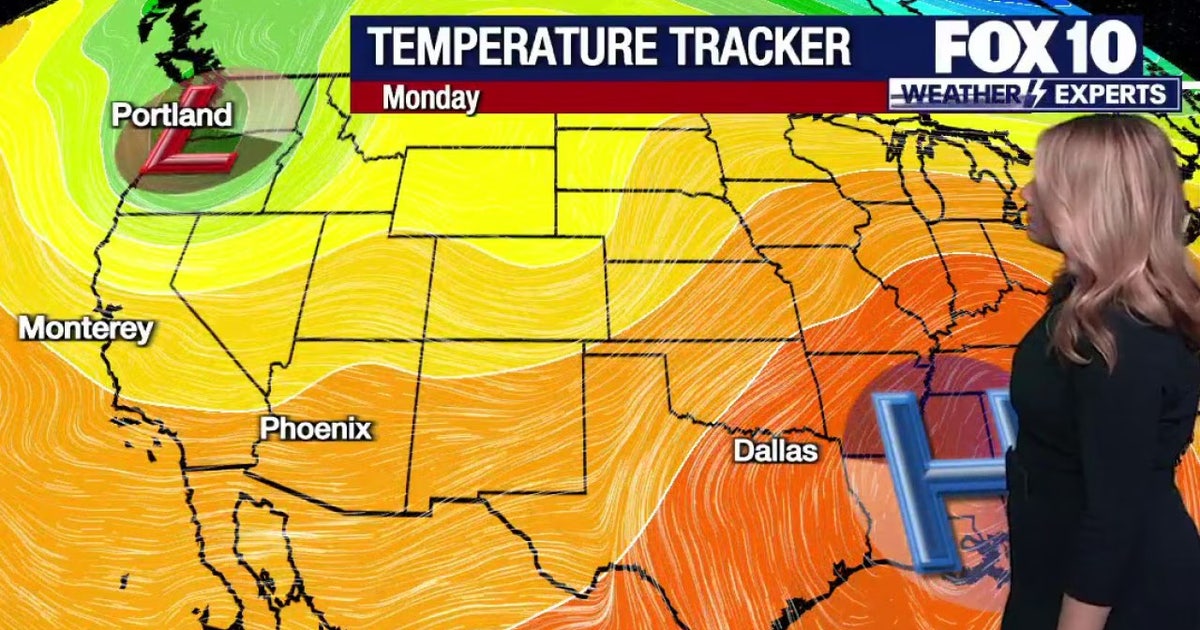 Arizona weather forecast: Warm week ahead before rain, storms return on Friday
Phoenix stays warm in the 80s through Thursday before widespread rain and storms arrive on Friday. PHOENIX - A few warm and dry days are expected around Arizona before the next round of changes arrives in the forecast…
-
 Tracking drier weather on tap for Arizona this week
Over the work week, dry conditions will continue as a ridge of high pressure builds into our state. Paul Horton has your First Alert forecast. Tracking drier weather on tap for Arizona this week Taking a sweet trip down…
-
 Tornadoes confirmed in Arizona
KOLD Tornadoes confirmed in Arizona Unusually high severe weather risk continues across Arizona through Thursday Severe storms and flash flooding likely across Arizona Wednesday and Thursday
-
 Warming trend builds before rain chances move back into Arizona
PHOENIX (AZFamily) — After an active and extreme weather week, look for a beautiful weekend in the Phoenix area with highs below average. Grab a light jacket this morning. You can expect lows in the 50s and 60s across…
-
 Dry start to week expected to give way to rain, mountain snow, cooler weather in Southern Nevada
Monday, Oct. 26, 2026 | 11:25 a.m. Dry weather is expected to hold across Southern Nevada through midweek before a storm system late in the week could bring rain, mountain snow and cooler temperatures into the weekend…
-
 Fresh warnings issued as strong winds and heavy rain forecast after two storms
Fresh weather warnings have been issued as strong winds and heavy rain are on the way after two storms battered Britain. Yellow wind warnings will be in place for western areas of the UK on Monday and Tuesday as gales…
-
 Scottish bridge closures and warnings over high winds from Storm Boelo
Bridges across Scotland are facing closures and warnings over high wind speeds and severe weather from Storm Boelo. The Queensferry Crossing, M90 and the Clackmannanshire Bridge A876 have been closed to high sided…
-
 A touchdown forecast for Arizona’s Homecoming Weekend
TUCSON, Ariz. (13 News) - Cooling off and drying out here in Arizona. Dry forecast with cooler than normal temps through the weekend. In Tucson, expect upper 70s tomorrow before right at 80° on Sunday. Sunshine will…
-
 Amber warning in force as Storm Boelo brings 80mph gusts to parts of UK
Amber weather warnings have come into force as the worst of Storm Boelo hits parts of the UK, hours after the first named storm of the season battered the country. The Met Office said winds peaked overnight with gusts…
-
 Has Manchester United vs Bournemouth been postponed? Storm Boelo weather latest as travel warning issued
Manchester United’s Premier League game against Bournemouth is currently set to go ahead despite the ongoing threat of Storm Boelo, but fans have been warned that travel times may take longer. A yellow weather warning…
Sun & moon
Almanac
MonthlyShow Low Airport, records since 1984. Normals 1991–2020. Data from NOAA's Regional Climate Centers (ACIS).
Nearby
- Show Low 14 km
- Snowflake 43 km
- Taylor 38 km
- Whiteriver 34 km
- Lake of the Woods 4 km
- Linden 24 km
- White Mountain Lake 23 km
Forecasters' discussion
From the National Weather Service office in FGZ, issued 3 hrs ago
Synopsis
Gradually warmer and dry conditions are expected through at least the middle of this week. Cooler, more unsettled weather looks to return by the weekend.
Discussion
Today through Thursday...Drier air sets in today across northern Arizona behind the departing low. Zonal flow sets in across much of Arizona through at least the middle of this week, keeping dry conditions and gradually warming temperatures in store for the region. Winds look to mainly be light and variable to start, gradually tending south/southwestward through the week.
Friday onward...A deepening trough over the northwest, and a strong sub-tropical jet over the Pacific will help increase moisture advection into Arizona by the end of the week. Precipitation looks to being late Friday and then continue into Sunday. As the trough begins to dig and the jet becomes further enhanced, deeper moisture looks to move into the region on Sunday.
Uncertainty remains in the exact setup going into the end of the week, thus confidence in any specific details remains low. As of now the latest operational ECMWF seems to favor a wetter solution with a stronger sub-tropical jet, while the GFS favors a weaker and faster jet and therefore lighter QPF amounts. Looking at the ensemble guidance, most of the EPS and CMCE members favor the wetter ECMWF solution while the GEFS members mostly lean towards the drier GFS solution. This leans towards the wetter solution being more likely, however with some model disagreement confidence will remain low. Nevertheless, a return of cooler and more unsettled conditions look to set in by the end of the week.
Aviation
Monday 26/18Z through Tuesday 27/18Z...VFR conditions with VRB winds 5-10 kts.
OUTLOOK...Tuesday 27/18Z through Thursday 29/18Z...VFR conditions. Winds S/SW 5-15 kts each day, becoming light and VRB overnight.
Fire Weather
Today and Tuesday...Dry conditions and gradual warming. Light and variable winds today, becoming south/southwest 5- 15 mph on Tuesday.
Wednesday through Friday...Continued warming temperatures and dry conditions, before chances for showers and thunderstorms return late Thursday and Friday. South/southwest winds 5-15 mph on Wednesday, increasing to 10-20 mph on Thursday and Friday.
Forecasts, observations and alerts in the United States come from the National Weather Service (NOAA); radar from NOAA's Multi-Radar Multi-Sensor system; satellite imagery from NASA's Global Imagery Browse Services (GIBS) and NOAA's GOES satellites; the map from the U.S. Geological Survey's National Map; air quality from AirNow (EPA and its partners); hurricane information from the National Hurricane Center; climate normals and records from NOAA's Regional Climate Centers (ACIS). Forecasts outside the United States and the UV index: MET Norway (CC BY 4.0); observations outside the U.S.: airport reports via NOAA's Aviation Weather Center. Place names: GeoNames (CC BY 4.0). Data are copied on a schedule and may lag the sources; for warnings that affect your safety, follow your local National Weather Service office and emergency officials. Weather news is drawn from the 4Conservative index and reflects what the press published. Terms of use. How to use Weather