Install
Pottsville, AR Weather
Current conditions
Forecast for this hour (no station report in the last two hours)
Forecast
10-day-
This Afternoon
Sunny, with a high near 83. East southeast wind around 5 mph.
-
Tonight
Partly cloudy, with a low around 52. East wind 0 to 5 mph.
-
Sunday
Mostly sunny, with a high near 80. East southeast wind 0 to 5 mph.
National Weather Service forecast updated 4 hrs ago.
Hourly
Hourly forecast- Now83°
- 5 PM81°
- 6 PM78°
- 7 PM74°
- 8 PM67°
- 9 PM65°
- 10 PM63°
- 11 PM62°
- Sun12 AM61°
- 1 AM59°
- 2 AM58°
- 3 AM57°
- 4 AM55°
- 5 AM54°
- 6 AM52°
- 7 AM52°
- 8 AM52°
- 9 AM57°
- 10 AM64°
- 11 AM69°
- 12 PM73°
- 1 PM77°
- 2 PM78°
- 3 PM79°
10-day forecast
Details- TodayOct 24Sunny52°83°
- SunOct 25Mostly Sunny52°80°
- MonOct 26Mostly Sunny52°79°
- TueOct 27Partly Sunny51°78°
- WedOct 28Sunny53°82°
- ThuOct 29Sunny54°83°
- FriOct 30Partly Sunny18%55°80°
- SatOct 31Rain0.18 in65°76°
- SunNov 1Light rain0.06 in67°79°
- MonNov 2Cloudy69°85°
Days after the National Weather Service's seven are MET Norway's outlook, a computer model with no forecaster's review.
Radar
Full mapWeather news near Pottsville
More weather news-
 69 News at 6:00 - Severe thunderstorm watches and GIANT disruption
Mostly cloudy with scattered thunderstorms (some with damaging wind gust potential) through early evening, then brisk and drier as it turns much cooler the rest of the night. . headline: Severe Thunderstorm Warning…
-
 Presidential adviser says Ukraine is in talks to lift speed limit on military satellite network
Mostly cloudy with scattered thunderstorms (some with damaging wind gust potential) through early evening, then brisk and drier as it turns much cooler the rest of the night. . Bulletin: SEVERE THUNDERSTORM WATCH 686…
-
 Community leaders say foiled Illinois mass shooting was result of surge in anti-Hindu hate online
Mostly cloudy with scattered thunderstorms (some with damaging wind gust potential) through early evening, then brisk and drier as it turns much cooler the rest of the night. . Bulletin: SEVERE THUNDERSTORM WATCH 686…
-
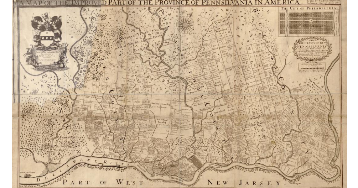 Early map of Pennsylvania from circa 1681
Mostly cloudy with some scattered evening showers; breezy and turning much cooler and less humid overnight. . Bulletin: SEVERE THUNDERSTORM WATCH 686 REMAINS VALID UNTIL 8 PM EDT THIS EVENING FOR THE FOLLOWING AREAS IN…
-
 Shapiro asks to intervene in PUC proceeding; consumer advocate office seeking to ensure data centers pay for some electric system costs
Mostly cloudy with scattered thunderstorms (some with damaging wind gust potential) through early evening, then brisk and drier as it turns much cooler the rest of the night. . Bulletin: SEVERE THUNDERSTORM WATCH 686…
-
 Drought threatens Arkansas duck season, AGFC warns
K8 News | Jonesboro, Arkansas Drought threatens Arkansas duck season, AGFC warns Valley View volleyball moves to 28-2, wins a share of the 5A East title AAA: Arkansas motorists see another drop at the pump A-State…
-
 Northeast Arkansas Weather Update for October 21
| Live Stream | kjnbtv.com kjnbtv.com Mostly clear with a high of 76° and a low of 50°. - Jonesboro Veterans Day Parade seeks participants for America's 250th anniversary - Delta Symphony Orchestra to perform Pirates…
-
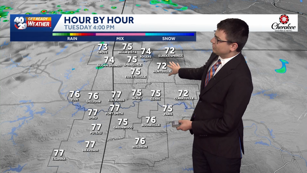 A few clouds and comfortably warm for Tuesday in Arkansas
Expect a few clouds across the region today. High temperatures will be pleasantly warm this afternoon, with highs in the mid 70s in Northwest Arkansas and the River Valley. High temperatures gradually warm up throughout…
-
 Arkansas Storm Team Forecast: Still no rain in sight
While temperatures will steadily return to the 80s this week in Arkansas, rain chances won’t return in this forecast. That means the wildfire danger persists. Tuesday, October 20, expect partly to mostly sunny skies…
-
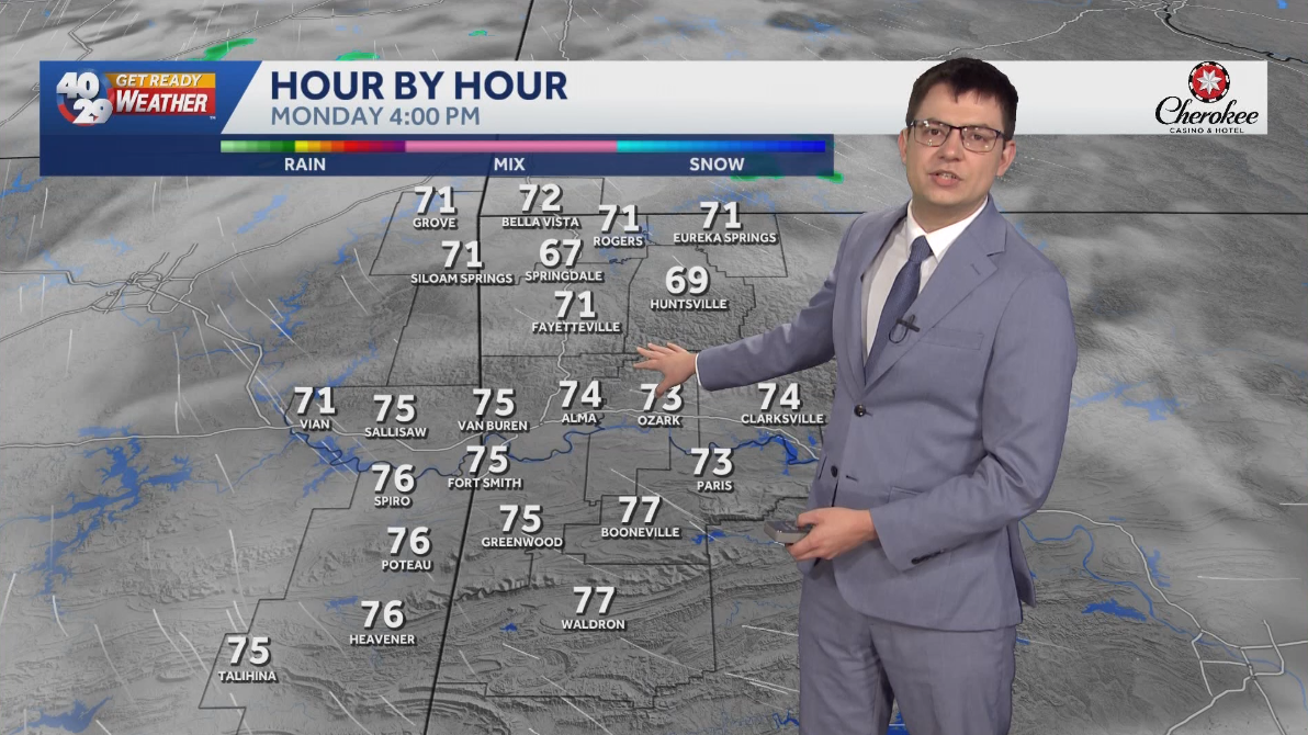 Seasonally warm to start the work week in Arkansas
Morning lows will remain in the 40s over the next few days. Afternoon highs will start to warm back into the 70s early in the work week. High temperatures will warm back into the 80s later in the week. Watch the…
Sun & moon
Almanac
MonthlyRussellville Area, records since 1882. Normals 1991–2020. Data from NOAA's Regional Climate Centers (ACIS).
Nearby
- Conway 58 km
- Russellville 8 km
- Clarksville 45 km
- Morrilton 30 km
- Dardanelle 10 km
- Atkins 10 km
- Danville 38 km
Forecasts, observations and alerts in the United States come from the National Weather Service (NOAA); radar from NOAA's Multi-Radar Multi-Sensor system; satellite imagery from NASA's Global Imagery Browse Services (GIBS) and NOAA's GOES satellites; the map from the U.S. Geological Survey's National Map; air quality from AirNow (EPA and its partners); hurricane information from the National Hurricane Center; climate normals and records from NOAA's Regional Climate Centers (ACIS). Forecasts outside the United States and the UV index: MET Norway (CC BY 4.0); observations outside the U.S.: airport reports via NOAA's Aviation Weather Center. Place names: GeoNames (CC BY 4.0). Data are copied on a schedule and may lag the sources; for warnings that affect your safety, follow your local National Weather Service office and emergency officials. Weather news is drawn from the 4Conservative index and reflects what the press published. Terms of use.