Install
Pea Ridge, AR Weather
Current conditions
Observed at Monticello, Monticello Municipal Airport/Ellis Field · 52 min ago
Forecast
10-day-
Sunday
Mostly sunny, with a high near 80. East southeast wind 0 to 10 mph.
-
Sunday Night
Partly cloudy, with a low around 53. East wind 0 to 5 mph.
-
Monday
Partly sunny, with a high near 77. East wind 0 to 5 mph.
National Weather Service forecast updated 2 days ago.
Hourly
Hourly forecast- Now78°
- 6 PM76°
- 7 PM72°
- 8 PM68°
- 9 PM65°
- 10 PM62°
- 11 PM61°
- Mon12 AM60°
- 1 AM59°
- 2 AM58°
- 3 AM56°
- 4 AM55°
- 5 AM54°
- 6 AM53°
- 7 AM54°
- 8 AM57°
- 9 AM62°
- 10 AM66°
- 11 AM70°
- 12 PM73°
- 1 PM75°
- 2 PM77°
- 3 PM77°
- 4 PM77°
10-day forecast
Details- TonightOct 22Clear52°
- FriOct 23Sunny53°84°
- SatOct 24Sunny53°83°
- TodayOct 25Mostly Sunny53°80°
- MonOct 26Partly Sunny51°77°
- TueOct 27Mostly Sunny52°78°
- WedOct 28Sunny51°80°
- ThuOct 29Sunny81°
- FriOct 30Partly cloudy59°83°
- SatOct 31Heavy rain1.30 in64°68°
Days after the National Weather Service's seven are MET Norway's outlook, a computer model with no forecaster's review.
Radar
Full mapWeather news in Arkansas
More weather news-
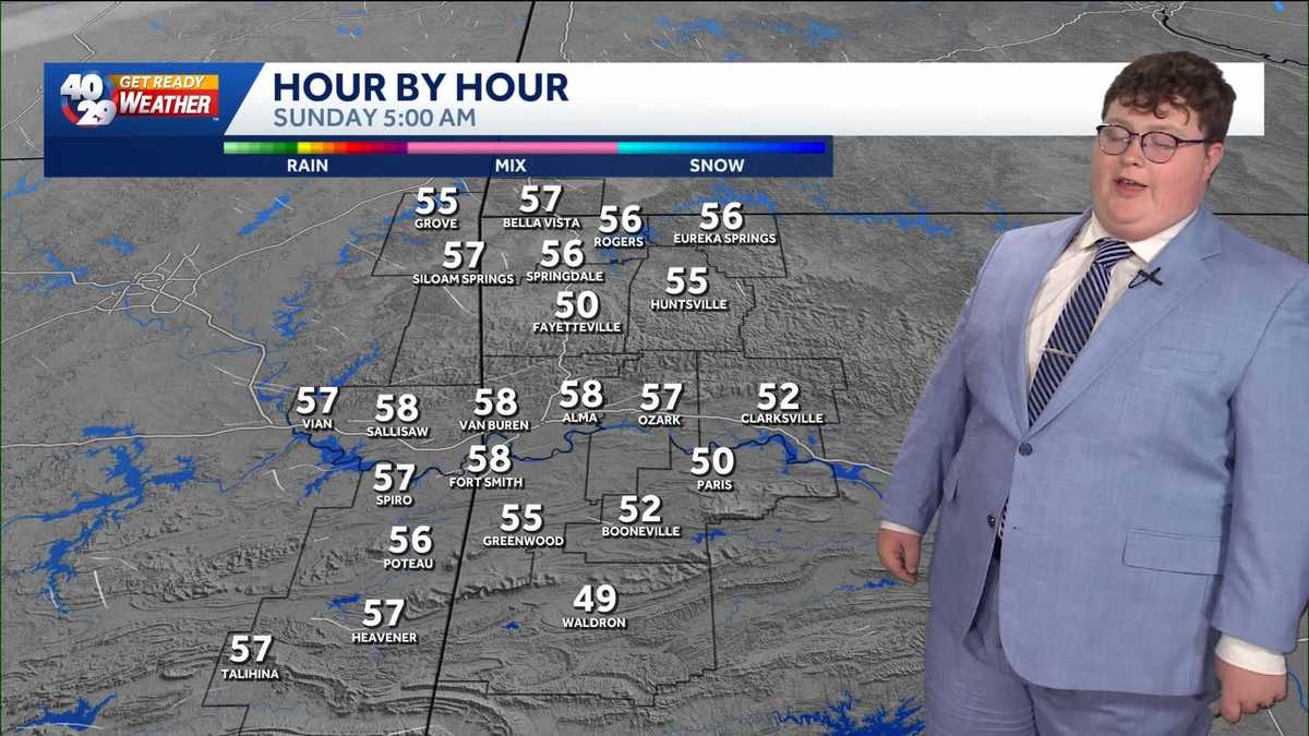 Ending the weekend off on a mild note in Arkansas
Overall, not many changes will be felt as we end off the weekend in Arkansas. Mild and dry conditions will prevail over the next few days. However, rain chances could return by Friday. Watch the videocast above to learn…
-
 Drought threatens Arkansas duck season, AGFC warns
K8 News | Jonesboro, Arkansas Drought threatens Arkansas duck season, AGFC warns Valley View volleyball moves to 28-2, wins a share of the 5A East title AAA: Arkansas motorists see another drop at the pump A-State…
-
 Northeast Arkansas Weather Update for October 21
| Live Stream | kjnbtv.com kjnbtv.com Mostly clear with a high of 76° and a low of 50°. - Jonesboro Veterans Day Parade seeks participants for America's 250th anniversary - Delta Symphony Orchestra to perform Pirates…
-
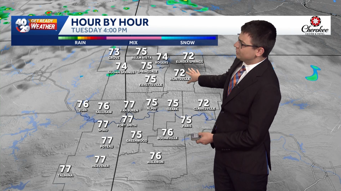 A few clouds and comfortably warm for Tuesday in Arkansas
Expect a few clouds across the region today. High temperatures will be pleasantly warm this afternoon, with highs in the mid 70s in Northwest Arkansas and the River Valley. High temperatures gradually warm up throughout…
-
 Arkansas Storm Team Forecast: Still no rain in sight
While temperatures will steadily return to the 80s this week in Arkansas, rain chances won’t return in this forecast. That means the wildfire danger persists. Tuesday, October 20, expect partly to mostly sunny skies…
Air quality
Air quality is satisfactory, and air pollution poses little or no risk.
Cleveland, MS reporting area · 1 hr ago. Data from AirNow (EPA and its state, local and tribal partners); preliminary and subject to change.
Sun & moon
Almanac
MonthlyRohwer 2 Nne, records since 1959. Normals 1991–2020. Data from NOAA's Regional Climate Centers (ACIS).
Nearby
Forecasters' discussion
From the National Weather Service office in LZK, issued 5 hrs ago
Key Messages
Issued at 100 AM CDT Sun Oct 25 2026
-Near-normal to above-normal temperatures will persist into next week.
-No appreciable rainfall is expected through the upcoming work week.
-Low afternoon relative humidity values and drying fuels will contribute to daily elevated fire danger concerns through the weekend.
-Low confidence exists for some rain chances to return Halloween weekend.
Discussion
Issued at 100 AM CDT Sun Oct 25 2026
Satellite early this morning shows some high level cloudiness over parts of western and northern Arkansas. Winds are light and variable with temperatures across the state mainly in the 50s to around 60s early this morning.
An analysis of 00z upper air H500 chart shows ridging over the central US with upper level troughing and a cut off low in the Desert southwest and troughing over the eastern seaboard. High pressure will remain in place across the state today with high temperatures statewide roughly running around 5 to 10 degrees above normal for late October.
Both deterministic and ensemble guidance early this morning shows ridging over the central US holding firm today. By tonight into early Monday, upper trough over the Desert southwest will lift northeast into the the southern/central Rockies then into the northern Plains by Tuesday. In response to the upper trough lifting northeast into the northern Plains, the ridge over the central US will shift eastward will begin to flatten out. On the heels of the aforementioned upper trough, another upper trough will move onshore into the Pacific Northwest Monday, then quickly into the Great Basin region.
As we head into Tuesday, the ridge will slide into the southeastern US allowing southwesterly flow and a warming trend to commence across the state from mid week through at the end of the work week. As we head into Halloween, guidance brings another upper trough into the Pacific Northwest by Friday. Models show the upper trough digging and strengthening as it moves into the Great Basin Region by Halloween. As the trough progresses eastward, impulses rotating around the base of the trough will move across the central Plains keeping the energy and best dynamics north and west of the state on Halloween through early next week.
This scenario would keep appreciable rain amounts confined to the northwest and northern parts of the state. A look at the 12z ECMWF 90th percentile ensemble 24hr QPF amounts of half to three quarters of an inch mainly over the western part of the state and lesser amounts elsewhere for next Saturday and Sunday. The 12z mean ensemble of the ECMWF is even less optimistic with amounts of a quarter of an inch or less for the aforementioned period. The 12z 90th percentile GFS ensemble shows a half inch or less over the eastern two-thirds of the state with amounts nearing three quarters of an inch over parts of western and northwest Arkansas for next Saturday and Sunday. The mean GFS ensemble shows around a quarter of an inch over the northern two-thirds of the state with lesser amounts elsewhere next Saturday and Sunday. As we get closer to the event, amounts, timing and placement will likely change and will continue to monitor as model solutions reaches a consensus.
Aviation
(18Z TAFS) Issued at 1233 PM CDT Sun Oct 25 2026
Expect VFR flight category to continue for all terminals for the entire duration of the forecast period from Sunday midday through Monday midday.
Preliminary Point Temps
Batesville AR 50 77 50 77 / 0 0 0 0 Camden AR 48 80 47 80 / 0 0 0 0 Harrison AR 51 76 52 75 / 0 0 0 0 Hot Springs AR 50 79 50 78 / 0 0 0 0 Little Rock AR 52 79 53 79 / 0 0 0 0 Monticello AR 51 78 50 79 / 0 0 0 0 Mount Ida AR 47 79 47 78 / 0 0 0 0 Mountain Home AR 51 75 51 73 / 0 0 0 0 Newport AR 52 78 51 77 / 0 0 0 0 Pine Bluff AR 49 79 49 79 / 0 0 0 0 Russellville AR 50 78 50 77 / 0 0 0 0 Searcy AR 49 78 49 78 / 0 0 0 0 Stuttgart AR 52 79 51 79 / 0 0 0 0
Forecasts, observations and alerts in the United States come from the National Weather Service (NOAA); radar from NOAA's Multi-Radar Multi-Sensor system; satellite imagery from NASA's Global Imagery Browse Services (GIBS) and NOAA's GOES satellites; the map from the U.S. Geological Survey's National Map; air quality from AirNow (EPA and its partners); hurricane information from the National Hurricane Center; climate normals and records from NOAA's Regional Climate Centers (ACIS). Forecasts outside the United States and the UV index: MET Norway (CC BY 4.0); observations outside the U.S.: airport reports via NOAA's Aviation Weather Center. Place names: GeoNames (CC BY 4.0). Data are copied on a schedule and may lag the sources; for warnings that affect your safety, follow your local National Weather Service office and emergency officials. Weather news is drawn from the 4Conservative index and reflects what the press published. Terms of use. How to use Weather