Install
Southside, AL Weather
Current conditions
Observed at Talladega Municipal Airport · 1 hr ago
Forecast
10-day-
Tonight
Clear, with a low around 44. Northeast wind around 5 mph.
-
Friday
Sunny, with a high near 78. East wind around 5 mph.
-
Friday Night
Clear, with a low around 42. East wind 0 to 5 mph.
National Weather Service forecast updated 16 hrs ago.
Hourly
Hourly forecast- Now54°
- 11 PM52°
- Fri12 AM52°
- 1 AM50°
- 2 AM49°
- 3 AM48°
- 4 AM46°
- 5 AM45°
- 6 AM45°
- 7 AM44°
- 8 AM47°
- 9 AM54°
- 10 AM63°
- 11 AM68°
- 12 PM71°
- 1 PM75°
- 2 PM76°
- 3 PM77°
- 4 PM78°
- 5 PM75°
- 6 PM70°
- 7 PM65°
- 8 PM56°
- 9 PM54°
10-day forecast
Details- TodayOct 22Sunny44°80°
- FriOct 23Sunny42°78°
- SatOct 24Sunny42°75°
- SunOct 25Sunny42°73°
- MonOct 26Sunny42°74°
- TueOct 27Mostly Sunny44°76°
- WedOct 28Mostly Sunny45°77°
- ThuOct 29Mostly sunny52°75°
- FriOct 30Partly cloudy50°71°
- SatOct 31Cloudy46°74°
Days after the National Weather Service's seven are MET Norway's outlook, a computer model with no forecaster's review.
Radar
Full mapWeather news near Southside
More weather news-
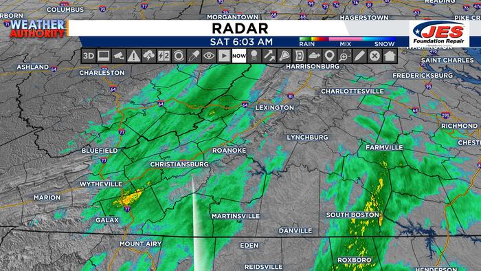 Rainy Saturday Start
Today we are starting off with very dreary weather and widespread rainfall! If you are headed out and about this morning, be sure to grab the umbrella for the morning hours! This much-needed rainfall has been brought in…
- First Alert: Drastic drop in temperatures this weekend
Another cold front will push through later today, sparking the chance for some isolated to scattered showers into early Saturday morning. As the cold front pushes through the wind will increase. Friday night football…
-
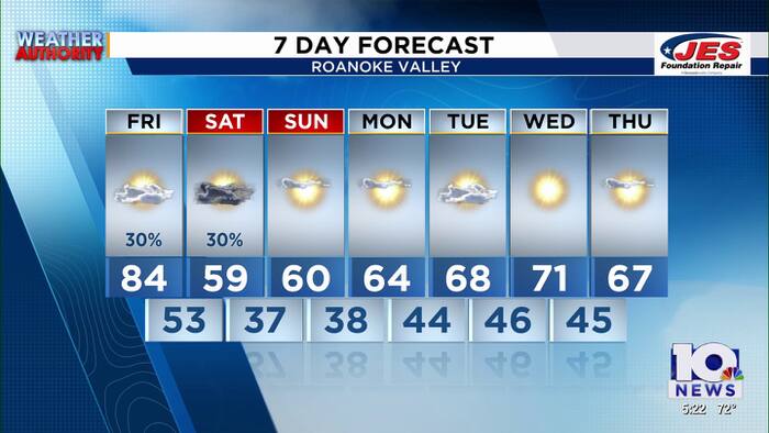 Southwest, Central Virginia Weather | 5 p.m. - Oct. 15, 2026
WSLS Southwest, Central Virginia Weather | 5 p.m. - Oct. 15, 2026 Here is a look at your Thursday evening forecast. Visit Virginia's Blue Ridge Dinner gauges growing tourism Watch The 540 Oct. 15: GO Fest Interview…
- Latest drought monitor shows improving conditions for central, southwest Virginia
LYNCHBURG, Va. (WSET) — The latest drought map for Virginia was released on Thursday, and it shows some improvement across central and southwest Virginia. The improvement is thanks to the remnants of Hurricane Isaias…
-
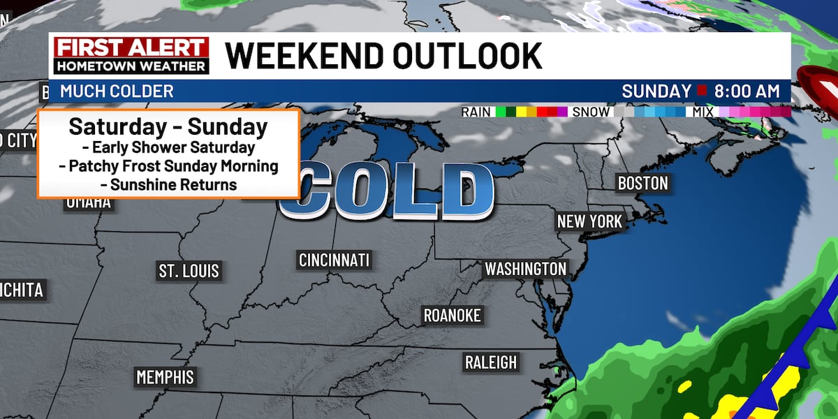 First Alert: Much cooler weekend ahead
It was a scorcher for October earlier today! Several hometowns smashed some daytime high records! We’ll see more clouds today with a few passing rain showers. Our high will climb into the 70s and a few lower 80s. Grab…
-
 Wednesday P.M. Forecast - Oct. 14
Central Oregon Daily The afternoon forecast for Central Oregon Today will be quite lovely with average temperatures and mostly sunny skies. - 2 alleged sexual assaults inside OSU-Cascades dorm leave students sticking…
-
 First Alert: Weather whiplash this week
The heat will peak on Wednesday with highs well into the 80s and even lower 90s. This will be hot enough to set many new records. A cold front will push through Thursday, sparking the chance for some isolated to…
-
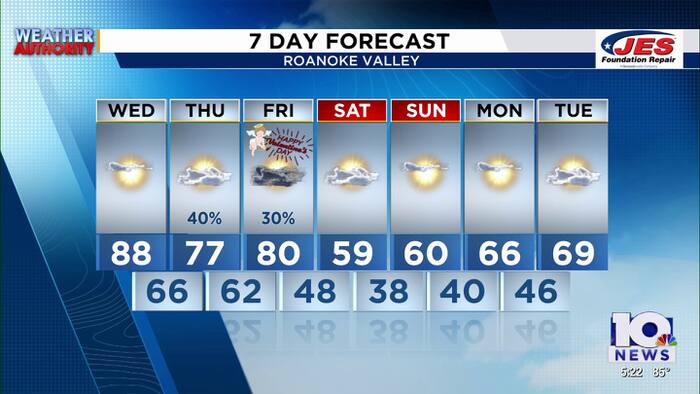 Southwest, Central Virginia Weather | 5 p.m. - Oct. 13, 2026
WSLS Southwest, Central Virginia Weather | 5 p.m. - Oct. 13, 2026 Here's a look at your forecast! Developer exits $750 million deal for nearly 500 acres at New River Valley Commerce Park 13 arrested in connection with…
-
 Southwest, Central Virginia Weather | Noon - Oct. 13, 2026
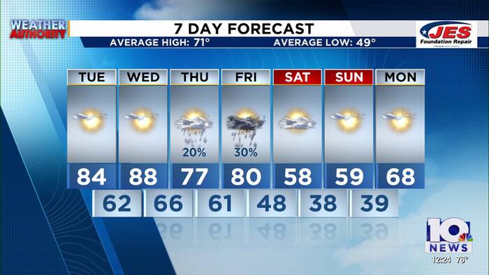
WSLS Southwest, Central Virginia Weather | Noon - Oct. 13, 2026 Here's a look at your forecast! Three WWII vets celebrate 101st, 102nd and 103rd birthdays in Roanoke Healthwatch: How diet can affect breast cancer risk…
-
 Sunshine-Filled Tuesday Ahead!
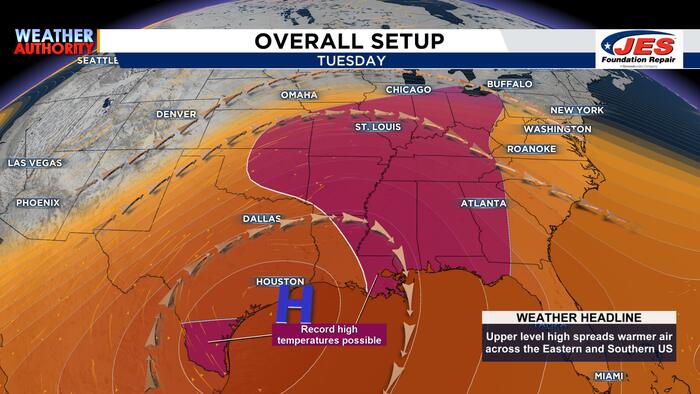
This morning we are starting off with settled weather and that pattern will hold for the rest of the workweek! Our temperatures will stay in the 50s and 60s this morning, so you may want a light jacket as you’re headed…
Air quality
Air quality is satisfactory, and air pollution poses little or no risk.
Gadsden, AL reporting area · 1 hr ago. Data from AirNow (EPA and its state, local and tribal partners); preliminary and subject to change.
Sun & moon
Almanac
MonthlyGadsden, records since 1953. Normals 1991–2020. Data from NOAA's Regional Climate Centers (ACIS).
Nearby
- Gadsden 10 km
- Anniston 34 km
- Albertville 42 km
- Oxford 39 km
- Talladega 55 km
- Pell City 45 km
- Moody 57 km
- Jacksonville 27 km
- Saks 30 km
- Boaz 33 km
- Clay 59 km
- Rainbow City 4 km
Forecasters' discussion
From the National Weather Service office in BMX, issued 4 hrs ago
Key Messages
Issued at 603 PM CDT THU OCT 22 2026
- Seasonable Conditions: Fair weather with warm afternoons and cool mornings is expected through the next seven days.
Discussion
(This afternoon through Wednesday) Issued at 245 PM CDT THU OCT 22 2026
This afternoon at the surface, a large area of high pressure is present across much of the eastern half of Conus. In the upper levels, northerly flow is present. Dry conditions will persist through the seven day forecast with warm days and cool nights. A surface low will develop over the Northern US Rockies now into Friday and move northeast into Central Canada by Saturday. As it does so, the associated front will extend out to the south from it and push eastward out of the Rockies and into the Plains. Also, upper ridging will start out over on the lee side of the Rockies and traverse through the Plains into Eastern Conus by the end of the weekend. All that said, we will remain in a dry pattern with little available moisture for cloud cover much less rain. We may have some meager moisture for a little cloud cover by the beginning of next week. By Monday, an upper shortwave moving northeast out of the Western US will help to weaken the Eastern Conus ridge yielding south to southwest upper flow and a return to some higher cloud cover. Temperatures will remain fairly similar over the next week with lows in the 40s and highs generally in the 70s across Central Alabama.
08
Aviation
(00Z TAFS) Issued at 603 PM CDT THU OCT 22 2026
VFR conditions and light winds prevail through this TAF cycle. Light and variable winds tonight will increase to around 6 knots out of the east during the day Friday.
Note: Fall seasonal issuance of the KASN Talladega TAF began on 10/18 00Z and will continue through 10/28 18Z.
95/Castillo
Fire Weather
High pressure will allow us to maintain rain-free conditions with light winds for the rest of the week. Daytime MinRH values are forecast to be in the 20 to 35 percent range. Winds pick up slightly over the weekend. Given MinRH values and drying fuels, fire weather concerns will remain medium into the weekend.
Forecasts, observations and alerts in the United States come from the National Weather Service (NOAA); radar from NOAA's Multi-Radar Multi-Sensor system; satellite imagery from NASA's Global Imagery Browse Services (GIBS) and NOAA's GOES satellites; the map from the U.S. Geological Survey's National Map; air quality from AirNow (EPA and its partners); hurricane information from the National Hurricane Center; climate normals and records from NOAA's Regional Climate Centers (ACIS). Forecasts outside the United States and the UV index: MET Norway (CC BY 4.0); observations outside the U.S.: airport reports via NOAA's Aviation Weather Center. Place names: GeoNames (CC BY 4.0). Data are copied on a schedule and may lag the sources; for warnings that affect your safety, follow your local National Weather Service office and emergency officials. Weather news is drawn from the 4Conservative index and reflects what the press published. Terms of use.