Install
Tok, AK Weather
Current conditions
Forecast for this hour (no station report in the last two hours)
Forecast
10-day-
Tuesday Night
Snow likely. Cloudy, with a low around 18. Northwest wind around 10 mph, with gusts as high as 30 mph. Chance of precipitation is 60%. New snow accumulation of 1 to 2 inches possible.
-
Wednesday
A chance of snow. Cloudy, with a high near 26. Northwest wind 5 to 10 mph. Chance of precipitation is 40%. New snow accumulation of less than half an inch possible.
-
Wednesday Night
A slight chance of snow before 10pm. Mostly cloudy, with a low around 9. Northwest wind around 5 mph. Chance of precipitation is 20%.
National Weather Service forecast updated 23 hrs ago.
Hourly
Hourly forecast- Now20°37%
- 5 AM19°37%
- 6 AM19°37%
- 7 AM20°37%
- 8 AM20°37%
- 9 AM20°37%
- 10 AM20°22%
- 11 AM22°22%
- 12 PM23°22%
- 1 PM24°22%
- 2 PM25°22%
- 3 PM26°22%
- 4 PM25°17%
- 5 PM24°17%
- 6 PM22°17%
- 7 PM20°17%
- 8 PM19°17%
- 9 PM18°17%
- 10 PM18°
- 11 PM16°
- Thu12 AM14°
- 1 AM13°
- 2 AM12°
- 3 AM12°
10-day forecast
Details- TonightOct 19Snow0.2 in snow79%24°
- TueOct 20Snow5.1 in snow79%18°33°
- TodayOct 21Chance Light Snow0.7 in snow37%9°26°
- ThuOct 22Partly Sunny4°23°
- FriOct 23Mostly Sunny11°25°
- SatOct 24Partly Sunny14°29°
- SunOct 25Partly Sunny14%14°30°
- MonOct 26Partly Sunny30°
- TueOct 27Cloudy13°34°
- WedOct 28Cloudy12°28°
Days after the National Weather Service's seven are MET Norway's outlook, a computer model with no forecaster's review.
Radar
Full mapWeather news near Tok
More weather news-
 Quiet Weather to End the Weekend
Alaska's News Source ANCHORAGE, AK (Alaska’s News Source) - Pleasant weather to start this Saturday with only a few light snow showers in and around Fairbanks, and a few light showers along the southern coastline…
- Weather today, forecast for Sunday, October 18: Cloudy and almost no precipitation, temperatures up to 20°
Oct 18, 2026 03:18 112 Cloudy and almost no precipitation will be the weather in Bulgaria on Sunday, October 18. Temperatures will rise compared to Saturday, with minimums between 3° and 8°, and maximums between 15° and…
-
 Don’t hibernate: How to get outside in Alaska safely after snowfall
ANCHORAGE, Alaska (KTUU) - Mid-October marks a seasonal shift in Anchorage, with snow appearing on nearby mountains and daylight hours shrinking. A local hiking guide and a cardiologist are offering guidance on how to…
-
 First Alert: Significant winter weather headed for Alaska Tuesday
Alaska's News Source First Alert: Significant winter weather headed for Alaska Tuesday Heavy rain tapers off for Southeast, with scattered showers into the weekend Storm impacts begin to wind down in Southeast, but…
-
 Numerous winter weather alerts as heavy snow moves through Southcentral and Interior Alaska
Winter weather alerts have been issued across Southcentral through midweek, with the greatest snowfall potential expected in the Northern Susitna Valley, Copper River Basin, Thompson Pass and the Anchorage and Eagle…
-
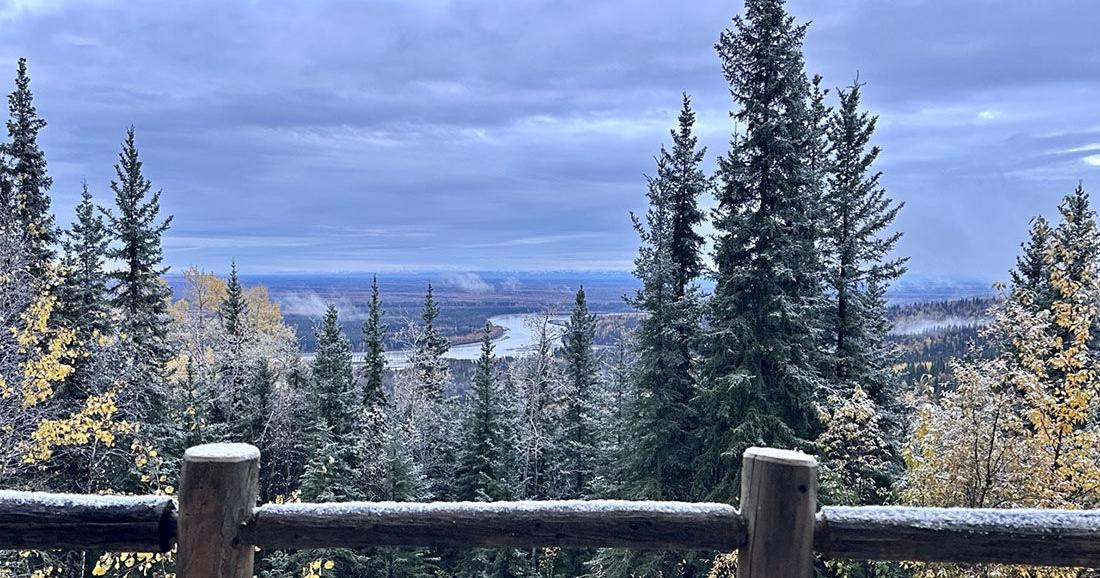 Winter storm could bring significant snow to Interior Alaska
The first snow of 2025 arrived on Sept. 23. Fairbanks and the eastern Interior could see several inches of snow Tuesday morning through Wednesday as the season’s first major winter weather system pushes into the area. A…
-
 Alaska Winter Storm Warning: Fairbanks Region Braces for Up to 30 Inches of Snow and Winds Reaching 65 MPH as NWS Expands Weather Alerts – Check Latest Forecast
Winter Storm Watch: Winter weather is set to make travel difficult across parts of Alaska this week, with the National Weather Service (NWS) warning of heavy snowfall, powerful winds and reduced visibility. The eastern…
-
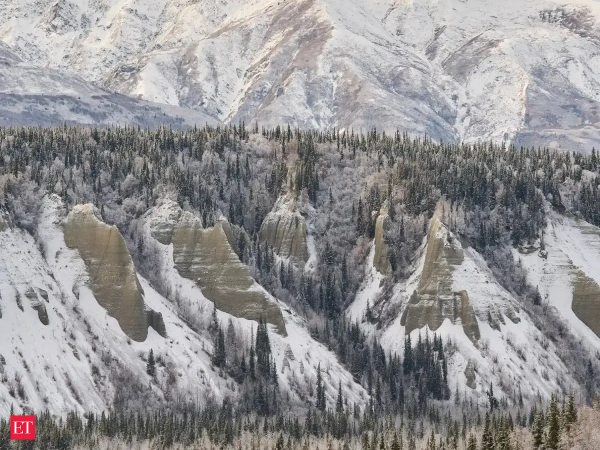 Alaska winter storm: Warning issued for heavy snow, several areas to get up to 30 inches of snow, 65 mph winds this week
A Winter Storm Warning has been issued for Fairbanks, Alaska, by the National Weather Service, predicting heavy snowfall and fierce winds. The eastern Alaska Range may witness up to 24 inches of snow coupled with gusts…
-
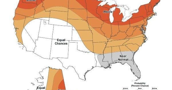 Warmer-than-average temperatures are favored for northern California, the Pacific Northwest, Midwest, Mississippi Valley, much of the East, Alaska and for Puerto Rico / U.S. Virgin Islands.
The Lufkin Daily News Warmer-than-average temperatures are favored for northern California, the Pacific Northwest, Midwest, Mississippi Valley, much of the East, Alaska and for Puerto Rico / U.S. Virgin Islands. - Woman…
-
 First Alert Alaska- Oct. 14, 2026
Alaska's News Source First Alert Alaska- Oct. 14, 2026 FIRST ALERT: Heavy rainfall arrives in Southeast overnight, prompting flood and landslide risk First Alert Alaska: Strong fall storm to affect Southeast this week…
Sun & moon
Almanac
MonthlyTok #2, records since 2010. Normals 1991–2020. Data from NOAA's Regional Climate Centers (ACIS).
Forecasters' discussion
From the National Weather Service office in AFG, issued 15 hrs ago
Key Messages
Central and Eastern Interior... - Snow continues at varying intensities through Wednesday morning and gradually tapers off by the afternoon. * Gusty wind this afternoon may result in areas of blowing snow and lowered visibility. * See winter products in your area at weather.gov/afg
- Temperatures drop considerably Wednesday night and especially Thursday night, with morning wake up temperatures in the single digits/teens Friday morning. Some of the coldest valley location may be as cold as -10F if and when skies clear.
- Quieter weather is expected Thursday and Friday as high pressure builds in overhead.
West Coast and Western Interior... - Scattered rain and snow showers, mainly along the coast through Thursday. Winds turn southwest and gust 20-25 mph Wednesday morning through Thursday night.
- A strong front arrives on the West Coast Friday morning. There will be heavy rain/snow, wind gusts peaking around 50-70 mph, localized blizzard conditions and coastal flooding. * Heaviest snow will be mainly expected in the terrain of the Seward Peninsula and Nulato Hills, but 3 to 6 inches is possible along the Seward Peninsula coast on Friday before changing over to rain. * This will be the start of a series of lows moving into the Eastern Bering through next week.
North Slope and Brooks Range... - Snow showers persist through the end of the week with light snow accumulations around 1 to 2 inches expected.
Synopsis
Snow continues in the Interior as the first big Interior winter storm of the season brings heavy snow. The heaviest snow will be east of Fairbanks, especially in Isabel Pass where feet of snow are expected before it's all said and done. Otherwise, snow will be ending tomorrow and attention then turns to the West Coast where a strong front with heavy precipitation and strong wind arrives by early Friday morning. Strong southerly wind is then expected this weekend with a series of strong lows potentially impacting the West Coast through next week. This could end up being significant with a long duration coastal flooding event. There will be more about this in the coastal section below.
Short Term
Water vapor satellite shows a rapidly strengthening low moving northeast from Prince William Sound to The Yukon. The lowest pressure readings from sensors along the coast are in the 970 to 980mb range so it is quite strong. This will transfer its energy over the mountains and into The Yukon later this evening allowing for heavy banded snow to persist, especially in the Eastern Interior through tonight. All of the snow will end by tomorrow afternoon. Thereafter, 500mb vorticity shows an Arctic trough which is dipping down from the north, bringing light snow to the North Slope and much colder temperatures to much of Northern Alaska by Thursday and Friday. Skies will try to clear Wednesday and Thursday nights and where that happens, temperatures will plummet. Guidance is showing an average of -10 to -15C 850mb temperatures. If this were the heart of winter, we would expect temperatures in the 20s to 30s below zero with clear skies. Given that it is still October, there may be a few spots that drop into the single digits below zero if the skies clear Wednesday and Thursday night. Most other locations will be in the single digits and teens.
Otherwise, there will be a bit of break from very active weather Thursday before a coastal storm arrives with a strong from by early Friday morning. It will get into St. Lawrence Island first, then towards the remainder of the West Coast later in the morning with heavy snow, rain and very strong wind. This low is expected to peak in strength on Thursday at around 955mb, then traverse towards the Gulf of Anadyr Friday into Saturday while weakening to a 980mb low. While this doesn't sound all that impressive, it will be running into a high over the Interior which will help create a strong pressure gradient along the coast. Wind gusts will be as high as 50-70 mph at times Friday. Precipitation will be all snow at the start, with a transition to rain during the late morning and afternoon with an abundance of warm air advection expected. There may be blizzard or near blizzard conditions at the onset of the storm on Friday. This moves up the coast Friday night with heavy precipitation and strong wind expected in the Western Brooks Range as well.
Long Term
Active weather continues into the long term with a Bering Sea low in the Gulf of Anadyr pushing northeast towards the Chukchi Sea. Out ahead of this system is a fairly potent warm front, advecting large amounts of warm air and moisture into Western Alaska. As a result, we expect to see strong south/southwest winds, heavy precipitation, and high water levels impact the West Coast from Hooper Bay north towards Wainwright. Due to southwest steering flow aloft, upslope effects will impact higher elevations across Western Alaska with the Western Brooks Range, Southern Seward Peninsula, and Nulato Hills seeing anomalously high snow accumulations. Exact snowfall totals are still uncertain for now, but model guidance and EFI values continue to point towards higher end amounts. At the surface, temperatures will rise into the mid 30s/low 40s, keeping most of the precipitation as rain at the ground. As the warm front continues to progress inland through the weekend, rain and snow showers will impact portions of the Western and Central Interior, but accumulations look to be much lighter than what is expected along the coast.
As we look towards Sunday into Monday, yet another low make its way into the Bering Sea following behind the parent system. This secondary low looks to bring an additional push of rain/snow and strong winds to the West Coast. Coastal impacts remain unknown this far out, but given the persistence of southwest flow aloft, high water levels and beach erosion cannot be ruled out. As for the storm's track, models are in good agreement with it moving north/northeast through the Bering Strait by Monday morning/afternoon. This set up allows for ridging to reestablish itself in the Gulf and keep the overall flow aloft mostly southwesterly. Elsewhere, building ridging over the Central/Eastern Interior will bring temperatures to above seasonable norms in the low/mid 30s. This pattern will also allow for a continuation of scattered rain/snow showers across the state, which may present some potentially slick and difficult travel conditions through the end of the month.
The biggest takeaway from all this is that active weather will continue through the foreseeable future, with models hinting at a potential third low pressure system moving into the Bering Sea mid/late next week. Should this pan out, flooding concerns become more likely for communities along the West Coast, as well as a slight chance for rain/snow showers within the Interior.
Coastal Hazard Potential... A series of coastal storms are expected beginning on Friday. Water will rise several feet above the normal high tide line for many locations, resulting in minor coastal flooding and high surf/erosion. The areas of most concern are currently the Yukon Delta and Norton Sound where these spots are estimated to get the highest rises. Other locations up and down the coast will see impacts from this, but they may end up being geared towards high surf rather than coastal flooding. After this first storm, there will be another one arriving right on its heels Sunday night. This one looks like it may be more impactful with more significant flooding possible due to strong southwesterly flow. Overall, it will be an impactful several days of weather coming up beginning on Friday and we will be keeping a very close eye on this pattern as it progresses. For the latest updates, please see weather.gov/afg.
Forecasts, observations and alerts in the United States come from the National Weather Service (NOAA); radar from NOAA's Multi-Radar Multi-Sensor system; satellite imagery from NASA's Global Imagery Browse Services (GIBS) and NOAA's GOES satellites; the map from the U.S. Geological Survey's National Map; air quality from AirNow (EPA and its partners); hurricane information from the National Hurricane Center; climate normals and records from NOAA's Regional Climate Centers (ACIS). Forecasts outside the United States and the UV index: MET Norway (CC BY 4.0); observations outside the U.S.: airport reports via NOAA's Aviation Weather Center. Place names: GeoNames (CC BY 4.0). Data are copied on a schedule and may lag the sources; for warnings that affect your safety, follow your local National Weather Service office and emergency officials. Weather news is drawn from the 4Conservative index and reflects what the press published. Terms of use.