Install
Petersburg, AK Weather
Current conditions
Forecast for this hour (no station report in the last two hours)
Forecast
10-day-
Sunday Night
Mostly cloudy, with a low around 33.
-
Monday
Mostly cloudy, with a high near 45.
-
Monday Night
Mostly cloudy, with a low around 34.
National Weather Service forecast updated 4 days ago.
Hourly
Hourly forecast- Now36°
- 1 AM35°
- 2 AM35°
- 3 AM34°
- 4 AM34°13%
- 5 AM34°13%
- 6 AM34°13%
- 7 AM35°13%
- 8 AM36°13%
- 9 AM37°13%
- 10 AM39°11%
- 11 AM40°11%
- 12 PM42°11%
- 1 PM43°11%
- 2 PM44°11%
- 3 PM44°11%
- 4 PM43°12%
- 5 PM42°12%
- 6 PM41°12%
- 7 PM39°12%
- 8 PM38°12%
- 9 PM38°12%
- 10 PM38°11%
- 11 PM37°11%
10-day forecast
Details- WedOct 21Rain Showers Likely86%36°46°
- ThuOct 22Rain Showers Likely73%35°43°
- FriOct 23Patchy Fog then Mostly Sunny17%31°44°
- SatOct 24Sunny31°44°
- SunOct 25Mostly Sunny13%33°45°
- TodayOct 26Mostly Cloudy13%34°45°
- TueOct 27Mostly Sunny33°46°
- WedOct 28Partly cloudy38°55°
- ThuOct 29Mostly sunny37°53°
- FriOct 30Cloudy0.05 in38°43°
Days after the National Weather Service's seven are MET Norway's outlook, a computer model with no forecaster's review.
Radar
Full mapWeather news near Petersburg
More weather news-
 FIRST ALERT: Heavy rainfall arrives in Southeast overnight, prompting flood and landslide risk
Alaska's News Source ANCHORAGE, AK (Alaska’s News Source) - A storm containing the remnants of former Hurricane/Typhoon Nolo, is arriving in the Gulf of Alaska today, before bringing storm impacts to much of the Gulf…
-
 First Alert: Significant storm impacts ahead of Western Alaska to close out the week
ANCHORAGE, AK (Alaska’s News Source) - Storm impacts are set to arrive to close out the week after a multitude of weather alerts are set to go into effect by Friday from the Aleutian Chain all the way to the North…
-
 Strong storm to bring blizzard conditions, flooding, high surf and high winds to Western Alaska
KTVF Fairbanks Strong storm to bring blizzard conditions, flooding, high surf and high winds to Western Alaska Coldest air of the season is set to arrive with clearing conditions across the state Winter weather persists…
-
 First alert: Strong storm to bring blizzard conditions, flooding, high surf and high winds to Western Alaska
ANCHORAGE, AK (Alaska’s News Source) - While things are quieting down across Southcentral Alaska and the Interior, a storm is brewing in the Bering Sea and Western Alaska. While colder weather settles in across the…
- High winds, potential coastal flooding in the forecast for Western Alaska
780 AM 96.1 FM A low-pressure system is expected to bring nearly 80 mph wind gusts to the west coast this week, according to the National Weather Service (NWS). Coastal wind warnings and winter weather hazards have been…
-
 Heavy Winter Storm Warnings for Alaska: Up to 36 Inches of Snow Forecast
Winter Storm Warnings are in effect across Alaska’s Eastern Interior, with up to 36 inches of snow forecast in the Eastern Alaska Range. The warnings run into Wednesday afternoon for most areas. In the Eastern Alaska…
-
 Don’t hibernate: How to get outside in Alaska safely after snowfall
ANCHORAGE, Alaska (KTUU) - Mid-October marks a seasonal shift in Anchorage, with snow appearing on nearby mountains and daylight hours shrinking. A local hiking guide and a cardiologist are offering guidance on how to…
-
 First Alert: Significant winter weather headed for Alaska Tuesday
Alaska's News Source First Alert: Significant winter weather headed for Alaska Tuesday Heavy rain tapers off for Southeast, with scattered showers into the weekend Storm impacts begin to wind down in Southeast, but…
-
 Numerous winter weather alerts as heavy snow moves through Southcentral and Interior Alaska
Winter weather alerts have been issued across Southcentral through midweek, with the greatest snowfall potential expected in the Northern Susitna Valley, Copper River Basin, Thompson Pass and the Anchorage and Eagle…
-
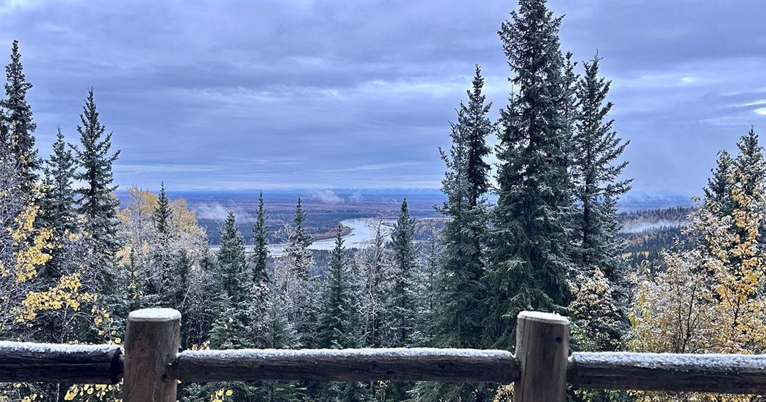 Winter storm could bring significant snow to Interior Alaska
The first snow of 2025 arrived on Sept. 23. Fairbanks and the eastern Interior could see several inches of snow Tuesday morning through Wednesday as the season’s first major winter weather system pushes into the area. A…
Sun & moon
Almanac
MonthlyPetersburg 1, records since 1926. Normals 1991–2020. Data from NOAA's Regional Climate Centers (ACIS).
Nearby
- Wrangell 52 km
Forecasters' discussion
From the National Weather Service office in AJK, issued 2 hrs ago
Update
For 06z TAF Issuance, and Long Term Update.
/06z Update/...A weakening front continues to spread a cloud deck of around 3000 ft out ahead of it over Icy Strait this evening. Along the front itself, the northeast coast is seeing a stable marine layer with CIGs between 500 and 1500 ft at times in Yakutat as well as drops in visibility due to occasional light precipitation. Temperatures there look to remain warm enough to not see any frozen precip at sea level though at this time. For the inner channels, VFR conditions prevail as of 6z, with Gustavus having seen a shallow fog bank briefly roll in off of Glacier Bay earlier in the evening. A repeat occurrence cannot be ruled out later overnight, though with the higher cloud deck moving in overnight, a repeat performance from Saturday night is not expected at this time. Light easterly flow at Sitka ahead of the front is also bringing low end MVFR conditions that should improve once the weakening front pushes into the panhandle through early Monday.
Synopsis
Key Messages:
- A weak disturbance will slide south through SEAK Sunday night through Monday, bringing a chance of showers.
- Quiet weather returns for Tuesday through Thursday, with more sun and dry conditions expected. Northerly outflow winds expected to increase through the inner channels and outer coastal waters.
- A return to a wetter pattern expected by late week into next weekend.
Long Term
/Thursday through Saturday/...
Nothing much to speak of in the middle of the week as a large ridge parks itself over the Gulf. A change in pattern is on the horizon, however, as a front makes its way into the panhandle late Friday, dropping rain through Saturday. This does not have the appearance of a particularly heavy or concerning rain system, but it will end the nice weather. Cold air ahead of the front has the snow level pretty low, but the change to southerly flow and slow arrival of moisture will likely eliminate the confluence of factors necessary for some snow to mix in for low elevation spots early at event onset. Expect a rain event, but as this system gets in range for high res models, the rain/snow line will be something to watch.
Aviation
/through 0Z Tuesday/...VFR conditions continue to prevail, with the exception of PAYA which is seeing the marine layer build as the high pressure in the gulf shifts southeast. Misty conditions have reduced visibilities in Yakutat With broken CIGs sitting around 1,500ft. A scattered layer has been transitioning to broken at about 500ft through the daytime hours and is expected to build again overnight. As the high pressure breaks apart, a weak shortwave is expected to move across the area late tonight into early Monday morning. This bringing low chances of rain to outer coastal sites and increased cloud cover across the panhandle. Rain is expected as early as 9Z and as late as 12Z, with mid level broken to overcast decks moving into the southern panhandle between 12 and 15Z. This first wave of energy is likely not strong enough to reach the inner communities, but a secondary weakening front could increase rain chances across the panhandle through the day Monday. Wind is likely to remain light and variable through the period with no other forecast concerns.
Forecasts, observations and alerts in the United States come from the National Weather Service (NOAA); radar from NOAA's Multi-Radar Multi-Sensor system; satellite imagery from NASA's Global Imagery Browse Services (GIBS) and NOAA's GOES satellites; the map from the U.S. Geological Survey's National Map; air quality from AirNow (EPA and its partners); hurricane information from the National Hurricane Center; climate normals and records from NOAA's Regional Climate Centers (ACIS). Forecasts outside the United States and the UV index: MET Norway (CC BY 4.0); observations outside the U.S.: airport reports via NOAA's Aviation Weather Center. Place names: GeoNames (CC BY 4.0). Data are copied on a schedule and may lag the sources; for warnings that affect your safety, follow your local National Weather Service office and emergency officials. Weather news is drawn from the 4Conservative index and reflects what the press published. Terms of use. How to use Weather