Install
Dayton, WA 99328 Weather
Current conditions
Forecast for this hour (no station report in the last two hours)
Forecast
10-day-
Today
Showers and thunderstorms likely after 11am. Mostly cloudy. High near 61, with temperatures falling to around 55 in the afternoon. Southwest wind around 3 mph. Chance of precipitation is 70%. New rainfall amounts between a tenth and quarter of an inch possible.
-
Tonight
Rain showers before 5am. Mostly cloudy. Low around 39, with temperatures rising to around 43 overnight. Southwest wind 3 to 12 mph, with gusts as high as 22 mph. Chance of precipitation is 80%. New rainfall amounts between a tenth and quarter of an inch possible.
-
Friday
Mostly sunny. High near 55, with temperatures falling to around 53 in the afternoon. Southwest wind 7 to 14 mph, with gusts as high as 22 mph.
National Weather Service forecast updated 11 hrs ago.
Hourly
Hourly forecast- Now57°67%
- 4 PM56°67%
- 5 PM55°59%
- 6 PM53°59%
- 7 PM53°59%
- 8 PM49°76%
- 9 PM48°76%
- 10 PM49°76%
- 11 PM47°51%
- Fri12 AM48°51%
- 1 AM48°51%
- 2 AM47°20%
- 3 AM45°20%
- 4 AM45°20%
- 5 AM43°
- 6 AM41°
- 7 AM41°
- 8 AM41°
- 9 AM40°
- 10 AM44°
- 11 AM46°
- 12 PM51°
- 1 PM51°
- 2 PM53°
Daily forecast
Details- TodayOct 22Showers And Thunderstorms Likely76%39°61°
- FriOct 23Mostly Sunny33°55°
- SatOct 24Areas Of Frost then Mostly Sunny37°59°
- SunOct 25Mostly Sunny22%36°61°
- MonOct 26Chance Rain Showers32%35°58°
- TueOct 27Slight Chance Rain Showers20%34°57°
- WedOct 28Mostly Sunny14%34°57°
- ThuOct 29Sunny37°60°
- FriOct 30Partly cloudy39°58°
Days after the National Weather Service's seven are MET Norway's outlook, a computer model with no forecaster's review.
Radar
Full mapWeather news in Washington
More weather news-
 Washington DC weather forecast: Sunny autumn day with highs of 22°C and no rain
Washington DC, October 22, 2026. Today, residents can expect a delightful day characterized by plenty of sunshine, with maximum temperatures reaching around 22°C and a comfortable minimum of 9°C. Washington DC, October…
-
 Enjoy a sunny day in Washington DC with temperatures reaching 21°C and no rain forecasted
The Times of India Today, in Washington DC, residents can expect a day filled with plenty of sunshine The temperature is likely to peak at a comfortable 21°C while dipping to a cooler 6°C at night With no chance of…
-
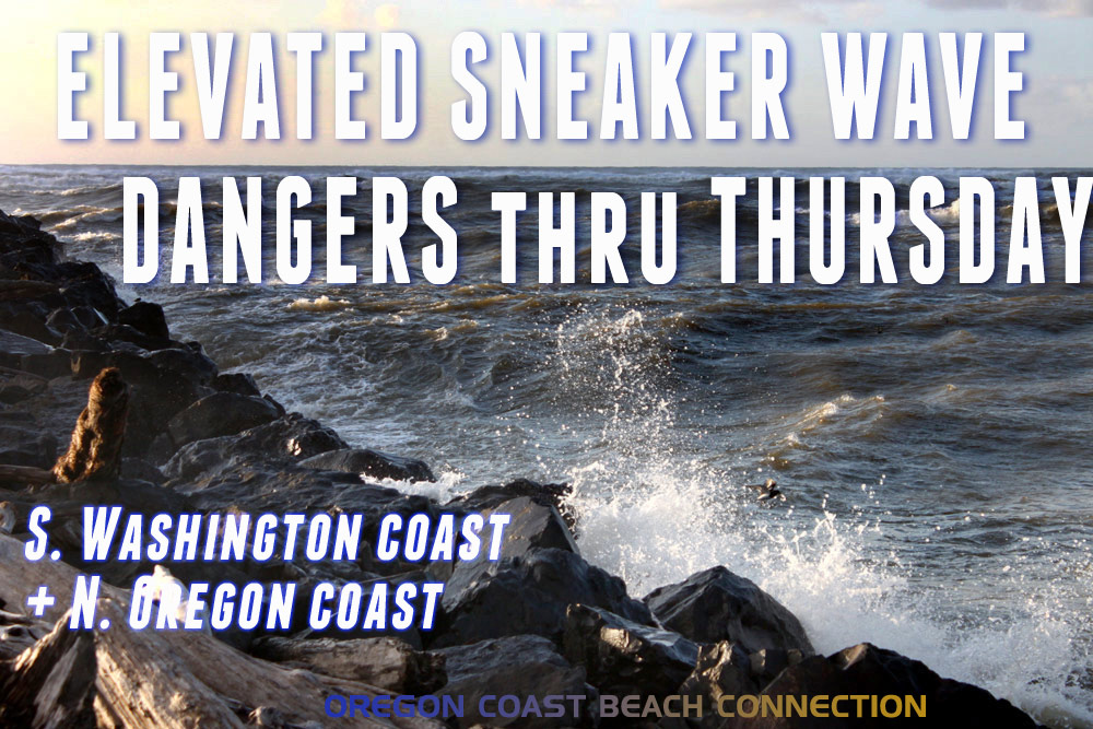 Elevated Sneaker Wave Threat Along N. Oregon Coast, S. Washington Coast
Published 10/20/2026 at 7:55 p.m. By Oregon Coast Beach Connection Staff (Waldport, Oregon) – The National Weather Service (NWS) is saying there is an increased threat of sneaker waves on the northern half of the Oregon…
-
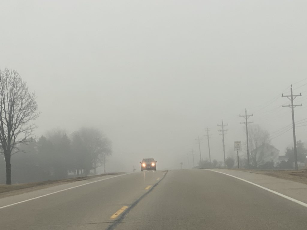 Dense fog advisory until 8 a.m. in Washington and surrounding counties
October 20, 2026 – Headlights are a must this morning as dense fog blankets Washington County and surrounding communities. My grandmother would say “it’s thick as pea soup.” What was your grandma’s saying for foggy…
-
 Week Ahead in Washington: Week of October 18
KY3 Week Ahead in Washington: Week of October 18 Woman kills husband, 3-year-old son at Great Wolf Lodge, police say Firefighters warn carbon monoxide alarms save lives as cold weather increases heating use Missouri Fan…
-
 Washington-Kyiv Rift Deepens as Zelensky Feels “Betrayed”
Jordan News Washington-Kyiv Rift Deepens as Zelensky Feels “Betrayed”
-
 Washington DC weather forecast: Rain today, sunny skies and warming trends ahead
The Times of India Washington DC, October 17, 2026 This morning, residents can expect a little rain, leading into a windy and cooler day The high temperature is forecasted to reach 14°C, with a noticeable drop tonight…
-
 Maclane Westbrook - Mt. Washington, New Hampshire
KPVI There was a problem reporting this. Keep it Clean. Please avoid obscene, vulgar, lewd, racist or sexually-oriented language. Poll: Inflation tops voter concerns, national debt near the bottom 15 vintage dishes that…
-
 Freeze warning across Washington County, WI brings hope for whitetail deer battling EHD
The National Weather Service has issued a freeze warning from 1 a.m. to 9 a.m. Saturday, with temperatures expected to drop as low as 28 degrees in portions of east central, south central and southeastern Wisconsin…
-
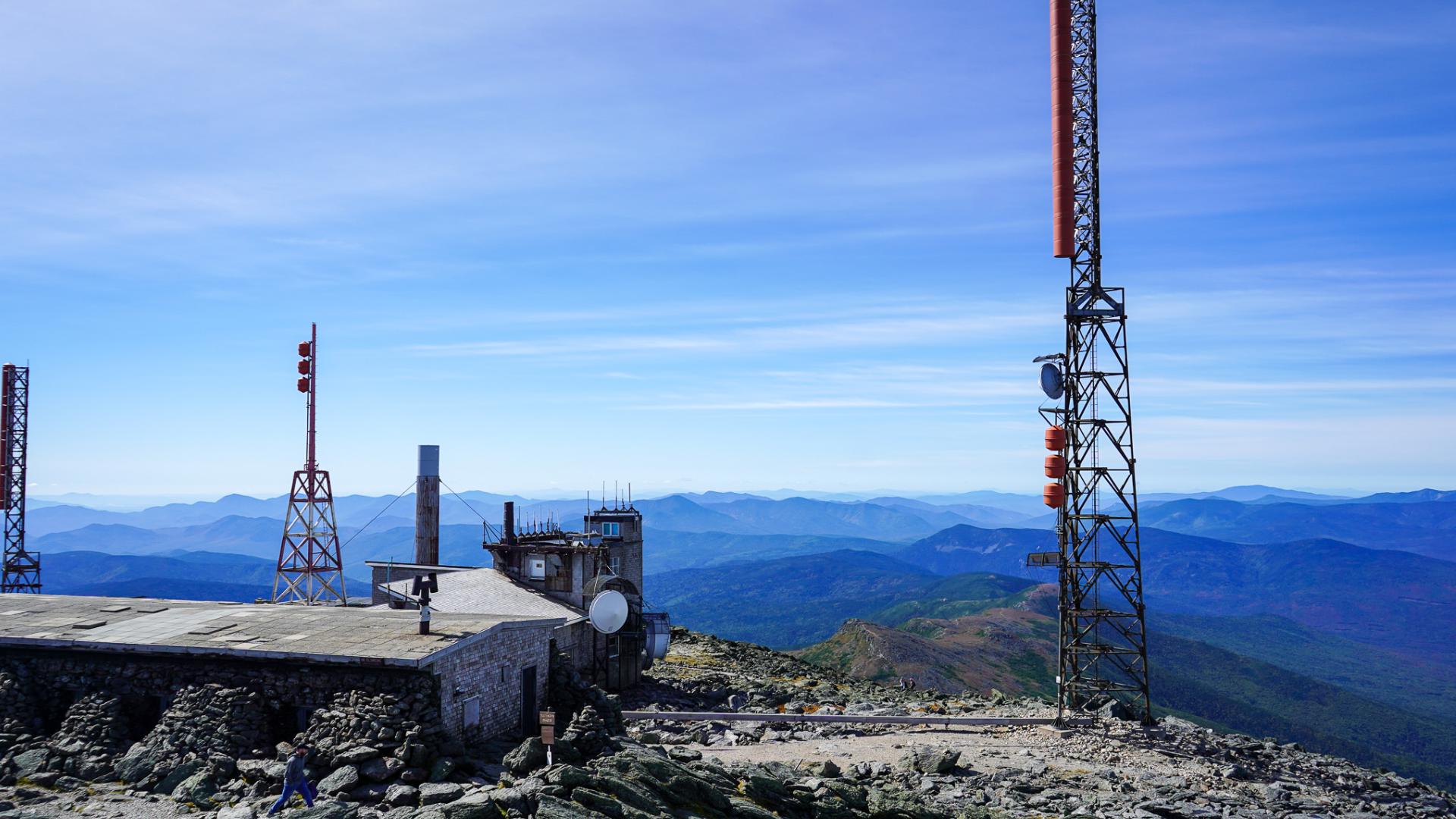 How Mount Washington's weather observatory helps forecast New England's wild weather
Their destination was the summit of Mount Washington, the Northeast's highest peak and home to one of the country's most famous weather observatories. Visitors lined up at the base of the Auto Road for the winding drive…
Air quality
Acceptable. Unusually sensitive people should consider limiting prolonged outdoor exertion.
Forecast
- ThuGood
- FriGood
Dayton, WA reporting area · 1 hr ago. Data from AirNow (EPA and its state, local and tribal partners); preliminary and subject to change.
Sun & moon
Almanac
MonthlyDayton 1 Wsw, records since 1893. Normals 1991–2020. Data from NOAA's Regional Climate Centers (ACIS).
Nearby
- Walla Walla 39 km
- College Place 43 km
- Milton-Freewater 52 km
Forecasters' discussion
From the National Weather Service office in PDT, issued 4 hrs ago
Key Messages
- Return of showers and isolated thunderstorms to the eastern mountains Today
- Breezy to gusty winds developing across the area Tonight into Friday morning, with strongest winds through the Cascade gaps
- Moderate-high confidence (65-80%) in freezing morning temperatures across lower elevation area Saturday
Discussion
An upper trough and a cold front will move across the region later Today and Tonight, with limited weather impacts from winds, rains and convection. A limited convective threat today as CAPEs over the eastern mountains broadly 100-200 J/kg and higher elevated 400 J/kg pose an isolated lightning risk. Initially, the REFs is trending toward an initial warm advection induced swath of showers supported by the REFS mean lighting fields of 0.02-0.05 flashes/ sq KM/5 mins. This feature is focused across the John Day Basin at 8 am, and advecting across Pendleton/Walla Walla toward the Tri-Cities between about 9 and 11 am. The time window for best rain accumulations is between about 3 and 12z Friday (8 pm This evening - 5 am Tomorrow) when 3 hour probability matched means show areas in excess of a quarter inch every 3 hours across the Foothills Blues Mountains eastward into Wallowa county. The HREF 24 hr PMMs are at about 0.75 to 1 inch QPF across these areas and at least widespread wetting rain over the entirely of the eastern mountains.
A wind advisory remains in effect across the Kittitas and Eastern Columbia river Gorge zones for increasing wind This Evening through much of the overnight as the post frontal pressure isallobaric pressure rises cause channeling effects leading to NBMs probabilities for gusts in excess of 40 mph averaging 50 to 80 percent, particularly around The Dalles and Ellensburg.
Lastly, cold temperatures will return on the backside of this exiting weather system Friday night into Saturday morning, bringing potential for growing season ending sub freezing temperatures across the lower elevations of the Kittitas/Yakima valley, Blue Mt foothills and the Columbia Basin.
Aviation
VFR conditions expected through the period. A system passing to the south will bring rain shower impacts to sites RDM/BDN through 00Z, PSC through 02Z, and sites PDT/ALW through 08-09Z tonight. BKN-OVC CIGS are expected to lower after sunset at sites PDT/ALW this evening, but should remain AOA 4kft AGL. A cold front passage will bring breezy conditions to sites DLS/PDT/RDM/BDN/YKM. At site DLS, winds will increase to 15-25kts with gusts up to 40kts after 22Z. Sites RDM/BDN will see winds increase to 12-15kts with gusts to around 20kts between 00Z-13Z. Site YKM winds will increase to 12-15kts with gusts to around 23kts between 03Z-15Z. Short-term model guidance is indicating low level wind shear impacts up to 2kft AGL between 03Z-15Z tonight at site YKM, but confidence is low-moderate(30-40%) in persistent wind shear impacts over the site. Lawhorn/82
Pdt Watches
WA...Wind Advisory from 7 PM this evening to 11 AM PDT Friday for WAZ024-026. OR...Wind Advisory from 7 PM this evening to 11 AM PDT Friday for ORZ041.
Forecasts, observations and alerts in the United States come from the National Weather Service (NOAA); radar from NOAA's Multi-Radar Multi-Sensor system; satellite imagery from NASA's Global Imagery Browse Services (GIBS) and NOAA's GOES satellites; the map from the U.S. Geological Survey's National Map; air quality from AirNow (EPA and its partners); hurricane information from the National Hurricane Center; climate normals and records from NOAA's Regional Climate Centers (ACIS). Forecasts outside the United States and the UV index: MET Norway (CC BY 4.0); observations outside the U.S.: airport reports via NOAA's Aviation Weather Center. Place names: GeoNames (CC BY 4.0). Data are copied on a schedule and may lag the sources; for warnings that affect your safety, follow your local National Weather Service office and emergency officials. Weather news is drawn from the 4Conservative index and reflects what the press published. Terms of use.