Install
Tacoma, WA 98411 Weather
Current conditions
Observed at Tacoma, Tacoma Narrows Airport · 1 hr ago
Forecast
10-day-
Tonight
Mostly cloudy. Low around 44, with temperatures rising to around 46 overnight. East northeast wind 0 to 6 mph.
-
Friday
Mostly sunny. High near 56, with temperatures falling to around 54 in the afternoon. East wind 0 to 5 mph.
-
Friday Night
Mostly clear, with a low around 39. East southeast wind around 2 mph.
National Weather Service forecast updated 7 hrs ago.
Hourly
Hourly forecast- Now54°10%
- 8 PM53°
- 9 PM52°
- 10 PM52°
- 11 PM51°
- Fri12 AM50°
- 1 AM50°
- 2 AM49°
- 3 AM48°
- 4 AM47°
- 5 AM46°
- 6 AM45°
- 7 AM45°
- 8 AM44°
- 9 AM46°
- 10 AM48°
- 11 AM50°
- 12 PM50°
- 1 PM53°
- 2 PM53°
- 3 PM54°
- 4 PM55°
- 5 PM54°
- 6 PM54°
10-day forecast
Details- TodayOct 22Partly Sunny11%44°57°
- FriOct 23Mostly Sunny39°56°
- SatOct 24Partly Sunny then Slight Chance Light Rain46%43°54°
- SunOct 25Chance Light Rain51%44°56°
- MonOct 26Slight Chance Light Rain24%43°56°
- TueOct 27Partly Sunny14%43°56°
- WedOct 28Partly Sunny14%42°56°
- ThuOct 29Mostly sunny42°57°
- FriOct 30Sunny40°58°
- SatOct 31Cloudy40°55°
Days after the National Weather Service's seven are MET Norway's outlook, a computer model with no forecaster's review.
Radar
Full mapWeather news near Tacoma
More weather news-
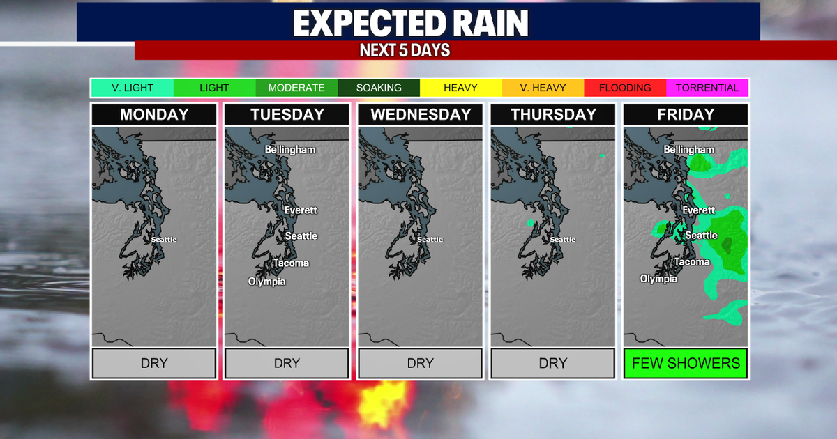
 Seattle weather: More sunny fall days ahead
FOX 13 Seattle FOX 13 Seattle Meteorologist Claire Anderson has your latest western Washington weather forecast.
-
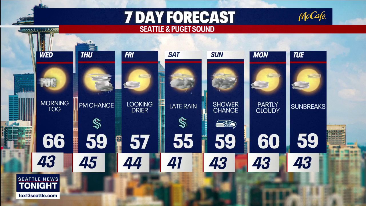
 Seattle weather: Mild Wednesday, cooler later this week
Seattle weather: Morning fog, low 60s Tuesday Seattle - Western Washington’s weather will continue to stay quiet through Friday, though some could see a few light showers on Thursday. Light offshore flow won't be strong…
-
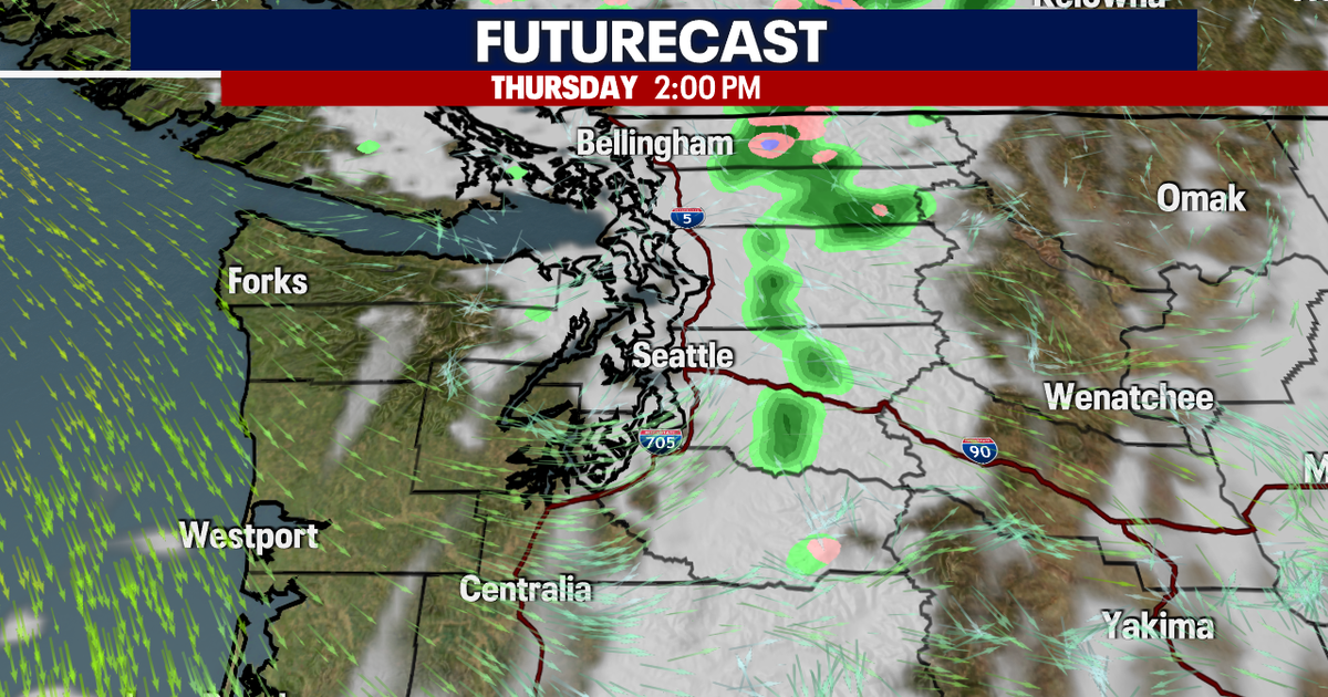
 Seattle weather: Sunny and mild to start this week, dry weather ahead
FOX 13 Seattle Meteorologist Claire Anderson has your latest western Washington weather forecast. Nice and dry weather throughout this week with plenty of sunshine. Tuesday will be another mild day with highs in the low…
-
 Seattle Kraken
Fairbanks Daily News-Miner "Let's look back at some of our history together." David Underwood of Fairbanks captured this autumn tableau, titling it âTreebeard eying my fall pumpkin harvest.â - Winter storm could…
-
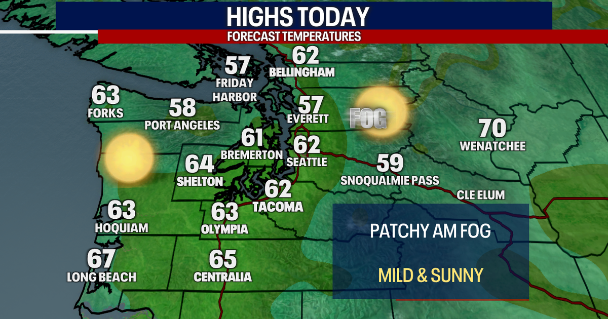
 Seattle weather: Morning fog, afternoon sun through Wednesday
Seattle weather: Morning clouds in the low 60s Monday SEATTLE - Western Washington is heading into a stretch of quiet fall weather this week, with plenty of sunshine in the mix over the next few days. High clouds are…
-
 TRAFFIC, WEATHER, TRANSIT: Tuesday notes
6:03 AM: Good morning! Welcome to Tuesday, October 20, 2026. Sunny, high near 60. Sunrise will be at 7:35 am today, with sunset at 6:11 pm. Washington State Ferries – The Triangle Route is now on the two-boat schedule…
- Wisconsin Winter 2026-27: Milwaukee, 55.8-Inch Snow History
NOAA historical maps covering 1950–2009 show that strong El Niño winters have generally favored below-average snowfall across Wisconsin and the broader Upper Midwest. However, those maps do not establish a comparable…
- Kentucky Winter 2026-27: Louisville, 13.89-Inch Snow History
NOAA's historical El Niño snowfall analysis from 1950–2009 shows mixed snowfall departures across Kentucky and neighboring states, without establishing a consistent statewide increase or decrease. Why El Niño Doesn't…
- El Nino, Sea Level, and Kelvin Waves: Correcting Media Errors
From the Cliff Mass Weather Blog The media recently reported on oceanic Kelvin waves and their connection to El Nino. See samples below. Some of the information is correct; some is problematic or exaggerated (samples…
-
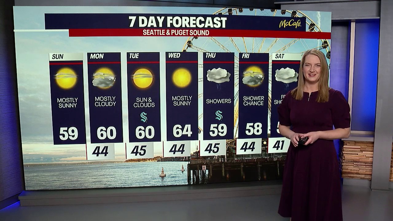 Seattle weather: cooler temps and sunshine returns
FOX 13 Seattle FOX 13 reporter Jennifer Dowling has your seven day forecast
Air quality
Air quality is satisfactory, and air pollution poses little or no risk.
Forecast
- ThuGood (33)
- FriGood (33)
- SatGood (33)
Tacoma-Puyallup, WA reporting area · 2 hrs ago. Data from AirNow (EPA and its state, local and tribal partners); preliminary and subject to change.
Sun & moon
Almanac
MonthlySeattle Tacoma Area, records since 1945. Normals 1991–2020. Data from NOAA's Regional Climate Centers (ACIS).
Nearby
Forecasters' discussion
From the National Weather Service office in SEW, issued 4 hrs ago
Synopsis
Generally dry and mild conditions are expected through the end of the week, with light precipitation possible over the weekend as low pressure moves south from the British Columbia coast. Weak ridging and drier conditions are forecast through the last week of the month, but a return to a more active weather regime is possible as of the first week of November.
Short Term
The dissipating front has left mostly cloudy skies across western Washington this afternoon, with highs in the mid 50s and low 60s. Skies will be clearer on Friday and with slightly cooler temperatures. A low pressure system will be moving into Washington waters Saturday for a chance of showers throughout the day. Morning lows on Saturday will be in the upper 30s to low 40s. Mountain valley locations could be in the low 30s for possible frost and freezes. More of the precipitation will be focused along the Olympic Peninsula with amounts of only a few hundredths of an inch inland through Puget Sound.
Long Term
Some shower activity will linger into Sunday but will remain mostly cloudy. Only a few hundredths of an inch are in the forecast for Sunday but generally conditions look to become drier trending into Sunday afternoon. Some of the ensemble guidance takes the aforementioned low pressure system inland into Oregon early in the week, which would keep conditions on the cooler and cloudier side, other solutions bring in weak high pressure. The majority of the week will be dry. However, there are extended range solutions indicating that the end of the month and into the first week of November may signal a switch to a more active pattern. The probabilistic week two hazards have portions of the CWA highlighted for slight risks of heavy rain, possible mountain snow and some breezier conditions for the immediate coast. Stay tuned to the forecast as details evolve.
21
Aviation
Generally VFR this afternoon with pockets of MVFR ceilings affecting terminals near the Canada border. Low end VFR clouds are expected to continue to fill in across western Washington this evening, continuing to lower to MVFR/IFR overnight. Calm conditions overnight will result in another round of MVFR to IFR/localized LIFR conditions as low stratus and fog expand over the region early Friday morning, particularly south of the Puget Sound and over the Kitsap Peninsula. Flight conditions are expected to improve to VFR across western Washington Friday afternoon under clear skies.
Surface winds this afternoon generally northerly around 5-12 kt will ease this evening and shift southeasterly early Friday morning, switching back to northerly Friday afternoon.
KSEA...VFR with occasionally breezy NW winds 10-15 kt with gusts to 20 kt. Winds will ease later this evening, gradually veering easterly to southerly to westerly overnight, and back to northerly flow Friday afternoon. Confidence is increasing over MVFR ceilings developing over the terminal overnight, with a 35-40% chance of cigs below 3000 feet and a 30% chance of cigs below 2000 feet between 12z- 18z Friday morning. VFR conditions expected to return by the afternoon under clear skies.
15
Forecasts, observations and alerts in the United States come from the National Weather Service (NOAA); radar from NOAA's Multi-Radar Multi-Sensor system; satellite imagery from NASA's Global Imagery Browse Services (GIBS) and NOAA's GOES satellites; the map from the U.S. Geological Survey's National Map; air quality from AirNow (EPA and its partners); hurricane information from the National Hurricane Center; climate normals and records from NOAA's Regional Climate Centers (ACIS). Forecasts outside the United States and the UV index: MET Norway (CC BY 4.0); observations outside the U.S.: airport reports via NOAA's Aviation Weather Center. Place names: GeoNames (CC BY 4.0). Data are copied on a schedule and may lag the sources; for warnings that affect your safety, follow your local National Weather Service office and emergency officials. Weather news is drawn from the 4Conservative index and reflects what the press published. Terms of use.