Install
Seattle, WA 98199 Weather
Current conditions
Observed at EW0123 Bainbridge Island WA US · 38 min ago
Forecast
10-day-
Today
Sunny, with a high near 62. Northwest wind 1 to 5 mph.
-
Tonight
Partly cloudy, with a low around 49. North northeast wind around 7 mph.
-
Thursday
Partly sunny. High near 57, with temperatures falling to around 55 in the afternoon. North northeast wind 5 to 8 mph.
National Weather Service forecast updated 10 hrs ago.
Hourly
Hourly forecast- Now52°
- 12 PM54°
- 1 PM57°
- 2 PM59°
- 3 PM60°
- 4 PM61°
- 5 PM61°
- 6 PM60°
- 7 PM58°
- 8 PM56°
- 9 PM55°
- 10 PM54°
- 11 PM53°
- Thu12 AM53°
- 1 AM52°
- 2 AM52°
- 3 AM51°
- 4 AM51°
- 5 AM50°
- 6 AM50°
- 7 AM49°
- 8 AM49°
- 9 AM49°
- 10 AM50°
Daily forecast
Details- TodayOct 21Sunny49°62°
- ThuOct 22Partly Sunny48°57°
- FriOct 23Mostly Sunny45°55°
- SatOct 24Chance Light Rain42%47°53°
- SunOct 25Chance Light Rain29%47°56°
- MonOct 26Slight Chance Light Rain then Mostly Sunny16%46°56°
- TueOct 27Mostly Sunny then Slight Chance Light Rain18%46°55°
- WedOct 28Cloudy47°55°
- ThuOct 29Cloudy46°52°
Days after the National Weather Service's seven are MET Norway's outlook, a computer model with no forecaster's review.
Radar
Full mapWeather news near Seattle
More weather news-
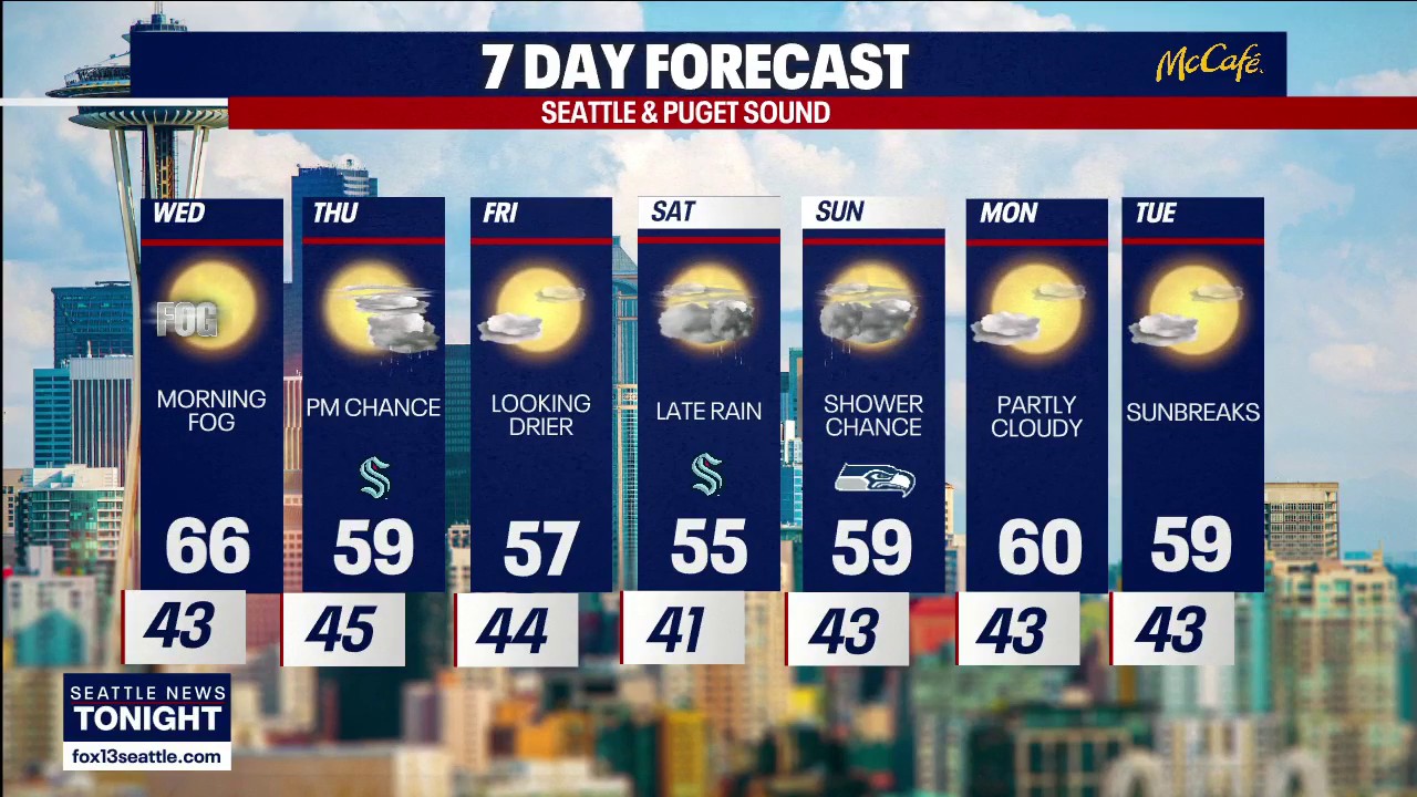 Seattle weather: More sunny fall days ahead
FOX 13 Seattle FOX 13 Seattle Meteorologist Claire Anderson has your latest western Washington weather forecast.
-
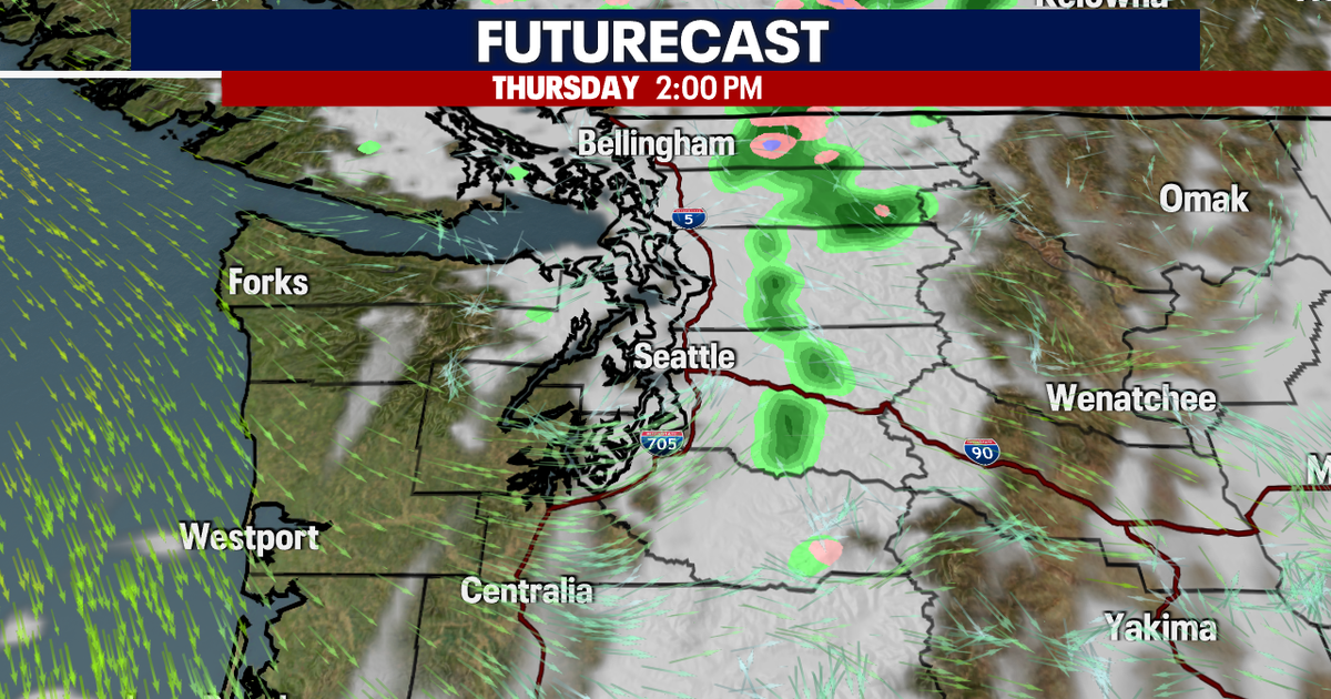 Seattle weather: Mild Wednesday, cooler later this week
Seattle weather: Morning fog, low 60s Tuesday Seattle - Western Washington’s weather will continue to stay quiet through Friday, though some could see a few light showers on Thursday. Light offshore flow won't be strong…
-
 Seattle Kraken
Fairbanks Daily News-Miner "Let's look back at some of our history together." David Underwood of Fairbanks captured this autumn tableau, titling it âTreebeard eying my fall pumpkin harvest.â - Winter storm could…
-
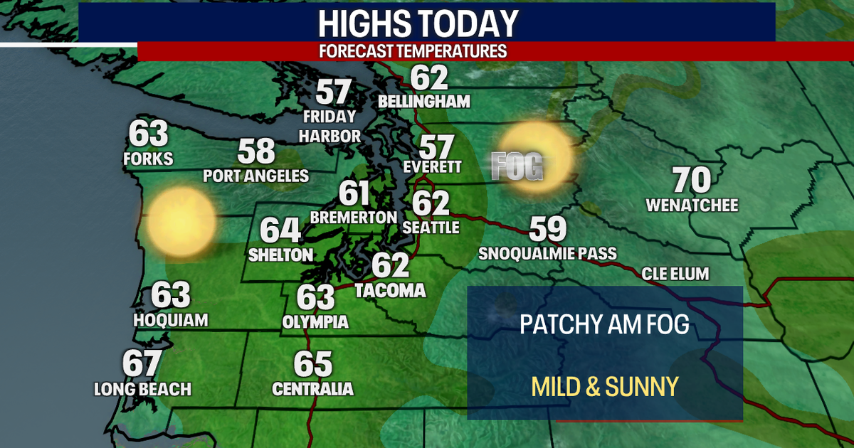 Seattle weather: Sunny and mild to start this week, dry weather ahead
FOX 13 Seattle Meteorologist Claire Anderson has your latest western Washington weather forecast. Nice and dry weather throughout this week with plenty of sunshine. Tuesday will be another mild day with highs in the low…
-
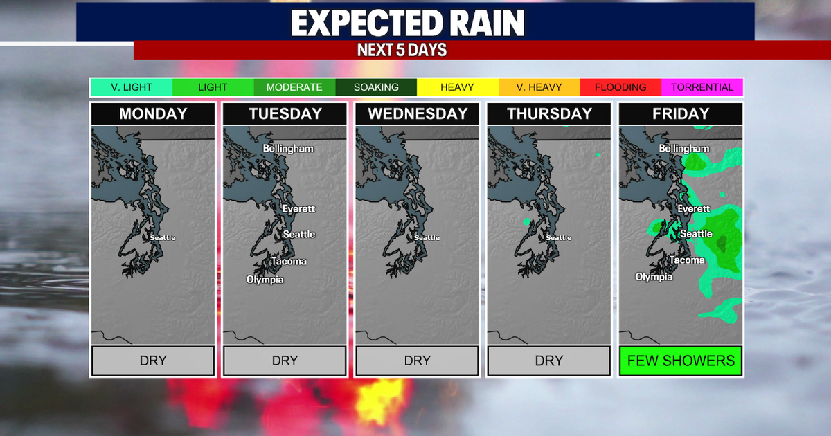 Seattle weather: Morning fog, afternoon sun through Wednesday
Seattle weather: Morning clouds in the low 60s Monday SEATTLE - Western Washington is heading into a stretch of quiet fall weather this week, with plenty of sunshine in the mix over the next few days. High clouds are…
-
 TRAFFIC, WEATHER, TRANSIT: Tuesday notes
6:03 AM: Good morning! Welcome to Tuesday, October 20, 2026. Sunny, high near 60. Sunrise will be at 7:35 am today, with sunset at 6:11 pm. Washington State Ferries – The Triangle Route is now on the two-boat schedule…
- Wisconsin Winter 2026-27: Milwaukee, 55.8-Inch Snow History
NOAA historical maps covering 1950–2009 show that strong El Niño winters have generally favored below-average snowfall across Wisconsin and the broader Upper Midwest. However, those maps do not establish a comparable…
- Kentucky Winter 2026-27: Louisville, 13.89-Inch Snow History
NOAA's historical El Niño snowfall analysis from 1950–2009 shows mixed snowfall departures across Kentucky and neighboring states, without establishing a consistent statewide increase or decrease. Why El Niño Doesn't…
-
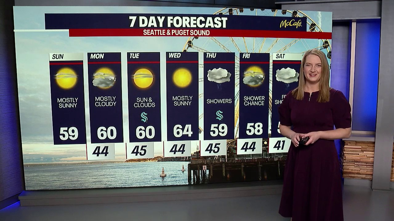 Seattle weather: cooler temps and sunshine returns
FOX 13 Seattle FOX 13 reporter Jennifer Dowling has your seven day forecast
- El Nino, Sea Level, and Kelvin Waves: Correcting Media Errors
From the Cliff Mass Weather Blog The media recently reported on oceanic Kelvin waves and their connection to El Nino. See samples below. Some of the information is correct; some is problematic or exaggerated (samples…
Air quality
Acceptable. Unusually sensitive people should consider limiting prolonged outdoor exertion.
Forecast
- WedGood (33)
- ThuGood (33)
- FriGood (33)
Seattle-Bellevue-Kent Valley, WA reporting area · 2 hrs ago. Data from AirNow (EPA and its state, local and tribal partners); preliminary and subject to change.
Sun & moon
Almanac
MonthlySeattle City Area, records since 1894. Normals 1991–2020. Data from NOAA's Regional Climate Centers (ACIS).
Nearby
Forecasters' discussion
From the National Weather Service office in SEW, issued 2 hrs ago
Synopsis
Upper level trough offshore today and tonight will move inland Thursday with not much moisture associated with the trough. Temporary ridge over the area Friday. Lots of uncertainty in the weekend forecast with a chance of a system moving through Western Washington. Trailing upper level low could still be around Monday before an upper level ridge builds Monday night and Tuesday.
Short Term
Satellite imagery shows fog in the Snoqualmie and Snohomish river valleys with some low clouds and fog near the water in Whatcom, Skagit and Snohomish county. Mostly clear skies over the remainder of the area. Temperatures at 3 AM/10Z were in the mid 30s to mid 40s.
Low level offshore flow this morning will not be strong enough to prevent a little more fog and low clouds from forming near the Puget Sound in the next couple of hours. The layer will be shallow with sunny skies across the area by mid morning. The offshore flow will add a couple of degrees to the highs with most places in the 60s. Not expecting any records but this time of year highs in the upper 60s can be records. The forecast high of 65 in Seattle would be the 10th warmest October 21st in 82 years of records.
Low level flow turning light tonight and remaining light into Thursday. Upper level trough offshore reaching the coast late Thursday increasing the cloud cover over the area Thursday afternoon but not producing any shower activity. Lows tonight in the mid 30s to mid 40s. Cooler Thursday with highs in the mid 50s to lower 60s.
Upper level trough moving through Thursday night perhaps giving the Cascades a shower or two. Mostly cloudy skies in the evening thinning out a little overnight. Lows in the lower 30s to lower 40s.
Weak temporary upper level ridge moving through Friday for another dry day. Light onshore flow in the lower levels with morning low clouds becoming at least partly sunny in the afternoon. Highs in the mid 50s to lower 60s. Felton
Long Term
Upper level ridge weakening and moving east Friday night. Models continuing to have trouble coming to a consistent solution for the weekend. The ensembles favor a weak system moving through later Saturday into Sunday morning. Ensemble mean pops are slowly getting lower in the last three runs with now just chance pops for everywhere but the north coast. Upper level low associated with the front hanging around later Sunday into Sunday night keeping chance/slight chance pops in the forecast. There is better consensus with an upper level ridge building Monday or Monday night for a dry Tuesday. Highs in the 50s through the period. If the ridge does build later Monday good chance we see some lows in the 20s Tuesday morning. Felton
As we head into the last third of October here are some current October rainfall totals in the west. You don't see this very often. Seattle 0.08 inches, Los Angeles 0.23 inches, San Diego 1.04 inches, Palm Springs 1.17 inches, Las Vegas 1.19 inches, Phoenix 0.42 inches. Felton
Aviation
An upper level low continues to spin off CA with dry and stable conditions across western WA. The flow aloft remains southwesterly. Light and variable winds in place for all terminals this early morning except for HQM, where easterly winds ranging 5-10 kts are expected to remain in place into at least late morning/early afternoon. Widespread north to northwesterly winds expected by noon today although speeds expected to generally remain less than 5 or 6 kts for the remainder of the TAF period. HQM may start the afternoon ranging 4-8 kts but winds there will also ease to around 5 kts by this evening.
Low stratus and fog in the interior this morning for IFR to LIFR conditions. Low clouds will scatter by 18-20Z time frame. VFR conditions return for the remainder of the TAF period.
KSEA...Shallow/patchy fog this morning with VFR returning by 18-20z. Light and variable winds this morning before becoming more NW this afternoon with speeds around 5 kt. Winds will shift northerly this evening while speeds remain the same.
33/18
Forecasts, observations and alerts in the United States come from the National Weather Service (NOAA); radar from NOAA's Multi-Radar Multi-Sensor system; satellite imagery from NASA's Global Imagery Browse Services (GIBS) and NOAA's GOES satellites; the map from the U.S. Geological Survey's National Map; air quality from AirNow (EPA and its partners); hurricane information from the National Hurricane Center; climate normals and records from NOAA's Regional Climate Centers (ACIS). Forecasts outside the United States and the UV index: MET Norway (CC BY 4.0); observations outside the U.S.: airport reports via NOAA's Aviation Weather Center. Place names: GeoNames (CC BY 4.0). Data are copied on a schedule and may lag the sources; for warnings that affect your safety, follow your local National Weather Service office and emergency officials. Weather news is drawn from the 4Conservative index and reflects what the press published. Terms of use.