Install
Cottonwood, CA 96022 Weather
Current conditions
Observed at Redding Municipal Airport · 32 min ago
Forecast
10-day-
Tonight
Mostly clear. Low around 42, with temperatures rising to around 44 overnight. West wind around 1 mph.
-
Sunday
Partly sunny, with a high near 72. North northwest wind 1 to 5 mph.
-
Sunday Night
Partly cloudy. Low around 42, with temperatures rising to around 44 overnight. South wind 0 to 3 mph.
National Weather Service forecast updated 13 hrs ago.
Hourly
Hourly forecast- Now46°
- 4 AM44°
- 5 AM44°
- 6 AM44°
- 7 AM42°
- 8 AM44°
- 9 AM49°
- 10 AM56°
- 11 AM60°
- 12 PM63°
- 1 PM66°
- 2 PM68°
- 3 PM68°
- 4 PM70°
- 5 PM71°
- 6 PM69°
- 7 PM65°
- 8 PM60°
- 9 PM57°
- 10 PM55°
- 11 PM52°
- Mon12 AM50°
- 1 AM48°
- 2 AM47°
10-day forecast
Details- TonightOct 24Mostly Clear42°
- TodayOct 25Partly Sunny42°72°
- MonOct 26Sunny39°69°
- TueOct 27Sunny41°71°
- WedOct 28Mostly Sunny41°68°
- ThuOct 29Mostly Sunny then Slight Chance Light Rain15%38°65°
- FriOct 30Slight Chance Light Rain20%37°63°
- SatOct 31Mostly Sunny13%63°
- SunNov 1Sunny41°61°
- MonNov 2Cloudy42°63°
Days after the National Weather Service's seven are MET Norway's outlook, a computer model with no forecaster's review.
Radar
Full mapWeather news near Cottonwood
More weather news-
 PAT NEAL: A winter weather forecast
Published 1:30 am Wednesday, October 21, 2026 By Pat Neal For Peninsula Daily News ONE OF MY favorite trees is an old cottonwood near my home. While I would not recommend having one of these trees anywhere near your…
-
 Tropical Storm Rachel Leaves A Big Mark
(Alta, UT) -- Tropical Storm Rachel is gone but the totals are just now being added up. Some parts of the Wasatch Mountains recorded over seven inches of rain. It was a similar number for the Pine Valley Mountains in…
-
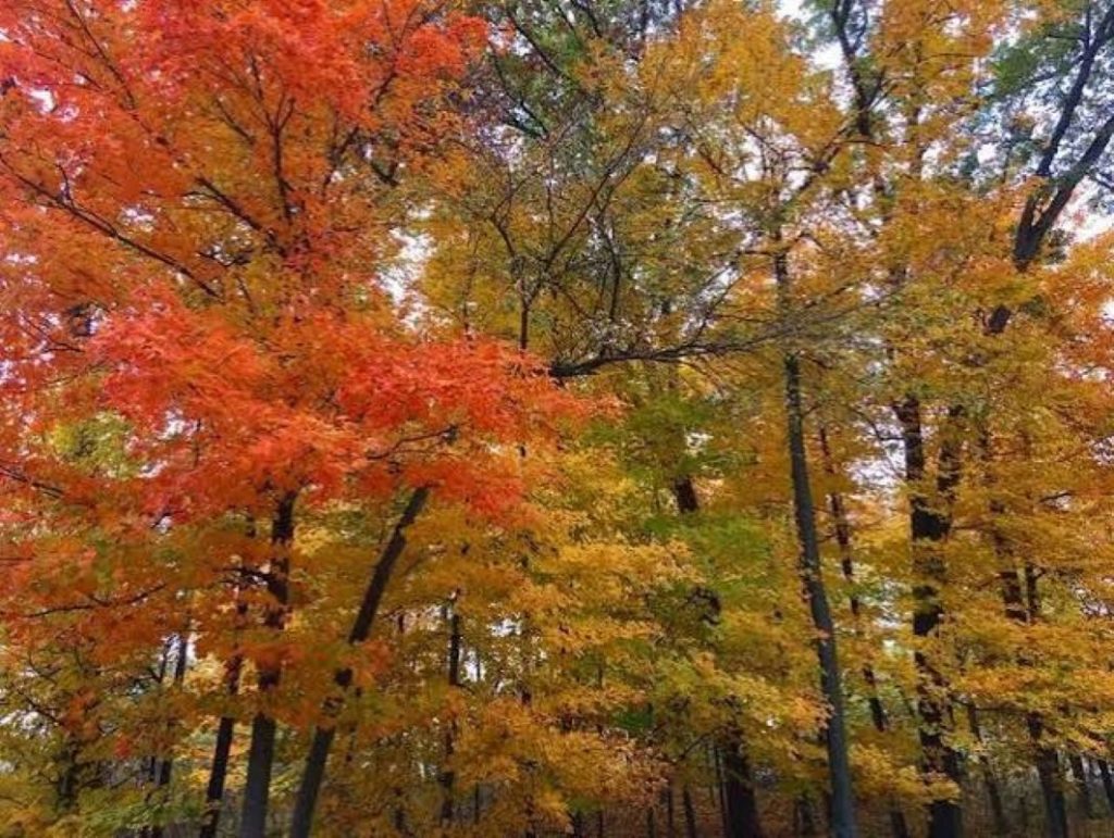 Fall Colors in Full Swing in Southeast Iowa
KCII Radio Fall color is in full swing in Iowa as the leaves begin to put on a show. Fall color has changed recently and is looking good in central Iowa. Walnut, elm, and cottonwood are yellow. Maples and black cherry…
-
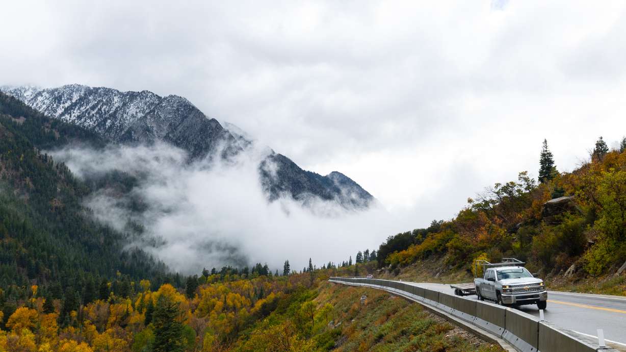 Hurricane Rachel’s Remnants Bring Record Precipitation to Drought-Stricken Utah
At SSBCrack News, our dedicated editorial team brings you the latest and most reliable updates on Defence, Geopolitics, Military Affairs, Science, and Technology. Driven by a passion for national security and strategic…
-
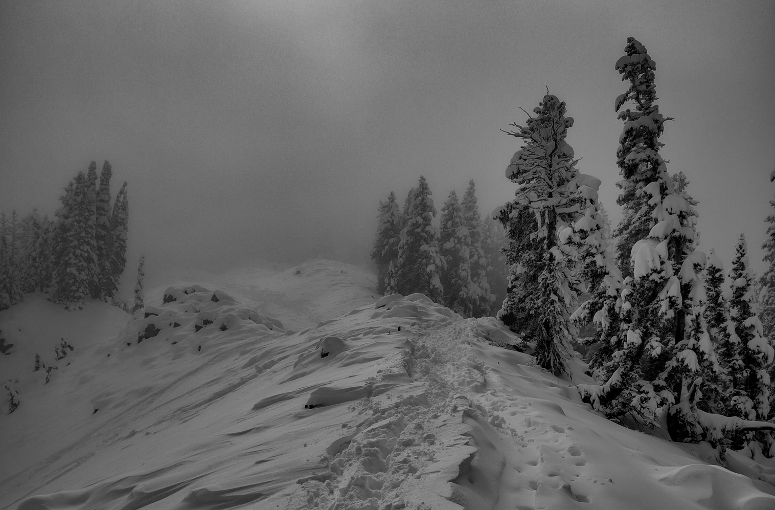 Alta, UT, Report: “How Much Did It Actually Snow?” | Dispelling the Misinformation in Little Cottonwood Canyon
Report from October 14, 2026 Aggressive misinformation is circulating about how much snow has fallen in Little Cottonwood Canyon. Social media posts showing deep snow skiing, people digging out cars from 3-foot…
-
 Tropical Storm Rachel's remnants are gone, but they left a record-high benefit
The remnants of what was once Hurricane Rachel ultimately delivered big totals across drought-stricken Utah. Gauges on Big Mountain and the Mount Timpanogos Divide in the Wasatch Mountains collected at least 7.5 inches…
-
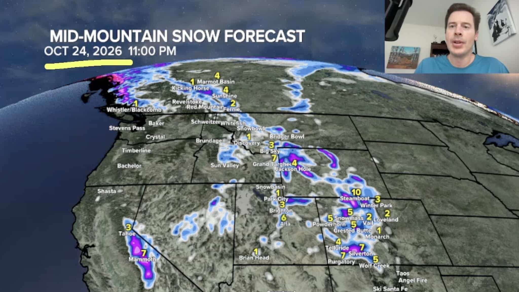 Sierra Nevada, Colorado, and Wyoming Could See A Lot More Snow Next Week
The Sierra Nevada is positioned to receive some of the highest snowfall totals in Tomer’s latest forecast. The incoming storm is expected to dig south into California, generating snowfall across the High Sierra. Tomer…
-
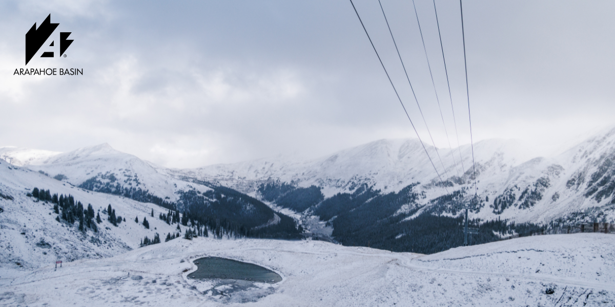 October Storms Bring Fresh Snow to Ikon Pass Country
From the Wasatch to the Rockies and European peaks, early snowfall signals the approach of the 2026–27 ski season. Winter is beginning to show itself across Ikon Pass country, with October storms bringing fresh snow to…
-
 The First Major Storm of the 2026–27 Ski Season: What It Delivered
After weeks of watching forecasts and waiting for temperatures to cooperate, winter finally made a more convincing appearance across parts of the West. The storm system that moved through Utah brought around 8–10 inches…
-
 October Storms Blanket Ikon Pass Country With Snow
thecanadianpressnews.ca First Snow at Arapahoe Basin - In Utah, Deer Valley Resort, Solitude Mountain Resort, Alta Ski Area, Snowbird, Snowbasin and Brighton received their first measurable snow of the season on Monday…
Air quality
Air quality is satisfactory, and air pollution poses little or no risk.
Redding, CA reporting area · 1 hr ago. Data from AirNow (EPA and its state, local and tribal partners); preliminary and subject to change.
Sun & moon
Almanac
MonthlyRedding Area, records since 1893. Normals 1991–2020. Data from NOAA's Regional Climate Centers (ACIS).
Nearby
- Redding 25 km
- Red Bluff 23 km
- Anderson 9 km
- Shasta Lake 35 km
- Corning 51 km
- Bella Vista 31 km
- Shingletown 40 km
- Los Molinos 44 km
Forecasters' discussion
From the National Weather Service office in STO, issued 15 hrs ago
Key Messages
- Dry weather continues through most of next week, chance for light showers over the Shasta County mountains on Monday
- Breezy to gusty onshore winds on Monday, strongest in the mountains
- Potential for unsettled weather Halloween Weekend, but details remain uncertain
.DISCUSSION...
...Today through Monday...
Mostly clear skies today, following the rain and cloudy weather we experienced the last couple of days. Winds will steadily decrease today, with downsloping northeast to east winds lingering in the mountains through this evening, up to 15 to 25 mph at times. Given the timing of the winds, cooler temperatures, and the recent rainfall, no widespread fire weather concerns are anticipated at this time. However, as northerly winds decrease, there is a 5 to 20% chance of fog development in the Valley overnight tonight; highest chances in the northern San Joaquin Valley.
Aviation
Predominantly VFR conditions are expected over the next 24 hours. North to east winds decrease today, becoming less than 12 kts by 00Z Sunday. Potential for isolated FG/BR in the Valley from 11Z-16Z Sunday. Increasing mid to high level clouds ahead of a weak system tonight into Sunday.
Sto Watches
None.
Forecasts, observations and alerts in the United States come from the National Weather Service (NOAA); radar from NOAA's Multi-Radar Multi-Sensor system; satellite imagery from NASA's Global Imagery Browse Services (GIBS) and NOAA's GOES satellites; the map from the U.S. Geological Survey's National Map; air quality from AirNow (EPA and its partners); hurricane information from the National Hurricane Center; climate normals and records from NOAA's Regional Climate Centers (ACIS). Forecasts outside the United States and the UV index: MET Norway (CC BY 4.0); observations outside the U.S.: airport reports via NOAA's Aviation Weather Center. Place names: GeoNames (CC BY 4.0). Data are copied on a schedule and may lag the sources; for warnings that affect your safety, follow your local National Weather Service office and emergency officials. Weather news is drawn from the 4Conservative index and reflects what the press published. Terms of use.