Install
Redding, CA 96003 Weather
Current conditions
Observed at Redding Municipal Airport · 46 min ago
Forecast
10-day-
Today
Sunny. High near 70, with temperatures falling to around 68 in the afternoon. North wind 3 to 12 mph, with gusts as high as 21 mph.
-
Tonight
Clear. Low around 47, with temperatures rising to around 49 overnight. North wind 7 to 12 mph, with gusts as high as 25 mph.
-
Saturday
Sunny. High near 76, with temperatures falling to around 74 in the afternoon. North northeast wind 2 to 9 mph, with gusts as high as 21 mph.
National Weather Service forecast updated 6 hrs ago.
Hourly
Hourly forecast- Now46°
- 9 AM49°
- 10 AM55°
- 11 AM58°
- 12 PM61°
- 1 PM65°
- 2 PM68°
- 3 PM69°
- 4 PM70°
- 5 PM68°
- 6 PM66°
- 7 PM63°
- 8 PM57°
- 9 PM55°
- 10 PM53°
- 11 PM53°
- Sat12 AM52°
- 1 AM51°
- 2 AM51°
- 3 AM50°
- 4 AM49°
- 5 AM49°
- 6 AM48°
- 7 AM47°
Daily forecast
Details- TodayOct 23Sunny47°70°
- SatOct 24Sunny44°76°
- SunOct 25Sunny44°71°
- MonOct 26Sunny44°69°
- TueOct 27Sunny44°69°
- WedOct 28Mostly Sunny45°70°
- ThuOct 29Mostly Sunny15%45°69°
- FriOct 30Cloudy52°72°
- SatOct 31Cloudy0.12 in49°74°
Days after the National Weather Service's seven are MET Norway's outlook, a computer model with no forecaster's review.
Radar
Full mapWeather news near Redding
More weather news-
 Locust Watch: Seasonal precipitation predictions in the Desert Locust summer/winter breeding areas (November 2026–April 2027) (21 October 2026)
Extremely strong El Niño conditions and a more positive Indian Ocean Dipole (IOD) favour we er conditions in eastern Africa, although the spring signal in Northwest Africa requires further confirmation. Dry conditions…
-
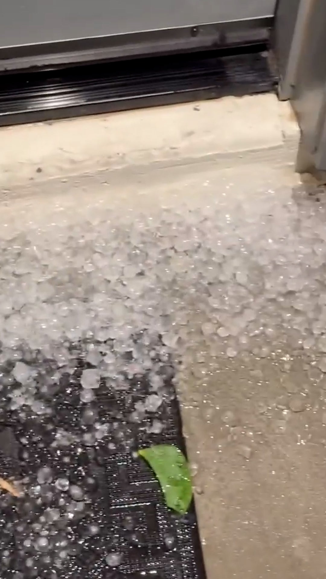 Egg-sized hail in Arizona
The Weather Channel Egg-sized hail in Arizona Paying to suffer: Tourists spend big bucks to get blasted by fake storm Adorable dog gets the zoomies among colorful New England leaves Strong Santa Ana winds topple massive…
-
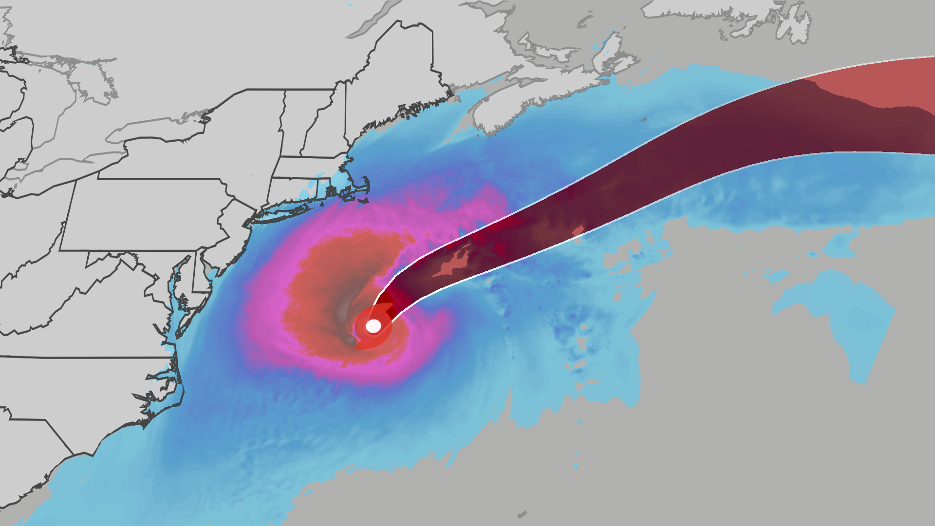 Nor’easter develops into Subtropical Storm Josephine
The Weather Channel Subtropical Storm Josephine lashes East Coast with winds, waves The nor’easter bringing primarily wind, coastal flooding and rip currents to the East Coast has now been named Subtropical Storm…
-
 Hail and strong winds hit central Arizona on Tuesday
The Weather Channel Supercell hits Phoenix suburbs with egg-sized hail and 60 mph winds Heavy hail crashed down when thunderstorms rolled through the Phoenix area on Tuesday night. The area saw hail up to the size of…
-
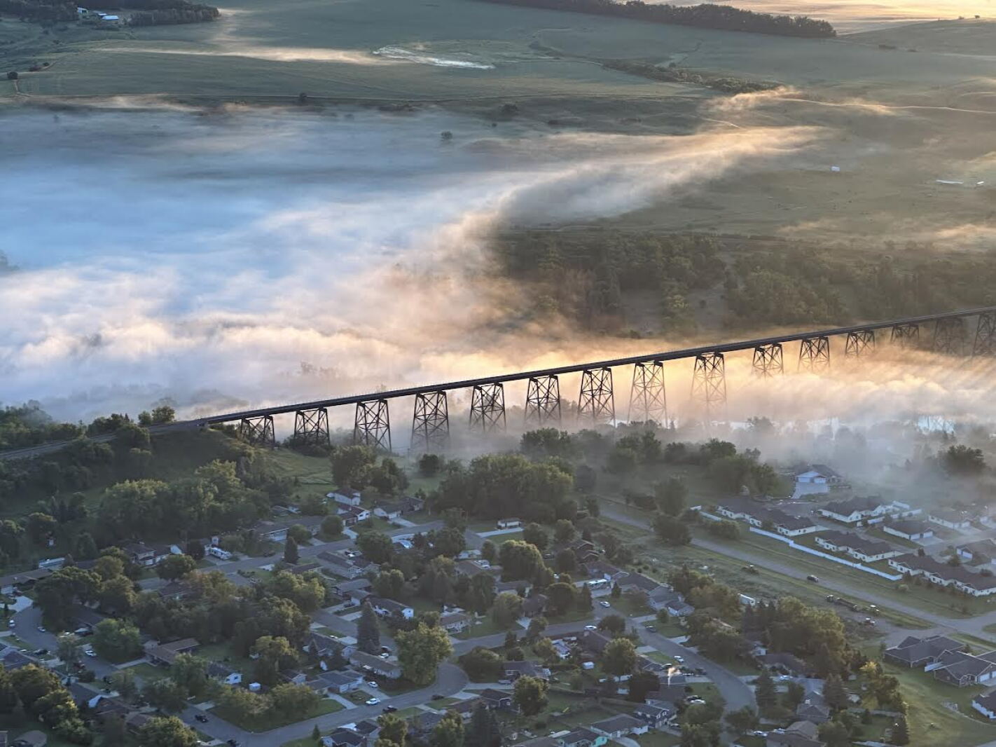 Weather Wednesday: Valley Fog
FARGO, ND — The James River Valley and the Sheyenne River Valley might not be as grandiose as the valleys in the mountains or along the Mississippi, but they do have one thing in common: valley fog. Valley fog is a type…
-
 Maryland Drivers Urged To Watch For Children At Bus Stops As Mornings Grow Darker
CALIFORNIA, Md. — As mornings grow darker and daylight saving time approaches its end, Maryland drivers are being reminded to slow down and watch for children walking to school bus stops during their morning commutes…
- IMD issues red alert for very heavy to extremely heavy rainfall in coastal Andhra Pradesh
News On AIR Play Audio Morning News News On AIR | October 18, 2026 3:58 PM IMD issues red alert for very heavy to extremely heavy rainfall in coastal Andhra Pradesh
-
 Schools to close on Friday due to Storm Austen
All schools have been told to close on Friday because of the high winds predicted to be caused by Storm Austen, the Government of Jersey has said. Winds of up to 80mph are set to hit Jersey on Friday morning, with a red…
-
 The Breakdown: Radar — What Those Colors Really Tell Us
MEMPHIS, Tenn. (WMC) - That blob of green, yellow and red on radar isn’t a live picture of the sky. Weather radar sends out pulses of energy, then listens for what bounces back. The stronger the return, the bigger and…
-
 Tropical Storm Vance has formed in the Pacific Ocean
Vance was located about 520 miles south of Acapulco, Mexico, on Wednesday afternoon. The center of the cyclone was at sea and posed no threat to land. Vance was located about 520 miles south of Acapulco, Mexico. Maximum…
Air quality
Air quality is satisfactory, and air pollution poses little or no risk.
Redding, CA reporting area · 1 hr ago. Data from AirNow (EPA and its state, local and tribal partners); preliminary and subject to change.
Sun & moon
Almanac
MonthlyRedding Area, records since 1893. Normals 1991–2020. Data from NOAA's Regional Climate Centers (ACIS).
Nearby
- Red Bluff 51 km
- Anderson 21 km
- Shasta Lake 6 km
- Weaverville 51 km
- Cottonwood 28 km
- Bella Vista 10 km
- Shingletown 42 km
Forecasters' discussion
From the National Weather Service office in STO, issued 20 hrs ago
Key Messages
- Scattered showers, thunderstorm chances, and high elevation snow showers through this evening. Lingering mountain showers Friday morning.
- Breezy north to east winds develop Friday afternoon into Saturday AM, followed by weaker downsloping winds Sat PM-Sun AM.
- Dry weather continues through most of next week, with potential for unsettled weather Halloween Weekend.
.DISCUSSION...
...Today through Friday AM... Cloudy skies and scattered showers are actively being observed across interior Northern California. Some isolated moderate to heavy rain will be possible at times, but precipitation will largely be light to moderate. Shower activity will gradually trend down through the afternoon hours, but a few scattered light showers may linger over the Sierra. Given the cloud cover and lack of instability as this weather system treks through Southern California, the threat for thunderstorms has largely trended down, but an isolated thunderstorm (10-15% chance) is still possible over the Sierra and Motherlode this afternoon/early evening. Forecast precipitation amounts for the remainder of the day are around 0.10 to 0.20 inches in the Valley, with higher amounts just over 0.50 inches along the Sierra.
Snow levels continue to be around 8000-9000 feet in the Sierra today, with additional snowfall amounts of 1-3 inches at the highest peaks. Best chance for snow will be toward Mono county and into the Yosemite area. Minor impacts are possible at the highest elevations in Tuolumne county and toward Alpine due to the snow.
Aviation
Showers and isolated thunderstorms continue through the afternoon and evening hours, with localized areas of MVFR to IFR ceilings. Best timeframe for thunderstorms will be 2000z through 0400z for all sites with a 10-15% chance of occurrence. Winds will remain light throughout the day outside of erratic winds near thunderstorms. After 06z Friday, showers linger over the Sierra into Friday 18z and fog and stratus in the Valley overnight after 09z Friday with lowered ceilings as low as IFR to LIFR ceilings. Snow levels 7500-8500 feet until lowering after 12z Friday to around 6000-8000 feet.
Sto Watches
None.
Forecasts, observations and alerts in the United States come from the National Weather Service (NOAA); radar from NOAA's Multi-Radar Multi-Sensor system; satellite imagery from NASA's Global Imagery Browse Services (GIBS) and NOAA's GOES satellites; the map from the U.S. Geological Survey's National Map; air quality from AirNow (EPA and its partners); hurricane information from the National Hurricane Center; climate normals and records from NOAA's Regional Climate Centers (ACIS). Forecasts outside the United States and the UV index: MET Norway (CC BY 4.0); observations outside the U.S.: airport reports via NOAA's Aviation Weather Center. Place names: GeoNames (CC BY 4.0). Data are copied on a schedule and may lag the sources; for warnings that affect your safety, follow your local National Weather Service office and emergency officials. Weather news is drawn from the 4Conservative index and reflects what the press published. Terms of use.