Install
Ione, CA 95640 Weather
Current conditions
Forecast for this hour (no station report in the last two hours)
Forecast
10-day-
Monday
Sunny, with a high near 69. Southwest wind 2 to 6 mph.
-
Monday Night
Clear, with a low around 46.
-
Tuesday
Sunny, with a high near 69.
National Weather Service forecast updated 2 days ago.
Hourly
Hourly forecast- Now64°
- 1 PM66°
- 2 PM67°
- 3 PM67°
- 4 PM68°
- 5 PM67°
- 6 PM65°
- 7 PM62°
- 8 PM59°
- 9 PM57°
- 10 PM55°
- 11 PM53°
- Tue12 AM52°
- 1 AM51°
- 2 AM50°
- 3 AM49°
- 4 AM48°
- 5 AM48°
- 6 AM46°
- 7 AM46°
- 8 AM46°
- 9 AM50°
- 10 AM54°
- 11 AM59°
Daily forecast
Details- SatOct 24Sunny49°71°
- SunOct 25Sunny50°73°
- TodayOct 26Sunny46°69°
- TueOct 27Sunny46°69°
- WedOct 28Mostly Sunny48°67°
- ThuOct 29Partly Sunny12%46°65°
- FriOct 30Mostly Sunny then Slight Chance Light Rain19%44°63°
- SatOct 31Mostly sunny42°62°
- SunNov 1Sunny41°61°
Days after the National Weather Service's seven are MET Norway's outlook, a computer model with no forecaster's review.
Radar
Full mapWeather news in California
More weather news-
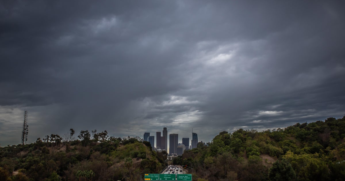 Southern California's Halloween weekend seeing greater potential for rain
October 26, 2026 / 7:48 AM PDT / CBS LA Confidence is growing that Southern California's Halloween weekend will be wet, although it's unclear just how wet as of Monday. According to the National Weather Service, there's…
-
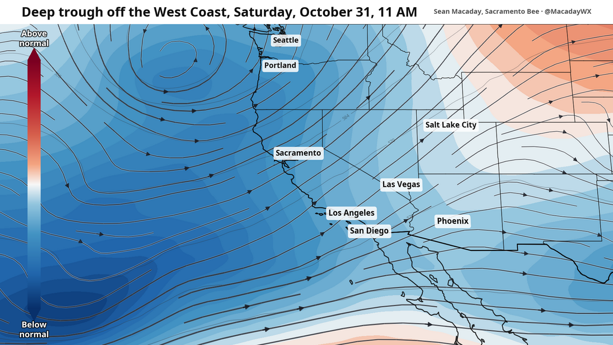 Will it rain on Halloween? What to expect as temps cool across California this week
Temperatures were spot-on average across California this past weekend, but cooler air will arrive this week and create a window for rain as Halloween nears. Mountain temps will remain cool in the 40s and 50s, with more…
-
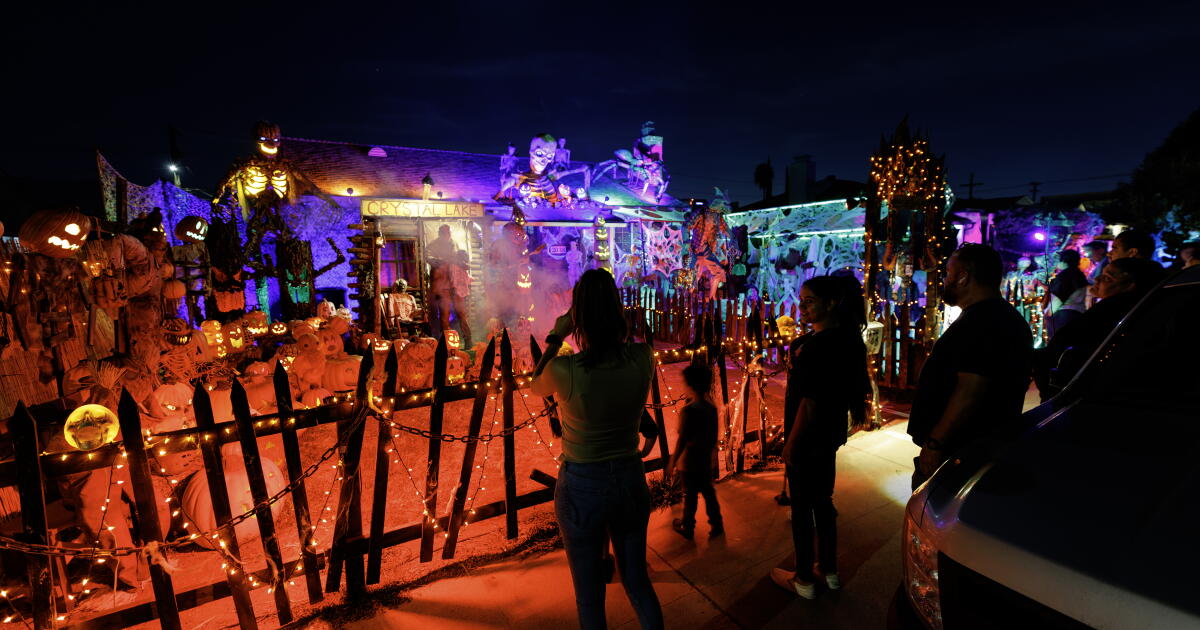 Rain on Halloween? L.A. could have its first wet Halloween in a decade
The reprieve from rain is expected to last just a few more days as forecasters warn of another storm system that could bring Los Angeles its first rainy Halloween since 2014. It’s still too far out to know the exact…
-
 How daylight saving time changes affect your circadian rhythm and what you can do about it
The stress of switching to daylight saving time is more than just mental. Science shows it takes a physical toll as well. An extra hour of sleep is on the way for most Americans, though the “fall back” to standard time…
-
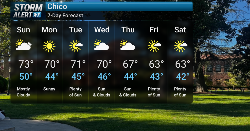 Gradual cool down into next week
Tonight, clear skies are expected across Northern California following recent showery and cloudy conditions. A low chance of fog development is possible overnight in the North and Central Valley. A low chance of fog…
-
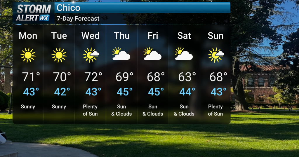 Bright, cooler early week; gusty winds for some
Breezy to gusty onshore winds are expected tonight, particularly over the higher elevations of the southern Cascades and northern Sierra, where wind gusts could reach 30 to 50 mph. Light showers are possible over the…
-
 Depression over Bay likely to intensify into cyclonic storm tomorrow
Sunday October 25, 2026 The depression over the east-central Bay of Bengal and adjoining south-eastern Bay moved south-eastwards within the same area and may intensify into a deep depression today (25 October). At 6am…
-
 'El Niño' shifts global weather patterns: What it means for Bangladesh
Sunday October 25, 2026 The Bangladesh Meteorological Department (BMD) reads the situation similarly, on a slightly later clock: a cyclone could form around 27 or 28 October, its meteorologists say. They put the chance…
- Depression over Bay likely to intensify into deep depression
Sunday October 25, 2026 The depression over the east-central Bay of Bengal and adjoining south-eastern Bay moved south-eastwards within the same area and may intensify into a deep depression today (25 October). At 6am…
-
 Chilly winds, morning fog signal winter's arrival in northern Bangladesh
Sunday October 25, 2026 Chilly winds and morning fog are signalling the advent of winter in northern Bangladesh, with the minimum temperature in Panchagarh dropping to 17.4 degrees Celsius today (25 October) morning…
Air quality
Air quality is satisfactory, and air pollution poses little or no risk.
Calaveras County, CA reporting area · 1 hr ago. Data from AirNow (EPA and its state, local and tribal partners); preliminary and subject to change.
Sun & moon
Almanac
MonthlySutter Hill Cdf, records since 1968. Normals 1991–2020. Data from NOAA's Regional Climate Centers (ACIS).
Nearby
- Sacramento 56 km
- Stockton 52 km
- Elk Grove 38 km
- Roseville 56 km
- Arden-Arcade 48 km
- Citrus Heights 51 km
- Folsom 43 km
- Rancho Cordova 42 km
- Lodi 37 km
- Carmichael 46 km
- Rocklin 57 km
- West Sacramento 58 km
Forecasters' discussion
From the National Weather Service office in STO, issued 1 day ago
Key Messages
- Chance for light showers over the Coast Range and northern mountains on Monday; dry weather elsewhere through Thursday
- Breezy to gusty onshore winds tonight-Monday, strongest over the higher elevations of the southern Cascades and northern Sierra
- Confidence increasing in unsettled weather Friday into the weekend with renewed precipitation chances, cooler temperatures and breezy winds
.DISCUSSION...
...Today through Thursday Morning... Current GOES-west visible satellite imagery illustrates mostly sunny skies with few to scattered mid to high level clouds slowly drifting over northern California on this Sunday afternoon. Surface observations show current temperatures generally in the 60s in the Valley, 50s and 60s in the foothills and 40s to 50s in the mountains. The upper level pattern features an upper low moving into the Pacific Northwest. As this system clips northern California, increased southwesterly winds are expected, especially over the Sierra Nevada and southern Cascades. Wind gusts of 30 to 50 mph are forecast for the highest elevations tonight through Monday. Additionally, there is a slight chance of some light showers over the Coast Range and northern mountains from this weak system later tonight through mid-day Monday.
Dry weather is expected elsewhere for much of the week ahead. Continued influence of Pacific NW troughing will keep temperatures below normal for late October climatology through the week. Due to recent rains, cool temperatures and light surface winds, patchy fog or haze will be possible each morning in the Valley over the next several days. Cold overnight temperatures will continue for the mountains and basins where morning lows are forecast to be near to below freezing over the next several nights.
Aviation
Predominantly VFR conditions are expected over the next 24 hours. Potential for isolated FG/BR in the Valley from 11Z-18Z Monday. Increasing mid to high level clouds through tonight. Winds generally less than 12 kts through 04z Monday, with increasing south to southwest winds in the Delta, southern Sacramento Valley, and over the Sierra (highest gusts over the crest) with gusts up to 20 kts in the Delta and eastern half of the Sacramento Valley, and up to 40 kts at higher elevations in the mountains.
Sto Watches
None.
Forecasts, observations and alerts in the United States come from the National Weather Service (NOAA); radar from NOAA's Multi-Radar Multi-Sensor system; satellite imagery from NASA's Global Imagery Browse Services (GIBS) and NOAA's GOES satellites; the map from the U.S. Geological Survey's National Map; air quality from AirNow (EPA and its partners); hurricane information from the National Hurricane Center; climate normals and records from NOAA's Regional Climate Centers (ACIS). Forecasts outside the United States and the UV index: MET Norway (CC BY 4.0); observations outside the U.S.: airport reports via NOAA's Aviation Weather Center. Place names: GeoNames (CC BY 4.0). Data are copied on a schedule and may lag the sources; for warnings that affect your safety, follow your local National Weather Service office and emergency officials. Weather news is drawn from the 4Conservative index and reflects what the press published. Terms of use. How to use Weather